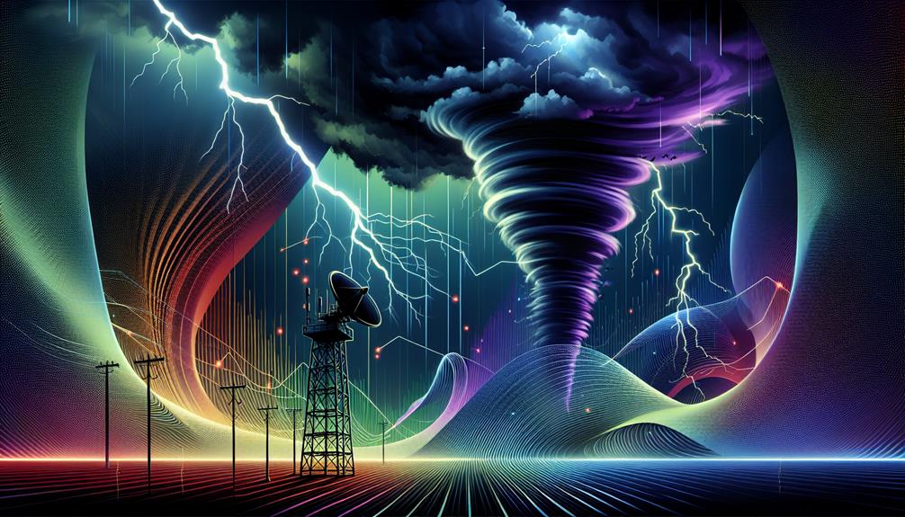
We leverage Doppler radar for storm chasing by using its precise storm detection and accurate wind speed measurement capabilities. It delivers real-time data analysis, enhancing our ability to monitor and predict severe weather patterns. This technology greatly enhances tracking precision, allowing us to issue early severe weather warnings and implement effective safety measures. Doppler radar also guarantees our safety by providing detailed views of storm structures and wind velocities. Through its detailed data, we achieve better planning and safer storm chasing missions. The in-depth understanding we gain through this technology illuminates more advanced storm chasing strategies.
Key Points
- Doppler radar provides real-time data analysis for immediate detection and tracking of storm developments.
- Accurate wind speed measurements from Doppler radar aid in understanding and predicting storm dynamics.
- Enhanced visualization tools from Doppler radar offer dynamic, real-time storm cell tracking and monitoring.
- Early severe weather warnings facilitated by Doppler radar ensure timely community safety measures.
Enhanced Storm Detection
With Doppler radar's advanced capabilities, we've significantly improved our ability to detect and analyze severe storms in real-time. Our storm observation techniques have evolved considerably, thanks to this advanced technology. By emitting and receiving microwave signals, Doppler radar allows us to measure the speed of raindrops within a storm system. This data reveals crucial information about storm structure, intensity, and movement.
The scientific advancements in storm monitoring are truly groundbreaking. We've progressed from basic visual observations to precise, data-driven analysis. Doppler radar's capability to provide high-resolution data enables us to identify the formation of tornadoes, track their paths, and predict their potential impact zones with unparalleled accuracy.
This jump in technology has empowered us to make informed decisions and issue timely warnings, thereby protecting lives and property.
Accurate Wind Speed Measurement
Doppler radar's ability to measure wind speed with precision enhances our understanding of storm dynamics and helps us better predict severe weather events. By utilizing advanced technology, we can capture detailed velocity data within storm systems. This capability allows us to observe wind patterns at multiple altitudes, identifying shifts and rotations that signify potential tornado formation.
With Doppler radar, we're not just improving forecasting; we're revolutionizing it. This technology provides us with real-time velocity measurements that are critical for issuing timely warnings. For instance, by detecting wind shear and mesocyclone presence, we can predict tornado genesis more accurately, reducing false alarms and ensuring public safety.
Moreover, Doppler radar's high-resolution data enables us to dissect the internal structure of hurricanes and other large-scale storm systems. We can measure wind speeds that exceed the limits of traditional anemometers, providing a detailed view of storm intensity. This data is invaluable for refining predictive models and enhancing our overall understanding of meteorological phenomena.
In essence, the precise wind speed measurements from Doppler radar empower us to make more informed decisions during severe weather events. By leveraging this advanced technology, we can better protect lives and property, ensuring that freedom-loving individuals can live without undue fear of unpredictable storms.
Real-Time Data Analysis
With Doppler radar, we can analyze real-time data to detect immediate weather patterns and enhance storm tracking accuracy. This technology allows us to process live information, providing predictive meteorological insights that are essential for making informed decisions.
As a result, our ability to anticipate storm behavior improves, ensuring better safety and preparedness.
Immediate Weather Pattern Detection
Real-time data analysis enables storm chasers to identify immediate weather patterns, enhancing their ability to predict severe weather events accurately. Utilizing advanced technology, such as Doppler radar, we can monitor atmospheric conditions with remarkable precision. This immediate weather monitoring allows us to detect changes in wind velocity, precipitation intensity, and storm cell development in real time.
With Doppler radar, we're not just passively observing; we're actively interpreting data streams. This gives us the freedom to make split-second decisions that can mean the difference between merely observing a storm and understanding its potential impact. The radar's ability to measure the velocity of raindrops moving towards or away from the radar site provides us with critical insights into rotational patterns indicative of tornado formation.
Moreover, Doppler radar's high-resolution capabilities enable us to distinguish between different types of precipitation—be it rain, hail, or snow—allowing for more informed predictions. By leveraging this advanced technology, we're capable of charting storm trajectories and intensities with unprecedented accuracy.
Immediate weather pattern detection isn't just about seeing what's happening now; it's about anticipating what comes next, empowering us to act in real-time to protect lives and property.
Enhanced Storm Tracking Accuracy
Our ability to track storms with exceptional precision hinges on live data analysis, transforming raw data into actionable insights. By leveraging Doppler radar technology, we can monitor storm behavior with a level of tracking precision that was previously unattainable. This technology allows us to analyze wind patterns, precipitation types, and storm intensity in real-time, enhancing our capability to respond swiftly and effectively.
In the domain of storm chasing, weather prediction and tracking accuracy are paramount. Doppler radar provides us with continuous updates, enabling us to discern subtle changes in storm dynamics. For instance, we can detect rotation within a storm cell, indicating potential tornado formation. This granularity in data helps us make informed decisions in the field, maximizing both our safety and our ability to gather critical meteorological data.
Moreover, the integration of real-time Doppler radar data with advanced computational models allows us to refine our understanding of storm behavior. By correlating observed data with predictive models, we can enhance tracking precision and improve our overall weather prediction capabilities. Ultimately, this empowers us to chase storms more effectively, armed with the most accurate, up-to-the-minute information possible.
Predictive Meteorological Insights
By analyzing live Doppler radar data, we can generate predictive meteorological insights that greatly enhance our storm chasing strategies. This real-time data allows us to observe evolving storm patterns with unparalleled precision. As a result, we can anticipate storm development more accurately, providing essential information for both safety and research purposes.
In our meteorological research, Doppler radar serves as an indispensable tool. It offers high-resolution data on wind velocities, precipitation intensity, and storm structure. These parameters are vital for robust weather prediction models. For instance, when we identify a mesocyclone's formation within a supercell, we can predict potential tornado genesis. This enables us to position ourselves strategically, maximizing data collection while minimizing risk.
Moreover, real-time analysis of Doppler radar data lets us adjust our strategies dynamically. We can track changes in storm intensity and movement, making on-the-fly decisions that are informed by the latest weather data. This adaptability is crucial to successful storm chasing, allowing us to stay ahead of the storm and gather valuable insights.
In essence, leveraging live Doppler radar data transforms our approach to storm chasing, making it more precise, adaptive, and ultimately, more effective.
Early Severe Weather Warning
We rely on real-time data analysis from Doppler radar to enhance prediction accuracy and issue early severe weather warnings.
This precise information allows us to take increased safety measures, protecting both storm chasers and the general public.
Real-Time Data Analysis
Leveraging Doppler radar technology, storm chasers can analyze real-time data to provide early alerts of severe weather events. By utilizing predictive forecasting and advanced algorithms, we can interpret the radar's data streams to detect emerging storm patterns. This capability allows us to identify potential threats before they fully materialize, giving communities essential lead time to take protective actions.
Real-time visualization tools enhance our capacity to monitor and understand storm dynamics. Interactive maps display data in a way that's both accessible and actionable, allowing us to track storm cells' movements and intensities with remarkable precision. These maps aren't just static images but dynamic interfaces that update continuously, reflecting the latest atmospheric conditions.
Our commitment to scientific accuracy means we rely on Doppler radar's precise measurements of wind velocity, precipitation rates, and storm structure. This data-driven approach guarantees that our early alerts are based on solid evidence, avoiding false alarms and fostering public trust.
Enhanced Prediction Accuracy
Consistently enhancing prediction accuracy, our use of Doppler radar technology guarantees early severe weather warnings that can save lives and reduce property damage. By employing improved forecasting accuracy, we can provide communities with advanced storm tracking capabilities, ensuring they have the necessary time to prepare.
Doppler radar enables precise storm prediction, allowing us to pinpoint the exact location, speed, and intensity of severe weather systems. This technological advantage translates to:
- Improved lead times: Communities receive earlier warnings, giving them more time to enact safety protocols.
- Increased reliability: Forecasts become more dependable, reducing the likelihood of false alarms and ensuring that when a warning is issued, it's taken seriously.
When we integrate this data-driven approach into our storm chasing efforts, we can alert authorities and residents with precise information, fostering enhanced safety measures.
Our commitment to leveraging Doppler radar for improved forecasting accuracy and advanced storm tracking isn't just about the thrill of the chase—it's about protecting lives and property. By embracing these innovations, we empower people to make informed decisions, granting them the freedom to act proactively in the face of severe weather.
Increased Safety Measures
Early severe weather alerts, facilitated by Doppler radar technology, lead to crucial safety measures that protect communities from potential harm. By providing real-time data on storm development, Doppler radar enhances our ability to predict severe weather events with greater accuracy. This capability enables emergency response teams to act swiftly and decisively, guaranteeing that necessary precautions are in place well before a storm hits.
With Doppler radar, we can monitor wind speeds, precipitation rates, and storm trajectories, enabling us to implement effective risk mitigation strategies. For example, when radar data indicates an impending tornado, local authorities can issue timely warnings, allowing residents to seek shelter. This proactive approach minimizes the risk of injuries and fatalities, safeguarding our communities.
Furthermore, Doppler radar's precision supports emergency response efforts by pinpointing areas that are most at risk. This targeted approach ensures that resources, such as first responders and relief supplies, are allocated efficiently. By reducing uncertainty, we empower ourselves to make informed decisions that enhance public safety.
Improved Tracking Precision
The advent of Doppler radar technology has greatly enhanced our ability to precisely track storm movements and intensity. This breakthrough allows us to achieve targeted interception and precise forecasting, enabling storm chasers to position themselves strategically.
Doppler radar provides high-resolution data on storm systems, allowing us to monitor evolving weather patterns with exceptional accuracy.
- Enhanced data resolution: Doppler radar offers detailed views of precipitation, wind speed, and direction, facilitating more informed decisions.
- Real-time updates: Continuous data feeds allow us to respond swiftly to changing conditions, improving our chances of intercepting storms effectively.
With these tools, our advanced monitoring and improved response efforts become considerably more efficient. We can now pinpoint the exact location of storm formations and follow their development with exceptional precision. This precision translates into better planning and execution of storm chasing missions, maximizing both our observational opportunities and safety margins.
Increased Safety for Chasers
Utilizing the precision tracking capabilities of Doppler radar, we've greatly improved the safety protocols for storm chasers. This advanced technology allows us to anticipate severe weather phenomena with remarkable precision, enabling us to implement effective safety measures.
By closely monitoring storm patterns, we can predict potential hazards and navigate away from unsafe zones, minimizing risk.
Our real-time access to Doppler radar data significantly enhances our emergency response strategies. When chasers are in the field, every second is vital. With Doppler radar, we receive immediate updates on storm developments, allowing for quick decision-making.
This capability is essential for issuing timely warnings and coordinating safe evacuation routes.
Furthermore, Doppler radar's detailed analysis of wind speeds and precipitation rates helps identify the most intense parts of a storm. By steering clear of these high-risk areas, we improve our overall safety and operational efficiency.
This scientific approach ensures that our actions are data-driven and accurate, reducing unnecessary exposure to harm.
Data Sharing and Collaboration
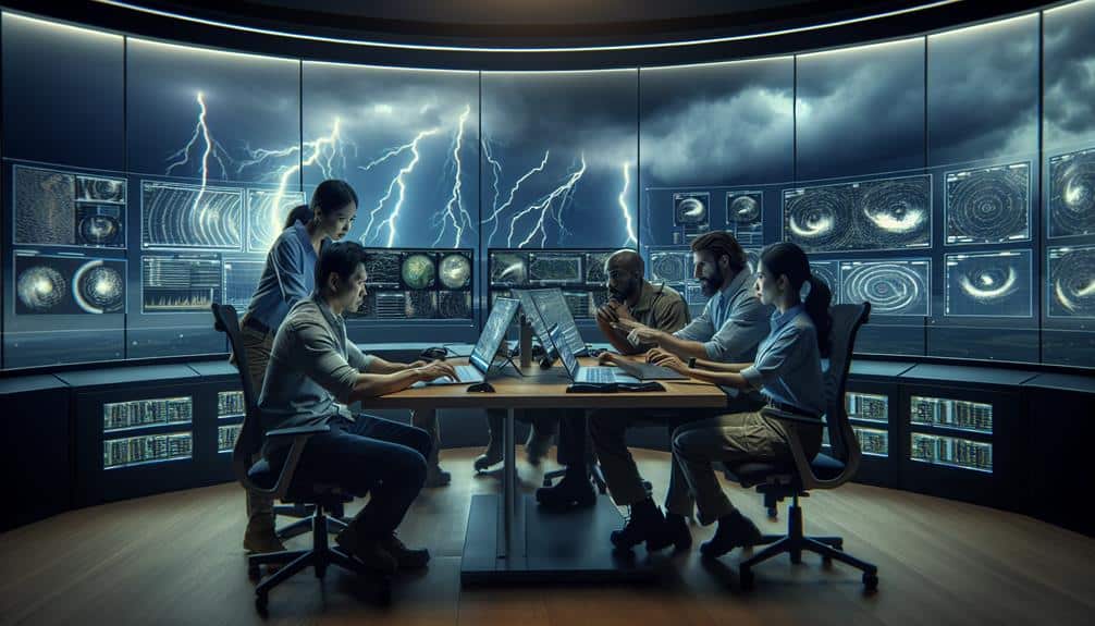
Collaboration among storm chasers and meteorological agencies is vital for maximizing the utility of Doppler radar data. By engaging in data collaboration and information sharing, we enhance our collective ability to analyze, predict, and respond to severe weather events. This cooperative approach guarantees that essential data reaches those who need it most, fostering a more integrated and responsive storm-chasing community.
Consider the following benefits of effective collaboration:
- Improved Accuracy: Pooling data from multiple sources enhances the precision of storm models.
- Real-Time Updates: Continuous information sharing enables timely updates, pivotal for making informed decisions.
When we prioritize network cooperation and research partnerships, we create a robust system that leverages the strengths of each participant. Researchers gain access to extensive datasets, while storm chasers receive up-to-the-minute insights that can be life-saving. This symbiotic relationship magnifies the impact of Doppler radar technology, transforming raw data into actionable intelligence.
Ultimately, our shared commitment to data collaboration and information sharing empowers us to push the boundaries of meteorological science. Together, we can harness the full potential of Doppler radar, ensuring safer and more efficient storm-chasing endeavors.
Frequently Asked Questions
How Does Doppler Radar Differ From Traditional Weather Radar Systems?
"A bird in the hand is worth two in the bush. Doppler radar's accuracy surpasses traditional systems by measuring velocity, not just position. Its applications include precise storm tracking and predicting severe weather, ensuring we stay informed and prepared."
What Are the Limitations of Using Doppler Radar in Storm Chasing?
We face limitations with Doppler radar in storm chasing due to equipment reliability and data accuracy. The radar's precision can be affected by obstacles, and mechanical failures can compromise our ability to gather real-time, accurate data during storms.
How Do Storm Chasers Interpret Doppler Radar Data on the Field?
We interpret Doppler radar data by conducting real-time analysis of velocity signatures, reflectivity patterns, and storm structures. This data-driven approach allows us to anticipate severe weather, ensuring we're strategically positioned to observe and document the storm's evolution.
Can Doppler Radar Detect Tornadoes Before They Form?
Sometimes, while our Doppler radar technology scans the skies, it coincidentally catches the early signs of tornadoes forming. This innovation enhances tornado prediction and early detection, giving us precious minutes to act and guarantee our freedom and safety.
What Training Is Required to Operate Doppler Radar Equipment?
To operate Doppler radar equipment, we need a basic certification. Then, we can pursue advanced courses for in-depth knowledge. This training guarantees we accurately interpret data, enhancing our capabilities and guaranteeing we're ready for high-stakes situations.