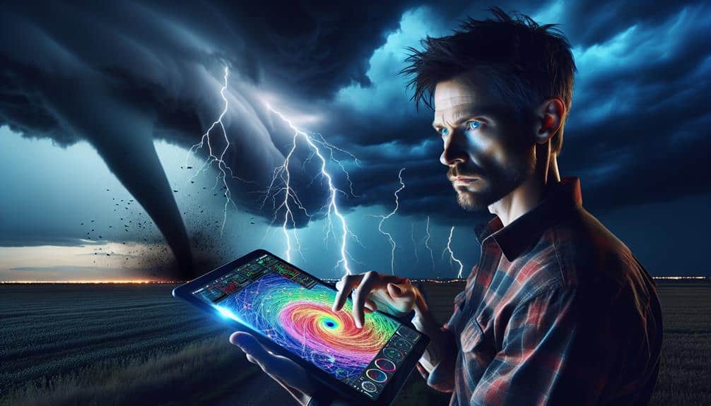
We've identified five proven methods to analyze lightning that enhance our storm prediction capabilities. Lightning Detection Networks use sensors to triangulate strike locations, providing real-time data. Satellite Imagery Analysis captures detailed cloud patterns to track storms. Ground-Based Radar Systems map storm intensity and paths using radio waves. Electrical Field Measurement gauges atmospheric electric potential, predicting storm severity. Finally, Lightning Mapping Arrays offer three-dimensional insights into lightning activity. By leveraging these techniques, we gain precise, timely information critical for accurate storm forecasting. Let's explore each method to understand how it shapes our storm prediction strategies.
Key Points
- Lightning Detection Networks: Utilize sensors to detect electromagnetic pulses and triangulate data to pinpoint exact lightning strike locations, aiding storm tracking and monitoring.
- Satellite Imagery Analysis: Capture high-detail images of weather systems to identify cloud patterns and predict storm paths and intensities.
- Ground-Based Radar Systems: Provide real-time data on precipitation intensity and storm structure, mapping out storm intensity and paths using advanced radar technology.
- Electrical Field Measurement: Quantify atmospheric electric potential difference to understand storm severity and predict storm development with accuracy.
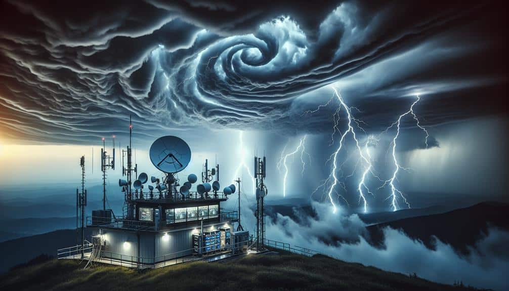
Lightning Detection Networks
Lightning detection networks play an important role in providing real-time data for accurate storm prediction. These networks consist of numerous sensors strategically placed to detect electromagnetic pulses from lightning strikes. By triangulating the data from multiple sensors, we can pinpoint the exact location of each strike. This precise information is invaluable for storm tracking, as it helps us monitor storm development and movement.
When we integrate lightning data with other meteorological data, our weather forecasting becomes more reliable. Real-time lightning detection allows us to identify the intensity and progression of a storm, which is vital for issuing timely warnings and ensuring public safety. The rapid dissemination of this information empowers individuals to make informed decisions, enhancing their sense of freedom and control over their environment.
Furthermore, lightning detection networks aid in identifying severe weather conditions that mightn't be visible through other means. For instance, by analyzing the frequency and distribution of lightning strikes, we can detect potential zones of high turbulence or heavy rainfall. This level of detailed storm tracking provides meteorologists with a full understanding of storm dynamics, improving our overall weather forecasting capabilities and enabling us to better predict and mitigate weather-related risks.
Satellite Imagery Analysis
Satellite imagery provides essential insights into storm structure and development by capturing high-detail images of weather systems from space. By analyzing these images, we can identify cloud patterns that indicate the presence of severe storms. For example, the formation of cumulonimbus clouds often precedes thunderstorms and can be tracked through satellite data.
In weather forecasting, satellite imagery allows us to observe the spatial distribution and movement of clouds in real-time. This enables meteorologists to predict storm paths and intensities with greater precision. By examining cloud top temperatures and shapes, we can infer the storm's potential for producing lightning and other severe weather phenomena.
Moreover, the ability to monitor storms over vast areas provides a thorough view that ground-based systems simply can't match. Satellite data enhances our understanding of atmospheric dynamics, enabling us to detect early signs of storm development. This real-time information is vital for issuing timely warnings and mitigating the impacts of severe weather.
Ground-Based Radar Systems
Ground-based radar systems provide essential real-time data on precipitation intensity, storm structure, and movement, allowing meteorologists to analyze and predict severe weather events with high accuracy. By utilizing advanced radar technology, we gain precise insights into lightning behavior, which is crucial for effective storm prediction.
Radar systems emit radio waves that bounce off precipitation particles, returning data that helps us map out the storm's intensity and path. This real-time information is vital for identifying regions of high lightning activity.
When radar detects intense precipitation and strong updrafts, we can correlate these findings with increased lightning occurrences, giving us valuable clues about the storm's development.
Furthermore, Doppler radar adds another layer of precision by measuring the velocity of precipitation particles. This capability enables us to identify rotation within thunderstorm systems, a key indicator of tornado potential.
Electrical Field Measurement
To complement radar data, we employ electrical field measurements to directly quantify the atmospheric conditions that lead to lightning formation. Electrical field meters, installed on the ground or airborne platforms, help us gauge the electric potential difference in the atmosphere. By doing so, we can evaluate the conditions conducive to lightning behavior, allowing us to predict storm development with greater accuracy.
We measure the ambient electric field strength, which is a vital parameter in understanding the buildup of electrical energy within storm clouds. When the field strength reaches a specific threshold, it indicates a high potential for imminent lightning. This data is essential for evaluating the likelihood and intensity of lightning strikes, which directly correlates with storm severity.
Furthermore, by analyzing changes in the electrical field over time, we can identify patterns and trends in atmospheric conditions. These patterns help us refine our predictive models, increasing the precision of our storm forecasts. Our goal is to empower individuals and communities to better prepare for severe weather, enhancing safety and minimizing disruptions.
Ultimately, electrical field measurements provide an invaluable tool in our arsenal for understanding and predicting lightning behavior, giving us a more thorough view of the atmospheric dynamics at play.
Lightning Mapping Arrays
Lightning Mapping Arrays (LMAs) offer a sophisticated method for tracking and visualizing the spatial and temporal dynamics of lightning activity within storm systems. By deploying a network of sensors strategically across a region, we can capture detailed three-dimensional data of lightning strikes. This high-resolution mapping allows us to observe lightning activity trends with unparalleled accuracy.
Our primary focus is to integrate the data obtained from LMAs into advanced lightning prediction models. These models leverage the precise timing and location information from multiple sensors to predict the development and trajectory of storm systems. By doing so, we can anticipate hazardous weather conditions more effectively, granting us greater flexibility in planning and response.
LMAs are particularly valuable because they provide real-time data. This immediacy is essential for detecting rapid changes in storm intensity and behavior. Additionally, by analyzing lightning activity trends over time, we can refine our lightning prediction models and improve their reliability. The ability to visualize lightning in three dimensions also helps us understand the structure of thunderstorms, aiding meteorologists in making more informed decisions.
Precision, real-time insights, and enhanced predictive capabilities make LMAs indispensable tools in modern storm prediction practices.
Frequently Asked Questions
How Does Climate Change Affect Lightning Frequency and Intensity?
We can't ignore how climate change impacts lightning frequency and intensity. Through frequency analysis, we've observed increased storm activity and stronger lightning events, showing a direct correlation between rising temperatures and atmospheric instability.
What Safety Precautions Should Be Taken During Lightning Storms?
During lightning storms, we should prioritize emergency shelters and avoid outdoor activities. Key precautions include staying indoors, unplugging electronics, and avoiding water. These steps guarantee maximum safety and allow us to maintain our freedom without unnecessary risks.
Can Lightning Be Artificially Induced or Controlled?
We can explore artificial induction and control techniques for lightning, but current technology is limited. While researchers have made progress, achieving reliable control remains challenging. Future advancements may offer better solutions for harnessing this natural phenomenon.
What Is the Role of AI in Storm Prediction?
In storm prediction, AI applications enhance our predictive modeling by analyzing vast data sets, identifying patterns, and generating accurate forecasts. This empowers us to make informed decisions, ensuring safety and maximizing our freedom to navigate weather challenges.
How Do Different Types of Lightning (E.G., Cloud-To-Ground, Intracloud) Influence Storm Development?
Imagine watching lightning illuminate the sky—each flash tells us something. Cloud-to-ground lightning affects storm dynamics by altering surface conditions, while intracloud lightning reveals internal storm structure, influencing storm behavior and intensity.