Exploring Remote Sensing In Hurricane Research: A Compilation
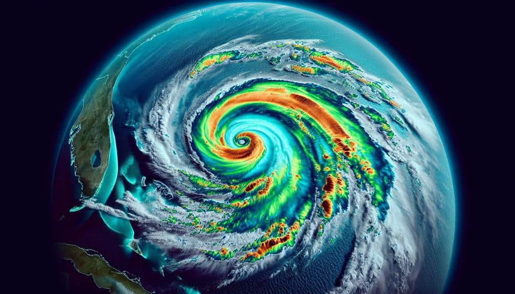
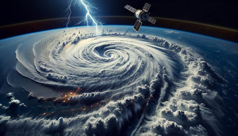
In our compilation of remote sensing methods for hurricane research, we integrate satellite imaging, radar systems, aerial drones, infrared sensing, and LiDAR technology. These tools provide high-resolution data on storm formations, real-time tracking, wind velocities, and precipitation. Drones enhance our insights into storm intensity, while infrared sensing tracks temperature variations and cloud structures. LiDAR offers […]
Exploring Remote Sensing In Hurricane Research: A Compilation Read More »
