In storm chasing contests, we enhance our results using high-definition radar systems for real-time information and GPS for precise navigation. Our team consists of a meteorologist, navigator, driver, and data analyst to maximize effectiveness. We implement thorough safety protocols, including pre-chase planning and continuous communication, to reduce risks. Detailed weather analysis using radar, satellite imagery, and numerical models informs our strategic decisions. Balancing risk assessment with data collection and observing competitor tactics are vital. By following these methods, we improve our storm chasing performance. For an all-encompassing perspective on mastering these contests, there's much more to explore.
Key Points
- Prioritize safety by adhering to pre-chase planning, continuous communication, and real-time hazard assessments.
- Optimize camera settings and regular maintenance to ensure high-quality storm footage.
- Maintain clear communication dynamics with dedicated channels for coordination and safety.
- Use numerical weather prediction models and real-time radar data to make informed navigation decisions.
Equipment Essentials
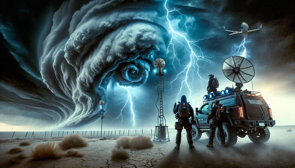
To effectively participate in storm chasing competitions, we need to equip ourselves with high-definition radar systems, GPS devices, and reliable communication tools. High-definition radar systems provide real-time data on storm development, enabling us to track wind patterns and precipitation intensities with precision. GPS devices are essential for navigation, ensuring we can reach the most strategic points safely and efficiently.
Our cameras must be set to ideal settings to capture high-quality images and videos of the storm. Adjusting the ISO, shutter speed, and aperture is vital to deal with varying light conditions and fast-moving subjects. Consistent gear maintenance is necessary to optimize all equipment functions correctly under extreme weather conditions. This includes waterproofing and regular inspections.
Communication devices are essential for coordination and safety. Radios and satellite phones ensure we remain connected, even in remote areas with poor cellular service. Emergency supplies, such as first aid kits, food, water, and blankets, are non-negotiable. These supplies guarantee our well-being if we find ourselves in prolonged or hazardous situations.
Team Roles
Effective storm chasing requires clearly defined team roles to maximize safety, efficiency, and data collection. Our team typically includes a meteorologist, a navigator, a driver, and a data analyst. Each role is important for our mission success. The meteorologist interprets complex weather data, enabling real-time adjustments based on storm development.
The navigator ensures we're on the best path, utilizing GPS and mapping tools to avoid hazards while staying in prime observation zones. Communication dynamics are essential. We use dedicated radio channels and hand signals to maintain constant, clear communication. This minimizes misunderstandings and enhances our collective situational awareness.
For instance, the navigator and meteorologist must sync their data interpretations and route suggestions seamlessly with the driver's actions. Our decision making processes are streamlined. We employ a hierarchical model where the meteorologist and navigator provide data-driven recommendations, but the driver makes final route decisions, ensuring rapid responses to changing conditions.
Real-time data analysis by the analyst feeds into this loop, offering important insights on storm intensity, trajectory, and potential risks. In this structured yet flexible setup, each member's expertise and quick thinking contribute to our autonomy, allowing us to execute complex maneuvers and make split-second decisions while chasing storms.
Safety Protocols
Our safety protocols hinge on rigorous pre-chase planning, real-time hazard assessments, and continuous communication to mitigate risks and guarantee team protection. We start with thorough risk assessment, analyzing historical storm data, geographical constraints, and current weather patterns. This preparedness ensures we identify potential hazards and formulate emergency procedures well in advance.
Before heading out, we conduct a detailed briefing covering all aspects of the chase, from route plans to emergency protocols. This includes real-time communication channels via satellite phones and radio systems to guarantee constant contact. Continuous updates allow us to adapt our strategy based on evolving conditions, thereby reducing exposure to unforeseen dangers.
During the chase, our real-time hazard assessments involve monitoring radar data, storm movement, and local conditions. Each team member has specific roles, ensuring that no critical data point is overlooked. For instance, one member might focus solely on radar interpretation, while another handles navigation and communication.
Emergency procedures are a cornerstone of our safety protocols. We maintain a predefined set of actions for various scenarios, such as encountering tornadoes or flash floods. This level of preparedness and our dedication to continuous communication are crucial for maintaining safety, allowing us to chase storms while minimizing risks.
Weather Analysis
Analyzing weather patterns involves scrutinizing current meteorological data, satellite imagery, and predictive models to understand storm dynamics and forecast their trajectories. We start with radar interpretation, which provides real-time data about precipitation intensity, storm structure, and movement. Combining this with high-resolution satellite imagery, we can visualize cloud formations, upper-level moisture, and thermal anomalies.
Next, we focus on wind patterns and pressure systems. By examining wind speed and direction at various altitudes, we identify zones of convergence and divergence that indicate potential storm development. Low-pressure systems are particularly critical, as they often act as catalysts for severe weather. We monitor these systems using surface and upper-air maps to track their evolution.
Analyzing the vertical profile of the atmosphere through sounding data helps us understand temperature, humidity, and wind changes with altitude. This data is pivotal for predicting thunderstorm initiation and severity.
Using numerical weather prediction models, we can simulate future atmospheric conditions. These models incorporate vast datasets, offering a probabilistic forecast of storm paths and intensity. By mastering these analytical tools, we gain the freedom to make informed, strategic decisions in the dynamic environment of storm chasing competitions.
Competition Strategies

With a solid grasp of weather patterns, we can now develop competition strategies that maximize our chances of intercepting the most intense storms.
First, our navigation tactics must be precise and data-driven. Utilizing real-time GPS and meteorological data, we can optimize our routes to stay ahead of storm cells. Effective communication plans are critical; using encrypted channels ensures our strategies remain confidential and minimizes the risk of interference from competitors.
Next, risk assessment is crucial. Evaluating the storm's intensity, speed, and path allows us to make informed decisions that balance capturing data with personal safety. We should employ radar analysis and mobile weather stations to continuously monitor changing conditions.
Competitor interactions can be both a challenge and an opportunity. By observing other teams' movements, we gain insights into their strategies, which can inform our own positioning. However, it's important to avoid crowded areas where multiple teams converge, as this increases the risk of accidents and reduces the chances of capturing unique footage.
Frequently Asked Questions
How Do I Join a Storm Chasing Competition for the First Time?
First, let's research reputable competitions. We should prioritize safety precautions by ensuring our gear is high-quality. Team dynamics are essential; let's assemble a skilled, cohesive unit. Register early, follow entry guidelines, and prepare for an exhilarating experience.
What Are the Best Resources for Real-Time Weather Updates?
Because relying on intuition always works out, let's ignore storm tracking apps and weather radars. Seriously, we need accurate tools for real-time updates. Prioritize emergency preparedness, safety tips, and data-driven apps to stay informed and safe.
How Can I Network With Experienced Storm Chasers?
We can network with experienced storm chasers by attending networking events and workshops. Additionally, engaging in online forums and webinars offers valuable opportunities to connect and exchange data-driven insights, enhancing our analytical approach to storm chasing.
Are There Any Legal Considerations for Storm Chasing?
For storm chasing, we must consider legal regulations and insurance requirements. Laws vary by location, so we should research local restrictions. Additionally, acquiring proper insurance guarantees we're covered for any potential damages or liabilities.
What Should I Pack for a Multi-Day Storm Chasing Trip?
For a multi-day storm chasing trip, we should pack essential gear like weather radios, GPS units, and emergency kits. Our packing checklist must include durable clothing, food supplies, and portable chargers to guarantee we're always prepared.


