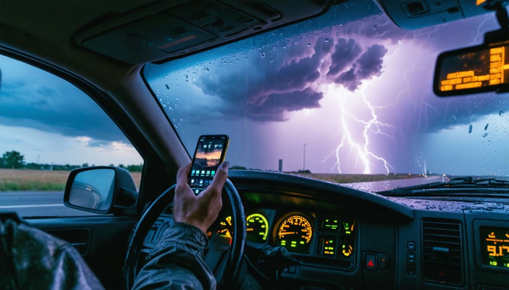
For storm chasing, you need GPS units built to survive the same conditions you’re tracking. The Garmin Montana 700i, Garmin Overlander, and Garmin Tread XL Overland lead the field with IP67 waterproofing, MIL-STD-810 durability ratings, and dual-band GPS/GLONASS support. You’ll also want real-time weather integration, satellite communication, and radar software like GRLevel3 to fill navigation blind spots. The right system could be the difference between a successful intercept and a dangerous situation — and there’s much more to unpack.
Key Takeaways
- Garmin dominates storm chasing GPS with IP67 waterproofing and MIL-STD-810 ratings, outperforming competitors like Magellan in harsh weather conditions.
- The Garmin Montana 700i offers dual-band GPS and InReach satellite communication, ensuring connectivity when cellular networks fail during severe storms.
- Real-time weather integration overlays live radar and storm data onto navigation displays, enabling informed routing decisions during rapidly changing conditions.
- The Garmin Tread XL Overland features a large 10.1-inch display and professional-grade durability, making it ideal for storm chasing operations.
- Budget considerations range from entry-level Magellan units to professional Garmin models, with trade-offs in screen size, satellite communication, and weather resistance.
What IP67, MIL-STD-810, and Dual-Band GPS Mean for Storm Chasing
When choosing a GPS for storm chasing, three technical specifications stand out as critical: IP67 waterproofing, MIL-STD-810 durability, and dual-band GPS support.
An IP67 rating means your device withstands dust and temporary water submersion — essential when rain and debris batter your vehicle.
IP67 waterproofing isn’t a luxury — it’s your first defense when the storm fights back.
MIL-STD-810 certification guarantees your unit survives extreme drops, vibration, and temperature swings common in severe weather environments. That rugged design isn’t optional; it’s your operational lifeline.
Dual-band GPS leverages multiple satellite frequencies simultaneously, dramatically improving navigation accuracy in signal-degraded conditions.
Storm chasing puts you in rapidly changing terrain where single-band systems lose lock. Dual-band GPS keeps your position precise when you’re pushing deep into a storm’s path and need reliable, real-time routing without hesitation or error.
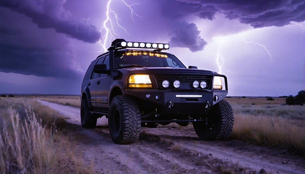
Must-Have GPS Features for Storm Chasing Vehicles
When you’re chasing storms, your GPS must withstand punishment—rain, hail, and extreme temperature swings demand rugged, waterproof construction rated to IP67 or MIL-STD-810 standards.
You’ll also need real-time weather integration, allowing you to overlay live radar and storm data directly onto your navigation display for split-second routing decisions.
Finally, satellite communication capabilities, like Garmin’s InReach technology, keep you connected when cellular networks fail in remote or storm-impacted areas.
Rugged Waterproof Construction
Since storm chasing exposes your equipment to extreme weather conditions, your GPS unit must feature rugged, waterproof construction to survive the field.
You’re operating in hail, heavy rain, and high winds, so compromising on build quality isn’t an option.
Look for devices built with rugged materials that meet military-grade standards, such as MIL-STD-810 ratings for drop resistance and shock protection.
Waterproof standards like IP67 certification guarantee your unit withstands water immersion without failure.
The Garmin Tread XL Overland delivers both, combining an IP67 rating with MIL-STD-810 drop protection.
The Garmin Overlander and Montana 700i also feature rugged, waterproof designs engineered for demanding off-road environments.
These aren’t consumer-grade devices — they’re purpose-built tools that keep functioning when conditions deteriorate fast.
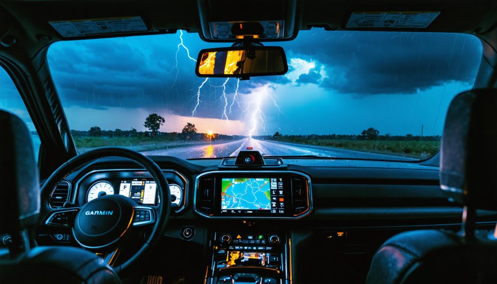
Real-Time Weather Integration
Rugged hardware keeps your GPS alive in the field, but survivability alone won’t help you intercept a storm — you need real-time weather data feeding directly into your navigation workflow.
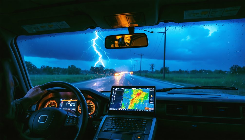
Tools like GRLevel3 Radar Software let you stack weather overlays directly onto your navigation screen, combining radar returns, storm reports, and warning polygons into a single actionable display.
You’re not toggling between apps — you’re reading terrain and storm structure simultaneously. Real time alerts flag severe weather events as they’re issued, keeping your intercept decisions sharp and current.
Pair GRLevel3 with a PC tablet mounted in your chase vehicle, and you’ve built a mobile command interface that rivals fixed operations centers.
That kind of integration separates successful intercepts from dangerous positioning mistakes.
Satellite Communication Capabilities
Cellular networks fail exactly when you need them most — deep in rural terrain, under storm-suppressed atmospheres, or in areas where infrastructure has already taken damage.
That’s why satellite connectivity isn’t optional for serious storm chasers — it’s essential. The Garmin Tread XL Overland and Garmin Montana 700i both integrate InReach satellite communication, giving you two-way messaging and SOS capability independent of cell towers.
The Tread XL Baja Edition extends this further with team tracking across multiple vehicles, keeping your entire crew coordinated across vast, unpredictable terrain.
With dedicated emergency communication built directly into your navigation system, you’re not relying on a separate device when conditions deteriorate fast. You maintain positional awareness, team contact, and rescue capability — all from one integrated unit mounted in your vehicle.
Best Dedicated Off-Road GPS Units for Storm Chasers
When storm chasing takes you off paved roads and into rough terrain, three dedicated GPS units stand out for their durability and performance: the Garmin Overlander, Garmin Montana 700i, and Garmin Tread XL Overland.
Each delivers critical off-road enhancements and navigation accuracy you’ll need when conditions deteriorate fast:
- Garmin Overlander: Rugged, waterproof construction with preloaded topographic maps and Bluetooth/Wi-Fi connectivity for real-time updates.
- Garmin Montana 700i: Dual-band GPS/GLONASS support combined with InReach satellite communication, keeping you connected in the most remote locations.
- Garmin Tread XL Overland: A 10.1-inch display featuring built-in compass, altimeter, barometer, and pitch/roll gauges alongside IP67 and MIL-STD-810 ratings.
These units won’t fail when unpaved roads, extreme weather, and split-second decisions define your chase.
Garmin vs. Magellan for Storm Chasing
When choosing between Garmin and Magellan for storm chasing, you’ll need to weigh each brand’s durability and weather resistance against your operational demands.
Garmin’s Overlander and Tread XL Overland carry IP67 ratings and MIL-STD-810 drop ratings, making them better suited for the punishing conditions storm chasers routinely encounter.
Magellan’s TRX7 CS PRO competes on navigation features with its dual-band GPS and GLONASS support, but it doesn’t match Garmin’s rugged weatherproofing standards.
Durability And Weather Resistance
Durability separates reliable storm chasing equipment from gear that fails when conditions turn severe.
When you’re pursuing violent weather, your GPS must withstand rain, hail, extreme temperatures, and constant vibration. Garmin’s rugged design and weatherproof materials give it a decisive edge over Magellan in harsh environments.
Key durability distinctions include:
- Garmin Overlander features a fully waterproof, weatherproof materials construction engineered explicitly for severe off-road and storm environments.
- Garmin Tread XL Overland carries an IP67 rating and MIL-STD-810 drop certification, ensuring it survives impacts and water exposure.
- Magellan TRX7 CS PRO lacks comparable military-grade ratings, making it less reliable when conditions deteriorate rapidly.
You can’t afford equipment failure mid-chase.
Garmin’s rugged design consistently outperforms Magellan when atmospheric conditions become genuinely dangerous.
Storm chasing demands navigation tools that deliver real-time accuracy across unpaved terrain, rapidly shifting access roads, and remote corridors where cell signals vanish.
Garmin’s dual-band GPS and GLONASS support, featured across the Montana 700i and Tread XL Overland, gives you superior navigation accuracy in signal-degraded environments.
Magellan’s TRX7 CS PRO matches dual-band performance but limits its preloaded coverage to the US and Canada, restricting route optimization flexibility beyond those boundaries.
Garmin’s InReach satellite communication adds a critical edge, keeping you connected where no network exists.
Both platforms offer preloaded topographic and off-road maps, but Garmin’s deeper ecosystem—built-in compass, altimeter, barometer, and pitch-and-roll gauges—gives you far greater situational awareness when you’re pushing into volatile, rapidly evolving storm environments.
Satellite Communication Features That Could Save Your Life
In the unforgiving terrain where storm chasers operate, satellite communication can mean the difference between life and death. When cellular networks fail during violent weather events, you’ll need reliable emergency protocols and communication strategies built directly into your navigation system.
Both the Garmin Tread XL Overland and Montana 700i integrate InReach satellite technology, giving you two-way messaging and SOS capabilities beyond cell coverage.
Key satellite communication advantages include:
- Two-way messaging keeps your team coordinated during rapidly evolving storm scenarios
- SOS activation connects you directly to emergency response centers worldwide
- Remote tracking lets your team monitor your position in real-time
Don’t underestimate these features—they’re mission-critical tools that transform your GPS unit into a lifeline when conditions deteriorate unexpectedly.
How Storm Chasers Use Radar Software to Fill GPS Blind Spots
While satellite communication keeps you connected when networks fail, your GPS unit alone can’t tell you what a storm is actually doing—that’s where radar software like GRLevel3 steps in.
GRLevel3 stacks forecast data, active warnings, and real-time radar integration directly onto one screen, letting you visualize storm movement with precision your GPS simply can’t deliver.
GRLevel3 puts forecast data, live warnings, and radar on one screen—storm visualization your GPS can’t match.
You’re overlaying multiple weather layers simultaneously—rotation signatures, hail cores, precipitation intensity—while your navigation system handles terrain and routing. That combination drives true GPS optimization, closing the gap between where you’re going and what the storm’s doing.
Running GRLevel3 on a compatible PC tablet mounted in your vehicle keeps critical data within eyeline, so you’re making split-second routing decisions based on actual atmospheric behavior, not guesswork.
Why InReach Satellite Messaging Changes Storm Chasing Safety
When cell networks go down in severe weather—and they will—InReach satellite messaging keeps you communicating from anywhere on the planet.
The InReach benefits extend beyond basic contact; you’re transmitting GPS coordinates, SOS alerts, and two-way messages through Iridium’s satellite network regardless of terrain or storm intensity. That’s real storm safety without infrastructure dependency.
Both the Garmin Tread XL Overland and Tread XL Baja Edition integrate InReach directly into their navigation platforms, eliminating the need for separate devices.
Key InReach benefits for storm chasers include:
- Two-way satellite messaging when cellular coverage collapses inside supercell environments
- SOS activation that connects you directly to emergency response coordinators
- Live GPS tracking so your team always knows your exact position
Storm Chasing GPS Units by Budget: Entry-Level to Professional
Satellite communication capability matters, but it’s only one factor when selecting a storm chasing GPS unit—your budget shapes the rest of your decision.
For budget considerations, entry level options like the Magellan TRX7 CS PRO deliver HD touchscreen displays and dual-band GPS without premium pricing.
Mid-range choices such as the Garmin Overlander add rugged waterproofing and topographic maps suitable for demanding field conditions.
Professional recommendations center on the Garmin Tread XL Overland, which combines a 10.1-inch display, IP67 waterproofing, built-in barometer, and InReach satellite messaging—tools serious chasers depend on.
Feature comparisons across these tiers reveal clear trade-offs: screen size, satellite communication, and weather-resistance increase alongside cost.
Match your operational requirements and financial range to the unit that gives you maximum capability without unnecessary compromise.
Frequently Asked Questions
Can Storm Chasing GPS Units Integrate With Weather Apps on Smartphones?
Yes, many storm chasing GPS units support smartphone compatibility through Bluetooth and Wi-Fi. You can leverage weather app integration to sync real-time storm data, enhancing your situational awareness and giving you complete navigational freedom in the field.
How Often Should Storm Chasers Update Their GPS Maps and Software?
To stay ahead of nature’s fury, you should refresh your map update frequency quarterly and pursue GPS software upgrades annually—ensuring your Garmin or Magellan unit’s topographic data and routing algorithms remain operationally sharp for dynamic storm chasing conditions.
Do Storm Chasing GPS Devices Work Reliably During Heavy Rain Interference?
Yes, your GPS devices handle rain interference well. Models like the Garmin Tread XL’s IP67 rating guarantee GPS reliability in heavy downpours. You’ll maintain accurate positioning since satellite signals penetrate precipitation without significant degradation.
Want seamless coordination on the chase? You can absolutely share real-time tracking with your team simultaneously. Garmin’s InReach technology, featured in the Tread XL and Montana 700i, enables live location sharing across multiple chasers instantly.
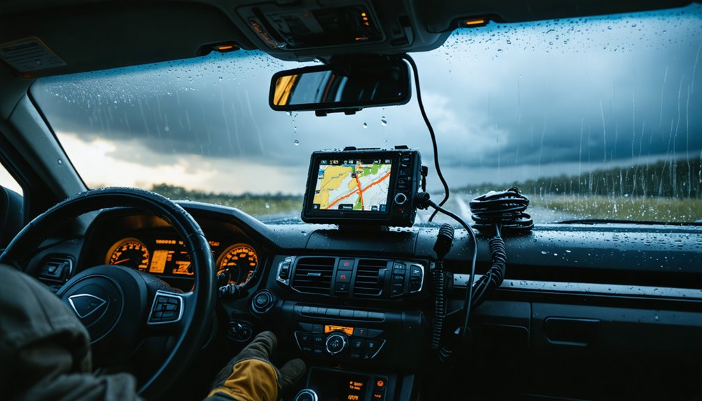
What Mounting Solutions Work Best for GPS Units in Storm Vehicles?
You’ll want mounting brackets or suction cups for quick repositioning, dash mounts for stability during high-speed pursuits, and tablet holders for larger units like the Garmin Tread XL, ensuring your GPS stays secure through turbulent conditions.
References
- https://www.motortrend.com/features/best-gps-units-for-off-roading-navigation
- https://stormtrack.org/threads/equipment-for-the-newbie.32134/
- https://www.thegpsstore.com/GPS-Units/Automotive-GPS/Off-Road-GPS
- https://www.youtube.com/watch?v=W1JOhZv6dQo