We've pinpointed prime spots across the U.S. for intercepting severe thunderstorms, using data-driven insights. Tornado Alley offers clear visibility and ample storm-chasing opportunities, with advanced meteorological tools ensuring accurate predictions. In Dixie Alley, dense populations necessitate real-time data analysis and enhanced safety measures. The Great Plains provide ideal conditions and vast open roads for safe storm tracking. Central Oklahoma's varied topography requires reliance on high-definition radar and ground-based sensors; Eastern Colorado's unique terrain impacts storm formation, influenced by its high elevation and semi-arid climate. Dive further to decode the interplay of geography and technology in these storm hotspots.
Key Points
- Tornado Alley in the Great Plains offers clear visibility and flat terrain ideal for storm chasing and photography.
- Dixie Alley in the southeastern US requires advanced models and real-time data due to its high population density.
- Central Oklahoma's varied topography necessitates high-definition radar and ground-based sensors for effective storm tracking.
- Eastern Colorado's high elevation and unique terrain provide vantage points for observing supercell formations.
Tornado Alley, USA
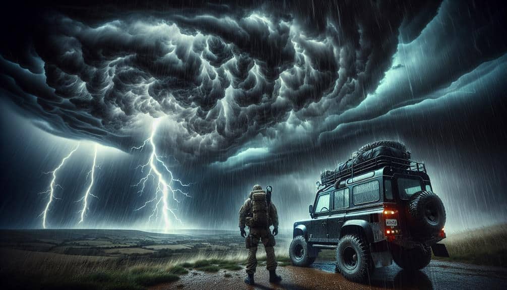
Tornado Alley, USA, encompasses a region where atmospheric conditions frequently align to produce severe thunderstorms and tornadoes. Our primary interest here is the unique opportunities and challenges this region presents for storm chasing. With the right data and preparation, we can intercept these powerful systems safely. Key safety precautions include maintaining a safe distance, having a reliable communication system, and constantly monitoring weather updates.
When a tornado watch is issued, it's vital for us to understand that conditions are favorable for tornadoes. This is our cue to be on high alert and ready to enact emergency response protocols. Utilizing advanced meteorological tools such as Doppler radar and GPS tracking, we can predict storm paths with increasing accuracy, allowing us to position ourselves strategically without compromising safety.
The data shows that peak tornado activity in Tornado Alley occurs from late spring to early summer. Our analytical approach involves correlating this temporal data with specific atmospheric conditions such as wind shear, humidity, and temperature gradients. By doing so, we maximize our chances of successful storm intercepts while minimizing risk. Ultimately, this approach provides a balance between the thrill of storm chasing and the imperative of safety.
Dixie Alley, USA
Dixie Alley, situated in the southeastern United States, presents a unique set of meteorological challenges due to its higher population density and complex terrain, requiring us to employ advanced predictive models and real-time data analysis for effective storm interception.
The region's extreme weather is driven by intricate climate patterns, including the interplay of warm, moist air from the Gulf of Mexico and cooler air masses from the north. This combination often results in severe thunderstorms and tornadoes, making Dixie Alley a prime location for storm chasing.
To navigate these challenges, we analyze data from Doppler radar, satellite imagery, and ground-based weather stations. Predictive models are essential for anticipating storm paths and intensities, allowing us to plan our intercepts with precision.
Given the densely populated areas, safety precautions are vital. We maintain constant communication with local authorities and adhere to strict protocols to secure both our safety and that of the public.
Our analytical approach allows us to capture valuable data on storm dynamics, contributing to broader meteorological research. The freedom to chase storms in Dixie Alley comes with the responsibility to prioritize safety and accuracy, ensuring our efforts enhance understanding of extreme weather phenomena.
The Great Plains
How do we effectively intercept severe thunderstorms in the Great Plains, given its vast open landscapes and frequent extreme weather events? To tackle this, we rely on precise weather patterns analysis and real-time forecasting.
The Great Plains, often called Tornado Alley, offers a unique environment for storm chasing due to its flat terrain and clear visibility, which are ideal for both pursuit and photography.
We start by analyzing synoptic-scale weather patterns to identify high-risk areas. Utilizing advanced meteorological tools, such as Doppler radar and satellite imagery, we pinpoint thunderstorms' likely development zones. Real-time data feeds from weather stations provide us with updates on atmospheric conditions, including humidity, temperature, and wind shear.
Our forecasting models incorporate this data to predict storm paths with remarkable accuracy. As we move in, GPS technology aids in traversing the vast, open roads of the Plains, ensuring we remain close yet safe.
The lack of urban obstructions allows us to capture high-quality photographs, documenting the storm's lifecycle from initiation to dissipation.
Central Oklahoma
Central Oklahoma presents unique challenges for intercepting severe thunderstorms due to its varied topography and densely populated areas. The region's mix of urban environments and open plains requires us to employ careful storm chasing and safety precautions.
Central Oklahoma's terrain, ranging from flatlands to rolling hills, can obscure sightlines, making visual tracking of storm systems more complex.
To navigate these challenges effectively, we rely heavily on advanced weather monitoring tools. High-definition radar and satellite imagery provide crucial real-time data that allows us to predict storm paths with greater precision. Additionally, using ground-based sensors helps us track storm development and intensity, offering a thorough view of the atmospheric conditions.
Effective communication strategies are paramount in this densely populated area. We use a combination of mobile data networks and two-way radios to maintain constant contact with fellow chasers and emergency services. This guarantees that we can relay timely information about storm movements and potential hazards, facilitating swift response and public safety measures.
Central Oklahoma demands a high level of technical expertise and situational awareness. By integrating advanced weather monitoring systems and strong communication strategies, we can safely intercept severe thunderstorms while minimizing risks to ourselves and the public.
Eastern Colorado
Eastern Colorado's severe thunderstorms present distinct challenges due to the area's high elevation and semi-arid climate, which influence storm formation and behavior. Our storm chasing experiences in this region have revealed fascinating insights into weather patterns and topography.
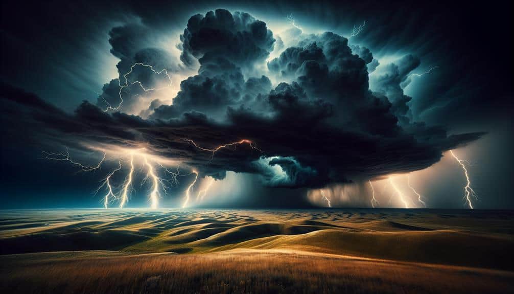
Mountain Outlooks: The Front Range of the Rockies provides elevated vantage points that are critical for observing storm development. These outlooks offer a strategic advantage for tracking storm cells as they move across the plains.
Topography: The unique terrain of Eastern Colorado contributes to the formation of supercells. The interaction between the mountains and the plains creates conditions ripe for severe weather, with frequent occurrences of large hail and tornadoes.
Weather Patterns: The semi-arid climate results in lower humidity, which can impact storm intensity and longevity. However, the dryline that often forms in this area acts as a trigger for severe thunderstorms, leading to explosive storm development.
Data Analysis: Historical data indicates that the peak storm season in Eastern Colorado spans from late May to early July. This period aligns with increased solar heating and moisture influx from the Gulf of Mexico, enhancing storm potential.
Frequently Asked Questions
How Can I Safely Observe Severe Thunderstorms?
To safely observe severe thunderstorms, we should prioritize safety precautions and choose the best viewing locations. Analyzing weather data and using reinforced structures or vehicles guarantees we remain protected while experiencing the storm's intensity firsthand.
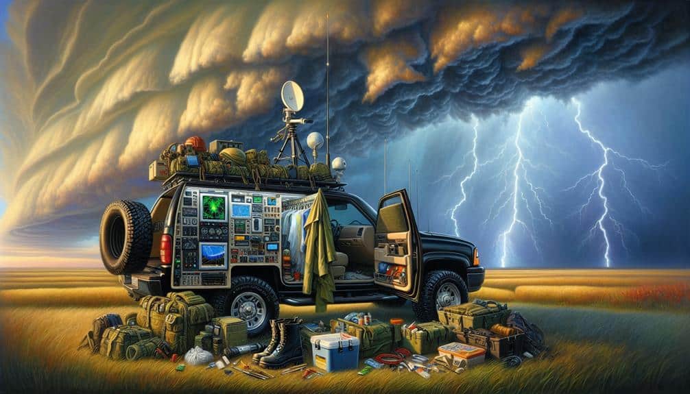
What Equipment Is Essential for Storm Chasing?
Remember Dorothy's tornado? For effective storm chasing, we need storm chasing gadgets, safety measures, essential gear, and refined observation techniques. Key items include a reliable vehicle, GPS, weather radar, and communication devices to guarantee safety and data accuracy.
When Is the Best Time of Year for Storm Chasing?
The finest time for storm chasing is spring, specifically April to June. During this period, weather patterns in the prime locations, like Tornado Alley, exhibit excellent conditions for severe thunderstorms, maximizing our chances for successful intercepts.
What Are the Risks Involved in Storm Chasing?
While storm chasing, we enjoy the thrill but always prioritize safety precautions. Effective risk management mitigates dangers, but ethical concerns arise with proximity to severe weather. Our data-driven approach guarantees we balance the excitement with responsible practices.
Are There Any Storm Chasing Tours Available?
Yes, there are storm chasing tours available. They offer a thrilling chasing experience, often led by meteorologists who analyze real-time weather conditions to guarantee safety while maximizing our chances of encountering severe weather phenomena.