To effectively evaluate storm chasing risks, we analyze meteorological data and utilize reliable forecast tools like Doppler radar and satellite imagery. Assessing storm severity entails monitoring wind speeds and atmospheric pressure changes. We must evaluate terrain to plan safe routes, steering clear of dangers and ensuring unobstructed visibility. In-depth emergency plans with clear communication protocols, GPS tracking, and shelter identification are vital. We choose appropriate safety gear and consistently monitor real-time updates to adjust to changing storm conditions. Each of these steps is crucial for maintaining both safety and operational efficiency in storm chasing environments; continue for more details on these practices.
Key Points
- Monitor real-time weather data, including radar and satellite imagery, for accurate storm tracking and intensity assessment.
- Evaluate terrain and road networks to plan safe and efficient routes, avoiding potential hazards and obstructions.
- Analyze historical storm data to understand regional patterns and anticipate potential storm trajectories and severity.
- Develop a comprehensive emergency plan with multiple evacuation routes and real-time communication protocols.
Understand Weather Patterns
To effectively assess the risks of storm chasing, we must first analyze meteorological data to understand weather patterns. Accurate weather prediction is essential for us to navigate the volatile conditions associated with storms. By leveraging historical and real-time data, we can identify trends and anomalies in atmospheric behavior. This allows for precise forecasting, which greatly enhances weather prediction accuracy.
Our approach involves utilizing advanced storm tracking technology, such as Doppler radar and satellite imaging, to monitor storm development and movement. These tools provide high-resolution data that helps us determine storm intensity, path, and potential impact areas. By interpreting this data, we can anticipate changes in weather patterns and make informed decisions about when and where to chase.
Moreover, incorporating numerical weather models and ensemble forecasting techniques enables us to simulate various scenarios and assess the likelihood of different outcomes. This multi-faceted analysis reduces uncertainties and increases our confidence in the predictions we rely on.
As storm chasers, understanding these intricate weather patterns empowers us to maximize our freedom while minimizing risks. By staying informed and prepared, we can pursue our passion for storm chasing with greater safety and precision.
Use Reliable Forecast Tools
We must prioritize using trusted meteorological sources and real-time weather data to enhance our storm chasing risk assessment. High-resolution radar, satellite imagery, and advanced forecasting models provide critical insights.
Accurate data from these tools allows us to make informed decisions and mitigate potential hazards.
Trusted Meteorological Sources
Accurate storm chasing relies on using reliable meteorological sources like the National Weather Service, radar data, and satellite imagery. These tools are crucial for storm prediction and verifying data accuracy. We must consistently consult meteorological experts who provide invaluable insights into severe weather patterns. Utilizing advanced weather tracking platforms, we can access real-time information and detailed storm forecasts.
When evaluating storm prediction models, examining ensemble forecasts that combine multiple models to present a range of possible scenarios is crucial. This approach enhances data accuracy and helps us anticipate severe weather events more effectively. Additionally, Doppler radar technology offers high-resolution data on storm structure, rotation, and precipitation intensity, vital for making informed decisions during storm chases.
Moreover, satellite imagery provides a macro-level view of atmospheric conditions, allowing us to track storm systems' development and movement over large regions. By integrating data from these various sources, we can form a thorough understanding of the weather dynamics at play. This synthesis of information empowers us to make well-informed, timely decisions, ensuring safety and maximizing the success of our storm-chasing endeavors.
Real-Time Weather Data
Leveraging real-time weather data through reliable forecast tools is essential for making precise and informed decisions during storm chases. Accurate weather monitoring allows us to track storm development with pinpoint precision.
By utilizing advanced forecasting models such as the High-Resolution Rapid Refresh (HRRR) and the Global Forecast System (GFS), we can predict storm paths and potential severity with a high degree of accuracy.
Effective data analysis is the backbone of our storm chasing strategy. Real-time radar data, satellite imagery, and surface observations are vital for understanding current weather conditions. We can access Doppler radar outputs and dual-polarization radar to detect precipitation type, rotation, and storm intensity.
Additionally, integrating data from Automated Surface Observing Systems (ASOS) and Remote Automated Weather Stations (RAWS) enhances our situational awareness.
It's essential that we use mobile apps and software like RadarScope and GRLevel3 for on-the-go data acquisition. These tools provide instantaneous updates, which are indispensable for making split-second decisions.
Analyze Terrain and Routes

Identifying best storm chasing routes requires a detailed analysis of terrain features, road networks, and potential obstacles. Effective route selection hinges on our ability to navigate diverse landscapes while maintaining the best possible proximity to the storm's path. Terrain analysis is essential to anticipate changes in elevation, vegetation density, and water bodies that could impede our progress or pose safety hazards.
We need to take into account several key factors for route selection:
- Topographic Variations: Elevation changes can impact storm visibility and vehicle maneuverability. High ridges might offer vantage points but can also obstruct escape routes.
- Road Network Density: A higher concentration of roads provides more options for quick navigation and detours. Sparse road networks limit our flexibility and may trap us in hazardous conditions.
- Obstructions and Hazards: Identifying potential obstacles, such as rivers, forests, and urban areas, allows us to plan alternate routes to avoid getting stranded.
Evaluate Storm Severity
We'll begin evaluating storm severity by analyzing weather patterns, which involves interpreting synoptic charts and atmospheric data.
Next, we'll monitor radar data to track storm cells and intensity in real-time.
Analyze Weather Patterns
To accurately evaluate storm severity, we must analyze a variety of weather patterns, including wind speed, precipitation rates, and atmospheric pressure changes. Utilizing precise weather tracking tools, we can gather real-time data essential for storm prediction. By examining these variables, we can better anticipate the storm's potential impact and make informed decisions.
1. Wind Speed:
We need to measure wind speeds at various altitudes using anemometers and Doppler LiDAR. High wind speeds can indicate severe storms, including tornadoes.
2. Precipitation Rates:
Analyzing rainfall intensity and hail size through rain gauges and weather radar helps us gauge the storm's severity and potential for flooding.
3. Atmospheric Pressure Changes:
Barometric pressure readings provide insights into storm systems' development. Rapid drops in pressure often signal the approach of intense weather.
Monitor Radar Data
Leveraging radar data allows us to meticulously track storm cells, analyze their movement, and evaluate their potential severity in real-time. By integrating radar interpretation with storm tracking, we gain a detailed understanding of storm dynamics.
High-resolution radar imagery offers insights into precipitation intensity, storm structure, and rotational signatures. This data is essential for making informed decisions on the ground.
Doppler analysis provides significant velocity data, revealing wind patterns within the storm. By examining the Doppler radar's velocity couplets, we can predict the likelihood of tornado formation, enhancing our storm prediction capabilities. This real-time data is vital for evaluating the immediate threat level and adjusting our chase strategy accordingly.
We utilize dual-polarization radar to distinguish between different types of precipitation, such as rain, hail, or mixed-phase particles. This differentiation is important for evaluating storm severity, as certain precipitation types can indicate the potential for severe weather phenomena. Our radar interpretation skills allow us to pinpoint areas of concern quickly and accurately.
Assess Historical Data
Building on our real-time radar analysis, we must incorporate past storm data to better evaluate the potential severity of upcoming weather events. By leveraging historical analysis, we identify patterns in storm frequency and intensity, providing a thorough foundation for data interpretation and risk assessment.
Firstly, we need to gather extensive historical storm data from reliable sources. This includes:
- National Weather Service archives: Access past storm reports, severity ratings, and path trajectories.
- Local climatology databases: Analyze regional storm patterns and seasonal variations.
- Global storm databases: Consider large-scale weather phenomena influencing local storm behavior.
Secondly, we should utilize advanced data interpretation techniques to dissect this historical information. Tools like statistical modeling and machine learning algorithms can reveal correlations between past storm occurrences and current atmospheric conditions. Identifying these risk factors aids in predicting the likelihood and potential impact of future storms.
Lastly, we must continuously update our historical datasets and refine our analysis methods. Weather patterns evolve, and maintaining an adaptive approach ensures our risk assessments remain precise.
Prepare Emergency Plans

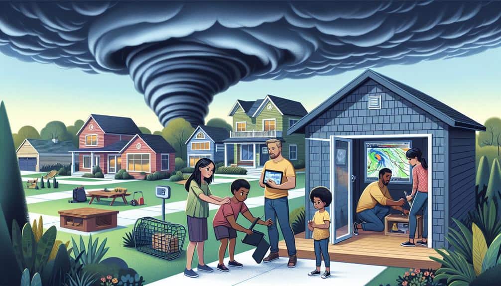
Developing comprehensive emergency plans is vital for minimizing risks during storm chasing operations. We must establish strong communication protocols to guarantee every team member remains informed and connected. Leveraging GPS tracking and real-time data sharing can improve situational awareness and facilitate rapid decision-making. In the event of a family emergency, pre-defined roles and responsibilities enable us to respond promptly without compromising the mission.
Evacuation procedures should be carefully crafted and rehearsed. Designate multiple evacuation routes, considering varying storm trajectories and potential obstacles. It's essential to continuously monitor meteorological data to adjust our plans dynamically. Each team should be well-versed in the locations of nearby shelters, ensuring we've immediate access to safe havens if conditions deteriorate unexpectedly.
Identifying and mapping out shelter locations in advance is a non-negotiable aspect of our strategy. Utilize geospatial analysis to determine their proximity and accessibility under different scenarios.
Our dedication to these emergency plans not only safeguards our team but ensures we can pursue the thrill of storm chasing with confidence and precision. By emphasizing these strategies, we optimize our operational efficiency while mitigating inherent risks associated with storm chasing.
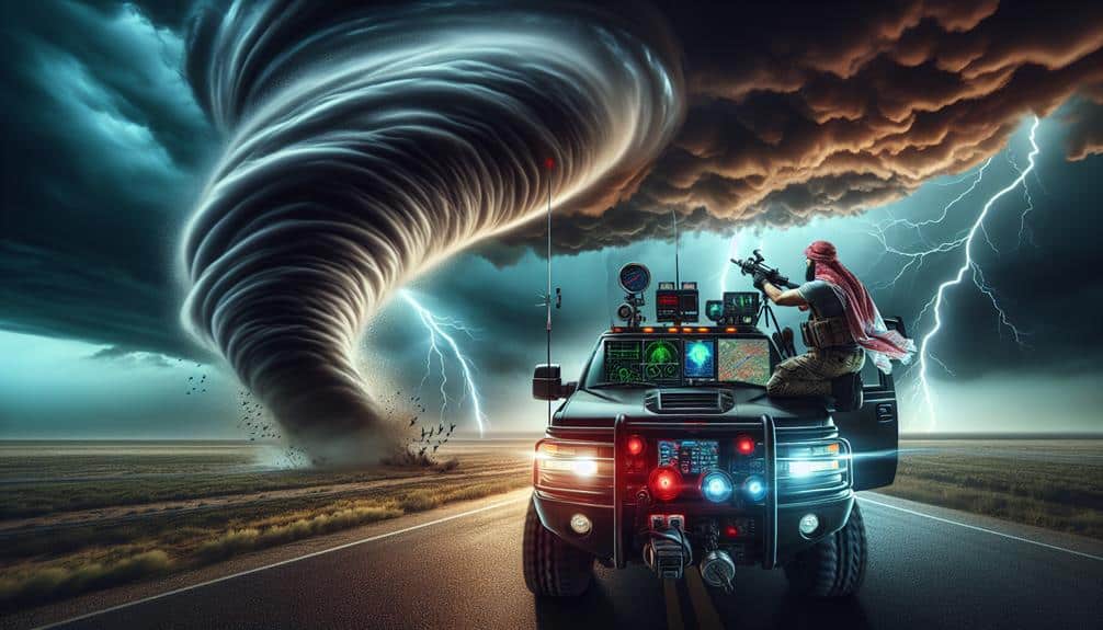
Equip Proper Safety Gear
Equipping ourselves with the proper safety gear is vital for minimizing potential injuries and enhancing our operational effectiveness during storm chasing missions. To maximize our safety, we must carefully consider gear selection based on the specific risks associated with severe weather events. Adhering to strict safety precautions can greatly reduce the probability of harm.
Proper gear selection for storm chasing should focus on three key areas:
- Personal Protective Equipment (PPE): Helmets, safety goggles, and high-visibility clothing are essential for protecting against flying debris and maintaining visibility in low-light conditions. These items form the first line of defense in risk mitigation.
- Communication Devices: Reliable two-way radios, GPS units, and mobile phones are indispensable for maintaining contact with team members and emergency response units. These devices enable us to quickly coordinate actions and respond effectively to evolving threats.
- Vehicle Safety Enhancements: Reinforced windshields, first-aid kits, and emergency supplies like water, non-perishable food, and blankets should be standard. These measures ensure we're prepared for extended periods in hazardous conditions.
Monitor Real-Time Updates

We must continuously monitor real-time updates from meteorological sources to make informed decisions during storm chasing operations. Leveraging advanced weather tracking systems, we access radar data, satellite imagery, and real-time storm reports. These data points are essential for our risk evaluation, allowing us to identify severe weather patterns and potential hazards accurately.
Our communication strategies hinge on disseminating this real-time information effectively. We utilize mobile apps, NOAA weather radios, and direct communication with meteorologists to stay updated. It's crucial to integrate these updates into our operational planning dynamically. Safety precautions aren't just about physical gear but also about staying ahead of the storm's path.
By analyzing wind shear, humidity levels, and atmospheric pressure, we can anticipate storm development and adjust our routes accordingly. Furthermore, we must coordinate with local emergency services to align our actions with broader safety protocols. This dual approach—sophisticated weather tracking and robust communication—ensures that we minimize risks and maximize our freedom to chase safely.
Essentially, real-time updates empower us to make split-second, data-driven decisions, balancing the thrill of the chase with the utmost regard for safety.
Frequently Asked Questions
What Qualifications Are Needed to Become a Professional Storm Chaser?
To become professional storm chasers, we need certification requirements like meteorology degrees and completion of specific training programs in weather observation, forecasting, and safety protocols. These qualifications guarantee we can pursue our passion with the necessary expertise.
How Do You Finance a Storm Chasing Expedition?
To finance a storm chasing expedition, we explore diverse funding sources and meticulous budgeting. We secure sponsorship opportunities and utilize crowdfunding platforms, ensuring precise financial planning. This approach maximizes our operational freedom and resource allocation efficiency.
What Are the Legal Considerations for Storm Chasing in Different States?
Did you know 20% of storm chasers face legal issues? We must navigate state regulations and liability concerns carefully. Each state has unique laws, so let's research thoroughly to guarantee our freedom and safety during expeditions.
How Do You Handle Interactions With Local Law Enforcement While Storm Chasing?
When handling interactions with local law enforcement, we follow emergency protocols and employ effective communication strategies. We guarantee our equipment and documentation are in order, and we clearly explain our purpose and safety measures.
What Are the Ethical Guidelines for Storm Chasing Near Populated Areas?
When storm chasing near populated areas, we prioritize community safety by maintaining safe distances. We evaluate environmental impact meticulously, ensuring minimal disruption. Data-driven strategies guide us, balancing our pursuit of freedom with ethical responsibility.