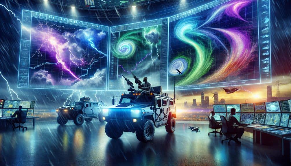
We've identified the top 7 storm tracking tools for storm chasers, leveraging cutting-edge technology and data-driven methodologies. RadarScope provides real-time, high-resolution radar data, while StormTracker offers minute-by-minute updates and predictive path modeling. GRLevel3 stands out for its detailed, reliable radar imagery. Weather Underground delivers hyper-local forecasts and critical insights for emergency planning. Windy shines with high-resolution wind maps and ECMWF data integration. MyRadar excels with advanced detection techniques and GPS integration for precise navigation. To conclude, StormSpy's machine learning algorithms anticipate storm patterns with impressive accuracy. These tools ensure we're prepared for any erratic weather situation. Discover further insights ahead.
Key Points
- RadarScope provides real-time, high-resolution radar data for storm tracking.
- StormTracker offers minute-by-minute updates, predictive path modeling, and storm cell identification.
- GRLevel3 delivers accurate, detailed radar imagery for severe weather tracking.
- Weather Underground provides hyper-local forecasts and customizable alerts for storm developments.
RadarScope
RadarScope, a highly specialized weather radar application, provides storm chasers with real-time, high-resolution radar data essential for tracking severe weather events. Leveraging radar technology advancements, we can access detailed reflectivity, velocity, and dual-polarization data, allowing us to pinpoint the exact location and intensity of a storm. This precision is pivotal for executing effective storm spotting techniques, ensuring we're in the right place at the right time.
When we talk about storm chaser safety, RadarScope plays an integral role. By providing timely and accurate radar updates, we can make informed decisions about when to approach or retreat from hazardous weather conditions. The app's capacity to display multiple radar products simultaneously helps us identify rotation, hail cores, and other severe weather features.
Data interpretation techniques are another key aspect where RadarScope excels. It allows us to analyze radar signatures and patterns, translating raw data into actionable insights. This kind of data-driven approach empowers us to predict storm behavior, enhancing both our safety and our ability to gather valuable meteorological data.
Essentially, RadarScope is a crucial tool in our storm-chasing arsenal, marrying advanced radar technology with practical storm tracking and safety protocols.
StormTracker
Let's examine StormTracker, which provides real-time weather updates essential for storm chasers. It integrates advanced tracking features like live radar feeds and predictive modeling to enhance situational awareness.
Utilizing high-resolution data, we can monitor storm movements with pinpoint accuracy.
Real-Time Weather Updates
StormTracker provides real-time weather updates by delivering high-resolution radar data and advanced storm tracking capabilities to storm chasers. By utilizing this tool, we gain immediate access to essential information such as precipitation intensity, storm cell movement, and potential severe weather development. This allows us to make informed decisions and implement necessary storm chasing tips, ensuring our safety.
With real-time updates, we can effectively navigate around severe weather systems and avoid hazardous conditions. This is vital for both our safety precautions and the success of our storm chasing expeditions.
High-resolution radar data helps us pinpoint the exact location of storm cells, which is invaluable when positioning ourselves for best storm photography and capturing lightning.
The ability to receive minute-by-minute updates means we're always aware of changes in weather patterns, allowing us to adjust our course accordingly. This level of data-driven precision enhances our ability to chase storms safely while maximizing our chances of documenting the most electrifying atmospheric phenomena.
Real-time weather updates from StormTracker empower us to experience the thrill of storm chasing with a heightened sense of security and the freedom to capture nature's raw power through our lenses.
Advanced Tracking Features
In addition to real-time weather updates, StormTracker offers advanced tracking features such as storm cell identification, velocity detection, and predictive path modeling to enhance our storm chasing capabilities. Utilizing satellite imagery analysis, we can accurately monitor storm development and movement, providing us with a thorough view of impending weather systems. This analytical approach guarantees we stay ahead of the storm, optimizing our chase routes and safety.
One of the key features that sets StormTracker apart is its storm movement prediction algorithm. By integrating data from multiple meteorological sources, we can forecast the trajectory of storm cells with remarkable precision. This predictive capability is invaluable for making timely decisions during our chases.
Lightning detection is another essential tool within StormTracker's arsenal. By pinpointing lightning strikes, we can assess storm severity more effectively, allowing us to prioritize high-risk areas. The real-time data on lightning activity helps us gauge the intensity and potential hazards of the storm.
Furthermore, velocity detection techniques provide insight into wind speeds and direction. Coupled with storm severity assessment metrics, we can form a detailed picture of the storm's current state and projected evolution, ensuring we're always prepared for the unexpected.
GRLevel3
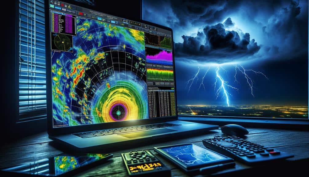
GRLevel3, a high-resolution radar analysis tool, provides storm chasers with real-time data essential for tracking severe weather events. Utilizing this advanced software, we can access detailed radar imagery that enhances our situational awareness and decision-making capabilities. Within the storm chaser community, GRLevel3 is prized for its accuracy and reliability, making it a critical component of our chase vehicle equipment.
The software's ability to deliver precise reflectivity, velocity, and dual-polarization data empowers us to pinpoint storm cells and potential tornado formations. This data is invaluable not only for our storm photography but also for emergency preparedness. With GRLevel3, we can anticipate storm trajectories and communicate timely warnings to affected areas, thereby mitigating risks and enhancing public safety.
GRLevel3's user-friendly interface allows us to overlay multiple radar products, which helps in dissecting storm structures and identifying key features like hook echoes and hail cores. The tool's customization options enable us to tailor the radar displays according to our specific needs, optimizing our tracking strategies.
In essence, GRLevel3 is more than just a radar tool; it's an indispensable asset that provides us with the freedom to chase storms effectively and safely.
Weather Underground
Weather Underground equips us with detailed weather information that enhances our ability to monitor storm developments in real-time. By leveraging advanced radar imagery, satellite data, and predictive models, we can fine-tune our storm chasing strategies to optimize our routes and timing. The platform's robust analytics help us identify emerging weather patterns, enabling precise adjustments to our chase plans.
The real-time data offered by Weather Underground is vital for storm chaser safety. With its hyper-local forecasts and customizable alerts, we receive timely notifications about severe weather conditions, allowing us to make informed decisions quickly. This guarantees that we can avoid hazardous situations and stay safe while pursuing our passion.
Moreover, Weather Underground provides invaluable insights for emergency response planning. Its detailed weather reports and historical data allow us to predict potential storm impacts and coordinate with local authorities. This proactive approach helps us assist communities in preparing for and responding to severe weather events more effectively.
In essence, Weather Underground is a powerful tool that elevates our storm chasing experiences. By providing thorough weather data and advanced forecasting capabilities, it empowers us to chase storms safely and efficiently while contributing to community preparedness and response efforts.
Windy

Windy offers us a complete suite of meteorological tools, featuring high-resolution wind maps, radar imagery, and detailed weather models that are vital for accurate storm tracking. The platform leverages data from the European Centre for Medium-Range Weather Forecasts (ECMWF), providing us with reliable and timely information. This enables us to develop effective Windy storm chasing strategies, enhancing both our predictive accuracy and situational awareness.
Using Windy's high-resolution wind maps, we can pinpoint the most volatile areas, optimizing our routes and ensuring we capture the most compelling storm photography. For those of us keen on storm spotting tips, Windy's radar imagery is invaluable. It allows us to visualize precipitation intensity, track storm cells, and anticipate severe weather events.
Adhering to Windy safety precautions is essential. The detailed weather models help us avoid hazardous zones, keeping us safe while we gather data. Additionally, Windy's interface allows us to overlay various meteorological parameters, such as humidity and pressure, which aids in making informed decisions.
MyRadar
Similarly indispensable for our storm tracking toolkit is MyRadar, a powerful app providing real-time weather radar and advanced storm tracking features. With its high-resolution radar and precise storm detection techniques, MyRadar is essential for our storm chasing strategies. The app utilizes the latest technology advancements to display animated weather patterns, making it easier to predict storm movements with remarkable accuracy.
One key feature of MyRadar is its ability to overlay various data layers, including temperature, precipitation, and wind patterns. This multi-layered approach allows us to analyze complex weather systems and make informed decisions on the fly. We can track storms in real-time, ensuring we stay ahead of severe weather events and optimize our chase routes effectively.
MyRadar also shines in its user-friendly interface and customization options. We can set up alerts for specific weather conditions, ensuring we're notified of critical changes in weather patterns instantly. The app's integration with GPS technology further enhances our mobility, allowing us to navigate safely and efficiently through storm-affected areas.
StormSpy
StormSpy enhances our storm chasing experience by offering advanced storm detection algorithms and real-time data analytics. Leveraging machine learning, StormSpy enables us to anticipate storm patterns with remarkable precision. This tool integrates data from multiple meteorological sources, providing a detailed view of atmospheric conditions.
StormSpy excels in delivering timely storm alerts, which are essential for both storm chasers and emergency response teams. The system's predictive capabilities guarantee that we're not only tracking storms but also staying ahead of their paths. This proactive approach is crucial for minimizing risks and maximizing the efficiency of our operations.
The data visualization features in StormSpy are particularly remarkable. The platform offers interactive maps that display storm patterns, allowing us to identify potential hotspots quickly. The detailed graphical representations simplify complex data, making it easier for us to make informed decisions on the fly.
Moreover, StormSpy's user-friendly interface ensures that we can access important information without any delays. The real-time data analytics keep us updated with the latest developments, ensuring that we're always prepared for any sudden changes in weather conditions. With StormSpy, we gain the freedom to chase storms more efficiently and safely.
Frequently Asked Questions
What Safety Gear Is Essential for Storm Chasers?
We need essential gear like helmets, reinforced gloves, and sturdy boots for safety. Emergency preparedness includes first aid kits, GPS devices, and communication tools. This gear guarantees we can navigate and respond to storm hazards effectively.
How Can I Join a Storm Chasing Community or Network?
Diving into the storm chasing world is a breeze. We recommend joining forums and networking with seasoned chasers. Finding groups and attending events can enhance our skills and data-sharing experiences, fueling our passion for storm tracking.
Are There Any Mobile Apps for Real-Time Storm Alerts?
Yes, there are Storm Chaser Mobile Apps that provide real-time alerts. Apps like RadarScope and Storm Shield offer precise data, ensuring we get timely warnings to stay ahead of severe weather and make informed decisions while chasing.
What Training or Certifications Should a Storm Chaser Have?
We should prioritize field experience and meteorology training. Developing emergency response and communication skills is vital. Certifications in meteorology, first aid, and emergency management enhance our capabilities, ensuring we stay safe and effective in unpredictable situations.
How Do I Interpret Different Storm Tracking Data Sources?
Let's explore how we interpret different storm tracking data sources. We analyze data by identifying key weather patterns, using models and algorithms. Accurate data analysis grants us the freedom to predict and respond to storms effectively.