10 Best Methods For Predicting Hurricane Paths Accurately

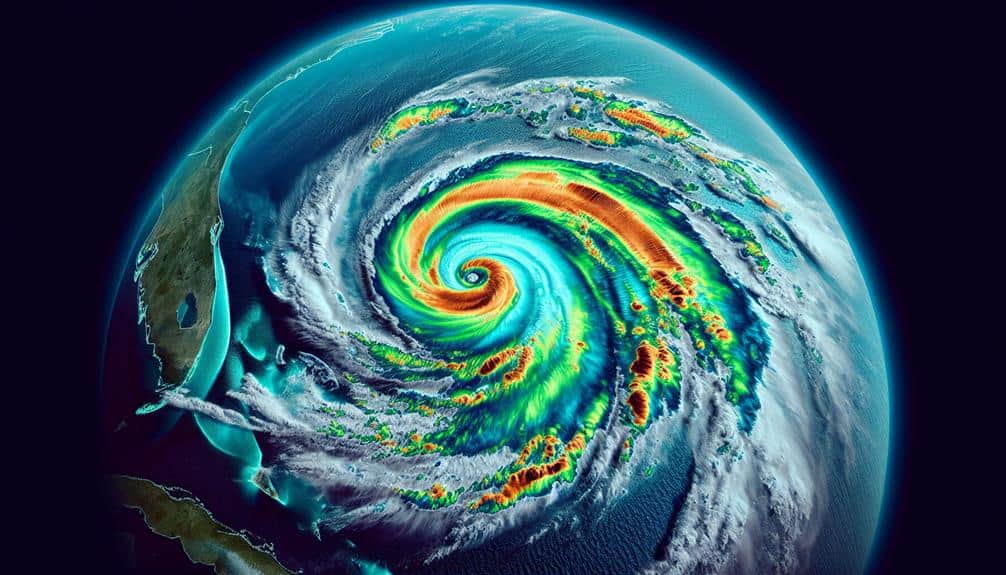
We depend on various data-driven methods to predict hurricane paths accurately. Advanced satellite imagery provides real-time views of cloud formations and sea surface changes, while computer models simulate atmospheric dynamics. Doppler radar offers precise wind and precipitation data, and aircraft reconnaissance collects critical atmospheric metrics. Ocean buoys supply continuous sea surface and atmospheric condition updates. […]
10 Best Methods For Predicting Hurricane Paths Accurately Read More »