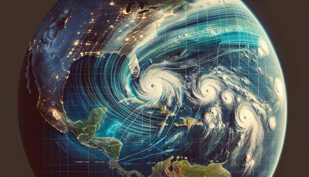
Storm Tracking Hub

Stay updated with real-time storm tracking, forecasts, and safety tips. Your go-to hub for accurate storm information and preparedness.

Storm Chaser's Guide to Mobile Tracking Apps

tracking storms with technology

As storm chasers, we depend on mobile tracking apps like RadarScope, Storm Shield, and MyRadar to navigate extreme weather safely. RadarScope delivers high-definition radar data, while Storm Shield's intuitive interface and efficient data usage make it a strong contender. MyRadar excels with animated weather maps and low battery consumption. These apps provide real-time weather updates, […]

Storm Chaser's Guide to Mobile Tracking Apps Read More »

Storm Chasers Guide: Tracking Storms in Rough Terrain

navigating storms in wilderness

Tracking storms in rugged terrain requires sturdy, well-maintained gear and mastery of advanced weather tools. We rely on high-definition satellite imagery and Doppler radar for accurate storm data, while topographic maps and GPS systems guide us across challenging landscapes. Steep inclines, dense vegetation, and water crossings test our navigation skills, making traditional map and compass

Storm Chasers Guide: Tracking Storms in Rough Terrain Read More »

5 Simple Storm Tracking Tips for Beginners

tracking storms with ease

Let's start by monitoring trustworthy weather updates from sources like the National Weather Service to get live data. Using reliable radar apps like RadarScope provides accurate storm cell visualizations. Understanding storm patterns through meteorological data helps in precise predictions. Learning basic meteorology, such as atmospheric variables and weather models, equips us to interpret storm information

5 Simple Storm Tracking Tips for Beginners Read More »

Tracking Storm Trajectories: Methods for Monitoring Directions

monitoring storm trajectories accurately

We use advanced technologies to track storm trajectories and their directions precisely. Satellite imagery provides high-resolution, real-time data on storm development and movement. Doppler radar complements this by measuring precipitation intensity and storm motion, including velocity and rotation within systems. GPS tracking pinpoints exact storm coordinates, enhancing forecasting accuracy. Portable mobile weather stations equipped with

Tracking Storm Trajectories: Methods for Monitoring Directions Read More »

10 Best Tools for Tracking Storm Trajectories Efficiently

tracking storms with precision

We prioritize using advanced tools like Doppler radar systems and weather satellites to track storm trajectories with high efficiency. Mobile weather apps and high-resolution models provide real-time updates. Storm-tracking software offers enhanced predictive accuracy, while drones and weather balloons gather vital atmospheric data. Lightning detection networks and social media alerts keep us informed about the

10 Best Tools for Tracking Storm Trajectories Efficiently Read More »

What Advice Do Storm Chasing Experts Have for Tracking Storms?

expert advice on storm chasing

We rely on Doppler radar to measure storm intensity, track wind speeds, and differentiate precipitation types. Satellite imagery offers a thorough view of storm systems and identifies key cloud formations. Advanced weather models analyze variables like temperature and atmospheric pressure for precise predictions. Real-time analysis of radar data and satellite imagery guarantees accurate tracking. Mobile

What Advice Do Storm Chasing Experts Have for Tracking Storms? Read More »

5 Best Tools for Tracking Storm Paths Using Satellite Imagery

storm path tracking tools

We can effectively track storm paths using advanced satellite imagery tools. NOAA Weather Radar uses Doppler technology to provide a dynamic, real-time view of weather patterns. GOES Satellite Imagery offers high-resolution, continuous monitoring of cloud formations and temperature gradients. Windy.com enhances this data with an interactive platform for visualizing wind speeds and precipitation in real-time.

5 Best Tools for Tracking Storm Paths Using Satellite Imagery Read More »

Navigating Storm Chasing: Best Apps for Tracking Storms

storm chasing app recommendations

Exploring storm chasing demands precise tools, and we've identified some top apps for the job. RadarScope and Storm Shield guarantee exceptional forecast reliability, while MyRadar provides real-time tracking with precise coverage. Weather Underground excels with robust analytics and crowd-sourced reports. These apps leverage advanced radar technology and meteorological data, offering hyper-localized forecasts and emergency notifications.

Navigating Storm Chasing: Best Apps for Tracking Storms Read More »

Forecasting Storm Paths With Past Data: a Guide

predicting storm movements effectively

We employ historical storm data to analyze recurring behaviors and anomalies, essential for accurate storm path forecasting. By integrating data from satellites, weather stations, ocean buoys, and reconnaissance aircraft, we construct robust models. These models use predictive algorithms, linear regression, and neural networks to simulate potential storm trajectories. Accuracy comes from rigorous evaluation methods like

Forecasting Storm Paths With Past Data: a Guide Read More »

Top Tips for Storm Chasers Tracking Hurricanes

hurricane chasing expert advice

We utilize advanced weather models and ensemble forecasting to integrate real-time data, enhancing our hurricane tracking capabilities. High-definition radar imagery from dependable tools gives us detailed views of storm structures and precipitation patterns. By analyzing satellite images, we monitor hurricane development and intricate weather patterns. Understanding storm patterns through historical data and real-time metrics is

Top Tips for Storm Chasers Tracking Hurricanes Read More »

Scroll to Top