We track hailstorms with state-of-the-art tools like Doppler radar, anemometers, and high-resolution cameras to collect precise data on storm dynamics. Analyzing this data sharpens our understanding of hailstorm frequency, intensity, and climate interactions, enhancing predictive models. Satellite imagery and ground-based radar systems provide real-time insights, while mobile units capture on-the-ground observations of hail size and wind speed. These efforts help refine early warning systems and inform policy decisions. Our research isn't just about tracking storms—it's essential for developing strategies to mitigate climate change impacts. Discover how ongoing advancements reshape climate research methodologies.
Key Points
- Storm chasers use Doppler radar and anemometers to collect real-time hailstorm data.
- High-resolution cameras and drones capture detailed visual and thermal data of hailstones and storm structures.
- Satellite imagery and ground-based radar systems track hailstorm progression and characteristics.
- Mobile units gather on-the-ground observational data, enhancing real-time analysis and forecasting.
Importance of Hailstorm Data
Accurately tracking hailstorm data is crucial for comprehending their frequency, intensity, and impact on climate patterns. By diligently gathering and analyzing this data, we enhance our climate modeling capabilities, which in turn allows us to make more precise predictions about future weather events. This data collection isn't just about numbers; it's about deepening our scientific understanding of how hailstorms interact with broader climatic systems.
Each data point contributes to a larger dataset that researchers can use to identify trends and anomalies. When we aggregate this information, we can assess the research impact on both a micro and macro scale. For instance, localized data helps refine regional climate models, while aggregated data is pivotal in global climate assessments.
The freedom that comes with these insights is invaluable. With precise, reliable data, policymakers can make informed decisions that not only mitigate damage but also allocate resources more efficiently. Additionally, individuals can take proactive measures to protect their properties and lives. Essentially, the rigorous data collection and scientific understanding of hailstorms empower us all to navigate the complexities of our changing climate with greater confidence and autonomy.
Equipment Used by Storm Chasers
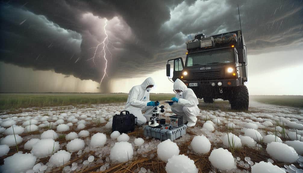
Storm chasers depend on a sophisticated array of equipment, including Doppler radar, anemometers, and high-resolution cameras, to gather precise and actionable data on hailstorms. Our Doppler radar systems provide real-time velocity data, allowing us to track storm movements and intensities accurately.
Anemometers deliver wind speed readings essential for understanding hailstorm dynamics. High-resolution cameras capture visual data, necessary for analyzing hailstone size and storm structure.
We also utilize advanced drone technology to collect aerial data that isn't accessible from the ground. Equipped with thermal imaging sensors, these drones identify temperature variations within storm clouds, offering insights into hail formation processes.
Additionally, weather balloons are launched to measure atmospheric pressure, humidity, and temperature at various altitudes, providing vertical profiles that are vital for predicting storm behavior.
Lightning detection systems are integral to our toolkit, giving us the ability to monitor electrical activity within storms. This data helps correlate lightning patterns with hail production.
Combining these technologies, we generate detailed datasets that enhance our understanding of hailstorms. Each piece of equipment plays a pivotal role in our pursuit of accurate, data-driven climate research, ensuring we can freely and effectively study these powerful natural phenomena.
Methods for Tracking Hailstorms
We'll examine the primary methods for tracking hailstorms, focusing on satellite imagery analysis, ground-based radar systems, and mobile data collection.
Satellite imagery allows us to assess storm development and movement on a large scale.
Ground-based radar provides high-resolution data on hailstorm intensity and structure.
Mobile data collection offers real-time observations from storm chasers directly in the field.
Satellite Imagery Analysis
How do we utilize satellite imagery to meticulously track and analyze the formation and progression of hailstorms? By leveraging advanced satellite technology, we can monitor weather patterns and detect the atmospheric conditions conducive to hailstorm formation. High-resolution satellite imagery allows us to observe cloud structures, temperature variations, and moisture levels with remarkable precision. This data is essential for understanding how climate change influences the frequency and intensity of hailstorms.
We employ data analysis techniques to interpret satellite images, identifying the specific markers that precede hailstorm development. For example, we analyze cloud top temperatures and the presence of supercell thunderstorms, which are often indicators of severe hail. By correlating these markers with historical weather data, we can predict hailstorm trajectories and potential impact zones.
Furthermore, satellite technology enables us to track hailstorms in real-time, providing vital information on their progression. This real-time data is pivotal for issuing timely warnings and minimizing damage. Satellite-based measurements of hailstorm characteristics, such as hailstone size and distribution, are integral to refining our predictive models. By continuously refining our data analysis methods, we enhance our ability to forecast hailstorms in the context of evolving climate dynamics.
Ground-Based Radar Systems
Ground-based radar systems offer unmatched precision in detecting and tracking hailstorm events, providing vital data on storm structure and hail characteristics. These systems use advanced remote sensing technologies to analyze precipitation patterns, storm intensity, and hail size distribution. By emitting radio waves and measuring their reflection off precipitation particles, radars can generate detailed images of storm systems in real-time.
We rely on Doppler radar, a key component in weather monitoring, to measure the velocity and direction of hail-bearing winds within a storm. This capability allows us to identify areas of intense updrafts where hail formation is most probable.
Dual-polarization radar further enhances our understanding by distinguishing between different types of precipitation, such as rain, sleet, and hail, based on their shape and orientation.
Integrating data from multiple radar stations enables us to construct thorough three-dimensional models of hailstorms. These models are essential for predicting storm development, evaluating potential damage, and issuing timely warnings.
Ground-based radar systems, with their high-resolution data and precise terminologies, empower us to dissect the complexities of hailstorms, thereby enhancing our ability to protect communities and refine climate research methodologies.
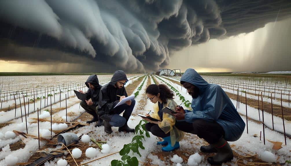
Mobile Data Collection
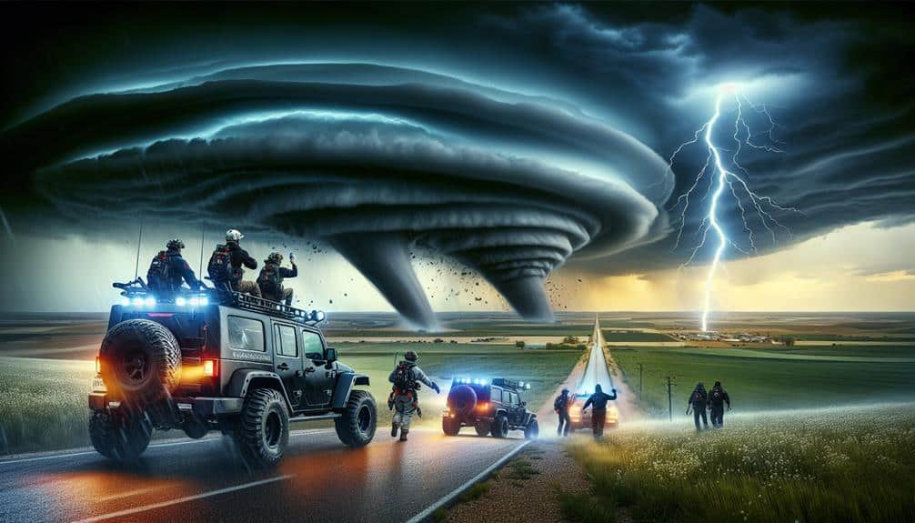
Mobile data collection plays an important role in capturing high-resolution, on-the-ground observations of hailstorms, complementing stationary radar systems. By equipping storm chaser vehicles with advanced meteorological instruments, we can gather vital data such as hail size, wind speed, and atmospheric pressure in real time. This real-time monitoring allows us to track storm evolution dynamically, providing a detailed view that stationary systems can't achieve alone.
Equipped with GPS and wireless communication tools, our mobile units send data back to central servers instantly. This enables seamless data integration and immediate data visualization. By visualizing this data, we can identify patterns and make predictive models more accurate. We utilize Doppler radar, anemometers, and high-resolution cameras to make sure our data is both precise and thorough.
Our mobile data collection strategy empowers us to respond swiftly to changing storm conditions, making sure that we capture the most relevant data as the storm progresses. This flexibility is important for studying rapidly evolving weather phenomena like hailstorms. By combining mobile data with stationary radar inputs, we create a more complete and dynamic picture of storm behavior, ultimately enhancing our understanding and predictive capabilities.
Challenges in Hailstorm Research
Despite advancements in meteorological technology, accurately predicting the formation and path of hailstorms remains a significant challenge due to their highly localized and transient nature. Our ability to capture and interpret data in real-time is limited by the sporadic and rapid development of these storms. Data interpretation becomes even more complex given the need for high-resolution temporal and spatial data, which often requires extensive research collaboration across multiple institutions.
Moreover, technological advancements in radar and satellite systems have improved our capabilities, but they also come with significant funding limitations. Allocating resources to develop and deploy advanced sensors and mobile observation units is critical, yet often constrained by budgetary restrictions. This financial hurdle restricts our capacity to gather detailed datasets, potentially hindering our understanding of hailstorm dynamics.
Additionally, the integration of new technologies into existing meteorological frameworks necessitates continuous training and adaptation. This process can be cumbersome and time-consuming, further complicating our efforts.
Despite these obstacles, we remain committed to overcoming these challenges through innovative approaches, strategic partnerships, and persistent advocacy for increased funding. By addressing these issues, we aim to enhance our predictive models, thereby providing greater freedom and security for those impacted by hailstorms.
Case Studies of Hailstorm Events
How do specific hailstorm events shed light on the complexities and variabilities of severe weather patterns? By examining these events, we gain valuable insights into the multifaceted nature of thunderstorms and their resultant hail. Our case studies provide a detailed look at how different weather patterns interact, leading to varying degrees of hailstorm intensity and damage.
In our impact evaluations, we meticulously collect data to understand the immediate and long-term consequences of these storms. Here are some key aspects we consider:
- Hailstone Size Distribution: Analyzing the range and frequency of hailstone sizes to correlate with damage severity.
- Temporal Patterns: Identifying the duration and timing of hailstorms to determine peak periods of activity.
- Geographical Variability: Examining how topography and regional climate influence hailstorm formation.
- Economic Impact: Conducting damage analysis to quantify the financial burden on affected areas.
Analyzing Hailstorm Data
To analyze hailstorm data effectively, we utilize advanced meteorological tools and statistical methods to quantify and interpret various storm characteristics. Using radar technology, satellite imagery, and ground-based observations, we gather extensive datasets that detail hailstorm severity, including metrics such as hailstone size, density, and distribution.
We then apply statistical models to identify patterns and correlations within the data. By conducting regression analyses and time-series studies, we can discern climate trends and predict future occurrences. These methods allow us to generate predictive models that enhance our understanding of how hailstorm frequency and intensity may evolve under different climate scenarios.
Data visualization plays a vital role in our analysis. We convert complex datasets into intuitive graphical representations, such as heat maps and time-lapse animations, which offer immediate and insightful research insights. These visual tools enable us to communicate our findings effectively to both the scientific community and the public, empowering stakeholders to make informed decisions.
Through meticulous analysis, we uncover significant correlations between hailstorm events and broader climate trends, providing us with a clearer picture of the atmospheric dynamics at play. By leveraging these insights, we aim to contribute meaningfully to the broader discourse on climate change and storm prediction.
Future Applications in Climate Change

Building on our detailed analysis of hailstorm data, we can now explore how these insights might inform future climate change applications. Our extensive dataset enhances climate modeling, which improves forecasting accuracy for extreme weather events. By integrating hailstorm patterns into predictive models, we can better anticipate the frequency and intensity of future storms.
Accurate models are vital for crafting effective mitigation strategies. Policymakers can leverage this data to develop informed regulations that minimize the economic and societal impacts of hailstorms. Moreover, our research can guide the construction of resilient infrastructure, reducing vulnerability to severe weather.
Here are some potential applications:
- Improved Climate Modeling: Enhanced precision in predicting hailstorm occurrences and intensities.
- Forecasting Accuracy: Better early warning systems, allowing communities to prepare in advance.
- Mitigation Strategies: Development of infrastructure designed to withstand hail damage.
- Policy Implications: Informing legislation to support climate adaptation measures.
Frequently Asked Questions
How Do Storm Chasers Stay Safe During Extreme Weather Conditions?
We implement rigorous safety precautions and follow strict emergency protocols. Our vehicles are equipped with advanced radar and communication systems, enabling real-time data analysis. This approach guarantees we can navigate extreme weather conditions while prioritizing our safety and freedom.
What Qualifications Are Needed to Become a Storm Chaser?
Imagine navigating a hurricane without a map. To become storm chasers, we need educational requirements and experience. Training programs and safety measures guarantee we're prepared. Meteorology degrees and hands-on experience in extreme weather are essential.
How Do Storm Chasers Communicate and Coordinate in the Field?
We use advanced technology like GPS and radar to guarantee precise communication and coordination. Effective team dynamics are essential for safety. Constant updates via radios and smartphones enable real-time data sharing, keeping everyone informed and safe.
What Motivates Individuals to Pursue Storm Chasing as a Career?
We chase storms because our passion fuels an insatiable quest for data. The adrenaline rush symbolizes our drive for discovery, pushing the boundaries of meteorological understanding and granting us the freedom to explore nature's raw power.
Are There Any Notable Documentaries or Films About Storm Chasers?
For film recommendations, notable documentaries include "Tornado Alley" and "Into the Storm." These films capture chasing adventures and extreme conditions, providing precise terminology and data-driven insights. They offer an exhilarating look at our pursuit of freedom in nature's fury.