To become skilled supercell storm chasers, we must integrate meteorological expertise, high-tech gear, and strict safety protocols. Recognizing features like mesocyclones and wall clouds is critical. We employ high-quality cameras and drones for documentation, while GPS devices and topographic maps ensure accurate navigation. Keeping updated with synoptic charts, Doppler radar, and Skew-T diagrams refines our forecasting. Effective communication through two-way radios and storm-chasing apps keeps us informed and safe. Joining storm chasing communities enhances our situational awareness through real-time data exchange and collaborative strategies. Exploring these aspects further will reveal deeper insights into mastering storm chasing techniques.
Key Points
- Master meteorological principles and tools like synoptic charts, Doppler radar, and Skew-T log-P diagrams for accurate storm predictions and tracking.
- Equip yourself with high-quality cameras, drones, GPS devices, and specialized storm-chasing apps for effective documentation and navigation.
- Develop rigorous safety protocols, including risk assessments, evacuation routes, and advanced communication plans with GPS tracking and two-way radios.
- Join storm chasing communities for real-time data exchange, collaborative forecasting, and sharing best practices to enhance situational awareness and decision-making.
Understanding Supercell Storms
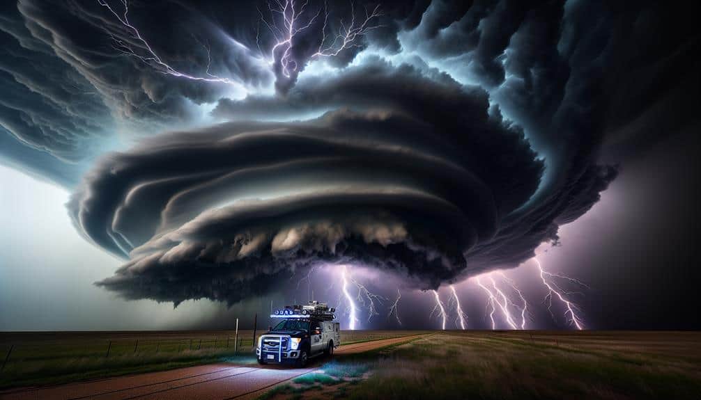
At the heart of meteorological phenomena, supercell storms represent the most organized and violent category of convective systems, distinguished by their deep, persistently rotating updraft known as a mesocyclone. These storms form under specific atmospheric conditions: ample moisture, significant wind shear, and instability in the atmosphere. The mesocyclone's rotation is often the precursor to tornado formation, making supercells particularly essential and fascinating.
Understanding the characteristics of supercell storms is vital for us as storm chasers. These storms typically exhibit a towering anvil-shaped cloud, a wall cloud, and sometimes a visible funnel cloud. The structure is organized into distinct regions, including the updraft, downdraft, and precipitation areas. Recognizing these features helps us predict storm behavior and plan our chasing strategies.
Chasing supercell storms requires precise techniques. We need to position ourselves in a way that maximizes visibility while maintaining safety. Typically, we approach from the southeast, keeping the storm's updraft to our left. This positioning allows us to observe the mesocyclone and any potential tornadoes while avoiding the core's heavy precipitation and hail. Mastering these strategies enhances our ability to document and understand these powerful natural phenomena.
Essential Gear and Equipment
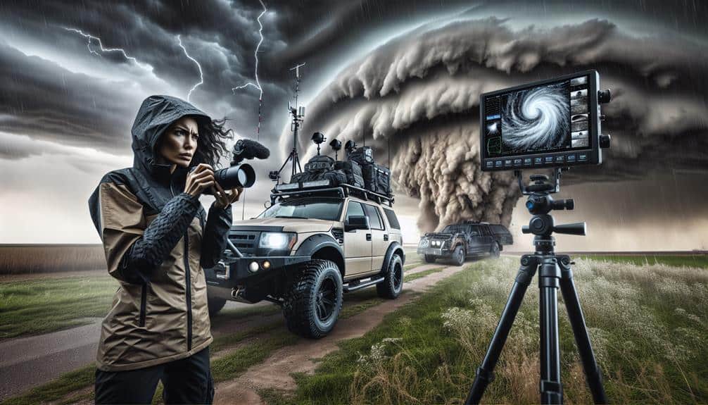
For storm chasing, we must meticulously equip ourselves with specialized gear to guarantee both safety and data accuracy. High-quality camera equipment is paramount; capturing detailed images and videos of supercells aids in analysis and documentation. We often use DSLR cameras with wide-angle lenses, tripods, and high-capacity memory cards to make sure we don't miss pivotal moments.
Additionally, drone technology allows us to obtain aerial views, indispensable for understanding storm structure.
Reliable communication devices are essential for staying connected with fellow chasers and emergency services. We rely on two-way radios, satellite phones, and mobile hotspots to maintain communication even in remote areas with poor cellular coverage.
Navigation tools are critical for plotting safe and effective routes. We use GPS devices, topographic maps, and specialized storm-chasing apps that provide real-time weather data and storm movement predictions. These tools help us avoid hazardous zones and optimize our chase paths.
Safety Precautions
Prioritizing safety during storm chasing involves adhering to rigorous protocols and utilizing advanced technology to mitigate risks. We must always conduct thorough risk assessments before starting on any chase. This process includes analyzing meteorological data, evaluating storm trajectories, and understanding the potential for severe weather phenomena like tornadoes, hail, and flash floods. By using tools like radar, satellite imagery, and storm prediction models, we can make informed decisions and minimize exposure to hazardous conditions.
Emergency protocols are another critical component of our safety strategy. Each team member must be familiar with these protocols, which include pre-defined evacuation routes, communication plans, and emergency contact information. In the event of an unforeseen situation, such as a rapidly changing storm path or mechanical failure, having a well-rehearsed plan guarantees we can respond swiftly and effectively.
Additionally, we rely on advanced communication technology, such as GPS tracking and two-way radios, to maintain constant contact with other chasers and emergency services. This connectivity allows us to share real-time updates and receive critical information, enhancing our situational awareness.
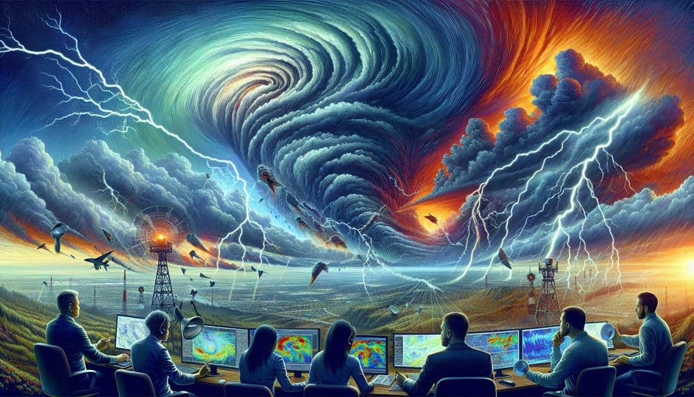
Weather Forecasting Skills
Understanding weather forecasting skills is essential to our ability to predict and track severe supercell storms effectively. By mastering meteorological principles, we can analyze weather patterns and anticipate the emergence of supercells. We start by interpreting synoptic charts, which display atmospheric pressure systems, fronts, and isobars—critical elements in storm tracking.
Utilizing satellite imagery and radar data enhances our situational awareness. Satellite images reveal cloud formations and their evolution, while Doppler radar provides real-time insights into precipitation intensity and storm rotation. By correlating this data, we identify potential supercell development zones.
Next, we explore thermodynamic diagrams, specifically Skew-T log-P charts, to assess atmospheric stability. These charts illustrate temperature, dew point, and wind profiles, helping us pinpoint areas with sufficient instability and moisture convergence—key ingredients for supercell genesis.
Numerical weather prediction models, such as the Global Forecast System (GFS) and the North American Mesoscale (NAM) model, offer predictive insights. These models simulate future weather patterns, enabling us to forecast potential storm tracks and intensities.
Joining Storm Chasing Communities
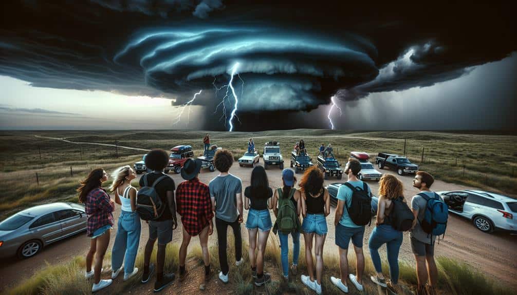
By joining storm chasing communities, we gain access to a wealth of collective expertise, real-time data sharing, and collaborative forecasting efforts that enhance our ability to track and analyze supercell storms. These communities are invaluable for refining our chasing strategies and understanding the intricacies of team dynamics. Engaging with seasoned chasers and meteorologists provides us with insights that are crucial for both safety and success in the field.
Here are some key benefits of being part of storm chasing communities:
- Real-time data exchange: Access to live radar feeds, weather models, and field reports enhances our situational awareness and decision-making.
- Collaborative forecasting: Working together on predictive models allows us to improve our strategies based on diverse input and expertise.
- Safety protocols: Sharing experiences and best practices guarantees we're prepared for the inherent risks of storm chasing.
- Equipment recommendations: Community feedback on the latest technology and tools keeps us equipped with the best resources.
In essence, storm chasing communities aren't just about the thrill; they're essential for developing strong chasing strategies and fostering effective team dynamics. These connections empower us to pursue our passion for storm chasing with greater precision and safety.
Frequently Asked Questions
How Do I Get Started With Storm Chasing if I'm a Complete Beginner?
Imagine you're an explorer braving new frontiers. We must prioritize safety precautions, like understanding weather patterns, and gather essential equipment needed, such as radar apps and anemometers. Knowledge and preparation provide the freedom to chase responsibly.
What Are the Best States or Regions in the US for Storm Chasing?
To maximize our chasing techniques and understand storm patterns, the best states are Texas, Oklahoma, and Kansas. Using ideal equipment and adhering to safety precautions, we can safely and effectively chase storms in these regions.
Can Storm Chasing Be a Full-Time Career and How Do I Make It Sustainable?
Coincidentally, storm chasing offers diverse income opportunities through media sales and research collaborations. To promote sustainability, we must diversify revenue streams, maintain safety protocols, and continuously adapt to technological advancements in our storm chasing career.
What Kind of Training or Education Is Beneficial for Becoming a Storm Chaser?
We'd recommend taking meteorology courses and gaining field experience. Storm spotting and emergency response skills are essential. Training in these areas guarantees we're prepared for unpredictable conditions and can safely navigate the challenges of storm chasing.
How Can I Balance Storm Chasing With Other Personal or Professional Commitments?
Balancing storm chasing with commitments requires accurate time management. Did you know 80% of chasers cite scheduling as vital? Prioritizing tasks and maintaining work-life balance guarantees we chase storms without sacrificing professional or personal obligations.