We must meticulously prepare for chasing supercell storms due to their complex dynamics and inherent risks. Understanding the mesocyclone, which forms from wind shear, is essential, and we rely on Doppler radar for precise identification. Wearing high-quality weather-resistant gear protects against extreme elements. Equipping ourselves with reliable communication tools and emergency kits ensures safety. Utilizing radar, satellite imagery, and predictive modeling software aids in accurate storm tracking and forecasting. Effective communication strategies, navigational planning, and emergency protocols are crucial for coordinated efforts. By staying prepared, we're able to reduce risks and understand more about these powerful storms.
Key Points
- Safety Gear: Essential to protect against extreme weather elements like hail, high winds, and heavy rainfall.
- Accurate Tracking: Real-time radar and satellite data are crucial for predicting and monitoring supercell behavior.
- Emergency Preparedness: Stocked emergency kits and established protocols ensure swift response during critical situations.
- Effective Communication: Reliable tools and strategies are vital for team coordination and situational awareness.
Understanding Supercell Dynamics
Supercell dynamics are characterized by a rotating updraft known as a mesocyclone, which is vital for the storm's longevity and severity. When discussing storm formation, it's essential to understand that the mesocyclone forms due to wind shear—variations in wind speed and direction at different altitudes. This rotation sets supercells apart from other thunderstorms, leading to their distinct behavior.
In storm chasing techniques, identifying the mesocyclone's presence is a key indicator of a supercell. By tracking wind velocities using Doppler radar, we can pinpoint the mesocyclone's location and predict the storm's path. This data-driven approach allows us to anticipate supercell behavior, such as hail formation, tornado genesis, and severe downdrafts.
Effective storm tracking methods involve monitoring radar reflectivity and velocity scans. By interpreting these scans, we can determine the storm's intensity and movement. Advanced tools, including GPS and mobile weather stations, enhance our ability to collect real-time data, improving our storm chasing accuracy.
Understanding supercell dynamics empowers us to navigate these storms with precision. We're not just passive observers; we're active participants in revealing nature's most powerful phenomena. This knowledge grants us the freedom to chase storms safely and effectively.
Essential Safety Gear
As storm chasers, we must prioritize safety by equipping ourselves with essential gear.
This includes:
- Wearing protective clothing designed to withstand extreme weather.
- Using reliable communication tools to maintain contact with our team.
Ensuring we've the right equipment can greatly enhance our chances of safely maneuvering supercell storms.
Protective Clothing Needed
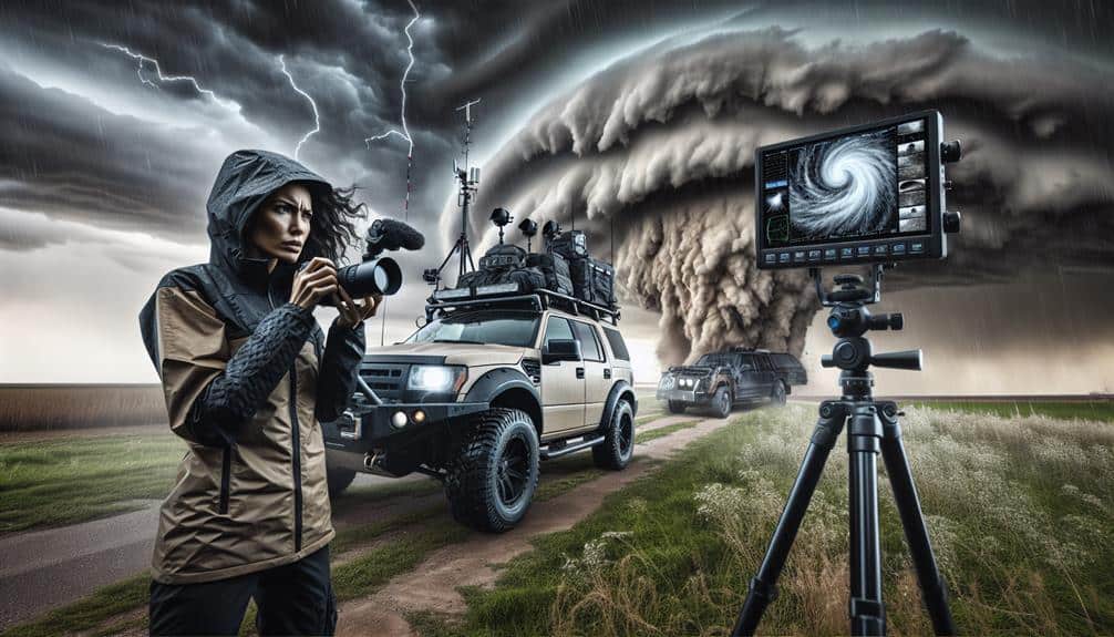
When preparing to chase supercell storms, we must prioritize wearing high-quality, weather-resistant gear to guarantee our safety in severe conditions. Storm gear is essential as it provides the necessary protection against extreme weather phenomena, including hail, high winds, and heavy rainfall.
First and foremost, a durable, waterproof jacket and pants are essential. These garments should be made from materials like Gore-Tex, which offer superior water resistance and breathability.
In addition to waterproof clothing, we need to invest in sturdy, insulated boots. These boots should have non-slip soles to provide traction on wet surfaces and protection against debris. Moreover, gloves and hats made from water-resistant and insulating materials are indispensable for maintaining body heat in cold, wet conditions.
Safety precautions extend beyond basic clothing. We should wear protective eyewear to shield our eyes from flying debris and UV radiation. A helmet, preferably one designed for impact resistance, is also advisable to protect our heads from hail and other hazards.
Communication Tools Required
Equipping ourselves with reliable communication tools is essential for maintaining safety and coordination during supercell storm chases. Effective team coordination and the ability to receive real-time updates are vital when maneuvering the volatile conditions of supercell storms. We rely heavily on advanced two-way radios with encrypted channels to guarantee clear and secure communication. These radios help us relay critical information about storm movements and changing weather patterns without interference.
In addition to two-way radios, we utilize mobile devices equipped with specialized weather apps that provide real-time updates on storm trajectories and severity. These apps often integrate data from Doppler radar and satellite imagery, enabling us to make informed decisions swiftly. Having access to the National Weather Service (NWS) alerts via mobile notifications ensures we're informed on any sudden changes or new warnings issued.
Satellite phones serve as a backup communication tool, particularly in remote areas where cell service is unreliable. They guarantee we can maintain contact with emergency services if needed. By integrating these communication tools, we enhance our situational awareness, allowing us the freedom to chase safely while minimizing risks associated with supercell storms.
Emergency Kits Prepared
We always make certain our emergency kits are meticulously stocked with essential safety gear to handle the unpredictable nature of supercell storms. Having a well-prepared emergency kit can mean the difference between a manageable situation and a life-threatening one.
Our kits include basic survival supplies such as water, non-perishable food, first aid kits, and thermal blankets. Additionally, we carry more specialized items like NOAA weather radios, portable phone chargers, and multi-purpose tools to guarantee thorough emergency response capabilities.
Data shows that supercell storms can spawn tornadoes with wind speeds exceeding 200 mph. Given this, personal protective equipment (PPE) such as helmets and goggles are non-negotiable. Research also emphasizes the importance of having a detailed map of the area and a GPS device, as cell service is often unreliable during severe weather events.
We prioritize redundancy in our emergency kits; having multiple forms of lighting (flashlights, headlamps) and backup batteries is essential. By rigorously preparing our kits, we enhance our ability to navigate the volatile conditions that supercell storms present.
This meticulous preparation enables us to chase storms with the confidence that we're equipped to handle any emergency that might arise.
Weather Forecasting Tools
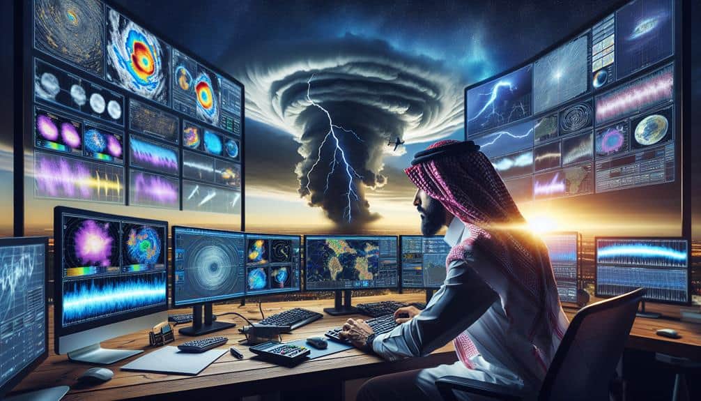
As we prepare for chasing supercell storms, we rely heavily on advanced weather forecasting tools.
We'll utilize radar and satellite imagery to monitor storm development in real-time and rely on predictive modeling software to forecast storm trajectories.
These tools provide critical data for making informed decisions on positioning and safety.
Radar and Satellite Imagery
Accurate radar and satellite imagery are essential tools for predicting and tracking supercell storms, providing real-time data on storm structure, intensity, and movement. By leveraging these technologies, we can gain a thorough understanding of evolving weather patterns and make informed decisions while chasing these formidable natural phenomena.
Radar technology allows us to monitor the specific details of storm tracking, capturing data on precipitation, wind velocities, and cloud formations. This information is critical for identifying supercells, which are characterized by their rotating updrafts and potential to spawn tornadoes.
Satellite imagery, on the other hand, offers a broader view of the atmospheric conditions. High-resolution images from geostationary and polar-orbiting satellites help us analyze the development and dissipation of storm systems over large areas. They provide valuable insight into:
- Cloud top temperatures, indicating the potential severity of a storm.
- Moisture content in the atmosphere, essential for predicting rainfall intensity.
Predictive Modeling Software
Predictive modeling software, integral to modern storm chasing, utilizes complex algorithms and historical data to forecast supercell development with remarkable precision. By leveraging high-resolution atmospheric models, we can predict where and when these powerful storms might form. These tools employ extensive data analysis techniques, processing vast amounts of meteorological data to provide real-time storm tracking capabilities.
In our pursuit of understanding these formidable weather phenomena, predictive modeling software enables us to analyze variables such as wind shear, temperature gradients, and atmospheric moisture content. This data synthesis allows us to create highly accurate models that can pinpoint potential supercell formation zones.
The software's capacity to simulate various weather scenarios enhances our ability to prepare for the unpredictable nature of supercell storms.
Communication Strategies
Effective communication strategies hinge on real-time data sharing and clear, concise coordination among storm chasing teams. Our ability to track supercell storms efficiently relies on synchronized team coordination and advanced storm tracking technologies. By leveraging GPS, radar, and satellite data, we can pinpoint storm locations and predict their paths with high accuracy. It's pivotal that all team members are on the same page to guarantee safety and efficiency.
We use several communication techniques to maintain seamless interaction:
- Two-way radios: These provide reliable, instant communication, even in remote areas where cell service may be spotty.
- Mobile apps and software: Tools like RadarScope and GRLevelX enable real-time data sharing, ensuring everyone has access to the latest storm updates.
Effective communication isn't just about technology; it's about having a cohesive strategy that guarantees everyone knows their role and can respond promptly. When seconds count, our ability to convey critical information can mean the difference between a successful chase and a potentially dangerous situation.
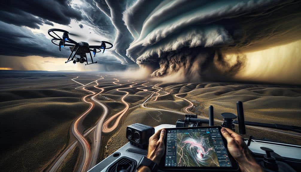
Navigational planning is crucial for guaranteeing we position ourselves ideally to observe and document supercell storms safely. To achieve this, we need to integrate route optimization with real-time weather monitoring. By analyzing meteorological data and storm trajectories, we can chart efficient paths that maximize our chances of encountering supercells while minimizing risk.
Route optimization involves leveraging GPS technology, topographical maps, and storm prediction models. We should determine multiple potential routes in advance, considering factors like road conditions, traffic, and proximity to emergency services. This multi-route approach guarantees we can adapt quickly if weather conditions or other variables change unexpectedly.
Weather monitoring is equally critical. Utilizing tools such as Doppler radar, satellite imagery, and mobile weather apps, we can track storm development and movement in real-time. These data points help us anticipate supercell behavior, allowing us to make informed decisions about where to position ourselves.
Advanced weather monitoring systems can notify us of sudden changes, such as the formation of tornadoes or hail cores, enabling us to adjust our course promptly.
Emergency Protocols
Establishing detailed emergency procedures is vital to secure our safety while pursuing supercell storms. Given the unpredictable nature of these weather phenomena, we must make sure that we're prepared for any eventuality. Our emergency procedures should be thorough and include specific plans for immediate action.
To start with, identifying and mapping out evacuation routes is pivotal. We need to know the quickest and safest paths to emergency shelters in case of a sudden change in storm trajectory. This minimizes the risk of getting caught in a life-threatening situation.
Additionally, having a well-stocked first aid kit and medical supplies is essential. Injuries can happen, and being equipped to handle them can mean the difference between a minor setback and a major crisis. Our kit should include:
- Basic first aid supplies (bandages, antiseptic wipes, gauze)
- Medications (pain relievers, antihistamines)
Moreover, maintaining constant communication with local authorities and weather stations ensures that we stay informed about any updates or warnings. This allows us to make timely decisions and adjust our plans as necessary.
Frequently Asked Questions
What Are the Best Times of Year to Chase Supercell Storms?
The best times of year to chase supercell storms are typically spring and early summer. During these periods, weather patterns favor storm formation. Prioritizing storm chasing safety, we align our activities with peak atmospheric instability.
How Can I Get Started in Storm Chasing as a Beginner?
Think of storm chasing as our Odyssey; preparation is key. Safety tips include understanding meteorological data and having emergency plans. Essential equipment needed includes a reliable vehicle, GPS, weather radar, and communication devices. Let's embrace the adventure wisely!
What Are Some Common Misconceptions About Supercell Storms?
Some common misconceptions about supercell storms include underestimating safety precautions and overestimating the equipment needed. We often think basic tools will suffice, but precise instruments and robust safety measures are essential for accurate data and personal safety.
How Do You Balance Storm Chasing With Daily Life and Work Commitments?
Balancing storm chasing with daily life is a delicate dance. We prioritize time management, and carefully schedule around work commitments to maintain work-life balance. By integrating sophisticated planning, we secure our freedom to pursue this exhilarating hobby.
What Are the Ethical Considerations in Storm Chasing?
When considering ethical dilemmas in storm chasing, we must prioritize safety precautions for ourselves and the public. We balance data collection with responsible behavior, ensuring our actions don't endanger lives or interfere with emergency services' operations.
