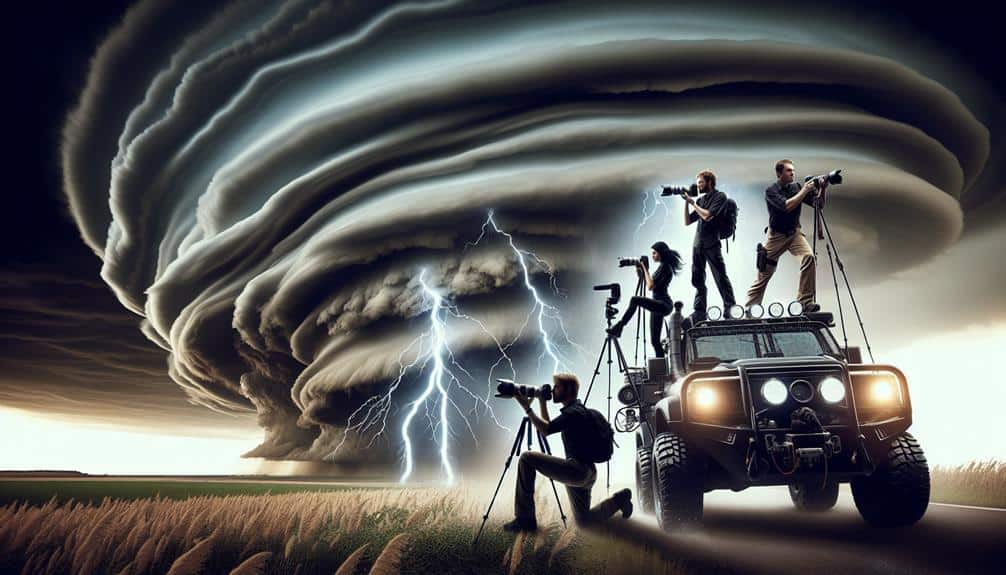
When chasing supercells, we analyze wind shear, CAPE, and dew points to understand storm potential. We rely on real-time data from satellite imagery, radar, and surface observations to track supercell development. Our gear must include high-resolution cameras, GPS units, and emergency supplies. Planning routes involves reviewing high-resolution weather models and identifying safe zones with clear escape routes. Constant communication with fellow chasers and staying updated through weather apps are essential. We document our chases meticulously, ensuring data accuracy and backup. By integrating these strategies, we're prepared for successful supercell chases, which we'll unpack further.
Key Points
- Continuously monitor high-resolution weather models and real-time data for precise supercell tracking.
- Always prioritize safety by maintaining a safe distance from storms and having clear escape routes.
- Ensure all gear is in excellent condition, including cameras, weather radios, and emergency supplies.
- Maintain constant communication with fellow chasers and emergency services for real-time updates and coordination.
Understand Supercell Formation
To effectively chase supercells, we must first explore the meteorological conditions that lead to their formation. Supercells are a type of severe convective storm characterized by a deep, persistently rotating updraft known as a mesocyclone. This storm structure is primarily driven by supercell dynamics, which include wind shear, instability, and moisture.
We begin by analyzing wind shear, the variation of wind speed and direction with altitude. Strong vertical wind shear is vital for storm development, allowing the updraft to tilt and rotate rather than collapsing. This rotation is key to sustaining the storm's longevity and intensity.
Next, atmospheric instability, quantified by parameters such as Convective Available Potential Energy (CAPE), fuels the robust updrafts found in supercells. High CAPE values indicate a more buoyant atmosphere, which promotes stronger updrafts and helps the storm structure maintain its intensity.
Moisture, often measured by dew point temperatures, is the third essential element. Adequate low-level moisture supports the formation of a well-defined cloud base, essential for the development of severe weather phenomena like large hail, damaging winds, and tornadoes.
Research Weather Patterns
Analyzing synoptic-scale weather patterns, including troughs, ridges, and jet streams, allows us to pinpoint regions where supercell formation is most likely. We start by examining data from weather forecasting models, satellite imagery, and surface observations. These tools enable us to identify key elements such as moisture convergence, atmospheric instability, and wind shear, which are critical for supercell development.
To efficiently track these factors, we consider the following:
- Trough Positions: Deep troughs often enhance lift, creating favorable conditions for storm initiation.
- Jet Streams: Strong upper-level winds can provide necessary shear for rotating storms.
- Surface Boundaries: Fronts and drylines can act as focal points for storm development.
- CAPE (Convective Available Potential Energy): High CAPE values indicate substantial energy for storms to tap into.
Assemble the Right Gear
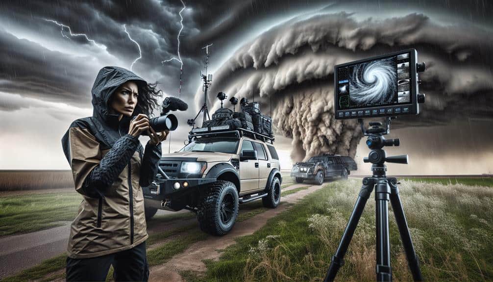
Having pinpointed potential supercell hotspots through careful analysis, we must now make certain our gear is meticulously assembled to effectively chase and document these powerful storms. Gear maintenance is crucial; verify all equipment is in excellent condition. Start with a reliable vehicle, fit for rugged terrain and long distances. Regularly check tire pressure, oil levels, and fuel.
Packing essentials is next. High-resolution cameras with spare batteries, tripods, and memory cards are essential for documentation. Don't overlook weather-proof cases to protect gear from the elements. Portable power banks and charging cables keep our devices operational.
Emergency supplies are non-negotiable. Assemble a first-aid kit, water, non-perishable food, and warm clothing. Include a toolkit with basic repair items for unexpected vehicle issues. Equally important are communication devices. Invest in a high-range, two-way radio system for areas with poor cell coverage. Satellite phones can provide a lifeline when traditional networks fail.
A GPS unit with updated maps and a weather radio are indispensable for real-time updates and navigation. Lastly, keep a detailed checklist to make sure nothing is forgotten. By rigorously preparing, we maximize our chances of a successful and safe chase.
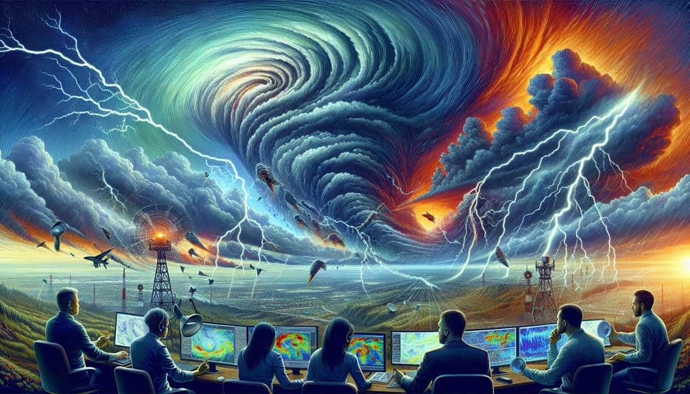
Master Meteorological Tools
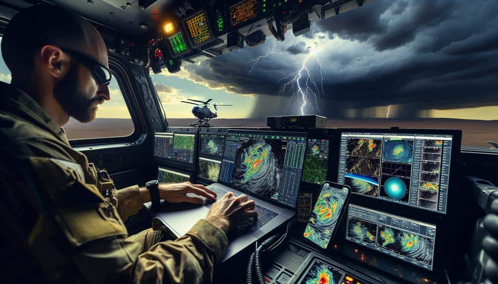
Understanding and utilizing advanced meteorological tools is crucial to accurately predicting and tracking supercell developments. We need to harness the power of these tools to gain a thorough understanding of atmospheric conditions that foster supercell formation. By doing so, we can actively refine our chase strategies to maximize both safety and observational success.
Weather radar and satellite imagery are two pivotal tools in our arsenal. The radar's capability to provide real-time data on precipitation intensity and storm structure allows us to identify key features like mesocyclones and hook echoes. Satellite imagery, on the other hand, offers a macroscopic view of cloud formations and temperature gradients, giving us insights into broader atmospheric patterns.
Let's break down the essential tools:
- Weather radar: Tracks precipitation intensity, storm rotation, and structural evolution.
- Satellite imagery: Monitors cloud formations, temperature gradients, and overall atmospheric dynamics.
- Surface observations: Provides ground-level data on temperature, humidity, and wind speeds.
- Skew-T log-P diagrams: Analyzes vertical profiles of temperature and dew point to assess atmospheric instability.
Plan Your Chase Route
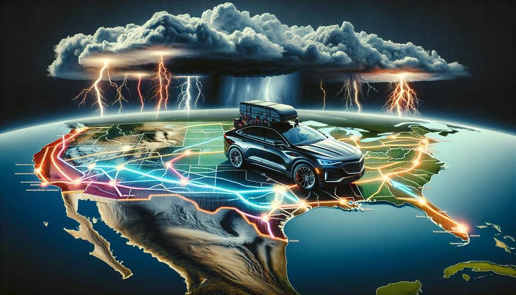
To optimize our chase, we must map out key areas of predicted supercell activity using high-resolution weather models.
We'll continuously monitor real-time data such as radar and satellite imagery to adapt our route dynamically.
Identifying safe zones with clear escape routes is crucial to guarantee our safety amidst rapidly changing conditions.
Map Out Key Areas
Before we set out on our chase, let's use meteorological data and mapping tools to identify the key areas where supercells are most likely to form. By zeroing in on target locations and weather hotspots, we can maximize our chances of witnessing these incredible storm systems. We'll need to focus on strategic positions to optimize our storm tracking efforts.
Here are a few steps to help us map out our chase route effectively:
- Analyze SPC Convective Outlooks: Daily outlooks from the Storm Prediction Center (SPC) give us a broad view of potential severe weather zones.
- Examine Surface Observations: Current temperature, dew point, and wind data help us pinpoint areas of high instability.
- Review Upper Air Soundings: Radiosonde data provide insight into atmospheric conditions at different altitudes, essential for identifying supercell potential.
- Utilize High-Resolution Models: Tools like the HRRR (High-Resolution Rapid Refresh) offer detailed, short-term forecasts that are invaluable for fine-tuning our route.
Monitor Real-Time Data
After pinpointing potential supercell hotspots, we must continuously monitor real-time data to adapt our chase route dynamically. This involves leveraging various data sources, such as radar imagery, satellite views, and storm reports.
By analyzing trends, we can identify evolving patterns in storm intensity and movement. For example, radar data provides insights into precipitation structures, while satellite imagery offers broader context on atmospheric conditions.
We need to track progression meticulously. As we move, we'll regularly check updates from sources like the Storm Prediction Center (SPC) and National Weather Service (NWS). These updates help us anticipate changes in storm trajectory and adjust our position accordingly.
Mobile apps equipped with real-time data feeds are invaluable tools, enabling us to make split-second decisions.
We should also pay attention to mesoscale discussions, which highlight areas of potential severe weather development. Enhanced radar features, such as velocity scans, allow us to detect rotation within storms, essential for identifying supercell characteristics.
Identify Safe Zones
Determining safe zones for our chase route involves analyzing topographical maps, road networks, and population densities to guarantee we've multiple escape routes and minimal interference from urban areas. By carefully planning our path, we ensure that safety comes first, allowing us to focus on effective storm spotting without unnecessary risks.
We begin by examining topographical maps to identify high-risk areas such as flood-prone valleys and densely wooded regions. These areas can become dangerous quickly, compromising our ability to navigate safely.
Next, we analyze road networks, prioritizing routes with multiple exit points and avoiding dead-ends or single-lane roads. This approach secures we've ample opportunities to retreat if the weather turns unexpectedly severe.
Population densities also play a significant role in our planning. High-density urban areas can create bottlenecks and slow us down, so we aim to avoid these regions as much as possible. Instead, we favor rural routes that offer more maneuverability and fewer obstacles.
- Topographical hazards: Identify flood-prone and wooded areas.
- Escape routes: Prioritize roads with multiple exits.
- Population densities: Avoid high-density urban areas.
- Real-time updates: Continuously monitor road conditions.
With detailed analysis and data-driven planning, we maximize our freedom to chase supercells safely and efficiently.
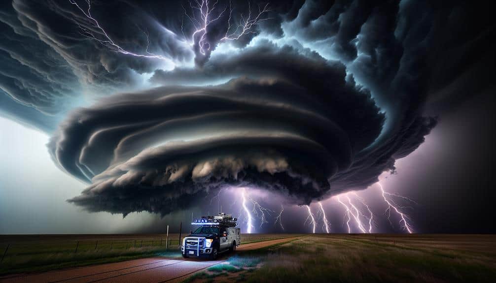
Prioritize Safety Precautions
Guaranteeing our safety while pursuing supercells involves carefully evaluating weather data, maintaining constant communication, and always having a well-defined escape route. Safety awareness is paramount; we need to be skilled in storm spotting techniques to accurately assess supercell structure and behavior. This involves understanding radar signatures, such as hook echoes and velocity couplets, which indicate potential tornado formation.
Emergency protocol development is essential for minimizing risk. We should establish predefined risk assessment criteria, including factors like storm speed, direction, and potential hazards. Regularly updating these assessments based on real-time data ensures we're not caught off-guard.
Our vehicles must be equipped with essential safety gear: first aid kits, NOAA radios, and GPS devices to track our position relative to the storm.
Maintaining constant communication is vital. We should use multiple methods—cell phones, two-way radios, satellite communication devices—to guarantee we can relay our status and receive updates from fellow chasers and meteorological services.
A well-defined escape route involves not just one, but multiple exit strategies. We need to map out alternative paths in case the primary route becomes impassable due to rapidly changing storm conditions, securing our freedom to navigate safely through high-risk areas.
Stay Informed With Updates
We must consistently monitor meteorological updates and real-time data to stay ahead of rapidly evolving supercell conditions. Accurate information is essential for making timely and informed decisions. Leveraging technology and community insights can greatly enhance our situational awareness and responsiveness.
One effective approach is to join online forums and social media for updates. These platforms offer real-time observations and discussions that can provide valuable context. Additionally, following reliable meteorologists and experienced storm chasers ensures we receive expert analysis and forecasts that are vital for understanding supercell dynamics.
Here are key strategies to stay informed:
- Use specialized weather apps: These tools offer live radar, storm tracking, and alert systems tailored for severe weather.
- Subscribe to weather alert services: Immediate notifications about watches and warnings keep us prepared.
- Participate in online weather communities: Forums and groups often share timely, ground-level reports.
- Regularly check meteorological websites: National Weather Service and other authoritative sites provide detailed data and updates.
Communicate With Fellow Chasers
Maintaining open lines of communication with fellow chasers is essential for sharing real-time data, coordinating movements, and guaranteeing safety during a supercell chase. We leverage various communication tools such as ham radios, mobile apps like Zello, and dedicated storm chasing forums. These platforms allow us to share experiences and observations instantaneously, providing crucial updates about storm behavior and location.
Discussing strategies in real-time enhances our decision-making process. For instance, by sharing radar interpretations and GPS coordinates, we can collaboratively determine the best intercept routes or escape plans. This collective intelligence minimizes risks and maximizes our chances of capturing significant meteorological phenomena.
Analyzing data from multiple sources, including satellite feeds, Doppler radar, and ground reports, enables us to triangulate information and validate our strategies. By constantly communicating, we guarantee that no vital piece of data is overlooked, and we can adapt to the supercell's rapid changes efficiently.
Moreover, sharing experiences from past chases helps us refine our techniques and strategies. Real-time communication fosters a sense of camaraderie and mutual support, essential for steering through the uncertainties of storm chasing. In this way, we achieve a balance between our passion for freedom and the discipline required for safe, effective chasing.
Document Your Chase
Capturing high-definition images and video footage is crucial for analyzing supercell structures and behaviors post-chase. When we're out in the field, the quality of our chase footage can make a significant impact on our subsequent analysis. Utilizing advanced storm photography techniques allows us to document intricate cloud formations, rotation signatures, and precipitation patterns in real-time.
To optimize our documentation, consider these critical points:
- Use DSLR or mirrorless cameras: They provide excellent resolution and dynamic range compared to smartphone cameras.
- Stabilize your shots: Employ tripods or gimbals to guarantee footage is steady despite high winds.
- Log data meticulously: Maintain a detailed weather journal or storm log to record timestamps, GPS coordinates, and weather conditions accurately.
- Backup your files immediately: Use external hard drives or cloud storage to prevent data loss effectively.
Reflect and Learn
Regularly reviewing our chase data and footage allows us to identify patterns, refine our techniques, and enhance our understanding of supercell dynamics. By systematically analyzing mistakes, we can pinpoint what went wrong and develop strategies to improve future chases.
For example, if we misjudged storm speed or direction, we can adjust our forecasting models and fine-tune our radar interpretation skills.
Evaluating outcomes is equally vital. We should measure the effectiveness of our decisions, from the initial setup to the final intercept. Did we position ourselves optimally to capture high-quality footage and data? Were there missed opportunities that could have yielded better results?
By asking these questions, we can adjust our approach and become more agile in our chase strategies.
Data-driven decisions are the cornerstone of successful storm chasing. Utilizing GPS logs, radar data, and video timestamps, we can reconstruct our chase routes and compare them against storm development. This meticulous review process not only sharpens our technical skills but also fuels our passion for the freedom of the open road and the thrill of the chase.
Frequently Asked Questions
What Should I Do if My Vehicle Breaks Down During a Chase?
What if disaster strikes and our vehicle breaks down? We should immediately execute our emergency plan, contact roadside assistance, and guarantee we're safely off the road. Data shows preparedness greatly reduces risks during such critical moments.
How Can I Manage Anxiety or Fear While Chasing Supercells?
We can manage anxiety or fear by employing coping strategies like deep breathing and visualization. Mental preparation, including studying meteorological data and rehearsing scenarios, enhances our confidence. Data-driven insights empower us to chase with clarity and freedom.
Are There Any Legal Restrictions or Permits Required for Storm Chasing?
Are we aware of the legalities involved? While storm chasing generally doesn't require specific permits, we must adhere to local regulations and safety precautions. Some areas have restrictions to guarantee public safety and responsible behavior during severe weather events.
What Should I Do if I Encounter Injured Individuals During a Storm Chase?
If we encounter injured individuals during storm chasing, we should administer first aid, call for emergency response, and follow safety precautions. Our data-driven approach guarantees we're prepared to provide immediate assistance while maintaining our own safety.
How Can I Balance Storm Chasing With a Full-Time Job or Other Commitments?
Balancing storm chasing with a full-time job? It's like juggling lightning bolts! Effective time management and prioritizing our passion guarantees we maintain work-life balance. Detailed scheduling allows us to pursue freedom without sacrificing commitments.