We follow waterspouts for research to acquire precise data on their formation, movement, and impacts. Using aerial surveillance, drones, and Doppler radar, we collect high-resolution images and real-time data. These methods allow for detailed tracking and analysis of waterspout behaviors, contributing to better predictive models and storm forecasting. Safety protocols, guided by historical data and real-time monitoring, ensure our missions are both effective and secure. By examining waterspouts' unique characteristics, we enhance our understanding compared to tornadoes, offering critical insights for coastal community preparedness and meteorological advancements. Discovering these key elements provides deeper scientific and safety contributions.
Key Points
- Enhance Predictive Models: Storm chasers gather data to improve the accuracy of predictive models for waterspout formation and behavior.
- Understand Formation Mechanisms: Research aims to understand the specific meteorological conditions that lead to waterspout development.
- Improve Safety Protocols: Insights from studying waterspouts help refine safety measures for coastal communities and maritime activities.
- Advance Meteorological Knowledge: Capturing high-resolution data contributes to the broader field of meteorology, differentiating waterspouts from tornadoes.
Understanding Waterspouts
Waterspouts, defined as intense columns of rotating wind over water, exhibit distinct characteristics that differentiate them from tornadoes on land. Unlike tornadoes, waterspouts form primarily over warm bodies of water and can be classified into two main types: fair-weather waterspouts and tornadic waterspouts.
The formation process of these phenomena is closely linked to specific weather patterns. In fair-weather waterspouts, the process begins with the development of cumulus clouds. As warm, moist air rises and condenses, it creates a rotating column of air that stretches downward to the water surface, forming the waterspout.
Tornadic waterspouts, on the other hand, are associated with severe thunderstorms and share similarities with land-based tornadoes. They develop from the base of a thunderstorm and extend downward, driven by strong vertical wind shear and instability within the storm.
Data indicates that the most favorable conditions for waterspout formation include sea surface temperatures above 26°C (79°F) and relatively low vertical wind shear.
Data Collection Techniques
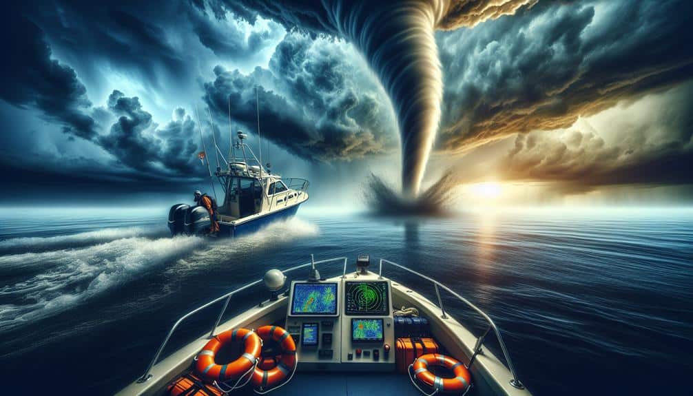
To collect precise data on waterspouts, we utilize a variety of advanced techniques, including aerial surveillance, radar analysis, and in-situ measurements using specialized instruments. These methods allow us to capture a complete set of data points necessary for understanding the dynamics of waterspouts.
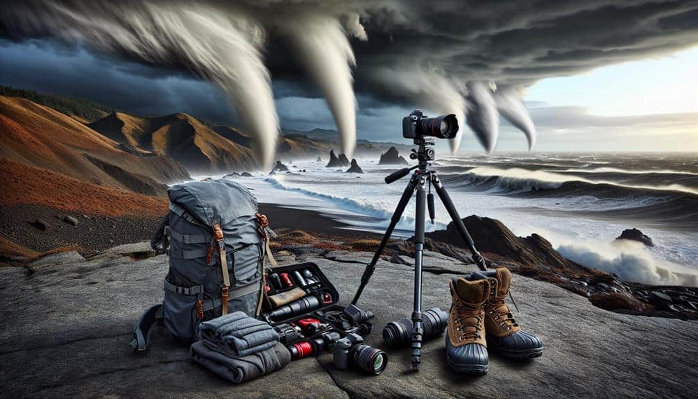
We rely on sampling methods that involve deploying drones and manned aircraft equipped with high-resolution cameras and sensors. This aerial surveillance provides real-time visual and environmental data.
Radar analysis, utilizing Doppler radar systems, helps us track the formation and movement of waterspouts, offering essential insights into their velocity and rotational characteristics.
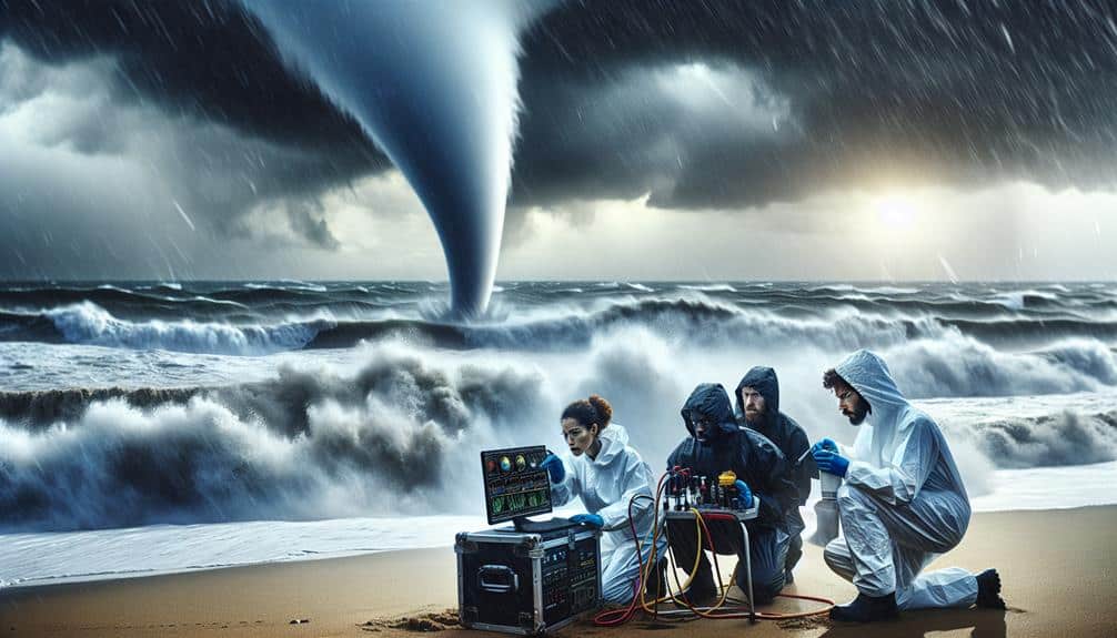
In-situ measurements are perhaps the most direct method, requiring us to place instruments in the immediate vicinity of waterspouts. These devices measure parameters like wind speed, pressure, and humidity.
To guarantee the highest quality of data, we implement rigorous data validation and quality control protocols. This involves cross-referencing data from multiple sources and employing statistical analysis techniques.
Here are three reasons why our data collection is crucial:
- Understanding Waterspout Behavior: Precise data helps predict future occurrences.
- Improving Safety Measures: Data guides the development of effective safety protocols.
- Advancing Scientific Knowledge: Our findings contribute to meteorological research.
Safety Measures
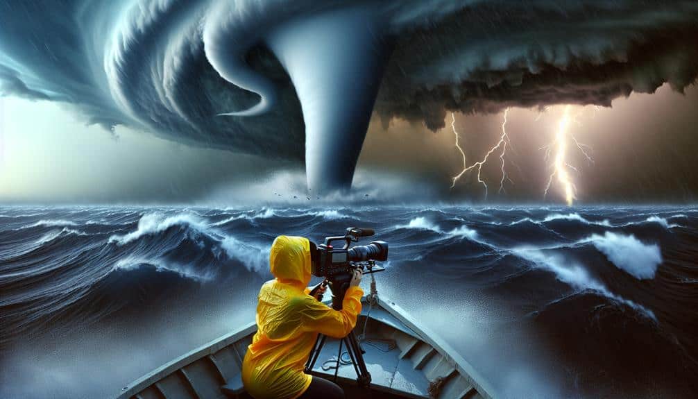
Implementing robust safety measures is crucial to protect our team and equipment during waterspout research missions. To guarantee maximum safety, we follow stringent safety precautions based on historical data and predictive models. Our team undergoes rigorous training to handle the unpredictable nature of waterspouts, which includes real-time decision-making and adherence to established emergency protocols.
Deploying safety measures begins with pre-mission briefings where we analyze meteorological data to identify potential risks. We use this data to map out escape routes and safe zones, guaranteeing we're never caught off guard.
During the mission, constant communication is maintained through radio and satellite links, enabling us to relay real-time updates and execute emergency protocols if necessary.
We also equip our vehicles and vessels with state-of-the-art safety gear, including GPS trackers and weather radars, to monitor our proximity to waterspouts accurately. This technology helps us maintain a safe distance while collecting valuable data.
Technological Tools
Leveraging cutting-edge technological tools, we enhance the accuracy and efficiency of our waterspout research missions. Our state-of-the-art equipment allows us to gather precise data, essential for understanding these fascinating phenomena.
Drone surveillance offers us unparalleled access to waterspouts, capturing high-resolution imagery and real-time video without risking human life. These drones can fly into the heart of the storm, providing data that would be impossible to obtain otherwise.
Satellite tracking complements this by offering a broader perspective, enabling us to monitor waterspouts over vast oceanic expanses and predict their formation with remarkable accuracy.
Remote sensing technologies play a pivotal role in our research as well. By collecting data on sea surface temperatures, atmospheric pressure, and humidity levels, we can identify the environmental conditions conducive to waterspout formation. This data-driven approach allows us to build predictive models that improve our understanding of these dynamic systems.
Radar analysis is another cornerstone of our research. High-frequency radar systems track the movement and intensity of waterspouts, providing real-time updates essential for both research and safety.
Here's why these tools matter:
- Increased Safety: Less risk to human life.
- Higher Accuracy: More precise data collection.
- Broader Insights: Thorough environmental monitoring.
Contributions to Meteorology
Our research on waterspouts advances meteorological knowledge by providing unprecedented insights into their formation, behavior, and impact. By capturing high-resolution meteorological data, we can analyze the precise conditions under which waterspouts develop. This data greatly contributes to our understanding of weather patterns and the dynamics involved in waterspout genesis.
One of our key research impacts is the enhancement of predictive models. By integrating real-time data from our field observations, we've improved the accuracy of storm forecasting. This scientific advancement not only helps to mitigate risks associated with waterspouts but also enriches our comprehension of broader meteorological phenomena.
We've also observed that waterspouts exhibit unique characteristics compared to their terrestrial counterparts, tornadoes. Our detailed studies reveal variations in wind speed, rotational dynamics, and lifecycle. These findings are vital for refining existing theoretical models and developing new hypotheses.
Moreover, our work provides actionable data for coastal communities, leading to better preparedness and response strategies. By understanding the specific weather patterns that precede waterspouts, local authorities can issue timely warnings, thereby safeguarding lives and property.
Frequently Asked Questions
What Motivates Storm Chasers to Risk Their Safety for Waterspout Research?
We're motivated by the adrenaline rush and scientific curiosity. Despite safety concerns, the need for data collection on waterspouts drives us. The evidence gathered aids in understanding these phenomena, balancing risk with the pursuit of knowledge.
How Do Waterspouts Impact Local Marine Life and Ecosystems?
Waterspouts act like underwater tornadoes, disrupting marine biodiversity and ecosystems. They cause significant environmental impact, compelling us to enhance conservation efforts. Data shows these phenomena can devastate habitats, urging us to prioritize marine life protection and resilience.
Are There Specific Regions Where Waterspouts Are More Commonly Observed?
We observe waterspouts more frequently in regions with specific climatic conditions, like the Mediterranean and Gulf of Mexico. Understanding their global distribution offers research opportunities to study their frequency and environmental impacts, enhancing our knowledge and action strategies.
Can Waterspouts Influence Weather Patterns in Coastal Areas?
We've observed that waterspouts can greatly influence coastal impacts and local weather patterns. Our research methods and data collection focus on these phenomena to better understand their effects, enhancing predictive models and protecting coastal communities' freedom and safety.
What Qualifications or Training Are Required to Become a Storm Chaser Specializing in Waterspouts?
Knowledge is power. To become a storm chaser specializing in waterspout research, we need extensive education in meteorology and hands-on training in advanced storm chasing techniques. This combination equips us with the skills to gather essential data effectively.