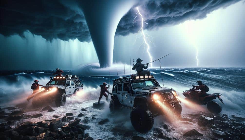
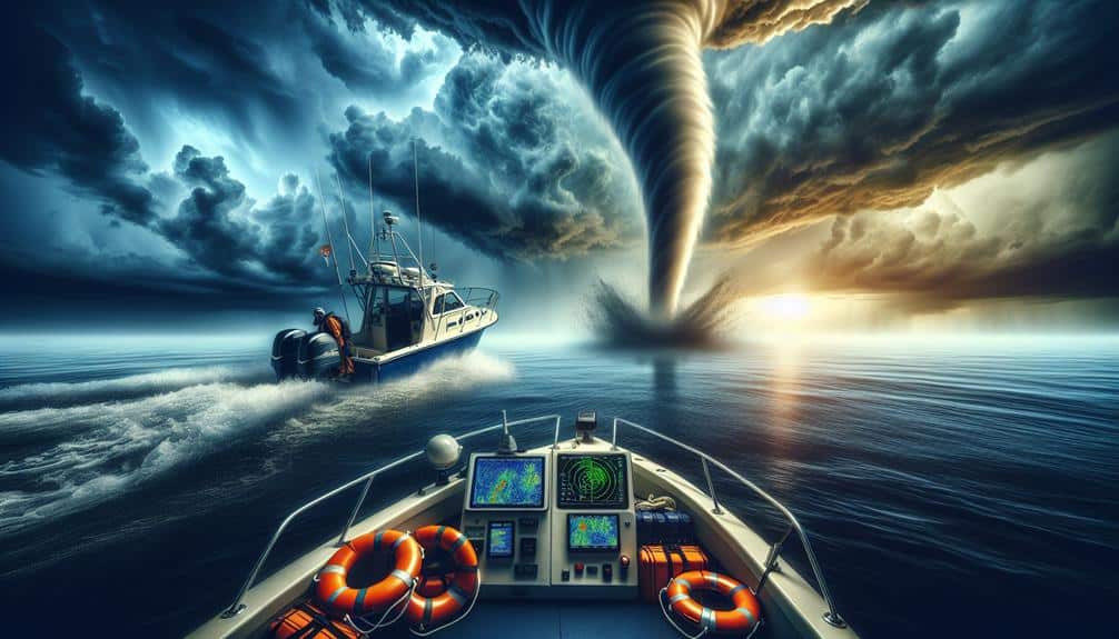
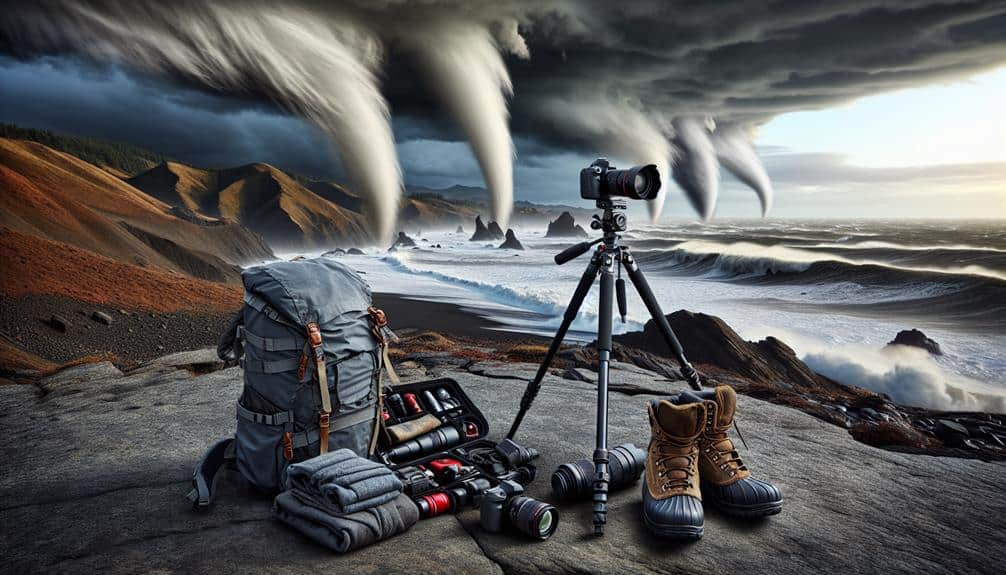
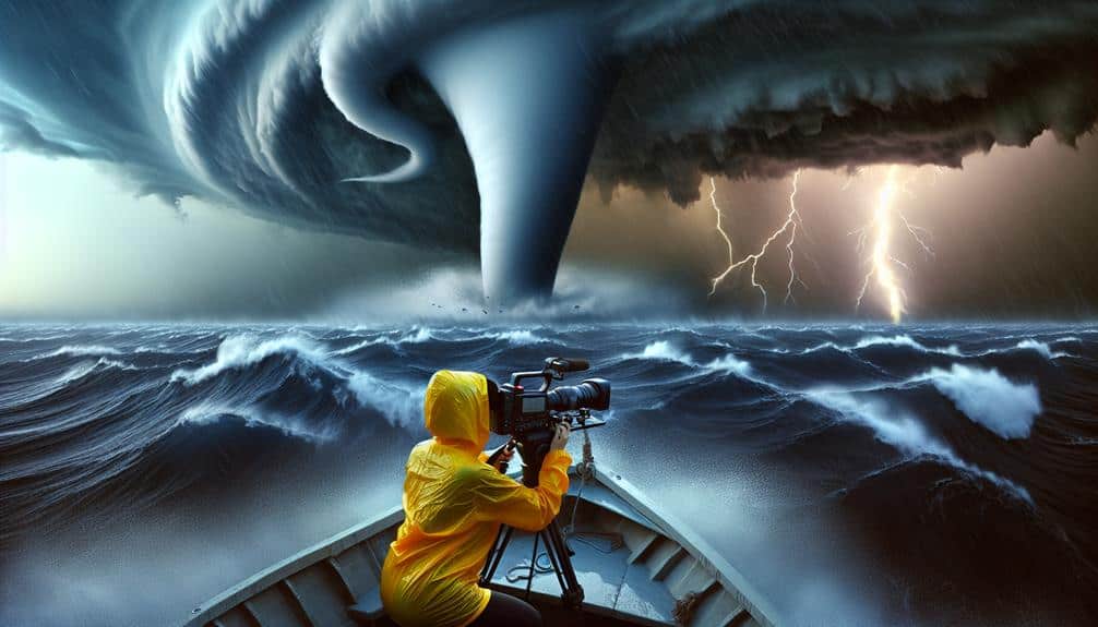
We've meticulously documented our encounters with waterspouts across regions like the Florida Keys, Great Lakes, Gulf of Mexico, Mediterranean Sea, and the Caribbean. Using advanced equipment like high-resolution Doppler radar and drones, we've observed waterspouts reaching diameters of up to 50 meters and wind speeds over 100 km/h. Peak formations often occur during late summer months, with tropical storms and thermodynamic instability playing significant roles. Our data-driven efforts enhance predictive models and expand meteorological understanding. Each adventure provides critical insights into atmospheric dynamics and underscores the importance of safety. Join us as we explore these powerful natural phenomena further.
Key Points
- Storm chasers in the Florida Keys witness intense waterspouts, especially during late summer, enhanced by tropical storms.
- Great Lakes waterspouts challenge predictive models and benefit from high-resolution Doppler radar and real-time data.
- Gulf of Mexico adventures involve drone deployment for real-time data on clustered waterspouts, peaking in the late afternoon.
- Mediterranean pursuits focus on the atmospheric dynamics and thermodynamic instability that contribute to waterspout formation.
Waterspouts in the Florida Keys
In the Florida Keys, we frequently observe waterspouts, which are intense columns of rotating air that form over warm ocean waters. These phenomena are most commonly sighted around Key West, where the atmospheric conditions are particularly favorable. Our data indicates that the peak occurrence is during the late summer months, coinciding with the region's hurricane season.
Our encounters with tropical storms further enhance the frequency of waterspout formations. When tropical storms pass through, the increased wind shear and warm sea surface temperatures create ideal conditions for waterspout development. We've documented up to three waterspouts simultaneously during such events, a proof to the dynamic weather patterns in the area.
Key West sightings are notable not only for their frequency but also for the intensity and size of the waterspouts. Our measurements show that these waterspouts can reach diameters of up to 50 meters and wind speeds exceeding 100 kilometers per hour. This data-driven approach allows us to predict potential waterspout activity, providing valuable information for both local mariners and storm chasers who seek to experience the raw power of nature.
Great Lakes Waterspout Encounters
While the Florida Keys offer a rich tapestry of waterspout activity, the Great Lakes present a unique and equally fascinating environment for these atmospheric phenomena. Our expeditions around Lake Michigan have yielded some of the most thrilling observations. The combination of cold air masses colliding with warmer lake surface temperatures creates ideal conditions for waterspout formation.
According to our data, peak occurrences are typically in late summer to early fall, when the temperature differential is most pronounced. We've encountered a variety of eerie formations that challenge our predictive models. During a particularly intense storm last September, we documented multiple simultaneous waterspouts, a phenomenon rare even in well-studied regions.
The Lake Michigan thrill of witnessing these towering columns of rotating air and water is unparalleled. High-resolution Doppler radar and real-time data collection have been essential in our analysis, allowing us to refine our understanding of the specific meteorological conditions leading to these events. Moreover, the Great Lakes' vast expanse and relatively shallow depths contribute to the unique dynamics of waterspout formation.
Our findings not only enrich our knowledge but also enhance predictive capabilities, benefiting maritime navigation and local communities. The Great Lakes continue to be a fertile ground for waterspout research, offering endless opportunities for exploration.
Gulf of Mexico Adventures
Our latest expeditions in the Gulf of Mexico have discovered some remarkable insights into the dynamics of waterspout formation in this region. Leveraging advanced meteorological instruments and satellite data, we've observed that the unique combination of warm sea surface temperatures and high humidity levels substantially contributes to the frequency and intensity of waterspouts here. Our Gulf of Mexico research has shown that these waterspouts often form in clusters, a phenomenon not as prevalent in other regions.
By deploying drones equipped with high-resolution cameras and sensors, we've been able to capture real-time data on the lifecycle of these waterspouts. This extreme weather tracking allows us to analyze the rotational velocity, wind speed, and barometric pressure changes with exceptional precision. Our findings indicate a higher propensity for tornadic waterspouts, which pose notable risks to marine activities.
Additionally, we've identified a pattern where waterspouts are more likely to form in the late afternoon, correlating with peak thermal contrasts between the ocean and the atmosphere. This data-driven approach not only enriches our understanding but also enhances predictive models, offering greater freedom to navigate these waters safely.
Our work continues to push the boundaries of meteorological science in this dynamic region.
Mediterranean Sea Pursuits
Diving into the complexities of the Mediterranean Sea, we've leveraged cutting-edge technology to unravel the atmospheric conditions fostering waterspout development in this unique marine environment. Our sailing expeditions have been pivotal in collecting real-time data, allowing us to observe and analyze the genesis and lifecycle of these fascinating phenomena.
Key insights from our Mediterranean Sea pursuits include:
- Atmospheric Dynamics: The interaction between warm sea surfaces and cooler upper air strata greatly influences waterspout formation.
- Thermodynamic Instability: Rapid temperature changes in localized areas contribute to the necessary conditions for waterspouts.
- Marine Wildlife Observations: Our expeditions have highlighted the behavioral responses of marine species to atmospheric disturbances, enhancing our understanding of the ecosystem.
Our approach is deeply rooted in the scientific method, driven by the desire to explore and understand the natural world. By documenting these atmospheric and oceanic interactions, we're not just chasing storms; we're pushing the boundaries of meteorological science.
The Mediterranean's intricate weather patterns and rich marine life offer a fertile ground for discovery, urging us to continue our quest for knowledge and freedom on the open seas.
Chasing in the Caribbean

Venturing into the Caribbean, we analyze the interplay of tropical weather systems and oceanic conditions that catalyze waterspout formation. The region's unique climatic dynamics provide a fertile ground for our Caribbean storm chasing endeavors. By leveraging satellite imagery, Doppler radar, and sea surface temperature data, we can pinpoint the precise conditions conducive to tropical waterspout tracking.
The Caribbean's warm waters, particularly between June and November, create an ideal environment for waterspout genesis. We frequently observe that a combination of high humidity, low wind shear, and thermal gradients between the ocean surface and the atmosphere is crucial for waterspout formation. During our missions, we use drones equipped with meteorological sensors to gather real-time data on these parameters.
Our Caribbean storm chasing operations emphasize safety and scientific rigor. By adhering to strict protocols, we can approach waterspouts closely enough to record high-resolution footage and collect atmospheric samples without compromising our well-being. This data is invaluable for improving predictive models and enhancing our understanding of waterspout dynamics.
Ultimately, our tropical waterspout tracking in the Caribbean not only satiates our quest for adventure but also contributes to the broader meteorological community's knowledge, reinforcing the symbiotic relationship between exploration and scientific discovery.
Frequently Asked Questions
What Safety Measures Should Storm Chasers Take When Pursuing Waterspouts?
When chasing the eye of the storm, we must prioritize safety precautions and preparation. Conduct thorough risk assessment, maintain constant communication, and guarantee our gear's waterproof. We can't afford to let our thrill-seeking override scientific accuracy.
How Do Waterspouts Typically Form Over Bodies of Water?
Waterspouts typically form over bodies of water through specific weather patterns and ocean dynamics. Formation mechanisms include warm water, high humidity, and the right atmospheric conditions, creating an environment conducive to their development and persistence.
Are There Any Specific Tools or Equipment Required for Documenting Waterspouts?
Capturing waterspouts requires precision camera setups, akin to catching lightning in a bottle. We use high-resolution cameras for visual data and anemometers for wind speed. Accurate data collection is essential to understanding these mesmerizing natural phenomena.
What Are the Differences Between Tornadic and Fair-Weather Waterspouts?
When we conduct a comparative analysis of tornadic and fair-weather waterspouts, we observe distinct characteristics of waterspouts. Tornadic types are influenced by severe weather conditions, while fair-weather waterspouts form under calmer environmental factors.
Can Waterspouts Pose a Danger to Boats and Coastal Areas?
Waterspouts, like serpents of the sea, can indeed pose threats to boat safety and coastal areas. Their powerful winds and intense waterspouts can cause significant coastal impact, disrupting navigation and causing damage to structures and vessels.


