We can effectively evaluate risk by analyzing historical data on storm patterns and incidents, allowing us to identify trends using statistical tools. Monitoring weather patterns through high-resolution satellite imagery, Doppler radar data, and real-time feeds is essential. Evaluating storm intensity by analyzing wind speed, atmospheric pressure, and precipitation provides key severity indicators. Utilizing advanced technology like drone surveillance, satellite imaging, and machine learning enhances predictive analysis. Conducting field research with mobile weather stations and real-time data collection guarantees localized risk assessment. Explore further to uncover detailed strategies for risk mitigation in storm chasing.
Key Points
- Analyze Historical Data: Examine historical storm patterns and chaser incidents to identify risk trends.
- Utilize Weather Forecasting Models: Predict weather with high-resolution satellite imagery and Doppler radar data.
- Evaluate Storm Intensity Indicators: Assess wind velocity, barometric pressure, and rainfall levels for storm severity.
- Employ Advanced Technology: Use drones, satellite imaging, and machine learning for real-time and predictive analysis.
Analyze Historical Data
To assess risk accurately, we first need to analyze historical data on storm patterns and storm chaser incidents over the past several decades. By examining this data, we can identify trends and patterns that inform our risk assessment process. Using statistical tools and computational models, we can quantify the frequency and severity of different storm events and their corresponding impacts on storm chasers.
Our data analysis involves aggregating data from various sources including meteorological records, storm chaser logs, and incident reports. We then normalize this data to account for variables such as geographical location, time of year, and storm intensity. This allows us to build a thorough risk profile for different types of storms and the associated hazards for chasers.
Monitor Weather Patterns
Building on our analysis of historical data, we need to actively monitor current weather patterns using advanced meteorological tools and real-time data feeds to enhance our risk assessment capabilities. By leveraging modern technology, we can stay ahead of rapidly changing conditions and make informed decisions that maximize our safety and effectiveness.
To monitor weather patterns efficiently, we should:
- Utilize weather forecasting models: These computational models predict future weather by processing vast amounts of atmospheric data. By comparing outputs from various models, we can identify potential storm formations and track their progress.
- Analyze satellite imagery: High-resolution satellite images offer real-time views of weather systems. We can observe cloud formations, precipitation patterns, and thermal anomalies, providing essential insights into storm development.
- Access Doppler radar data: Doppler radar helps us detect precipitation intensity, wind speed, and direction within storms. This data is pivotal for identifying storm structure and potential tornado development.
- Incorporate real-time data feeds: Platforms that aggregate data from multiple sources—such as weather stations, buoys, and remote sensors—allow us to maintain an up-to-date understanding of current conditions.
Evaluate Storm Intensity
We must evaluate storm strength by analyzing key indicators such as wind velocity, barometric pressure, and rainfall levels to determine the possible impact and severity. High wind speeds often correspond with more intense storm conditions, posing heightened risks to both us and our equipment. Wind velocity measurements, typically recorded in miles per hour (mph), allow us to estimate the force we might encounter.
Barometric pressure readings, measured in millibars (mb), provide crucial insights into storm dynamics. A rapid drop in barometric pressure usually indicates that a storm is escalating. By tracking these changes, we can better predict the storm's behavior and make informed decisions during our risk evaluation.
Rainfall levels, expressed in inches per hour (in/hr), also play a significant role in evaluating storm strength. Heavy rainfall can lead to flash flooding, which greatly increases the risk to our safety. Monitoring these levels helps us identify potential flood zones and adjust our positioning accordingly.
Incorporating these key indicators into our storm severity assessments ensures that we can anticipate adverse conditions and maintain a higher level of preparedness. By systematically evaluating these data points, we empower ourselves to chase storms safely while embracing the freedom to explore nature's most potent phenomena.
Use Advanced Technology
Leveraging cutting-edge technology, we enhance our ability to track and analyze storm patterns with unprecedented accuracy. By integrating advanced systems, we can make more informed decisions and mitigate risks effectively.
Let's explore some key technologies:
- Drone Surveillance: Drones provide real-time data and high-resolution imagery that allow us to assess storm development and potential impact areas. Equipped with sensors, drones can measure wind speed, temperature, and humidity from a safe distance.
- Satellite Imaging: Satellites offer a macro perspective, capturing vast areas and providing frequent updates. This technology aids in monitoring storm movements, intensity changes, and precipitation patterns to predict storm trajectories accurately.
- Machine Learning Algorithms: By feeding historical storm data into machine learning models, we can predict future storm behavior. These algorithms analyze patterns and anomalies, offering insights that improve our risk assessment accuracy.
- Geographical Information Systems (GIS): GIS technology integrates spatial data and storm tracking information to visualize storm paths and potential impact zones. This geographical context helps us plan safer routes and identify high-risk areas.
Conduct Field Research

Conducting field research, storm chasers gather vital real-time data that enhances our understanding of storm dynamics and improves predictive models. By directly observing and measuring atmospheric conditions, we can refine our risk assessment techniques, ultimately leading to better forecasting and safer storm-chasing practices.
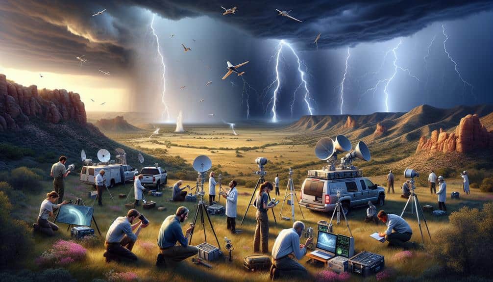
In the field, we utilize an array of instruments like anemometers, barometers, and Doppler radar devices to record wind speeds, pressure changes, and precipitation rates. This data is crucial for analyzing the behavior of storm systems. Additionally, deploying mobile weather stations allows us to capture localized meteorological phenomena that stationary systems might miss.
Field safety is paramount. We always establish clear communication protocols and equip our teams with GPS tracking devices to make certain that everyone knows each other's locations. In addition, we monitor real-time weather updates and set predefined safety zones to retreat when necessary. These measures minimize the inherent risks involved in storm chasing.
Frequently Asked Questions
What Safety Gear Should Storm Chasers Always Carry?
We should carry emergency supplies like first aid kits, water, and food. Essential tools include GPS, weather radios, and protective gear. Data shows that preparation with these items increases our safety and freedom to chase storms effectively.
How Do Storm Chasers Communicate During a Storm?
Did you know 80% of storm chasers rely on radio communication? We use emergency protocols and various communication methods like satellite phones and GPS to guarantee we stay connected and safe while tracking storms.
What Are the Legal Considerations for Storm Chasing?
When addressing the legal considerations for storm chasing, we've got to analyze liability concerns and insurance requirements. It's important to confirm we're covered to mitigate risks and protect our freedom while maneuvering severe weather conditions.
How Do Storm Chasers Handle Injuries in the Field?
When injuries occur in the field, we activate emergency response protocols and provide immediate medical assistance. By leveraging real-time data and thorough risk analysis, we maintain our freedom while prioritizing safety and effective injury management.
What Training Is Recommended for New Storm Chasers?
For new storm chasers, we recommend all-encompassing training covering weather knowledge, field experience, risk assessment, and emergency response. This blend guarantees we're equipped to analyze data, make informed decisions, and act swiftly in unpredictable scenarios.


