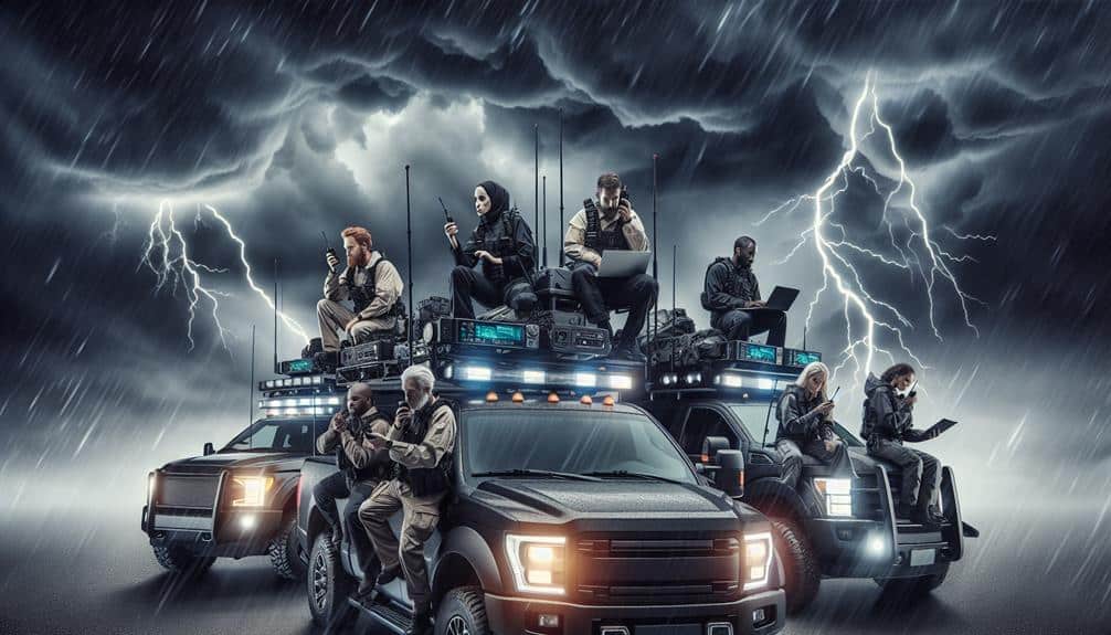
Accurately relaying location in storms involves leveraging GPS coordinates, radio communication, and mobile apps. We utilize GPS coordinates for their satellite-based precision, giving position accuracy within 3.5 to 7.8 meters, which can be critical. Radio communication on designated emergency frequencies guarantees consistent distress signals, though signal quality may fluctuate with atmospheric conditions. Using mobile apps, we get real-time GPS data and emergency notifications even offline, expanding our reach via social media integration. Mastering these methods not only optimizes our safety but also enhances the efficiency of rescue operations. Learn more about these techniques to greatly enhance storm preparedness.
Key Points
- Use GPS devices for precise location tracking, even in poor weather conditions.
- Leverage mobile apps with offline GPS tracking and real-time updates.
- Utilize designated emergency radio frequencies for standardized distress communication.
- Enable emergency notifications in mobile apps to alert contacts automatically.
GPS Coordinates
GPS coordinates provide an accurate method for pinpointing our exact location during a storm, leveraging satellite technology for precision. Utilizing a network of satellites, GPS devices calculate our position by triangulating signals. This high level of geographic tracking guarantees we've reliable data, essential for emergency response.
In emergency scenarios, the precision of GPS coordinates can be lifesaving. When storms disrupt traditional landmarks and visual cues, GPS provides a constant reference point. We can relay our exact latitude and longitude to rescue teams, ensuring they reach us swiftly and efficiently. Data from the U.S. Global Positioning System (GPS) shows accuracy within 3.5 to 7.8 meters, a vital margin during life-threatening conditions.
For those of us who crave freedom and adventure, GPS technology empowers our journeys while keeping us safe. We can explore remote areas, confident in our ability to accurately communicate our location if needed. Geographic tracking via GPS isn't just for everyday navigation; it's a tool that enhances our autonomy and guarantees our well-being in unpredictable weather.
Radio Communication
During severe weather events, radio communication serves as an essential tool for transmitting our location when other forms of communication fail. Relying on radio signals, we can bypass downed cellular networks and internet outages.
The key to effective radio communication lies in understanding signal strength and using designated emergency frequencies. Signal strength is vital; it determines the clarity and reach of our transmissions. During storms, atmospheric conditions can degrade signal quality. Thus, we must use radios with robust signal amplification capabilities and ensure our antennas are positioned optimally. A higher gain antenna can greatly enhance signal strength, improving both transmission and reception.
Emergency frequencies provide a standardized method for distress communication. For instance, the National Oceanic and Atmospheric Administration (NOAA) weather radios broadcast on specific frequencies, offering real-time updates. Similarly, amateur radio operators often use the 2-meter and 70-centimeter bands during emergencies. We should pre-program our radios with these emergency frequencies to facilitate swift communication.
Incorporating these practices guarantees we maintain a reliable means of relaying our location and receiving critical updates. As we prioritize self-reliance and the freedom to act independently, mastering radio communication becomes essential in navigating severe weather scenarios.
Mobile Apps
Leveraging mobile apps, we can utilize advanced GPS technology and real-time data to pinpoint our location and share it effectively during storms. These apps offer a high degree of precision and immediacy, which is essential when every second counts. By integrating emergency notifications and geotagging features, we guarantee our safety and stay connected with rescue teams.
Here are the key functionalities of mobile apps that enhance our ability to relay location in storms:
- Real-Time GPS Tracking: Mobile apps harness the power of GPS satellites to provide accurate, up-to-the-minute location data. This guarantees that our coordinates are always current, allowing for precise geotagging.
- Emergency Notifications: These apps can send automated alerts to emergency contacts and local authorities, containing our exact location and the nature of our distress. This rapid communication is crucial for timely rescue operations.
- Offline Capabilities: Even if cellular networks fail, many mobile apps have offline maps and GPS functionality, ensuring we can still relay our position.
- Integration with Social Media: Some apps allow us to share our location via social media platforms. This broadens the reach of our distress signal, increasing the chances of assistance from multiple sources.
Frequently Asked Questions
How Can I Ensure My Location Signal Is Strong During a Storm?
We can guarantee our signal strength and reliability during a storm by using GPS tracking devices and regularly updating our emergency contacts. This approach maximizes location accuracy and communication efficiency, securing our safety and freedom of movement.
What Backup Options Are Available if My Primary Method Fails?
When Jane's GPS failed during a storm, she relied on a pre-planned backup strategy using satellite phones. We should consider alternative methods like these to guarantee signal strength and location accuracy, maintaining our freedom to navigate safely.
How Do I Keep My Communication Devices Charged in a Power Outage?
To maintain our communication devices charged during a power outage, we should use solar chargers and power banks. Portable chargers guarantee continuous power, while emergency alerts can inform us when to conserve battery life.
Are There Any Specific Weather-Proof Devices Recommended for Storm Conditions?
Ah, the joy of stormy adventures! We recommend waterproof trackers and satellite phones. They're durable, reliable, and ideal for maintaining communication. Let's embrace the freedom to explore, even when Mother Nature's throwing her worst at us.
What Are the Best Practices for Relaying Location in Low Visibility Situations?
We should prioritize strong signal strength and clear visibility. Use reliable GPS devices and radios. Always update emergency contacts and follow strict safety precautions to guarantee accurate location relaying in low visibility situations. Your safety is paramount.