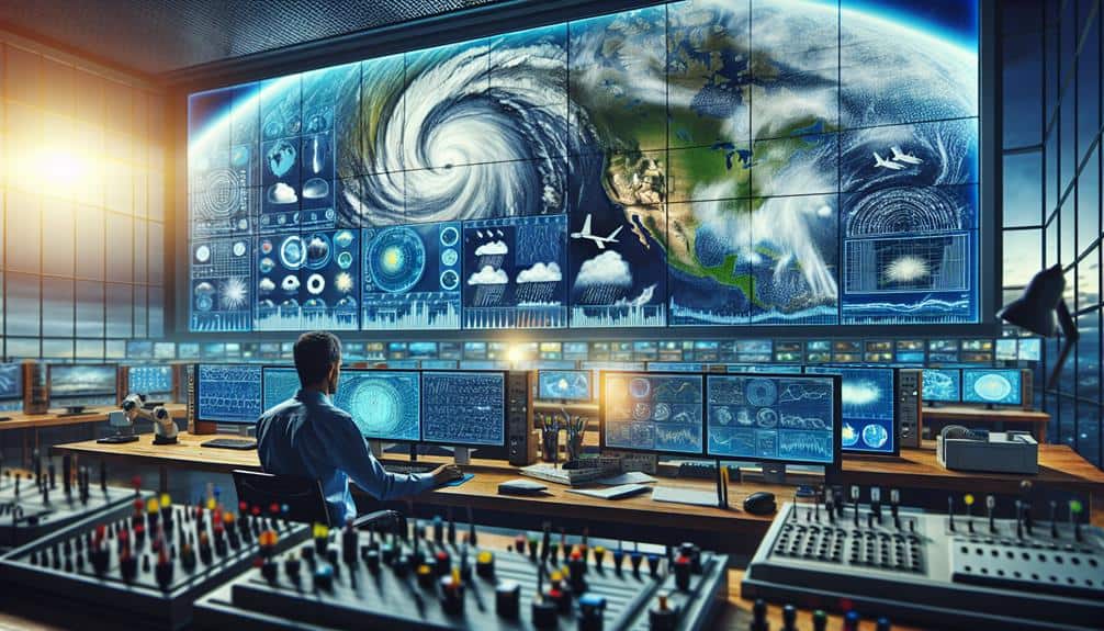
Optimizing meteorological data sources for storm chasers involves integrating satellite imagery, Doppler radar, and weather station networks to track storms with precision. We utilize satellite data to observe cloud formations and atmospheric moisture, while Doppler radar provides real-time insights on storm intensity and wind patterns. Weather station networks offer localized, accurate data, guaranteeing prompt decisions. Mobile data collection enhances real-time atmospheric analysis, and online platforms provide thorough, dynamic data visualization. Crowdsourced weather reports enrich ground-level observations, improving accuracy. By leveraging these advanced tools, we not only enhance our predictive capabilities but also ensure safer, more informed storm chasing adventures.
Key Points
- Utilize high-resolution satellite imagery for accurate storm tracking and analysis of atmospheric conditions.
- Employ Doppler radar systems for real-time data on storm intensity, wind patterns, and precipitation rates.
- Access real-time data from widespread weather station networks for precise localized forecasts.
- Integrate mobile data collection tools with high-quality sensors and GPS for on-the-go atmospheric data.
Satellite Imagery
Analyzing satellite imagery enables us to track storm development with unmatched accuracy, providing vital data on cloud formations, temperature gradients, and atmospheric moisture. By leveraging geostationary and polar-orbiting satellites, we gain extensive, real-time insights into storm dynamics, which are necessary for precise storm tracking and predicting severe weather events.
With satellite imagery, we can observe the mesoscale convective systems that often precede severe weather. High-resolution images allow us to monitor the evolution of cumulonimbus clouds, identifying supercells and other precursors to tornadoes. Thermal infrared sensors measure temperature gradients, revealing the boundary layers where warm, moist air interacts with cooler, dry air—conditions ripe for storm intensification.
Enhanced water vapor imagery provides detailed analysis of atmospheric moisture, essential for understanding the potential for heavy rainfall and flash flooding. By tracking the movement of moisture-laden air masses, we can anticipate precipitation patterns and issue timely warnings.
Satellite-based storm tracking empowers us with the freedom to make informed decisions, optimizing our strategies for storm chasing. The precision and depth of data enable us to navigate safely, maximize our observational opportunities, and contribute valuable information to the broader meteorological community.
Doppler Radar Systems
Doppler radar systems offer critical real-time data on storm intensity, wind patterns, and precipitation rates, enabling us to accurately predict and track severe weather phenomena. By emitting pulses of microwave energy and analyzing the returning signals reflected by precipitation particles, Doppler radar facilitates precise storm tracking. Recent technology advancements enhance its capability to measure the velocity and direction of storm components, providing invaluable insights for storm prediction.
Our reliance on Doppler radar systems stems from their ability to perform sophisticated data analysis, which helps us anticipate tornado genesis, hail formation, and severe thunderstorms. The dual-polarization technology, which differentiates between rain, hail, and other forms of precipitation, amplifies our capacity to dissect storm structures meticulously. This technological edge is pivotal for those of us who seek the autonomy to navigate and study storms safely and effectively.
In the domain of storm chasing, the freedom to make informed decisions hinges on the quality of our data sources. Doppler radar's real-time, high-resolution data feeds allow us to stay ahead of rapidly evolving weather conditions. By understanding the nuances of wind shear and rotation, we can deploy our strategies with enhanced precision, ensuring both our safety and the success of our missions.
Weather Station Networks
We must prioritize real-time data access from weather station networks to enhance our storm chasing capabilities.
Best station placement strategies are essential to guarantee extensive spatial coverage and accurate meteorological readings.
Real-Time Data Access
Leveraging weather station networks for real-time data access is essential for storm chasers aiming to make informed and timely decisions. Integrating these networks allows us to visualize meteorological data accurately and promptly. By employing advanced data visualization tools, we can interpret complex weather patterns swiftly, enhancing our ability to pinpoint severe weather events.
Data quality assurance is paramount in ensuring the reliability of the information we obtain. We must scrutinize the calibration and maintenance of instruments within these networks to maintain data integrity. This vigilance guarantees that our analyses are based on accurate and precise measurements, thereby improving our situational awareness and decision-making efficacy.
Here are four vital aspects to keep in mind:
- Data Latency: Minimizing the delay between data collection and availability is essential. Real-time access means we can act on the most current information, which is crucial during rapidly evolving weather scenarios.
- Coverage Density: A higher density of weather stations provides more granular data, leading to more precise localized forecasts and enhanced storm tracking capabilities.
- Integration with Predictive Models: Combining real-time data with predictive models enhances our ability to forecast storm paths and potential impacts.
- User Interface Design: Effective data visualization tools should feature intuitive interfaces, enabling us to quickly assimilate and respond to critical meteorological data.
Station Placement Strategies
Optimizing the placement of weather stations involves a strategic analysis of geographical features, population density, and historical storm data to ensure thorough and accurate meteorological coverage. We must consider various factors to enhance data accuracy and improve storm prediction capabilities.
For instance, placing weather stations in high-risk storm zones, such as tornado alleys and coastal areas prone to hurricanes, ensures we capture essential atmospheric variables.
By mapping population density, we can prioritize areas where rapid data dissemination is vital for public safety. Urban centers require a higher concentration of weather stations compared to rural areas, due to the greater potential impact on human life and infrastructure.
Historical storm data also plays a crucial role; analyzing past storm paths helps us identify patterns and optimize station placement for future events.
Additionally, elevation and topography influence weather phenomena significantly. Stations placed in diverse terrains—mountains, valleys, plains—yield detailed data sets, enhancing our understanding of localized weather patterns.
Mobile Data Collection
In the field of storm chasing, mobile data collection serves as an important tool for real-time meteorological analysis and decision-making. By integrating advanced technology with our field observations, we greatly enhance data accuracy, guaranteeing that our predictions and responses are precise and timely.
To optimize our mobile data collection efforts, we need to focus on several key areas:
- Sensor Integration: Deploying high-quality sensors on our vehicles enables us to collect a wide range of atmospheric data, including temperature, humidity, wind speed, and atmospheric pressure. This integration allows for real-time monitoring and immediate application of data.
- GPS Technology: Accurate GPS systems are crucial for pinpointing our exact location relative to the storm. This precision is essential for both safety and data correlation, ensuring that our field observations are accurately mapped and analyzed.
- Communication Systems: Reliable communication networks ensure that data collected in the field is transmitted in real-time to our central analysis hubs. This connectivity allows for dynamic adjustments to our chase strategy based on the latest data.
- Data Logging and Storage: Efficient data logging systems are important for maintaining the integrity and accessibility of collected data. This guarantees that each data point is accurately recorded, stored, and readily available for subsequent analysis.
Online Data Platforms
Online data platforms serve as essential tools for storm chasers, offering real-time access to a variety of meteorological data that enhances our predictive capabilities and situational awareness. By leveraging advanced data visualization tools, we can interpret complex atmospheric conditions with greater precision. These platforms integrate various data sources such as satellite imagery, radar data, and weather models, providing a detailed view of storm dynamics.
Data quality assessment is critical in ensuring the reliability of information we use. High-quality data minimizes uncertainty, enabling us to make well-informed decisions. Rigorous algorithms and validation techniques are employed to filter out noise and erroneous measurements, ensuring that the data we rely on is both accurate and timely.
User interface design also plays a significant role in these platforms. An intuitive interface allows us to swiftly navigate through layers of meteorological data, enhancing our ability to respond in rapidly changing conditions. Seamless data integration capabilities further improve our efficiency, as we can simultaneously analyze multiple datasets without switching between different tools or interfaces.
Crowdsourced Weather Reports
Crowdsourced weather reports provide storm chasers with real-time, ground-level observations that enhance our understanding of localized storm conditions. By leveraging the collective effort of a community, we can greatly enhance data accuracy and storm tracking capabilities.
Community engagement is pivotal, as it encourages user participation, providing us with diverse data points that validate and enrich our tracking models.
To maximize the benefits of crowdsourced reports, we should focus on the following:
- Standardization of Reports: Implement uniform reporting protocols to ensure consistency in data precision.
- Technology Integration: Utilize mobile apps and online platforms to streamline the submission and aggregation of reports.
- Training Programs: Conduct educational initiatives to improve user participation quality, emphasizing the importance of precise and precise observations.
- Feedback Mechanisms: Establish systems to provide immediate feedback to contributors, fostering continuous community engagement.
Frequently Asked Questions
How Can Storm Chasers Ensure the Accuracy of Their Data?
To guarantee our data's accuracy, we should prioritize data validation through cross-referencing multiple sources. Additionally, implementing real-time updates will enhance our ability to make timely, reliable decisions, enabling us to operate freely and effectively.
What Training Is Required to Interpret Meteorological Data Effectively?
We need thorough meteorological training to master data interpretation techniques. This includes understanding synoptic charts, radar imagery, satellite data, and numerical models, essential for making informed decisions and ensuring our freedom to chase safely and effectively.
How Do Storm Chasers Communicate in Areas With Poor Signal?
During a tornado chase in rural Oklahoma, we used signal boosters and satellite phones to stay connected. When all else failed, alternative communication methods like ham radios provided reliable, real-time updates, ensuring our safety and coordination.
What Safety Protocols Should Storm Chasers Follow During Severe Weather?
We adhere to strict safety protocols during severe weather, including emergency procedures and regular equipment maintenance. We guarantee our gear's reliability, monitor atmospheric conditions, and execute evacuation plans if necessary to maximize both safety and freedom.
How Can Storm Chasers Contribute to Scientific Research?
We revolutionize scientific research by gathering invaluable storm data, facilitating data analysis, and engaging in research collaboration. Our contributions help refine predictive models, ultimately enhancing our understanding of severe weather phenomena. Let's chase knowledge and freedom together!