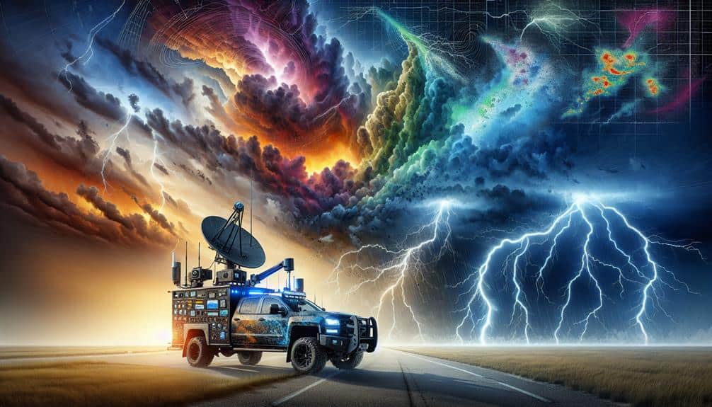
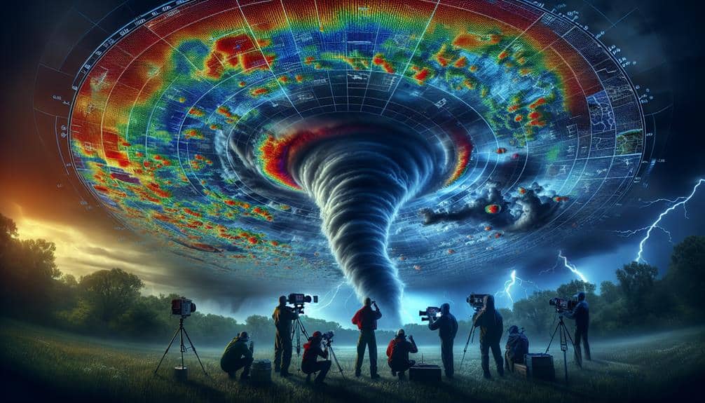
Incorporating Doppler radar into our storm chasing strategies transforms our approach by enhancing target precision and predictive accuracy. With real-time data on storm dynamics, we can analyze velocity and reflectivity patterns to identify tornado signatures and track storm paths effectively. Advanced radar technology facilitates dynamic route adjustments and quick data interpretation, ensuring timely decisions and improved safety. High-resolution radar units, portable power solutions, and robust data processing software are essential components. Leveraging these tools allows us to optimize our position and anticipate storm developments more precisely. Explore how these measures can redefine our storm chasing success.
Key Points
- Utilize real-time Doppler radar data to enhance storm tracking accuracy and positioning.
- Analyze velocity patterns to identify potential tornado signatures and mesocyclones.
- Leverage reflectivity data to assess precipitation intensity and storm development.
- Implement advanced data processing software for quick interpretation and response.
Understanding Doppler Radar
Doppler radar, an essential tool in meteorology, measures the velocity and movement of precipitation particles to provide real-time data on storm dynamics. By leveraging advanced radar technology, we can enhance our storm tracking capabilities, offering unprecedented accuracy in observing and predicting severe weather conditions. This technology uses the Doppler effect to determine the speed and direction of rain, hail, and wind, which is vital for storm prediction and weather monitoring.
This technology uses the Doppler effect to determine the speed and direction of rain, hail, and wind, which is vital for storm prediction and weather monitoring.
When we analyze Doppler radar data, we gain insights into the storm's internal structure. This allows us to identify features such as rotation, updrafts, and downdrafts, which are pivotal for forecasting tornadoes and other severe weather phenomena. The radar system sends out pulses of microwave energy, and by measuring the frequency shift of returned signals, we can calculate the velocity of precipitation particles.
For storm chasers, understanding Doppler radar is indispensable. It enables us to make informed decisions in real-time, ensuring our safety while maximizing our ability to capture significant meteorological events. By correlating radar data with other meteorological observations, we improve our storm tracking precision, providing more accurate storm predictions and better weather monitoring outcomes.
This empowers us to chase storms more effectively, embracing the freedom to explore nature's most formidable forces.
Choosing the Right Equipment
To maximize the full potential of Doppler radar in storm chasing, we must select equipment that offers high-resolution data and reliable performance under severe weather conditions. Our equipment selection process should be meticulous, focusing on radar technology that can endure the rigors of storm environments.
Here are four critical components we should consider:
- High-Definition Radar Units: We need radar systems with high spatial and temporal resolution. These units provide detailed imagery of storm structures, enabling us to make accurate decisions in real-time.
- Portable Power Solutions: Reliable power sources are crucial. We should invest in high-capacity batteries or portable generators to guarantee our radar units and other electronic devices remain operational throughout the chase.
- Sturdy Mounting Systems: The mounting systems for our radar equipment must be strong and adaptable. These systems should withstand high winds and rapid movements, guaranteeing our radar units remain stable and functional.
- Advanced Data Processing Software: To maximize the effectiveness of our radar technology, we need sophisticated software capable of processing and analyzing radar data quickly. This software should integrate seamlessly with our radar units, offering real-time insights and predictive analytics.
Analyzing Weather Patterns
Analyzing weather patterns involves interpreting the intricate data provided by Doppler radar to identify key features such as tornado signatures, wind shear, and precipitation intensity. By scrutinizing these elements, we enhance our weather forecasting capabilities, allowing us to make informed decisions on storm tracking.
Doppler radar data gives us the power to detect mesocyclones—precursors to tornadoes—by analyzing velocity patterns within storm cells. We observe the radial velocity to spot rotational structures, differentiating between inbound and outbound wind components. This helps us pinpoint areas of intense wind shear, critical for predicting severe weather events.
Precipitation intensity is another pivotal factor. Reflectivity data from the radar informs us about the type and amount of precipitation, from light rain to heavy hail. By correlating this data with real-time storm movements, we can track the storm's development and predict its path with greater accuracy.
Moreover, integrated radar data helps us identify hook echoes and debris balls, which are indicative of tornadic activity. By continuously analyzing these patterns, we refine our storm chasing strategy, ensuring that we're always a step ahead in our quest for freedom and understanding of nature's most powerful phenomena.
Enhancing Safety Measures
Securing the safety of our storm chasing team relies on leveraging real-time Doppler radar data to make immediate, informed decisions about positioning and movement. By integrating this data into our strategy, we can greatly enhance our emergency response capabilities and implement effective risk mitigation protocols.
Consider these four vital safety measures:
- Route Optimization: Using Doppler radar, we can identify the safest routes, avoiding high-risk areas prone to sudden weather changes.
- Proximity Alerts: Real-time radar allows us to set up automated alerts when a storm's trajectory shifts closer to our location, providing essential seconds for a timely response.
- Shelter Identification: Pinpointing nearby shelters becomes more efficient with radar, ensuring we've a quick retreat option.
- Communication Protocols: Enhanced data sharing among team members, facilitated by real-time radar, guarantees everyone is updated on the storm's developments, minimizing confusion and maximizing coordinated action.
These steps, supported by Doppler radar technology, strengthen our operational safety. We're not just chasing storms; we're analyzing data to stay ahead of potential threats, creating a balance between the thrill of pursuit and the necessity of safety.
Real-time Data Interpretation

How can we effectively interpret real-time Doppler radar data to make split-second decisions during storm chases?
By leveraging advanced radar technology, we can enhance our storm tracking and data analysis capabilities, allowing us to predict and intercept severe weather events with greater precision. The key lies in understanding the intricacies of Doppler radar outputs, such as velocity data, reflectivity patterns, and storm structure.
Firstly, we analyze velocity data to identify rotation within a storm—vital for detecting tornado formation. Doppler radar measures the speed and direction of precipitation particles, enabling us to pinpoint areas of concern. Reflectivity patterns provide insight into precipitation intensity and distribution, helping us discern the storm's core and potential hail zones. This information is essential for effective storm interception, allowing us to position ourselves strategically.
Moreover, by continuously monitoring radar updates, we can track storm evolution in real-time. This dynamic process guarantees we're always abreast of rapid changes, which is crucial for making informed, timely decisions.
Our analytical approach to radar data interpretation not only maximizes our storm chasing efficiency but also aligns with our pursuit of freedom and autonomy in the field.
Improving Chase Accuracy
We can improve chase accuracy by leveraging real-time data from Doppler radar, which enhances our targeting precision.
By analyzing velocity and reflectivity patterns, we can pinpoint storm developments more accurately.
Predictive path analysis further refines our ability to anticipate storm trajectories and adjust our positioning strategies effectively.
Real-Time Data Utilization
By leveraging Doppler radar's real-time data, we can greatly enhance the accuracy of our storm chasing strategies. Real-time data utilization allows us to make informed decisions on the fly, maximizing both safety and effectiveness. The key is integrating data visualization and storm prediction models to interpret intricate meteorological information swiftly.
Consider these advantages of real-time Doppler radar data:
1. Immediate Data Visualization:
We receive real-time images of storm structures, enabling us to identify rotation and other severe weather indicators immediately.
2. Improved Storm Prediction:
By updating our prediction models with live data, we can anticipate storm paths with higher precision, reducing the risk of unexpected changes.
3. Dynamic Route Adjustments:
Real-time updates allow us to change our routes promptly, avoiding hazardous conditions while staying in the best observation zones.
4. Enhanced Communication:
Sharing live radar data with the team ensures everyone is on the same page, enhancing coordination and overall chase efficiency.
Enhanced Targeting Precision
Leveraging real-time Doppler radar data significantly enhances our targeting precision, allowing for more accurate positioning and timely interventions during storm chases. By integrating this advanced technology into our strategies, we notably improve our targeting efficiency.
The granular data provided by Doppler radar enables us to monitor storm cell development in unprecedented detail. This means we can pinpoint the exact location and intensity of a storm, reducing the margin of error in our chase operations.
Our storm tracking capabilities are also elevated by Doppler radar. We can now follow the storm's movement minute by minute, adjusting our positioning dynamically. This real-time data stream allows us to anticipate shifts in the storm's path, giving us the flexibility to adapt quickly and effectively.
The increased accuracy in storm tracking not only maximizes our observational opportunities but also enhances our safety by keeping us out of the most dangerous zones.
Incorporating Doppler radar into our toolkit transforms the way we approach storm chasing. It empowers us with data-driven insights that lead to more precise targeting and efficient storm tracking, ultimately enhancing both our operational effectiveness and our experience of the chase.
Predictive Path Analysis
Integrating predictive path analysis frequently enhances our pursuit precision by utilizing historical and real-time data to forecast storm trajectories with remarkable exactness. This method leverages advanced forecasting techniques, enabling us to plot potential storm paths accurately and plan our storm interception strategies more effectively.
By relying on trajectory analysis, we can predict critical points of storm development and structure, ensuring we're in the right place at the right time.
Predictive path analysis involves several key methodologies:
- Data Integration: Combining Doppler radar data with satellite imagery, historical storm data, and real-time weather updates to generate inclusive storm models.
- Algorithmic Modelling: Using machine learning algorithms to enhance the precision of storm tracking by analyzing vast datasets and identifying patterns that human analysts might overlook.
- Simulation Tools: Employing high-resolution simulation tools to visualize storm evolution and potential pathways, providing a dynamic and adaptable forecast model.
- Risk Assessment: Continuously evaluating environmental variables and potential hazards to modify our storm interception tactics on-the-fly, ensuring both safety and effectiveness.
This data-driven approach empowers us to anticipate storm behavior with greater precision, ultimately granting us the freedom to chase storms confidently and safely, maximizing both our research outcomes and personal experiences.
Frequently Asked Questions
How Does Doppler Radar Differ From Traditional Weather Radar?
Doppler technology enhances storm tracking with greater accuracy compared to traditional weather radar. The key benefits include real-time velocity data, allowing us to predict storm paths more precisely and make informed decisions for our safety and freedom.
What Are the Costs Associated With Doppler Radar Equipment?
When discussing the Current Question, we must analyze cost considerations, including initial purchase and installation, which can surpass $100,000. Additionally, ongoing maintenance expenses, such as calibration and repairs, contribute substantially to the total financial investment required.
Can Doppler Radar Be Used in Urban Storm Chasing?
Yes, we can use Doppler radar in an urban environment for storm tracking. Its high-resolution data helps us navigate complex city landscapes by providing precise real-time information, enhancing our ability to predict and respond to urban storms effectively.
How Does Doppler Radar Impact Team Communication During a Chase?
Doppler radar enhances our team communication by providing real-time tracking of storm patterns, enabling precise data analysis and improving forecasting accuracy. This guarantees we react swiftly and make informed decisions, maximizing our efficiency and safety during a chase.
What Are the Limitations of Doppler Radar in Severe Weather Conditions?
Doppler radar accuracy decreases in extreme conditions due to signal attenuation and scattering. Doppler radar visibility can be hindered by heavy precipitation and debris, limiting our ability to accurately interpret storm intensity and structure.


