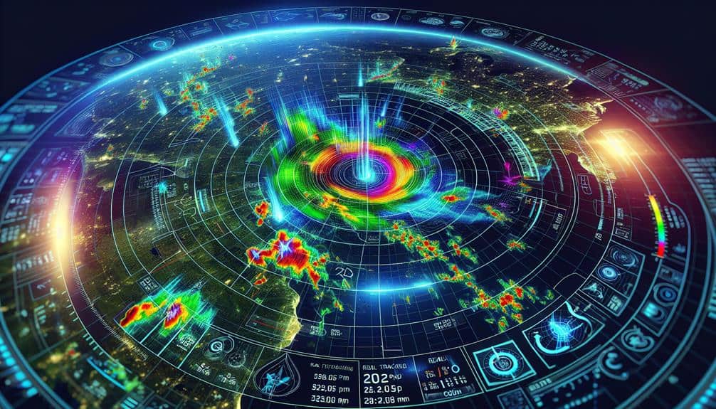
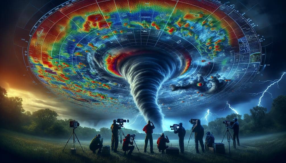
With Doppler radar, we can track storms with pinpoint accuracy in real-time, measuring their intensity, movement, and development. This technology sends radio waves to gauge object velocity, offering high-resolution data on precipitation and wind patterns. By interpreting velocity and reflectivity data, we detect severe weather signatures and rotation within storm cells, which is important for predicting tornadoes and heavy rainfall. Dual-polarization enhances our ability to differentiate between precipitation types, refining our forecasts and improving public safety. Understanding these capabilities allows us to greatly boost storm prediction accuracy and readiness. Stay tuned to master the full potential of Doppler radar.
Key Points
- Understand the Doppler effect to measure storm velocity and direction accurately.
- Utilize dual-polarization technology to differentiate precipitation types for precise weather analysis.
- Interpret radar reflectivity and velocity data to identify precipitation intensity and wind patterns.
- Recognize storm signatures, such as rotational patterns and hook echoes, for early tornado detection.
Understanding Doppler Radar Basics
At its core, Doppler radar uses the Doppler effect to measure the velocity and movement of objects, which is essential for accurate storm prediction. By sending out a burst of radio waves and analyzing how these waves bounce back from objects, we can determine their speed and direction. This principle is fundamental in radar technology, allowing us to track weather systems with precision.
In meteorological science, Doppler radar has revolutionized weather forecasting. It's not just about seeing where a storm is; it's about understanding how it's moving. By calculating shifts in frequency, we can detect whether precipitation is moving toward or away from the radar. This data is vital for predicting severe weather events, such as tornadoes, thunderstorms, and hurricanes.
We rely on Doppler radar to provide real-time information, which empowers us to make informed decisions and take timely actions. This technology plays a pivotal role in our ability to forecast weather patterns and issue warnings that can save lives. Understanding the basics of Doppler radar is a step towards mastering storm prediction and enhancing our overall preparedness for natural disasters.
Let's embrace this freedom—equipped with knowledge and foresight, we can navigate nature's fiercest challenges.
Key Features of Doppler Radar
Doppler radar's main features, including its capacity to measure speed and identify precipitation intensity, are essential for precise storm prediction and timely weather alerts. These capabilities enable us to analyze and predict severe weather conditions more effectively.
Let's break down the primary features that make Doppler radar indispensable for storm prediction techniques.
- Speed Measurement: Doppler radar gauges the velocity and direction of moving objects, like raindrops. This ability assists meteorologists in determining wind patterns and spotting potential tornado formations.
- Precipitation Intensity Detection: By evaluating the strength of the returned radar signal, we can determine the intensity of precipitation. This allows us to predict heavy rainfall, hail, and other risks accurately.
- Range Resolution: Doppler radar offers high-resolution data across a wide range. This ensures we can monitor weather systems from far distances, improving our capacity to forecast storms before they affect populated areas.
- Dual-Polarization Technology: By using both horizontal and vertical pulses, Doppler radar can distinguish between various types of precipitation—rain, snow, sleet, and so on. This detailed information is vital for refining storm prediction models and issuing precise weather warnings.
Interpreting Radar Data
Understanding how to interpret the extensive data collected by Doppler radar is the next step in leveraging its full potential for storm prediction. By mastering radar data interpretation, we can enhance our storm forecasting capabilities, providing more accurate and timely warnings.
The process begins with examining radar reflectivity, which shows the intensity of precipitation. Higher reflectivity often indicates heavier precipitation, vital for storm detection.
We then analyze velocity data, which reveals the motion of precipitation particles. This is essential for identifying wind patterns and potential rotational signatures within storms. By interpreting these data points, we can discern the storm's structure and its potential for intensification.
Furthermore, dual-polarization radar offers additional insights by differentiating between types of precipitation, such as rain, hail, or snow. This aspect of weather radar analysis allows us to refine our predictions and communicate more precise information to the public.
Identifying Severe Weather Patterns
Let's explore how we can identify severe weather patterns using Doppler radar.
We'll focus on analyzing storm signatures, spotting tornado precursors, and recognizing heavy rainfall.
Analyzing Storm Signatures
Identifying storm signatures requires analyzing specific radar patterns that indicate severe weather phenomena such as tornadoes, hail, and heavy precipitation. By examining these patterns, we can accurately assess storm intensity and predict the weather impact on affected areas.
Our approach involves interpreting radar data to identify key indicators of severe weather.
- Velocity Data: This reveals wind speed and direction, helping us detect rotational patterns that may signal tornado formation.
- Reflectivity: High reflectivity values indicate heavy precipitation or large hailstones, giving us a clear picture of storm severity.
- Dual-Polarization: This technology differentiates between types of precipitation, such as rain, snow, or hail, and improves our ability to predict storm impacts.
- Echo Tops: By measuring the height of storm tops, we gauge the potential for severe weather, as taller storms often produce more intense conditions.
Spotting Tornado Precursors
To pinpoint tornado precursors, we analyze radar data for specific rotational patterns and velocity couplets that indicate developing severe weather. By focusing on these radar signatures, we can identify the early stages of tornado formation, giving us a valuable lead time to issue warnings and take necessary precautions.
During thunderstorm development, we look for mesocyclones, which are rotating updrafts within supercells. These mesocyclones often serve as the breeding ground for tornadoes. By examining Doppler radar returns, we can detect these rotations as areas where wind velocities rapidly change direction over a short distance—known as velocity couplets. These couplets are key indicators that a thunderstorm may be evolving into a more dangerous phase.
Additionally, we pay close attention to storm structure and evolution. Hook echoes on radar reflectivity images, for example, suggest a high potential for tornado formation. These echoes resemble a hook or spiral and often accompany the rear flank downdraft wrapping around the mesocyclone. When we identify these patterns, it's time to heighten our alertness and communicate potential threats effectively.
Recognizing Heavy Rainfall
How can we effectively recognize heavy rainfall patterns using Doppler radar technology?
By examining the radar's ability to measure rainfall intensity, we can anticipate potential flood risks and take necessary precautions. Doppler radar technology offers us a comprehensive toolset to analyze severe weather patterns in real-time.
To identify heavy rainfall, we need to focus on specific radar signatures and patterns:
1. Reflectivity Values:
High reflectivity usually indicates intense rainfall. Values exceeding 40 dBZ often signal heavy rain, while values above 50 dBZ suggest torrential downpours.
2. Velocity Data:
By analyzing the movement of raindrops, Doppler radar can estimate wind speed and direction, helping us understand whether storm cells are stationary or moving—key factors in flood risk.
3. Rain Rate Algorithms:
These algorithms convert reflectivity data into estimated rainfall rates, giving us a clearer picture of the actual rainfall intensity on the ground.
4. Dual-Polarization Technology:
This advancement allows us to differentiate between rain, hail, and other precipitation types, enhancing the accuracy of our rainfall estimates.
Real-time Storm Tracking

Leveraging Doppler radar technology, we can track storms in real-time, providing vital, up-to-the-minute data for more accurate and timely predictions. By analyzing the velocity of precipitation particles within a storm system, Doppler radar applications enable us to determine storm intensity with remarkable precision.
This real-time tracking is essential for identifying the development and progression of severe weather conditions. For instance, the radar's ability to measure the frequency shift of returned signals allows us to estimate wind speeds and detect rotation within storm clouds—key indicators of potential tornado formation.
With this information, we can issue timely warnings that empower communities to take protective actions, enhancing their ability to exercise freedom in their responses.
Moreover, by continuously updating storm data, Doppler radar helps us monitor changes in storm intensity and movement. This capability is vital for tracking fast-evolving weather scenarios, ensuring that our predictions remain relevant and reliable.
As we harness this technology, we can better anticipate severe weather events and mitigate their impacts, ultimately contributing to safer and more prepared societies.
Enhancing Prediction Accuracy
Building on the real-time tracking capabilities of Doppler radar, we can greatly enhance prediction accuracy by integrating advanced algorithms and machine learning techniques to analyze complex weather patterns. This integration allows us to predict storm behavior with greater precision, giving communities more time to prepare and respond.
To maximize the effectiveness of this approach, we should focus on the following key areas:
- Improving Algorithms: By refining the algorithms that interpret Doppler radar data, we can reduce false positives and enhance the clarity of storm predictions. This involves continuous updates and testing to guarantee accuracy.
- Utilizing Advanced Technology: Incorporating high-performance computing and sophisticated data analysis tools allows us to process massive datasets quickly and accurately. This speeds up the prediction process and improves the reliability of our forecasts.
- Machine Learning Models: Training machine learning models on historical weather data can enable the system to recognize patterns and predict future storm behavior more effectively. This adaptive learning approach helps in fine-tuning predictions over time.
- Collaborative Efforts: Working with meteorological agencies, academic researchers, and technology experts can foster innovation and ensure the latest advancements are being applied effectively.
Frequently Asked Questions
How Does Doppler Radar Technology Differ From Traditional Radar Systems?
Doppler radar technology differs from traditional radar systems by measuring velocity and direction of targets. Its advantages include precise storm tracking, but disadvantages involve higher costs. Doppler radar applications and future advancements promise greater accuracy and reliability.
What Are the Limitations of Doppler Radar in Storm Prediction?
We've analyzed the limitations of Doppler radar in storm tracking. While it's excellent at detecting velocity patterns, its accuracy validation struggles with small-scale phenomena and complex terrain. These factors can compromise precise storm prediction, affecting our freedom to prepare.
How Do Meteorologists Validate Doppler Radar Data for Accuracy?
When we validate Doppler radar data, we use a bit of scientific magic called data verification and radar calibration. By comparing radar readings with ground observations and satellite data, we guarantee accuracy and reliability in our storm predictions.
What Are the Maintenance Requirements for Doppler Radar Systems?
We need regular inspections, calibration, weatherproofing, and antenna maintenance to keep Doppler radar systems operational. By ensuring these tasks, we can maximize accuracy and reliability, granting us the freedom to make informed decisions based on precise weather data.
Can Doppler Radar Detect Tornadoes in Their Early Stages?
Let's cut to the chase: Doppler radar can indeed detect tornado formation in their early stages. By identifying rotation patterns and velocity changes, we enhance early detection, giving communities more time to seek safety and freedom.


