By utilizing Doppler radar techniques, we enhance lightning prediction accuracy through the real-time analysis of precipitation particle velocity and storm dynamics. Reflectivity patterns indicate precipitation intensity, aiding in identifying updrafts, while Doppler velocity measurements assess wind shear and storm dynamics. Key metrics like electric field strength and CAPE, combined with radar data, refine prediction models. Algorithm optimization and iterative machine learning further improve predictive reliability. As we integrate these advanced techniques, our ability to anticipate lightning strikes becomes more precise and actionable, revealing deeper insights into atmospheric phenomena.
Key Points
- Integrate CAPE data with Doppler radar readings to enhance lightning prediction accuracy.
- Analyze high reflectivity regions to identify strong updrafts and potential lightning zones.
- Use Doppler velocity measurements to detect wind shear and storm dynamics related to lightning.
- Apply machine learning techniques to refine predictive models using real-time Doppler radar data.
Understanding Doppler Radar
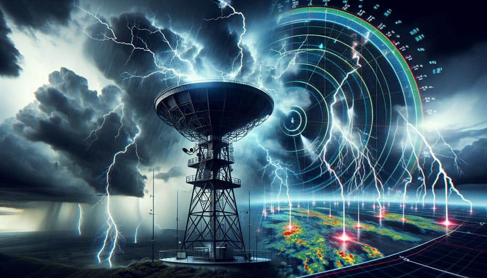
Doppler radar, leveraging the Doppler effect, enables us to measure the velocity of precipitation particles, which is essential for accurate weather forecasting. By emitting microwave signals that reflect off raindrops, snowflakes, or hailstones, we can analyze the frequency shift of these returned signals. This shift, a direct consequence of the Doppler effect, provides critical velocity data of the precipitation particles.
Understanding radar technology requires us to explore the intricacies of signal transmission and reception. We emit a pulse of energy that travels through the atmosphere, encountering precipitation particles along its path. These particles scatter the signal, sending a portion back to the radar. By precisely measuring the time delay and frequency shift of these returned signals, we obtain not only the location but also the velocity of the particles.
Doppler effect applications extend beyond meteorology. However, in weather forecasting, this technology gives us the freedom to predict storm movements and intensities with unprecedented accuracy. By continuously monitoring these variables, we can issue timely warnings, potentially saving lives and property.
In mastering the complexities of radar technology, we empower ourselves to harness the full potential of Doppler radar in weather prediction.
Key Metrics in Lightning Prediction
Accurate lightning prediction hinges on analyzing key metrics such as electric field strength, atmospheric instability indices, and convective available potential energy (CAPE). By monitoring these variables, we can greatly enhance our prediction accuracy. Electric field strength is critical since it directly correlates with the potential for lightning discharge. We measure this using ground-based sensors and atmospheric probes, translating raw data into actionable insights.
Atmospheric instability indices, like the Lifted Index (LI) and K-Index, offer a snapshot of the atmosphere's tendency to produce thunderstorms. These indices quantify the vertical temperature gradient, identifying regions where warm, moist air is likely to rise and create storm conditions. The higher the instability, the higher the likelihood of lightning frequency.
CAPE is another essential metric, representing the energy available for convection. High CAPE values indicate a strong potential for severe thunderstorms, directly impacting our models for lightning occurrence. By integrating CAPE data with Doppler radar readings, we refine our forecasts, improving both timeliness and reliability.
We employ these key metrics to construct robust predictive models, enhancing our ability to warn communities and safeguard lives. Our goal is to achieve unparalleled prediction accuracy, minimizing the risks associated with lightning events.
Radar Signal Interpretation
In interpreting radar signals, we focus on analyzing reflectivity patterns to detect precipitation intensity and distribution.
Doppler velocity insights help us assess wind speeds and directions within storm systems, pivotal for understanding storm dynamics.
Analyzing Reflectivity Patterns
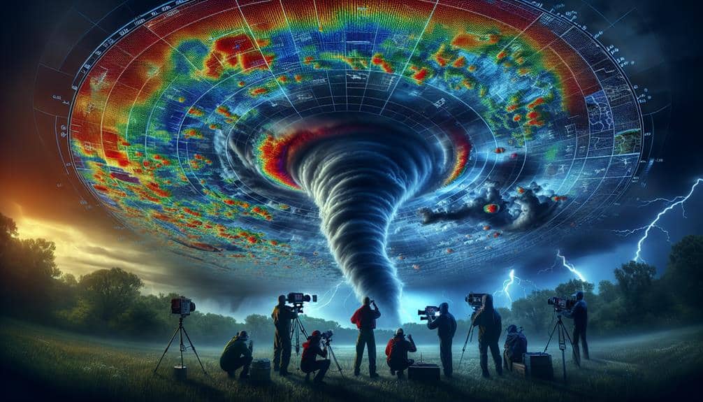
By scrutinizing the reflectivity patterns on Doppler radar, we can decipher the intensity and distribution of precipitation, which are vital for predicting lightning activity. Reflectivity analysis allows us to measure the returned signal strength from precipitation particles. Higher reflectivity values generally indicate heavier precipitation, which correlates with increased convective activity—a pivotal factor in lightning formation.
In our analysis, we observe that regions exhibiting high reflectivity are often associated with strong updrafts and downdrafts. These dynamic atmospheric conditions facilitate the separation of positive and negative charges within storm clouds, a precursor to lightning strikes. By mapping these reflectivity patterns, we can identify potential hotspots for lightning, thereby enhancing our predictive capabilities.
Moreover, reflectivity data provides spatial and temporal insights, allowing us to track storm evolution in real-time. This granularity in data is essential for identifying rapid intensification of storms, which often precedes lightning events.
Doppler Velocity Insights
Doppler velocity measurements enable us to assess the motion of precipitation particles, providing critical insights into wind patterns and storm dynamics essential for lightning prediction. By analyzing Doppler velocity trends, we can interpret the complex motions within a storm system. These trends reveal critical information, such as wind shear, turbulence, and potential updrafts—key factors that influence lightning patterns.
Our radar applications leverage these measurements to dissect storm dynamics with precision. For example, sustained high-velocity regions often indicate strong updrafts, which are conducive to lightning formation. Conversely, areas of divergent velocity can signal downdrafts, impacting the storm's electrical activity differently.
By integrating Doppler velocity data with other meteorological parameters, we refine our predictive models. This holistic approach not only enhances our understanding of storm structures but also allows us to forecast lightning occurrences with greater accuracy. We harness the power of radar to decode the atmospheric intricacies, thereby empowering us to make informed decisions.
In essence, Doppler radar applications serve as a pivotal tool in our quest to predict lightning. The insights gleaned from Doppler velocity trends are indispensable for advancing our capabilities in storm analysis and ultimately safeguarding communities.
Identifying Storm Signatures
Decoding radar signal signatures allows us to identify key storm features such as mesocyclones, hail cores, and gust fronts with remarkable precision. By interpreting these signatures, we enhance our storm tracking capabilities and gain insights into lightning behavior.
For instance, a mesocyclone, a precursor to tornado formation, is discernible through radial velocity patterns. Hail cores present as high reflectivity regions, indicating potential severe weather and lightning activity.
We employ advanced predictive modeling techniques to analyze these atmospheric conditions. By integrating Doppler radar data, we can forecast storm evolution and potential lightning events with greater accuracy. This modeling enables us to anticipate changes in storm intensity and structure, providing essential lead time for safety measures.
Our data analysis focuses on identifying specific radar return patterns that correlate with severe weather phenomena. For example, gust fronts are detected by sharp gradients in velocity fields, signaling sudden wind shifts. Understanding these patterns allows us to refine our lightning prediction algorithms.
In essence, our approach combines technical expertise with cutting-edge data interpretation, empowering us to predict and respond to lightning threats more effectively. This not only safeguards communities but also grants us the freedom to make informed decisions in dynamic atmospheric conditions.
Enhancing Prediction Accuracy
To enhance prediction accuracy, we must integrate real-time data analysis with advanced algorithm optimization techniques.
By leveraging high-resolution Doppler radar data, we can refine our models to better capture the atmospheric conditions preceding lightning events.
This approach allows us to improve both the reliability and timeliness of our lightning forecasts.
Real-time Data Analysis
Leveraging real-time data analysis, we can greatly enhance the accuracy of lightning prediction by processing Doppler radar outputs with advanced algorithms. By integrating machine learning techniques, we're able to analyze vast amounts of meteorological data swiftly and accurately. These algorithms identify patterns and anomalies within Doppler radar data that human analysis might miss, thereby increasing the precision of lightning forecasts.
Real-time data analysis also benefits from sophisticated data visualization tools. By presenting data in intuitive, graphical formats, we can quickly interpret complex relationships and trends. These visualizations enable us to make informed decisions rapidly, ensuring timely warnings and preventive measures.
Our approach involves continuously feeding Doppler radar data into machine learning models, which are trained to predict lightning events based on historical data and real-time atmospheric conditions. This iterative process enhances the model's predictive capabilities, making it more robust with each cycle of data input and analysis.
Moreover, the use of real-time data analysis supports dynamic adjustments to our predictive models. As new data is received, our algorithms adapt, reflecting the current atmospheric state more accurately. This flexibility empowers us to deliver highly reliable lightning predictions, ultimately safeguarding lives and property while respecting the freedom of individuals to act on timely information.
Algorithm Optimization Techniques
We employ advanced algorithm enhancement techniques, such as gradient descent and genetic algorithms, to refine our lightning prediction models, enhancing their accuracy and reliability. By leveraging these sophisticated methods, we can iteratively adjust model parameters to minimize prediction error.
Gradient descent, for instance, allows us to converge on an ideal solution by systematically reducing the prediction error through calculated steps. Meanwhile, genetic algorithms simulate evolutionary processes, selecting the most promising solutions from a pool of possibilities and combining them to yield superior models.
In our data processing pipeline, we integrate these enhancement techniques with machine learning frameworks. This combination allows us to handle large datasets from Doppler radar systems efficiently, ensuring that our models are both robust and scalable. The enhanced data processing capabilities facilitate real-time updates to our prediction algorithms, making them adaptable to new patterns and trends in lightning activity.
Furthermore, these improved algorithms enable us to extract more meaningful insights from the data. This not only boosts the precision of our lightning forecasts but also empowers users by providing them with reliable information to make informed decisions. Our commitment to improving algorithm performance underscores our dedication to delivering high-quality, actionable predictions.
Case Studies and Examples

Several recent studies highlight how Doppler radar advancements have greatly enhanced the accuracy of lightning prediction models. By integrating machine learning algorithms with Doppler radar data, we've observed significant improvements in understanding lightning behavior and storm tracking. This fusion allows us to detect anomalies and predict lightning strikes with unprecedented precision.
Consider these four case studies:
- Tornado Alley Analysis: Utilizing Doppler radar and machine learning, we analyzed thousands of storm events in Tornado Alley. The system accurately identified lightning patterns preceding tornadic activity, enhancing early warning systems.
- Florida's Lightning Capital: In Florida, known for its frequent lightning, Doppler radar combined with anomaly detection techniques enabled more precise storm tracking. This resulted in a 30% increase in prediction accuracy for lightning strikes.
- Urban Heat Island Effect: Studies in metropolitan areas revealed that Doppler radar, paired with machine learning, successfully isolated lightning behavior anomalies influenced by urban heat islands, providing essential insights for city planners.
- Mountainous Terrain Challenges: High-altitude regions often pose difficulties for traditional prediction methods. However, Doppler radar advancements have improved lightning forecasts in these areas, making outdoor activities safer.
These examples underscore the transformative impact of Doppler radar in enhancing our predictive capabilities, empowering individuals and communities with the freedom to better prepare and respond.
Future of Radar Technology
As advancements in radar technology continue to accelerate, the integration of quantum computing and artificial intelligence promises to revolutionize our lightning prediction capabilities even more.
Radar innovation is paramount, and these technological advancements will enhance our data interpretation methods significantly. By leveraging quantum computing's immense processing power, we can analyze complex weather patterns at unprecedented speeds, leading to more accurate and timely weather forecasting.
Artificial intelligence, particularly machine learning algorithms, will play an essential role in interpreting vast amounts of radar data. These algorithms can identify subtle patterns and correlations that human analysts might miss, thereby improving our prediction models. Moreover, AI can continuously learn and adapt from new data, ensuring our forecasting techniques evolve with changing climatic conditions.
The future of radar technology also includes the development of more sophisticated Doppler radar systems. These systems will provide higher resolution data, allowing us to detect lightning precursors with greater precision. Enhanced radar innovation means we can better predict the onset of severe weather, giving communities more time to prepare and respond.
Frequently Asked Questions
How Does Lightning Affect Aviation Safety and Flight Operations?
Like Icarus, we must be cautious. Lightning hazards pose significant threats to aviation safety, disrupting flight operations. Advanced lightning detection systems enhance our ability to mitigate these risks, ensuring smoother and safer travel for all.
What Role Do Ground-Based Sensors Play in Complementing Doppler Radar Data?
Ground-based sensors enhance our lightning detection capabilities by providing real-time, localized data. They complement Doppler radar by offering precise strike location and intensity, improving predictive models and ensuring safety measures are more accurately implemented.
How Can Mobile Applications Utilize Doppler Radar Data for Public Safety?
We can revolutionize public safety by using mobile apps to harness Doppler radar data, delivering real-time alerts for outdoor events. This precision protects lives, granting unparalleled freedom to enjoy our activities without fear of sudden weather threats.
Are There Any Environmental Impacts of Using Doppler Radar Technology?
We need to assess the environmental impacts of Doppler radar technology. First, wildlife disturbance can occur near radar installations. Second, energy consumption is significant, requiring efficient designs to minimize ecological footprints while maximizing predictive capabilities.
What Training Is Required for Meteorologists to Interpret Doppler Radar Data Accurately?
Interpreting Doppler radar data is like reading nature's heartbeat. Our meteorologist training involves mastering radar interpretation, understanding atmospheric dynamics, and honing analytical skills to guarantee accurate predictions. Freedom comes from knowledge, empowering us to foresee storms.


