We utilize advanced radar systems, satellite imagery, and weather modeling software to analyze storm severity, focusing on metrics like wind speed, barometric pressure, and precipitation rates. Identifying wind shear, low-pressure systems, and temperature gradients enables us to predict storm evolution and its potential impact. Doppler radar and GIS visualization help map storm trajectories, ensuring precise risk assessment. By incorporating real-time data and historical patterns through machine learning algorithms, we enhance our predictive models. Adopting robust safety protocols, including seamless communication and emergency kits, mitigates risks. Explore further to grasp the sophisticated techniques and tools we employ in storm chasing.
Key Points
- Wind Speed and Patterns: High wind speeds and specific patterns indicate severe storms and help predict their evolution.
- Barometric Pressure: Low barometric pressure signals unstable weather and higher storm severity.
- Humidity and Temperature Gradients: High humidity levels and sharp temperature contrasts enhance atmospheric instability, critical for risk assessment.
- Real-Time Data Monitoring: Utilizing advanced radar and satellite imagery provides real-time insights into storm intensity and movement.
Understanding Storm Intensity
To understand storm intensity, we must analyze key metrics like wind speed, barometric pressure, and precipitation rates. By examining wind patterns and pressure systems, we can predict how a storm will evolve.
Wind patterns, particularly the speed and direction, offer insights into the storm's potential impact. High wind speeds often correlate with more significant storms, while shifts in direction can indicate changes in storm trajectory.
Barometric pressure is another vital factor. Low pressure systems typically signal severe weather, as they create conditions conducive to strong winds and heavy precipitation. Monitoring pressure systems allows us to forecast storm movements with greater accuracy.
Cloud formations and temperature gradients also play significant roles. Specific cloud types, such as cumulonimbus clouds, are often associated with severe weather. By studying these formations, we gain valuable information about the storm's development phase.
Temperature gradients between different air masses can drive storm activity. Sharp temperature contrasts often lead to increased instability, fueling storm intensity.
Key Indicators of Severe Weather
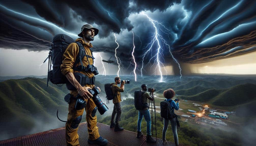
Identifying key indicators of severe weather involves analyzing real-time data on wind shear, humidity levels, and atmospheric instability. When we're out storm chasing, understanding these elements can mean the difference between a thrilling experience and a dangerous situation.
Let's dissect what to watch for:
- Wind patterns: We monitor wind direction and speed at various altitudes to assess the potential for severe weather. Rapid changes can indicate wind shear, a critical factor in storm development.
- Atmospheric pressure: Low-pressure systems often signal unstable weather. A sudden drop in atmospheric pressure can forewarn us of a developing storm.
- Humidity levels: High humidity provides the moisture necessary for storm formation. We track dew point temperatures to gauge this factor.
- Temperature gradients: Sharp contrasts in temperature between different air masses can enhance atmospheric instability, a precursor to severe storms.
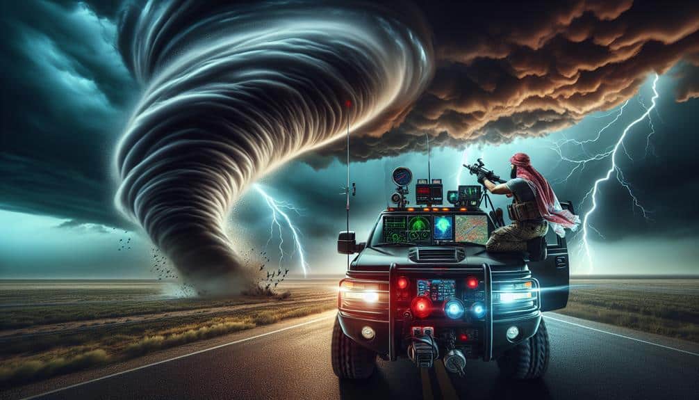
Tools for Storm Analysis
We utilize a combination of advanced radar systems, satellite imagery, and weather modeling software to analyze storm severity with high precision. These tools provide us with a thorough dataset, enabling us to predict storm characteristics and potential impact zones.
High-resolution radar systems, such as Doppler radar, allow us to capture detailed wind patterns and precipitation intensity, important for understanding a storm's internal dynamics.
Satellite imagery offers a broader perspective through remote sensing, giving us real-time data on cloud formations, temperature differentials, and moisture levels. This data is essential for tracking storm development and movement over large geographic areas.
Weather modeling software, like the WRF (Weather Research and Forecasting) model, integrates this information to simulate storm behavior, offering predictive insights with high temporal and spatial resolution.
Data visualization plays a significant role in our analysis. By converting raw data into graphical formats, we can quickly identify trends and anomalies. Tools like GIS (Geographic Information Systems) help us map storm trajectories and potential risk areas, facilitating better decision-making.
Our analytical precision, grounded in robust data and cutting-edge technology, empowers us to navigate the volatility of severe weather with confidence and informed strategizing.
Safety Protocols for Chasers
While our advanced tools provide critical insights into storm behavior, ensuring the safety of storm chasers requires stringent safety protocols grounded in empirical data and best practices. By adhering to these protocols, we can maximize both our safety and the quality of our data collection.
Firstly, our emergency response strategies must be robust and well-coordinated. We need to prepare for unforeseen events and have contingency plans in place.
Additionally, our communication strategies should be seamless, ensuring that all team members are on the same page, even in rapidly changing conditions. Here are five key elements we follow:
- Real-time data monitoring: Continuously track storm data to make informed decisions.
- Pre-chase briefings: Conduct detailed briefings to outline potential risks and safety measures.
- Emergency kits: Equip vehicles with essential supplies like first aid, water, and tools.
- Designated roles: Assign clear roles to each team member to streamline operations and enhance response efficiency.
Forecasting and Predictive Models

Leveraging advanced forecasting and predictive models allows us to anticipate storm patterns with high accuracy, enabling timely and data-driven decision-making. Our approach integrates machine learning algorithms with extensive historical data to identify and predict complex climate patterns. This fusion of data interpretation and computational power enhances our capacity to foresee storm severity and trajectory.
We start by analyzing historical data, encompassing decades of climate patterns and storm records. Machine learning models, such as neural networks and decision trees, process this vast dataset, revealing trends and correlations that traditional methods might overlook. The predictive accuracy of these models hinges on their ability to learn from past events and adapt to new data inputs continuously.
Data interpretation is critical in transforming raw data into actionable insights. By leveraging machine learning, we can generate predictive models that not only forecast storm developments but also assess their potential impact. This predictive capability empowers us to make swift, informed decisions, aligning with our goal of minimizing risk while maximizing the freedom to chase storms effectively.
Ultimately, our data-driven, analytical precision in forecasting augments our ability to navigate the unpredictable nature of storms, ensuring that we're always a step ahead in our storm-chasing endeavors.
Frequently Asked Questions
How Do Storm Chasers Communicate While in the Field?
We use advanced communication methods, including radios and mobile apps, to guarantee real-time updates and safety protocols. Employing cutting-edge technology and coordination strategies, we enhance our situational awareness and maintain constant contact for maximum efficiency and freedom.
What Are the Psychological Impacts of Storm Chasing?
We theorize the psychological impacts of storm chasing involve a complex interplay of mental health factors. The adrenaline rush fuels both excitement and fear, creating a unique balance. Data shows increased stress levels but also heightened feelings of freedom.
How Does Storm Chasing Insurance Work?
Storm chasing insurance involves calculating premium rates based on risk factors and establishing coverage limits tailored to our specific needs. This guarantees we're financially protected while enjoying the freedom to pursue our passion for storm chasing.
What Are the Legal Requirements for Storm Chasers?
We need to obtain permits, understand regulations, and adhere to local laws. Compliance guarantees safety and legal protection. Each state has specific requirements; failing to follow them could result in fines or revoked privileges.
How Do Storm Chasers Fund Their Expeditions?
To fund our expeditions, we employ diverse fundraising strategies and seek sponsorship opportunities. Effective financial planning is essential to cover expedition costs, ensuring we can chase storms without compromising our freedom or the quality of our data collection.