We've seen a significant evolution in our hurricane research techniques. Early methods relied on ship logs and barometric readings, whereas now, we utilize sophisticated satellite imagery, Doppler radar, and machine learning algorithms. Real-time high-resolution data collection from airborne investigations and deployable sensors provide us with unprecedented accuracy. Our computer models leverage dynamic simulations and high-resolution grid mapping to refine predictions constantly. The integration of advanced tracking technologies and real-time analytics revolutionizes our understanding and response strategies. For a thorough view of these milestones and innovations, there's a lot more to explore in this fascinating field.
Key Points
- Early research relied on ship logs, barometric readings, and anecdotal reports to construct rudimentary storm models.
- Satellite imagery and radar systems have revolutionized hurricane research with real-time high-resolution data collection.
- Modern data collection employs advanced aircraft, drones, and deployable sensors for comprehensive atmospheric analysis.
- Computer models now integrate high-resolution grid mapping and machine learning for dynamic hurricane simulations.
Early Observations
In the early days of hurricane research, we relied heavily on ship logs, barometric readings, and anecdotal reports to track and understand these powerful storms. These early techniques were foundational, offering significant historical value as they laid the groundwork for modern meteorology.
Mariners meticulously documented their encounters with hurricanes, noting wind speed, direction, and barometric pressure changes. These ship logs became invaluable observational methods, allowing us to piece together the behavior and paths of early hurricanes.
Barometric readings, often taken with rudimentary instruments, provided vital data points. We analyzed these readings to identify pressure drops, a key indicator of an approaching storm. Anecdotal reports from coastal residents and sailors supplemented these data sources, adding qualitative insights that often confirmed or clarified quantitative data.
Early research had its limitations, but these observational methods were essential for developing our understanding of hurricane dynamics. By cross-referencing various data sources, we could construct rudimentary models of storm patterns and intensities.
This era of hurricane research holds historical significance, as it represents our initial steps towards mastering the science of meteorology. Our pursuit of knowledge was driven by a desire for freedom from nature's unpredictable fury.
Technological Advancements
Building on the foundations laid by early observational methods, we now leverage advanced technologies like satellite imagery, radar systems, and computer models to enhance our understanding and prediction of hurricanes.
Our deployment of sophisticated sensor technology provides us with real-time, high-resolution data essential for analyzing storm dynamics. These sensors, embedded in both terrestrial and space-based platforms, capture critical parameters such as wind speed, humidity, and temperature gradients, thereby enriching our datasets.
The integration of data analytics has revolutionized how we interpret this information. By employing machine learning algorithms and predictive models, we can now generate more accurate forecasts and track hurricane paths with greater precision. These capabilities empower us to identify patterns and anomalies that were previously undetectable, offering deeper insights into hurricane formation and behavior.
Moreover, the synergy between satellite imagery and radar systems allows us to monitor hurricanes continuously, even in remote oceanic regions. This seamless data flow, combined with our advanced analytical tools, facilitates timely and informed decision-making. As a result, we're better equipped to mitigate risks and protect communities, aligning with our pursuit of freedom and safety in the face of natural disasters.
Airborne Investigations
Our airborne investigations utilize advanced aircraft equipped with sophisticated instrumentation to penetrate the core of hurricanes and gather vital data on storm structure and intensity. By executing precise storm penetration maneuvers, we collect high-resolution data essential for understanding the dynamic processes within these formidable weather systems.
Through direct atmospheric sampling, we capture essential parameters such as wind speed, pressure, temperature, and humidity. These measurements are integral to our research applications, enabling us to construct detailed profiles of hurricane behavior. We utilize dropsondes, which are deployable sensors released from aircraft, to obtain vertical profiles of the storm environment. These tools provide real-time data that greatly enhance our predictive models and improve our understanding of storm evolution.
Our data collection efforts are thorough and meticulous. High-definition radar systems onboard our aircraft allow us to visualize the internal structure of the hurricane, identifying features like the eye wall and rainbands. This information is crucial for refining computer simulations and developing robust forecasting techniques.
Satellite Monitoring
Satellite monitoring has revolutionized hurricane research with real-time data collection, advanced imaging technology, and significant strides in predictive modeling.
We can now analyze high-resolution images and gather continuous data on storm development and intensity.
This technological leap enables us to enhance forecast accuracy and improve disaster preparedness.
Real-Time Data Collection
Harnessing advanced satellite monitoring, we've significantly improved our ability to gather real-time data on hurricanes, leading to more precise forecasting and analysis. By utilizing remote sensing technologies, we can continuously capture vital information such as wind speed, atmospheric pressure, and precipitation rates. These satellite-based observations play a crucial role in providing a thorough understanding of hurricane dynamics.
The real-time data we collect are immediately fed into sophisticated data analysis models. This allows us to predict the path and intensity of hurricanes with greater accuracy. For example, the integration of high-resolution imagery and multi-spectral sensors enables us to detect subtle changes in storm structure and behavior. This data-driven approach guarantees that we can issue timely warnings, thereby giving communities the freedom to prepare and respond effectively.
Furthermore, the continuous stream of satellite data allows us to monitor hurricanes over vast oceanic expanses where traditional ground-based observations are unfeasible. This capability is essential for tracking the development of storms from their early stages.
As we enhance our remote sensing and data analysis techniques, we're not only improving our predictive accuracy but also empowering individuals and organizations to make informed decisions and safeguard lives.
Advanced Imaging Technology
Building on our real-time data collection capabilities, we now employ advanced imaging technology through satellite monitoring to obtain an unprecedented level of detail in hurricane observation. Leveraging remote sensing and radar technology, we can capture high-resolution images and data that reveal the intricate dynamics of hurricanes. This allows us to analyze storm structures, wind patterns, and precipitation rates with remarkable precision.
Satellite monitoring provides several advantages over traditional methods:
- Global Coverage: Satellites offer the ability to observe hurricanes anywhere in the world, ensuring that no storm goes unnoticed.
- High Temporal Resolution: Frequent updates (as often as every few minutes) enable us to track rapid changes in storm intensity and trajectory.
- Multi-Spectral Imaging: By capturing data across different wavelengths, we gain insights into various aspects of hurricanes, including sea surface temperatures and cloud compositions.
- Three-Dimensional Analysis: Using radar technology, we can create 3D models of hurricanes, helping us understand their vertical structure and the interactions between different atmospheric layers.
These advancements in remote sensing and radar technology empower us to conduct more precise and detailed hurricane research. Our improved understanding enables better forecasting and, ultimately, enhances our ability to protect lives and property.
Predictive Modeling Advances
In recent years, we've made significant strides in predictive modeling by integrating high-resolution satellite data, enabling more accurate forecasts of hurricane behavior and potential impact. This integration allows us to capture real-time atmospheric conditions with unprecedented precision. By leveraging machine learning algorithms, we can now analyze vast datasets from satellites to identify patterns and predict hurricane trajectories more effectively.
Our models employ sophisticated statistical analysis techniques to process and interpret satellite-derived information such as sea surface temperatures, wind speeds, and moisture levels. These variables are critical in understanding the genesis and evolution of hurricanes. Machine learning enhances our ability to refine these models continuously, adapting to new data inputs and improving forecast accuracy.
Moreover, the incorporation of satellite monitoring into predictive modeling doesn't just enhance accuracy—it accelerates response times. When we detect anomalies early, we can issue timely warnings, giving communities more freedom to prepare and mitigate potential damage. This data-driven approach empowers us to manage risks more effectively, safeguarding lives and property.
As we continue to refine these techniques, our ability to predict and respond to hurricanes will only grow more robust, offering a greater sense of security and autonomy for everyone involved.
Computer Modeling

Through the integration of complex algorithms and real-time data, computer modeling has revolutionized our ability to predict hurricane trajectories and intensities with increasing accuracy. By leveraging advanced data integration techniques, we can achieve unprecedented simulation accuracy. This enhancement allows us to better understand the myriad factors influencing hurricanes, from atmospheric pressure variations to ocean surface temperatures.
To maintain and improve forecast reliability, model validation is essential. We constantly compare our computer-generated predictions against actual hurricane paths and behaviors. This process enables us to fine-tune our models, ensuring that each iteration offers more precise forecasts. Our continuous efforts in model validation directly contribute to forecast improvement.
Key advancements in computer modeling include:
- Enhanced Data Integration: Utilizing satellites, radar, and ocean buoys to feed real-time data into our models.
- Dynamic Simulation Algorithms: Developing algorithms that account for non-linear interactions within the storm system.
- High-Resolution Grid Mapping: Increasing grid resolution to capture finer details of storm structure and movement.
- Machine Learning Applications: Applying machine learning to identify patterns and refine predictive capabilities.
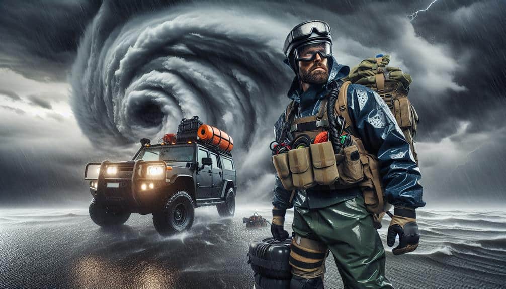
Modern Storm Chasing
In modern storm chasing, we've integrated advanced tracking technologies that enhance our ability to monitor hurricanes accurately. By collecting real-time data, we can analyze storm behavior with unprecedented precision.
Additionally, innovations in safety protocols guarantee that our research teams can gather critical information while minimizing risk.
Advanced Tracking Technologies
Leveraging cutting-edge satellite imagery and Doppler radar, we can now predict hurricane paths with unparalleled accuracy and speed. Integrating remote sensing technologies allows us to collect vast amounts of data from the atmosphere and ocean surfaces. Combining this data with advanced data analytics, we can model and forecast hurricane trajectories with remarkable precision.
Our modern storm tracking capabilities have evolved significantly, thanks to several key advancements:
- Satellite Imagery: High-resolution satellites provide continuous real-time data, enabling us to monitor storm formation and progression from space. This helps in identifying potential threats early on.
- Doppler Radar: By measuring the velocity and reflectivity of precipitation, Doppler radar gives us essential insights into a storm's intensity and structure. This data is vital for accurate short-term predictions.
- Numerical Weather Prediction Models: Utilizing complex algorithms and historical data, these models simulate atmospheric conditions and predict future states, improving our forecasting reliability.
- Machine Learning Algorithms: By analyzing patterns in historical storm data, machine learning enhances our predictive models, leading to more precise and timely forecasts.
Through these advanced tracking technologies, we empower ourselves with the freedom to make informed decisions, enhancing our preparedness and resilience against hurricane threats.
Real-Time Data Collection
Modern storm chasing employs real-time data collection techniques that allow us to gather vital information directly from within hurricanes. We utilize remote sensing technologies such as Doppler radar and satellite imagery to track storm movements and intensify patterns with high precision. These tools provide us with immediate data feeds, enabling us to analyze storm dynamics in real time.
Drones equipped with advanced sensors are deployed into the heart of hurricanes, transmitting atmospheric pressure, temperature, and wind speed data. This real-time influx of data is essential for our data analytics processes, allowing us to predict storm paths and potential impact zones with unprecedented accuracy.
The integration of machine learning algorithms into our data analytics frameworks helps us interpret vast datasets and derive actionable insights.
Safety Protocol Innovations
While real-time data collection has revolutionized our understanding of hurricanes, safeguarding the safety of storm chasers remains a paramount concern. Modern innovations in safety protocols have profoundly impacted how we approach storm chasing, balancing data acquisition with risk management.
We've integrated several key advancements to enhance our emergency response and evacuation planning:
- GPS Tracking Systems: These devices allow us to monitor each team's location in real-time, guaranteeing that everyone can be accounted for and rerouted if necessary.
- Satellite Communication: In areas where traditional networks fail, satellite phones and data links secure uninterrupted communication, critical for both data transmission and emergency coordination.
- Advanced Warning Systems: Utilizing real-time weather data, these systems provide early alerts for sudden changes in storm trajectories, enabling us to make prompt decisions about relocation or evacuation.
- Automated Drones: Drones equipped with sensors can gather data from dangerous areas without risking human lives, offering a safer alternative to on-ground storm chasing.
Frequently Asked Questions
How Do Hurricanes Impact Global Weather Patterns?
Hurricanes, the colossal atmospheric beasts, dramatically impact global weather patterns by altering atmospheric circulation and precipitation. They disrupt the jet stream, influencing atmospheric pressure and creating ripple effects that extend far beyond their immediate path.
What Role Do Ocean Temperatures Play in Hurricane Formation?
Influence from ocean temperatures notably affect hurricane formation. Warmer waters improve ocean circulation, resulting in heightened storm intensity. Data indicates a 1°C increase in sea temperature can elevate hurricane intensity by up to 10%.
How Are Hurricanes Named and Categorized?
We categorize hurricanes using the Saffir-Simpson scale based on wind speed. Hurricane naming follows a predetermined list, rotating every six years. Significant data drives this process to guarantee accurate and efficient identification.
What Are the Economic Impacts of Hurricane Research?
With hurricane research, we can predict the storm's wrath, aiding economic forecasting and disaster relief. It minimizes infrastructure damage and insurance claims, saving billions. Data-driven insights empower us to safeguard our freedom from nature's chaos.
How Does Climate Change Affect Hurricane Frequency and Intensity?
Climate change increases hurricane frequency and intensity, leading to higher storm surges. We must develop mitigation strategies and enhance disaster preparedness to bolster community resilience. Data shows proactive measures substantially reduce economic and human impacts.