We use a suite of advanced tools to predict storm trajectories accurately. Doppler radar systems track storm speed, direction, and intensity using the Doppler effect. Weather satellites provide real-time imagery to analyze storm development. Computer models simulate and validate storm paths through predictive analytics. GPS technology offers pinpoint accuracy in tracking movements. Drones and UAVs gather high-resolution meteorological data, while weather balloons collect atmospheric conditions like temperature and humidity. Finally, mobile weather stations measure on-the-ground phenomena. These tools work together to improve our forecasting capabilities and enhance predictions. To understand how each tool functions and contributes, let's explore further.
Key Points
- Doppler radar systems provide real-time data on storm speed, direction, and intensity.
- Weather satellites analyze cloud formations and wind patterns for accurate storm path forecasting.
- Computer models predict storm trajectories using meteorological data and machine learning algorithms.
- GPS technology offers precise tracking of storm movements, enhancing the accuracy of predictive models.
Doppler Radar Systems
Doppler radar systems, utilizing the Doppler effect, provide meteorologists with real-time data on storm speed, direction, and intensity. These systems are essential for storm tracking, allowing us to predict storm trajectories with remarkable accuracy.
By transmitting microwave signals and analyzing the frequency shifts as they bounce back, Doppler technology detects motion within the storm. This data is pivotal for identifying the rotational patterns indicative of severe weather phenomena like tornadoes.
In storm tracking, Doppler radar helps differentiate between precipitation types, from rain to hail, by measuring the velocity of particles within the storm. The dual-polarization radar, an advanced form of Doppler technology, sends out both horizontal and vertical pulses, offering a three-dimensional view of precipitation. This enhances our ability to assess storm structure and potential hazards.
Statistical models generated from Doppler radar data offer predictive analytics that inform emergency alerts and evacuation plans. For those of us who value autonomy and preparedness, having access to this real-time information empowers communities to make informed decisions.
Weather Satellites
Let's analyze how weather satellites enhance our storm prediction capabilities.
By utilizing satellite imagery analysis, we can observe storm development and movement with high-resolution visuals.
Additionally, real-time data transmission allows us to receive up-to-the-minute information, enabling more accurate and timely forecasts.
Satellite Imagery Analysis
Satellite imagery analysis leverages high-resolution data from weather satellites to accurately track and predict storm trajectories. We utilize this data to conduct cloud formations analysis, identifying the types and movements of clouds that indicate developing storms. By examining the morphology and dynamics of cloud structures, we can predict the likelihood of severe weather events.
In addition to cloud formations, we focus on wind pattern identification. Weather satellites provide essential insights into the direction and speed of wind currents at various atmospheric levels. Analyzing these wind patterns allows us to forecast storm paths with greater precision. For instance, the identification of jet streams and their interaction with storm systems can reveal potential changes in storm intensity and direction.
High-resolution satellite imagery offers a broad and detailed view of weather systems, enabling us to monitor storm development continuously. This data-driven approach allows us to make informed decisions quickly, which is vital for maintaining the freedom to react and adapt to rapidly changing weather conditions.
Through satellite imagery analysis, we maximize our ability to predict and respond to storms, ensuring safety while preserving our autonomy in the field.
Real-time Data Transmission
Leveraging real-time data transmission, weather satellites provide us with up-to-the-minute information necessary for accurate storm trajectory predictions. Utilizing advanced remote sensing technologies, these satellites capture vital atmospheric data, which is then processed to determine storm characteristics such as wind speed, direction, and pressure gradients.
Our ability to predict storm paths hinges on the seamless integration of data processing and communication systems. Real-time data from weather satellites is transmitted to ground stations where sophisticated algorithms analyze the information. This rapid processing allows us to make timely and precise predictions, which are essential for emergency response efforts.
Communication systems further enhance our capabilities by ensuring that data is relayed without delay to storm chasers, meteorologists, and emergency management teams. This constant flow of information empowers us to make informed decisions quickly, reducing the potential impact on affected populations and infrastructure.
Computer Models
Computer models play an essential role in predicting storm trajectories by analyzing vast amounts of meteorological data to simulate potential future paths. These models enable us to conduct model accuracy evaluation and trajectory simulation validation, ensuring our predictions are as precise as possible.
By leveraging data from various sources, including satellite imagery and Doppler radar, we can fine-tune our models to reflect real-world conditions more accurately.
To enhance our predictive capabilities, we integrate machine learning algorithms into our models. This integration allows us to perform predictive analytics optimization, where the models learn from past storm data to improve future forecasts. Machine learning helps our models adapt to new patterns and trends, making them more resilient against unforeseen weather phenomena.
Our analytical approach involves continuously updating these models with real-time data, ensuring they remain relevant and reliable. We constantly compare the predicted storm paths against actual trajectories, refining our algorithms to reduce errors.
This iterative process not only boosts our confidence in the models but also empowers us to make data-driven decisions with greater freedom and accuracy. By embracing advanced technology, we push the boundaries of storm prediction, opening up new possibilities for storm chasers everywhere.
GPS Technology
With GPS technology, we can achieve pinpoint accuracy in tracking storm movements, providing real-time data essential for refining predictive models. This level of GPS accuracy allows us to monitor storms with unparalleled precision, capturing minute-by-minute changes in their trajectory. By integrating this data into our storm monitoring systems, we can develop more accurate forecasts and take proactive measures to mitigate potential damage.
Satellite navigation plays a pivotal role in our storm chasing tactics. Utilizing GPS receivers, we can determine our exact position relative to a storm, enabling us to navigate safely while maintaining an ideal vantage point for data collection. This is crucial for capturing high-resolution data, which forms the backbone of our predictive models.
The advanced capabilities of GPS technology allow us to correlate our real-time observations with satellite imagery and other meteorological data. This synergy enhances our understanding of storm dynamics and helps refine our predictive models.
In storm chasing, timing and location are everything, and the precision offered by GPS technology ensures we're always in the right place at the right time. This empowers us to make informed decisions, maximizing our effectiveness in predicting and responding to severe weather events.
Drones and UAVs
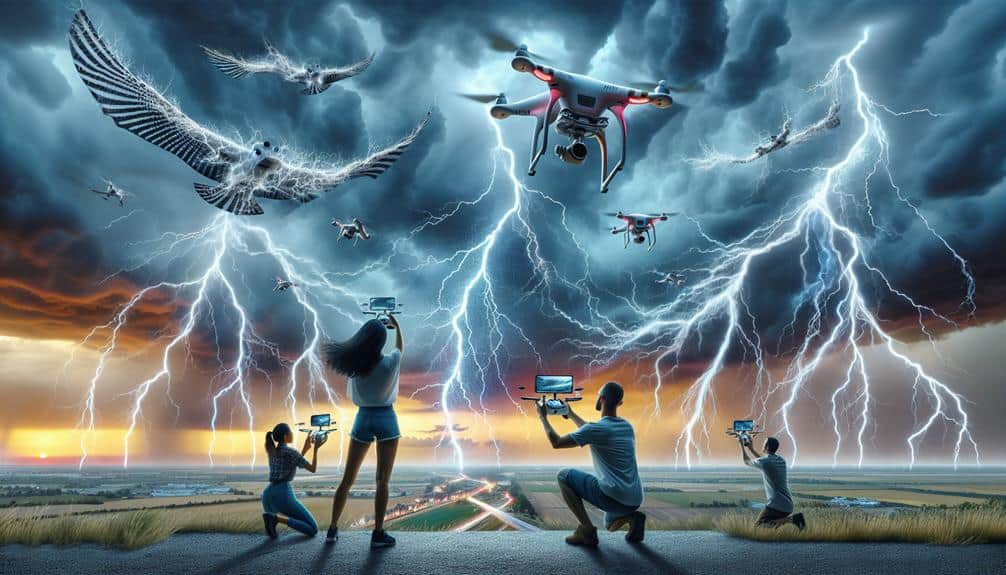
Drones and UAVs have revolutionized our ability to gather high-resolution meteorological data in real time, enhancing the accuracy of storm trajectory predictions. Thanks to continuous drone technology advancements, we can now deploy sophisticated sensors into the heart of storm systems. These devices capture invaluable data on wind speeds, temperature, humidity, and barometric pressure, which are crucial for refining our predictive models.
Our storm interception techniques have also improved significantly. By using UAV swarm tactics, we can coordinate multiple drones to cover expansive storm fronts. This approach guarantees a thorough data set, allowing for more precise storm path forecasts. UAV swarms can operate autonomously, adjusting their flight patterns in response to real-time data, thereby maximizing their effectiveness and efficiency.
Moreover, drones and UAVs play a vital role in emergency response strategies. Once a storm's trajectory is predicted, these aerial tools provide real-time footage and assessments of impacted areas, enabling rapid deployment of aid and resources. This immediate situational awareness helps mitigate damage and enhances our capacity to protect lives and property.
Ultimately, leveraging drone technology not only enhances our predictive capabilities but also empowers us to respond swiftly and effectively to severe weather events.
Weather Balloons
Let's examine how weather balloons enhance storm trajectory predictions through their data collection methods.
By measuring atmospheric variables such as temperature, humidity, and wind speed, they provide critical inputs for our models.
Additionally, their real-time tracking capabilities enable us to update forecasts with high accuracy.
Data Collection Methods
Weather balloons, equipped with various sensors, are essential tools for gathering high-altitude atmospheric data necessary for accurate storm trajectory predictions. By deploying these balloons during our field research, we can collect real-time data on temperature, humidity, pressure, and wind speed at different altitudes. This granular information is crucial for constructing accurate models of storm behavior and predicting their paths.
We utilize remote sensing techniques to augment our data collection efforts. As weather balloons ascend, they transmit data back to ground stations, allowing us to monitor atmospheric conditions continuously. This method provides high-resolution vertical profiles of the atmosphere, which are vital for understanding the dynamics of storm systems. The balloons often reach altitudes of up to 100,000 feet, offering a detailed snapshot of the atmospheric column.
Our reliance on weather balloons is driven by their ability to provide immediate, localized data, which is often more precise than satellite data for specific storm systems. By integrating this data with other meteorological tools, we can refine our predictive models and enhance our understanding of storm trajectories. This empowers us to make informed decisions and maintain a high degree of autonomy in our storm-chasing endeavors.
Atmospheric Measurements
High-altitude atmospheric measurements obtained from weather balloons provide invaluable data for constructing predictive storm models. These balloons, equipped with sensors, ascend to altitudes exceeding 100,000 feet, capturing vital parameters such as temperature, humidity, and atmospheric pressure. By integrating these meteorological observations into our remote sensing technologies, we enhance the accuracy of weather data analysis, enabling precise storm trajectory forecasts.
As we release weather balloons, they transmit real-time data back to ground stations. This continuous stream of information allows us to monitor atmospheric changes at various altitudes. Our ability to track vertical profiles of the atmosphere is essential for identifying instability, wind shear, and other dynamic factors that influence storm development. By examining these variables, we improve our forecasting accuracy, which is crucial for timely and effective storm warnings.
Furthermore, the data collected from weather balloons complement satellite-based remote sensing technologies. While satellites provide broad, horizontal coverage, weather balloons offer detailed vertical profiles, creating a more thorough atmospheric picture. This synergistic approach enhances our overall capability for weather data analysis, ultimately empowering us to make informed decisions and take proactive measures in the face of impending storms.
Real-Time Tracking
Real-time tracking of weather balloons provides continuous streams of vital atmospheric data, enabling precise monitoring of storm trajectories as they develop. By measuring variables such as temperature, humidity, and wind speed at various altitudes, we can refine our predictive models and enhance forecast accuracy. This real-time data is essential for both storm chaser safety and effective communication amongst teams in the field.
Weather balloons, equipped with radiosondes, transmit data back to our ground stations, offering high-resolution snapshots of the atmosphere. These instruments ascend through storm systems, capturing vertical profiles that are indispensable for predicting storm behavior. As the data streams in, it's integrated into our forecasting models, allowing us to issue timely warnings and improve emergency response strategies.
Our ability to track these weather balloons in real-time means we can adjust our positions based on the storm's evolving path. This adaptability not only guarantees our safety but also maximizes the quality of the data we collect. Ultimately, real-time tracking of weather balloons is a linchpin in our efforts to understand and predict storm trajectories, safeguarding both chasers and the public through enhanced forecast accuracy and efficient emergency response.
Mobile Weather Stations
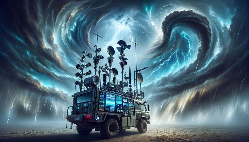
In the field of modern meteorology, mobile weather stations provide critical, on-the-ground data that enhances the accuracy of storm trajectory predictions. These stations consist of portable equipment capable of remote monitoring, which allows us to collect real-time atmospheric data in locations where traditional weather stations are absent.
We deploy these units directly in the path of storms to measure parameters like wind speed, barometric pressure, temperature, and humidity.
Our mobile weather stations are equipped with advanced sensors and GPS technology, enabling precise positioning and data collection. The data is then transmitted to central databases via satellite or cellular networks, ensuring that we can analyze atmospheric conditions instantaneously. This immediate feedback loop is essential for making timely predictions and adjustments to storm models.
Moreover, the portability of these stations means we can quickly relocate them as the storm progresses, ensuring continuous data flow. This adaptability enhances our predictive capabilities, allowing us to better understand storm dynamics and improve public warnings.
As storm chasers, having access to this kind of cutting-edge, mobile technology empowers us to operate with greater freedom and effectiveness in our quest to decode the complexities of severe weather systems.
Frequently Asked Questions
How Do Storm Chasers Ensure Their Safety While Tracking Severe Weather?
We follow strict safety protocols and use specialized equipment. We always have emergency procedures in place and maintain constant communication. This guarantees we can track severe weather while minimizing risks and maximizing our operational freedom.
What Training or Education Is Required to Become a Storm Chaser?
To become storm chasers, we need storm chaser education and required training in meteorology, atmospheric sciences, and emergency management. Hands-on experience, internships, and certifications enhance our skills, ensuring we're equipped to safely track and analyze severe weather.
How Do Storm Chasers Communicate Their Findings in Real-Time?
We transmit our findings in real-time using mobile networks, satellite imagery, and radar data. This allows us to provide accurate, up-to-the-minute updates directly to meteorological agencies and the public, ensuring everyone's safety and freedom to prepare.
Are There Any Legal Restrictions or Permits Required for Storm Chasing?
We've got to ponder permit requirements and legal restrictions when storm chasing. Some areas require specific permits, especially when entering restricted zones. It's important to stay updated on local regulations to guarantee our activities remain compliant and safe.
What Kind of Vehicles Do Storm Chasers Typically Use?
We typically use heavily modified SUVs or trucks for storm chasing. Vehicle modifications meet equipment needs, including advanced communication systems and latest technology advancements, ensuring we stay connected and safe while tracking severe weather conditions.