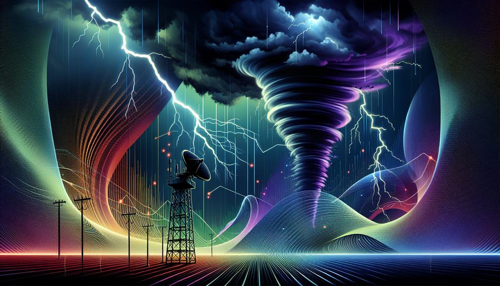
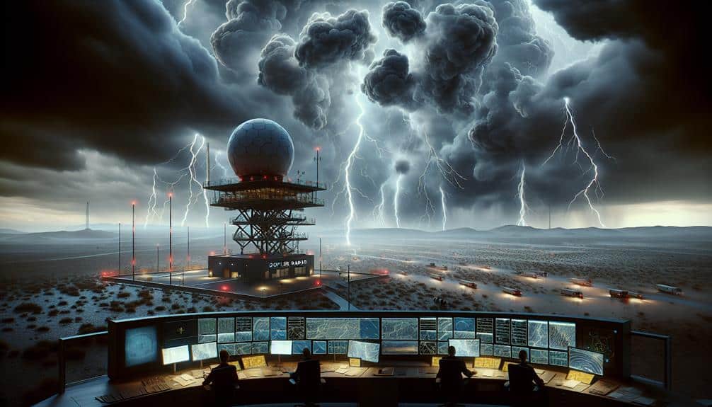
By using Doppler radar technology, we optimize our storm chasing success through precise monitoring of storm speed, direction, and intensity. This technology transmits microwave signals that bounce off precipitation particles, allowing us to measure frequency shifts and accurately track severe weather patterns in real-time. It's vital for detecting hail, snow, and tornado formations, enabling us to make data-driven, timely decisions. We analyze velocity data to determine wind speeds and rotational patterns, thereby enhancing our ability to predict tornado formation and adjust our routes. Our understanding of storm behavior deepens as we continue to explore these advanced methodologies.
Key Points
- Doppler radar provides real-time storm speed and direction data, enhancing decision-making for storm chasers.
- Tracks storm intensity and movement, allowing for timely route adjustments and safety measures.
- Detects tornado formations early through precise measurement of wind shear and rotational patterns.
- Analyzes wind patterns to identify areas of rotation within supercells, crucial for predicting severe weather.
Understanding Doppler Radar
To effectively pursue storms, we must first grasp how Doppler radar operates and its important role in weather forecasting. Doppler radar mechanics involve the transmission of microwave signals that bounce off precipitation particles. By measuring the frequency shift of these returned signals, we can determine both the speed and direction of storm movements. This technology is essential for our ability to track severe weather patterns in real time.
Weather radar technology isn't just about detecting rain. It also helps us identify hail, snow, and even tornado formations. The radar sends out pulses, and when these pulses reflect off various hydrometeors, the data collected allows us to map the intensity and movement of a storm. Key parameters like reflectivity, velocity, and spectrum width are important in constructing a thorough storm profile.
In our pursuit of freedom and the excitement of storm chasing, understanding this technology guarantees we make informed decisions. The precision of Doppler radar mechanics provides us with valuable insights, enabling us to anticipate the storm's path and intensity. This not only enhances our safety but also maximizes our ability to witness nature's most powerful phenomena firsthand.
Real-Time Weather Updates
Utilizing real-time weather updates, we can make timely and data-driven decisions to optimize our storm chasing endeavors. By integrating the latest meteorological data, we gain a thorough understanding of storm patterns and potential threats, allowing us to act promptly and effectively. Real-time updates are essential for our emergency response, guaranteeing we remain flexible in the face of rapidly changing weather conditions.
With the assistance of Doppler radar technology, we can monitor and interpret live data feeds to improve our situational awareness. This enables us to:
- Modify our routes: We can dynamically adjust our paths to avoid hazards and position ourselves for ideal observation.
- Strengthen safety protocols: Real-time data allows us to implement immediate safety measures, safeguarding both our team and equipment.
Tracking Storm Movements
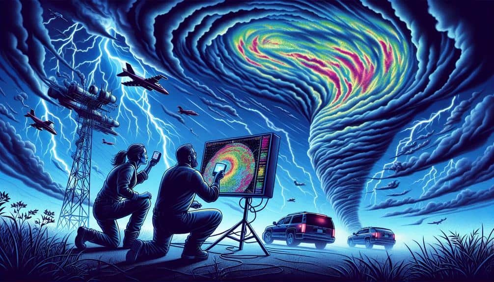
Tracking storm movements necessitates detailed analysis of meteorological data to predict the trajectory and behavior of severe weather systems. By leveraging Doppler radar technology, we can achieve remarkable precision in storm observation and storm prediction. Our radar interpretation process involves analyzing velocity data to determine wind speeds and direction, which are vital for storm interception strategies.
When we observe a storm's development, we look at various radar products such as reflectivity and velocity. Reflectivity data helps us identify precipitation intensity, while velocity data reveals wind patterns within the storm. This thorough analysis allows us to track the storm's movement and adjust our position accordingly. Accurate storm prediction hinges on understanding these patterns and anticipating changes in the storm's path.
Freedom to chase storms safely and effectively comes from our ability to interpret radar data in real-time. We continuously update our storm interception plans based on evolving storm conditions. By staying ahead of the storm's movement, we enhance our chances of capturing crucial data and imagery. Utilizing these advanced techniques guarantees we're not merely following the storm but strategically positioning ourselves to maximize our storm chasing success.
Identifying Tornado Formation
While monitoring storm activity, we focus on key indicators like wind shear and updraft strength to identify the potential for tornado formation. Understanding these parameters is pivotal for issuing timely tornado warnings and preparing for severe weather events.
Wind shear, the variation in wind speed and direction with height, can create the necessary rotation for a tornado. The presence of a strong updraft can further intensify this rotation, leading to the development of a mesocyclone.
Doppler radar technology allows us to measure these vital factors with precision, enhancing our ability to predict tornado formation. By analyzing the velocity data, we can detect rotational patterns and identify areas where tornadoes are likely to form. This technology not only helps us spot existing tornado signatures but also enables us to anticipate future tornado threats.
Key indicators we monitor include:
- Wind Shear: Changes in wind speed and direction with height that could foster rotation.
- Updraft Strength: The upward movement of air that can intensify rotational forces.
Through careful analysis of these indicators, we can provide more accurate tornado warnings, ensuring communities have the freedom to take protective actions during severe weather.
Analyzing Wind Patterns
Understanding wind patterns is important for predicting severe weather events and enhancing storm chasing strategies. By analyzing wind speed and atmospheric conditions, we gain insights into the dynamics of storm systems.
Doppler radar technology allows us to measure wind speed and direction with high precision. This data is essential in identifying areas of rotation within supercells, which are often precursors to tornado development.
When we examine wind patterns, we look for specific indicators such as shear and divergence. Wind shear, the variation in wind speed and direction at different altitudes, plays a significant role in storm formation and intensity. Horizontal wind shear can indicate the presence of a mesocyclone, while vertical shear can suggest the potential for severe weather escalation.
Divergence, the horizontal spreading of air, often signifies rising motion and convection, further contributing to storm development.
Enhancing Safety Measures
To maximize our storm chasing success, we must rigorously implement and continuously improve safety measures. In the unpredictable world of storm chasing, safety isn't just a priority; it's a necessity. By leveraging Doppler radar technology, we can enhance our emergency response strategies and perform accurate risk assessments to guarantee our safety.
Our approach to safety includes:
- Real-time monitoring: Utilizing Doppler radar to track storm developments and make timely decisions.
- Emergency protocols: Establishing and rehearsing clear procedures for when conditions deteriorate.
With these data-driven strategies, we can maintain a high level of situational awareness. For instance, real-time monitoring allows us to detect abrupt changes in storm patterns, enabling rapid adjustments to our course.
Emergency protocols guarantee every team member knows their role during critical moments, minimizing confusion and maximizing efficiency.
Improving Forecast Accuracy
Improving forecast precision demands an integration of cutting-edge meteorological models and real-time data analytics. We've observed that Doppler radar advantages greatly enhance our storm prediction capabilities. By utilizing Doppler radar technology, we can measure the velocity of precipitation particles, offering critical insights into storm dynamics.
Incorporating these precise velocity measurements into our forecasting techniques allows us to predict weather patterns with increased accuracy. High-resolution data from Doppler radar systems enable us to analyze storm structures in real-time, leading to more dependable predictions about storm development and trajectory.
This integration of data analysis enhances our ability to foresee severe weather events, enabling us to take preemptive actions that ensure safety and preparedness.
Our approach involves not only the technology itself but also the methodologies we employ to interpret this data. Advanced algorithms and machine learning models assist in processing the vast amounts of information gathered, transforming raw data into actionable insights.
Frequently Asked Questions
How Can I Become a Professional Storm Chaser?
To become a professional storm chaser, we should obtain a storm chasing certification and explore various job opportunities in meteorology. This will equip us with essential skills and knowledge, ensuring safe and successful storm chasing experiences.
What Equipment Is Essential for Storm Chasing?
Surprisingly, radar technology can detect tornadoes up to 15 minutes before they form. For storm chasing, we need radar tech, storm spotters, safety precautions, and communication devices to guarantee accurate data collection and maintain safety.
Are There Any Storm Chasing Tours Available for Enthusiasts?
Yes, there are several storm chasing tour options available for enthusiasts. These tours provide safety precautions and often include insurance. Availability varies by season, and data shows a higher success rate in peak storm months.
How Do Storm Chasers Stay Connected in Remote Areas?
In the wild west of storm chasing, we use satellite communication and GPS tracking to stay connected in remote areas. These technologies guarantee real-time data sharing, enhancing our ability to navigate and document severe weather phenomena effectively.
What Kind of Training Is Required for Storm Chasing?
We undergo rigorous training, focusing on storm tracking and safety measures. This includes understanding meteorological data, learning emergency protocols, and mastering specialized equipment. Our goal is to guarantee accurate data collection while prioritizing our team's safety in extreme conditions.