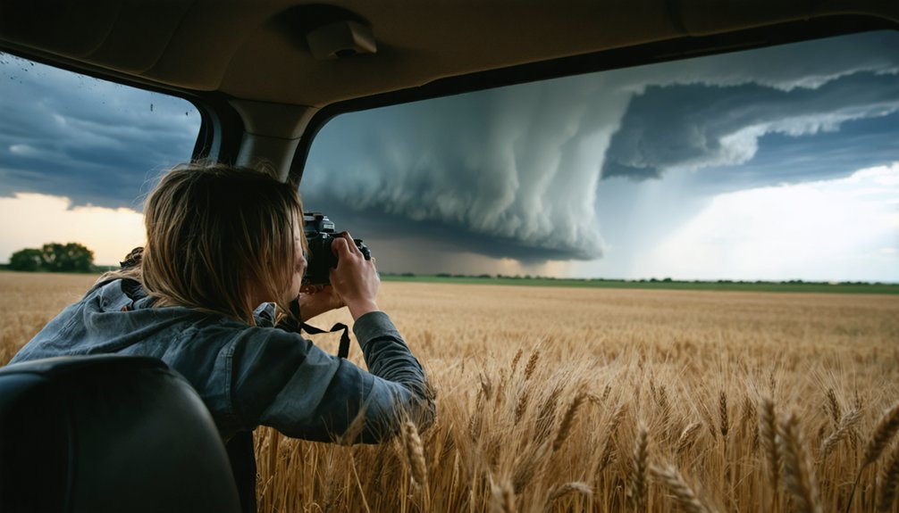
Start by obtaining your SKYWARN certification through the National Weather Service‘s free two-hour training sessions, which validate your ability to identify severe weather phenomena. You’ll then need to build meteorological expertise through MetEd’s radar interpretation and mesoscale weather courses. Join established chase teams in support roles operating GPS navigation systems and real-time radar tracking equipment while observing proper intercept methodologies. Professional storm chasing tours ranging from 5-11 days offer structured experiences during April-June peak season. The following sections detail specific technical competencies and safety protocols you’ll master.
Key Takeaways
- Obtain SKYWARN certification through National Weather Service’s free online or two-hour in-person courses on storm identification and reporting.
- Complete SpotterNetwork.org training modules and MetEd’s meteorology courses covering radar interpretation, satellite analysis, and mesoscale weather systems.
- Join established chase teams in support roles operating GPS navigation, tracking radar data, and maintaining communication protocols.
- Develop technical skills in NEXRAD radar analysis, numerical weather prediction models, and Storm Prediction Center output interpretation.
- Consider guided storm chasing tours during April-June peak season offering 5-11 day packages with experienced meteorologists.
Get Your SKYWARN Certification Through the National Weather Service
Before joining storm chasing groups, you’ll need SKYWARN certification from the National Weather Service, which validates your ability to identify and report severe weather phenomena accurately. Course registration occurs through COMET/MetEd’s online platform, featuring “The Role of the SKYWARN Spotter” and “SKYWARN Spotter Convective Basics”—each requiring approximately one hour.
Alternatively, you can attend free two-hour in-person sessions covering thunderstorm fundamentals, storm structure analysis, and severe feature identification. Training encompasses critical reporting thresholds: pea-sized hail, 40+ mph wind gusts, structural damage, and rotating cloud formations. Upon passing the examination, you’ll receive your official spotter ID and printable certificate.
While certificate renewal isn’t mandated uniformly, the NWS recommends retraining every two years to maintain current meteorological knowledge and reporting protocols, ensuring your observations meet operational standards.
Build Your Educational Foundation and Weather Knowledge
While SKYWARN certification establishes your credibility as a weather spotter, thorough storm chasing demands deeper meteorological expertise that extends beyond basic identification protocols. You’ll need to master forecasting fundamentals through systematic study of supercell dynamics, mesocyclone development, and atmospheric instability parameters that determine tornado-genesis potential.
Storm chasing requires mastering supercell dynamics, mesocyclone development, and atmospheric instability parameters beyond basic SKYWARN spotter certification protocols.
Enhance self-directed learning through these essential resources:
- SpotterNetwork.org training modules—comprehensive instruction with interactive quizzes validating your comprehension
- MetEd’s free meteorology courses—covering radar interpretation, satellite analysis, and mesoscale weather systems
- GRLevel2 and RadarScope software—enabling analysis of historical storm data and real-time tracking capabilities
- Virtual chase simulations—converting theoretical knowledge into decision-making reflexes without field exposure risks
Tim Vasquez’s “Storm Chasing Handbook” provides intermediate-level forecasting frameworks once you’ve completed foundational coursework.
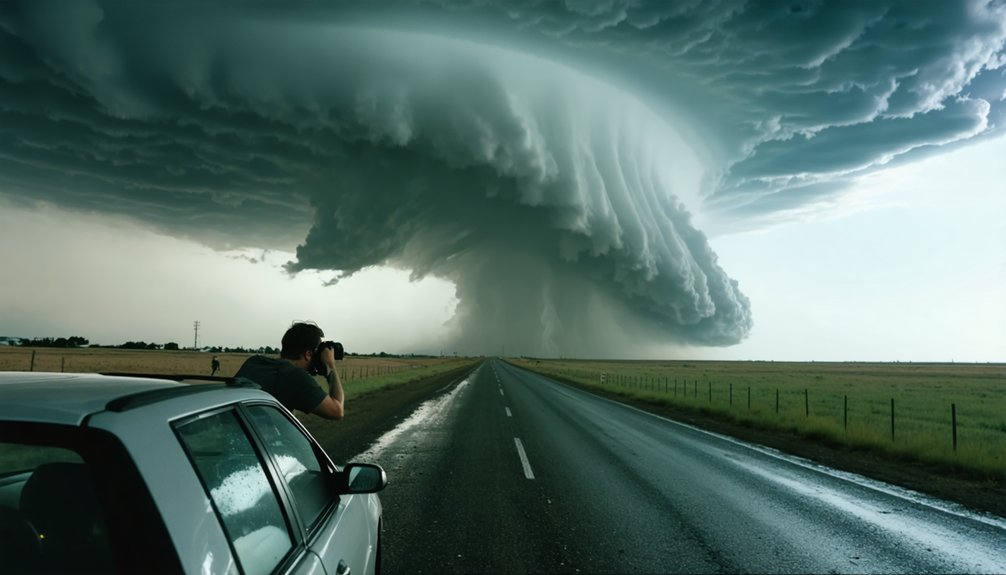
Start in Support Roles With Experienced Storm Chasers
You’ll gain essential field experience by joining established chase teams in support capacities that minimize risk exposure while maximizing learning outcomes. Your initial responsibilities will focus on operating GPS navigation systems, tracking real-time radar data, and maintaining communication protocols while experienced chasers handle driving and tactical positioning decisions.
This collaborative approach enables you to observe storm intercept methodologies, understand safe distance parameters from convective cells, and develop proficiency with meteorological equipment before assuming primary chase roles.
Storm chasing demands rigorous navigation protocols and systematic observation techniques that you’ll master most effectively through structured support roles alongside veteran chasers. Your freedom to pursue severe weather hinges on developing critical situational awareness and storm identification capabilities that prevent fatal positioning errors.
Essential Navigation and Observation Protocols:
- Deploy real-time radar applications like Radarscope or RadarOmega—never rely on delayed consumer apps that’ll place you in lethal positions near rotating mesocyclones.
- Monitor RFD gust fronts and inflow tail morphology to identify tornadogenesis regions while maintaining escape vectors perpendicular to storm motion.
- Establish GPS-verified alternative routes before intercepting supercells, preventing road network entrapment during rapid intensification cycles.
- Maintain clear visibility parameters by avoiding night chases and heavily wooded terrain where visual storm identification becomes compromised.
Handle Equipment During Chases
Meteorological equipment operation constitutes your primary contribution during initial chase deployments, where you’ll manage data acquisition systems while experienced forecasters maintain tactical decision-making authority.
Instrument preparation demands methodical attention—calibrate anemometers, verify GPS coordinates, and confirm radar functionality before departure. You’ll operate navigation systems independently, preventing driver distraction while tracking storm vectors and road networks simultaneously.
Data management protocols require real-time logging of atmospheric observations: temperature gradients, pressure differentials, and precipitation rates. Document visual phenomena through photography and video, capturing cloud structures and rotation patterns for scientific analysis.
Master remote sensing software like MATLAB or Python to process field measurements efficiently. Your technical proficiency with weather sensors directly enhances team situational awareness, allowing veteran chasers to focus on risk assessment while you maintain thorough environmental monitoring throughout dynamic storm intercepts.
Develop Essential Technical and Safety Skills
Your progression from support roles to active chasing requires mastering three core competencies: weather data interpretation, safe driving techniques, and storm structure identification.
Proficiency in NEXRAD radar analysis and numerical weather prediction models enables you to forecast severe weather outbreaks and identify tornado genesis signatures before deployment. Simultaneously developing defensive driving skills for adverse conditions and recognition of visual storm features—wall clouds, inflow bands, and rotation—ensures both operational effectiveness and personal safety during field operations.
Master Weather Data Interpretation
Before you can effectively pursue storm systems, understanding weather data interpretation forms the foundation of successful chase operations. You’ll need to master data integration techniques that combine surface observations, radar returns, and satellite imagery into coherent forecasts.
Interpretive forecasting methods require analyzing temperature gradients, dew points, and atmospheric pressure patterns using colored pencils on observation maps.
Critical interpretation skills you must develop:
- Decode base and composite reflectivity to identify overshooting tops and mesocyclone signatures
- Analyze vertical wind profiles from radar-derived algorithms detecting hail size and severe probability
- Integrate computer model outputs with real-time surface data for target area refinement
- Process tropospheric data layers to anticipate jet stream dips and trough progression
Your visual storm assessment abilities supplement technological tools, creating all-encompassing nowcasting capabilities essential for independent chase operations.
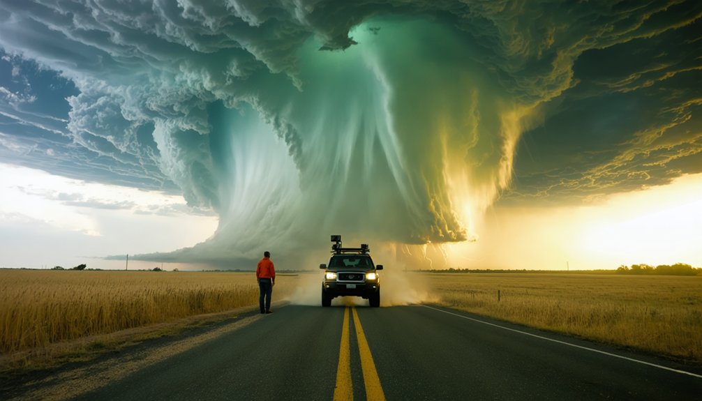
Practice Safe Driving Techniques
Storm chasing vehicles become mobile observation platforms requiring operational protocols distinct from conventional driving conditions. Vehicle maintenance procedures demand priority attention: verify tire integrity to counter hydroplaning threats, inspect headlight functionality for reduced visibility scenarios, and assess electronic systems that may restrict high-speed maneuvers or off-road escape capabilities.
Hydroplaning mitigation strategies include immediate speed reduction when water displacement occurs beneath your chassis and eliminating worn tire profiles from your equipment inventory.
Your operational framework must incorporate designated driver protocols, separation of navigation responsibilities from meteorological observation tasks, and continuous escape route recalibration. Activate lighting systems during precipitation events, maintain adequate following distances, and avoid traversing beneath rotating mesocyclone structures.
Situational awareness supersedes all other priorities—task saturation compromises your ability to execute critical evasive maneuvers when atmospheric conditions deteriorate rapidly.
Learn Storm Structure Identification
Mastering vehicle operations establishes your foundation for interpreting atmospheric phenomena through radar signatures and visual storm characteristics. You’ll need radar based storm structure analysis skills to differentiate between single-cell, multicell, and supercell systems. Supercell identification relies on recognizing bounded weak echo regions and hook echoes that reveal rotating updrafts—your gateway to witnessing nature’s most powerful displays.
Essential technical competencies include:
- Interpreting Storm Prediction Center model output to identify updraft helicity streaks and Significant Tornado Parameters
- Analyzing NEXRAD reflectivity patterns to detect mesocyclones and precipitation cores
- Reading Skew-T diagrams to assess CAPE, shear, and helicity balance
- Tracking storm motion patterns through sequential radar scans for positioning autonomy
These data-driven skills transform you from passenger to independent storm interceptor.
Book a Professional Storm Chasing Tour
Professional storm chasing tours operate through established companies that deploy degreed meteorologists, cutting-edge radar technology, and redundant safety systems across Tornado Alley’s severe weather corridor.
You’ll access multiple departure points—Oklahoma City, Kansas City, Denver, and Rapid City—with expedition lengths ranging five to eleven days during April-June peak season. Tour affordability varies across operators offering six, eight, or ten-day packages.
National Weather Service meteorologists and severe weather researchers guide participants through real-time satellite imagery analysis and radar-based tracking protocols. Group diversity characterizes these expeditions, welcoming photographers, thrill seekers, and scientific observers without prerequisites.
Daily meteorological briefings prepare you for chase deployment, while veteran guides position vehicles in ideal observation zones. You’ll gain unrestricted access to powerful storm systems through companies that’ve successfully guided thousands of novices through tornado documentation experiences.
Understand Safety Protocols and Team Requirements
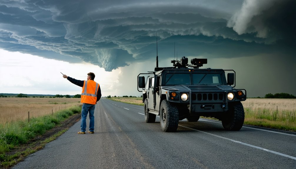
Booking your tour represents just the initial commitment—field operations demand rigorous safety protocol adherence and specialized team competencies. Storm chasing safety requires evidence-based preparation beyond enthusiasm. You’ll need SKYWARN® certification, Red Cross CPR credentials (critical for lightning-strike cardiac arrests), and HAM radio proficiency for remote coordination.
Team communication protocols mandate real-time GPS sharing, dual escape route identification, and constant situational awareness monitoring.
Essential capabilities you must develop:
- Navigate autonomously through deteriorating conditions while maintaining radar interpretation accuracy
- Execute split-second retreat decisions when storm structure indicates dangerous circulation patterns
- Coordinate emergency medical response during equipment failures or vehicle incidents in isolated terrain
- Maintain operational focus during extended 10-hour pursuit days through adverse weather systems
Professional teams enforce these standards—your freedom to chase depends on demonstrating competency.
Explore Career Advancement and Research Opportunities
Three distinct pathways define storm chasing career trajectories: operational meteorology, atmospheric research, and private consulting sectors. You’ll find 9.3% job growth projections driving 1,100 new positions through 2024, fueled by increasing severe weather events.
Master’s or PhD credentials grant access to NSSL meteorologist roles requiring specialized ties to physics or engineering field projects. Research funding opportunities expand through collaborations with University of Oklahoma and National Weather Service data collection initiatives.
Individual contributors master radar interpretation and atmospheric modeling, while senior positions involve leading expeditions and mentoring personnel. STEM outreach programs create educational pathways where you’ll report findings to weather departments.
Advancement speed correlates directly with storm season frequency, data quality metrics, and safety reputation. Emerging AI-driven analytics and sensor technology command premium compensation for early adopters.
Frequently Asked Questions
What Physical Fitness Level Is Required for Storm Chasing Activities?
You’ll need moderate cardiovascular fitness to handle 14-16 hour days and 600-800 mile drives, plus strong weather awareness for quick threat assessment. Meeting 55% percentile on timed runs and maintaining operational stamina guarantees you’re chase-ready.
Do Storm Chasing Groups Accept International Members or Only US Residents?
Storm chasing knows no borders—you’ll find international membership requirements are remarkably open. Most groups welcome global participants through their diversity policies, requiring only proper visa documentation, insurance coverage, and meteorological competency rather than residency restrictions.
What Type of Vehicle Is Best for Beginners Joining a Group?
You’ll want fuel efficient vehicle options like diesel manual pickups or Subaru Foresters. Multipurpose vehicle considerations include four-wheel-drive capability, high ground clearance, and durability—essential for extended field operations while maintaining budget flexibility and operational independence.
Are There Age Restrictions for Joining Storm Chasing Tours or Groups?
Yes, you’ll encounter minimum age requirements varying by operator—typically 13-18 years depending on guardian presence. Group eligibility criteria include signed liability waivers, health agreements, and behavioral compliance standards to guarantee safe participation during severe weather operations.
How Do Storm Chasers Fund Their Equipment and Travel Expenses?
You’ll fund chasing through self-financing equipment ($5,000+ initial), monetizing footage, leveraging crowdfunding platforms like Patreon, securing sponsorship opportunities from weather-tech companies, and diversifying income streams—maintaining operational independence while offsetting $2,000-$5,000 annual costs.