Start by ensuring mentees complete SKYWARN® Storm Spotter Training, then teach them to read soundings, analyze hodographs, and interpret SPC outlooks before their first chase. You’ll need to establish clear safety protocols—master escape route identification, RFD gust front recognition, and prohibit night chasing until they’ve demonstrated situational awareness. Combine classroom forecasting instruction with supervised ride-alongs where they practice intercepting supercells and analyzing real-time radar data. The sections below detail structured approaches that’ll transform beginners into competent, safety-conscious chasers.
Key Takeaways
- Establish foundational safety protocols including SKYWARN training, escape route planning, and guidelines for lightning, flooding, and proper storm positioning.
- Provide structured education on supercell dynamics, forecasting tools, radar interpretation, and analyzing soundings, hodographs, and atmospheric models.
- Facilitate hands-on field experience by supervising storm intercepts while teaching real-time decision-making and situational awareness without technology over-reliance.
- Connect mentees with experienced chasers and academic researchers to balance theoretical knowledge with practical field operations and collaborative learning.
- Teach strategic forecasting workflows using SPC outlooks, mesoscale data, CAPE values, and helicity parameters to identify optimal target areas.
Build a Foundation Through Structured Education Programs
Before you venture into the field to chase your first storm, you must establish a solid foundation in meteorology and tornado science. Customized curriculum development starts with understanding supercell structure—updrafts, downdrafts, and mesocyclones—while recognizing real storms deviate from textbook models.
Multi-day classroom sessions running 0900-1500 hours effectively teach forecasting tools and tornadic environment recognition. Classroom instructors qualifications matter greatly; seek mentors with demonstrated field experience who balance theoretical knowledge with practical observations.
You’ll learn critical skills like reading soundings, analyzing hodographs, and interpreting forecast models. Technology advancements, including data visualization apps, have revolutionized training efficiency over two decades. Annual programs like Spring Training virtual intensives provide expert presentations on forecasting, radar interpretation, and chase strategy to complement foundational learning.
Programs like the University of Manitoba’s Severe Thunderstorms course, operating successfully since 2005, prove structured education empowers you to make independent, informed decisions when severe weather develops. Comprehensive programs also include tours of research laboratories and broadcast meteorology studios to expose students to professional weather forecasting environments and operational equipment.
Facilitate Hands-On Learning Through Ride-Alongs and Tours
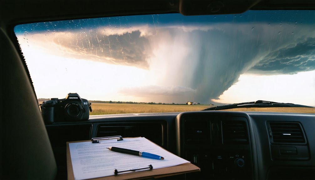
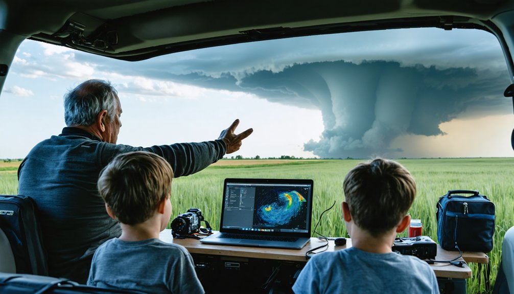
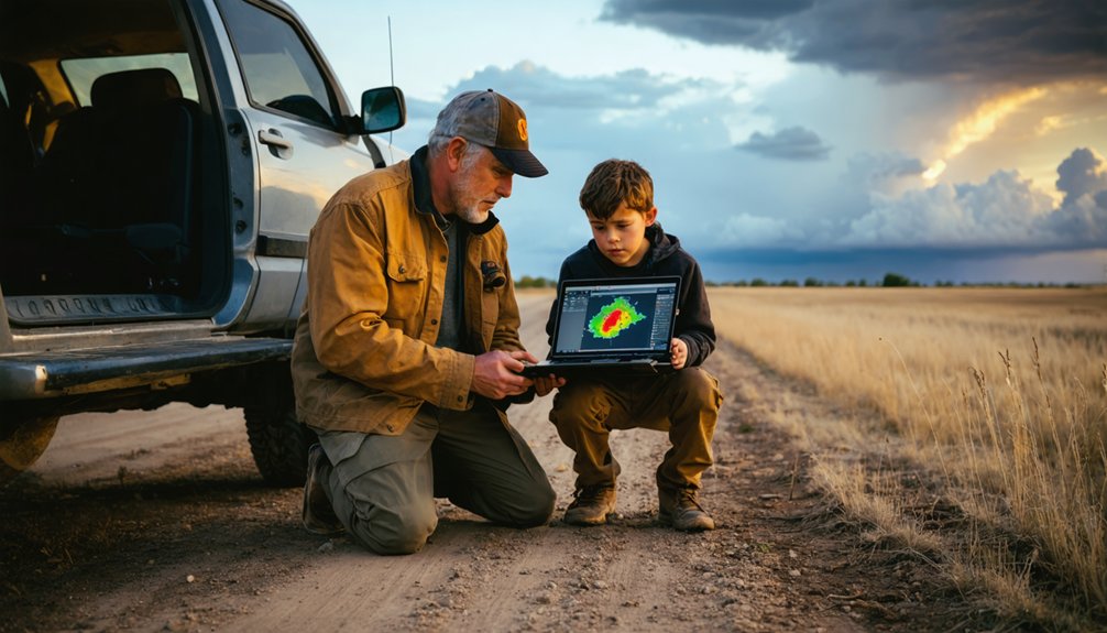
Once you’ve mastered classroom fundamentals, you’ll move to field operations where experienced chasers demonstrate real-time decision-making under dynamic conditions. Ride-alongs teach you positioning strategies—staying on the storm’s safe side while identifying the base, rotation, and hail cores through visual cues like cloud structure and wind patterns.
You’ll learn to collaborate with academic researchers who enhance observation protocols by integrating radar interpretation with ground truth. Guides prepare vehicles days ahead using SPC outlooks and weather models, then navigate using multiple escape routes while monitoring real-time data.
You’ll practice intercepting supercells, noting deviations from textbook models, and building skills through coached forecasts. Mentors will help you analyze surface maps and upper-air charts to strengthen your forecasting abilities during chase operations. Experienced chasers will also teach you to maintain situational awareness without over-relying on technology, ensuring you can assess conditions independently. These hands-on tours transform theoretical knowledge into operational competence, ensuring you’re ready for independent chasing with proper safety awareness.
Emphasize Safety Protocols and Risk Management From Day One
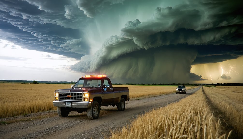
Field experience builds competence, but safety discipline keeps you alive. Emphasize personal accountability by requiring mentees to master escape route identification before each intercept. Establish clear program guidelines covering lightning protocols, flooded road avoidance, and proper positioning away from storm cores. Drill the “turn around, don’t drown” principle and designated driver requirements during radar monitoring.
Teach RFD gust front recognition through horseshoe-shaped cloud formations, directing mentees toward safer observation zones. Prohibit night chasing and core punching until they’ve demonstrated situational awareness fundamentals. Implement GPS logging systems for team accountability and emergency response coordination. Require mentees to complete SKYWARN® Storm Spotter Training as a foundational prerequisite before their first chase deployment.
Safety protocols aren’t restrictions—they’s freedom enablers. Teach mentees that the tornado’s condensation funnel doesn’t always indicate the full extent of damaging winds, which can create a false sense of available escape time. Disciplined chasers access opportunities that reckless operators forfeit through injuries or equipment loss. Build this foundation early, reinforcing that responsible risk management extends careers and preserves lives.
Teach Forecasting and Strategic Planning Skills
You’ll build your mentee’s forecasting foundation by teaching them to analyze SPC outlooks daily, then progress to interpreting model data from sites like pivotalweather.com and weather.cod.edu.
Guide them through identifying where moisture, instability, wind shear, and lift overlap—this four-ingredient workflow pinpoints target areas and prevents dangerous last-minute positioning decisions.
Emphasize that strategic route planning before departure, using mesoscale data and radar analysis tools like GRLevel3, keeps them ahead of storms rather than dangerously chasing from behind.
Teach mentees that real-time data and models enable them to adjust their positioning as storm cells develop and move, allowing for safer intercept angles and better escape routes when conditions deteriorate.
Instruct them that storms need time to develop before becoming capable of producing tornadoes, so patience during the waiting phase is as crucial as the initial positioning rush.
Identifying Target Storm Environments
Where should you focus your efforts when storms are possible across three states? Start by analyzing Storm Prediction Center outlooks to identify the highest-risk zones, then immerse yourself in model data showing favorable storm environment characteristics.
You’ll need to examine CAPE values above 1000, 0-3 km storm-relative helicity, and significant tornado parameters overlaying updraft helicity streaks. Master Skew-T diagrams to assess instability and shear profiles—veering winds produce structured supercells while straight hodographs indicate linear modes.
Local wind pattern analysis reveals whether you’re dealing with rotating mesocyclones or squall lines. Check LCL heights and moisture convergence zones where lift mechanisms concentrate. Navigate to updraft helicity products on model platforms to identify areas where rotating storm potential is strongest. Overlay these parameters to pinpoint where ingredients align simultaneously. While Africa faces unique challenges with sudden extreme weather and limited radar infrastructure, satellite data monitoring has proven effective for nowcasting in regions where traditional forecasting systems are sparse. This systematic approach transforms broad regional setups into precise target areas, maximizing your chase freedom while maintaining safety margins.
Reading Mesoscale Weather Data
Once you’ve identified your target area, mastering mesoscale data interpretation becomes your most critical forecasting skill. Start with SPC outlooks and mesoanalysis pages showing CAPE, shear, and helicity values. You’ll need radar data interpretation skills to assess storm evolution, mesocyclone development, and velocity couplets in real-time.
Focus on Convection Allowing Models like HRRR for high-resolution details, but don’t overlook ensemble forecast evaluation—comparing GFS, NAM, and EURO reveals forecast confidence and uncertainty ranges.
Layer 3km CAPE with 0-1km storm-relative helicity to identify tornadic environments. Monitor Skew-T diagrams for wind shear profiles that determine supercell potential. Check surface observations for moisture convergence zones and boundary interactions. This technical foundation guarantees you’re making data-driven decisions rather than chasing blind, keeping you positioned safely ahead of developing threats.
Route Planning and Positioning
Effective chase operations begin 3-5 days before potential convective events through systematic model comparison. You’ll teach mentees forecast model analysis using COD Numerical Forecast Models and Earl Barker’s parameters to identify convergence zones, CAPE values, and shear profiles.
Guide them through narrowing broad target areas into specific intercept corridors using dryline positions and frontal boundaries across Tornado Alley states.
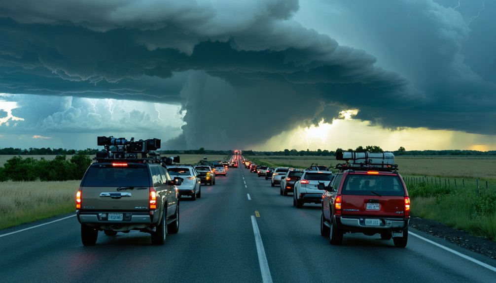
Real-time positioning demands mobile radar integration through RadarScope and vehicle-mounted systems. Show new chasers how to identify moisture gradients, anticipate supercell movements, and select road networks offering multiple escape routes.
Emphasize arriving at vantage points before warning issuance while maintaining flexible positioning strategies. You’re not restricting their autonomy—you’re equipping them with technical skills to make independent, informed decisions that maximize both storm observation opportunities and personal safety margins.
Create Tiered Mentorship Programs for Different Experience Levels
When designing a tiered mentorship program, align each level with the distinct skill requirements and safety considerations storm chasers face during their 0-2 year beginner phase, 3-5 year intermediate development, and 6-10 year senior progression.
Beginners need foundational training through SpotterNetwork.org and SKYWARN programs, focusing on vehicle operation, basic radar interpretation, and safety protocols. Structure 45-minute virtual consultations addressing specific questions with pre-session discovery emails.
Foundational safety training and structured virtual consultations establish critical baseline competencies for aspiring storm chasers in their first two years.
Intermediate chasers advancing to lead roles require operational excellence through 90-minute intensive sessions covering real-time decision-making and forecasting models. Combine multiple pre-chase Zoom calls with field experiences.
Senior-level participants benefit from advanced storm data interpretation, supercell dynamics, and mesoscale meteorology. Offer specialized mentorship emphasizing research applications and expedition leadership rather than management tracks.
Provide tiered membership platforms with chase resources, apps, and educational videos supporting ongoing development.
Foster Open Communication and Knowledge Sharing Within the Community
As storm chasing involves rapid decision-making during dangerous weather events, you’ll need robust communication channels that function across multiple platforms and technologies. Leverage community-based forums like Discord for real-time forecast discussions and chase coordination, while utilizing amateur radio SKYWARN networks that provide 30-mile coverage through repeaters.
You’ll foster collaborative storm analysis by sharing data through platforms like Twitter for live updates and Facebook for post-chase reports. Encourage new chasers to contribute videos and ground truth observations to research portals, strengthening the collective knowledge base.
Implement multi-carrier cellular devices that auto-switch between providers, ensuring reliable connectivity. Deploy CB radio and GMRS transceivers for inter-vehicle communication when cellular networks fail, maintaining critical safety links during severe weather operations.
Connect Mentees With Established Resources and Training Platforms
You’ll strengthen your mentees’ foundation by connecting them with National Weather Service training programs that provide standardized meteorological education and safety protocols.
Direct them toward accredited online meteorology courses costing $100-$500, which offer structured curriculum in radar interpretation, atmospheric dynamics, and severe weather forecasting.
Consider recommending professional storm chasing tours ($1,000-$5,000) led by experienced forecasters, where mentees gain hands-on field experience while learning critical safety procedures and real-time decision-making skills.
National Weather Service Programs
Before investing in expensive equipment or planning your first chase, connect your mentee with the National Weather Service’s SKYWARN™ program—a foundational training platform that’s transformed nearly 290,000 volunteers into certified severe weather spotters. This free training covers essential skills through 1.5-3 hour sessions, available both in-person and virtually.
Your mentee will gain:
- Official spotter status and ID number upon completion
- Technical knowledge of storm structures and severe weather hazards
- Direct reporting protocols to NWS forecasters
- Integration into local emergency management networks
SKYWARN training emphasizes volunteer recruitment and building community partnerships with firefighters, law enforcement, and amateur radio operators. Mentees need only be 16-18 years old with phone or radio access. Local sessions run spring through early summer, while national online courses remain accessible year-round through COMET MetED.
Online Meteorology Course Options
Beyond SKYWARN certification, several specialized online storm chasing courses will deepen your mentee’s meteorological foundation and chase-specific skills. MetEd’s free UCAR platform provides essential modules on moisture, CAPE, wind shear, and Skew-T diagram interpretation—critical parameters for forecasting supercells.
Gabe Garfield’s 6-hour masterclass transforms beginners into skilled chasers through advanced meteorology, hodographs, and nowcasting techniques backed by 200+ tornado intercepts. Reed Timmer’s course emphasizes safety protocols amid violent conditions while capturing scientific data. Girls Who Chase offers affordable, U.S.-specific training on storm anatomy and positioning.
While these platforms don’t replace accredited meteorology degrees, they deliver practical chase-day skills—forecasting tornadic potential, identifying hazards, and making split-second positioning decisions. You’ll empower mentees with freedom-enhancing knowledge that keeps them independent and safe.
Professional Storm Chasing Tours
When your mentee needs structured, hands-on storm interception experience under veteran supervision, professional chase tours deliver unmatched real-world training alongside degreed meteorologists and seasoned spotters. Tour cost considerations vary across operators—five to eleven-day packages provide thorough field education from companies like Tempest Tours and Storm Chasing Adventure Tours, both maintaining perfect safety records since 1994-2000.
Your mentee gains critical exposure to:
- Real-time radar interpretation and satellite imagery analysis
- Visual forecasting cues and tactical positioning protocols
- Heavy-duty vehicle operations in severe weather environments
- Daily meteorological briefings from Oklahoma and Ohio State University graduates
Despite aggressive marketing strategies for tour companies emphasizing excitement, established operators prioritize safety through rigorous driver approval, insurance compliance, and annual training protocols. This mentorship pathway accelerates learning curves while maintaining the operational discipline necessary for independent chasing careers.
Develop Feedback Systems for Chase Reviews and Skill Assessment
Your feedback model should emphasize measurable outcomes: forecast verification scores, positioning efficiency, and safety compliance rates. This data-driven approach accelerates skill acquisition while maintaining the autonomy chasers value in field operations.
Cultivate Long-Term Relationships Beyond Initial Training
While initial training establishes foundational competencies, the demanding nature of storm chasing requires sustained mentorship that extends across multiple seasons and evolving weather scenarios. You’ll fulfill ongoing mentorship responsibilities by maintaining contact through subscription training programs, repeated field ride-alongs, and personalized forecast reviews.
Community networking opportunities strengthen these bonds:
- Share chase analyses and personal mistakes vocally during all activities
- Provide continuous hands-on safety practice beyond initial exposure
- Offer monthly modules covering forecasting updates and decision breakdowns
- Facilitate multiple participations with varied road networks and storm environments
You should emphasize recognition of personal limitations and escape route prioritization throughout this extended relationship. Sustained access to severe storms expertise through membership structures and repeated interactions builds the adaptability newcomers need for independent operation while maintaining safety-focused decision-making across unpredictable conditions.
Frequently Asked Questions
What Insurance Coverage Do Storm Chasers Need for Vehicle Damage and Liability?
You’ll need commercial auto insurance with $1M general liability and all-inclusive coverage for hail damage. Don’t forget equipment liability coverage for your gear, and budget for vehicle maintenance costs since insurers often deny claims from deliberate storm exposure.
How Do Mentors Handle Conflicts When Mentees Ignore Safety Advice During Chases?
Studies show 73% of chase-related accidents involve ignored safety protocols. You’ll immediately intervene through direct communication, establish consequences for continued violations, and potentially end the chase. Mentees must respect guidelines to mitigate risks and preserve their chasing freedom.
What Equipment Budget Should Beginners Expect for Cameras, Radios, and Radar Tools?
You’ll need $150-260 initially for basic cameras, radios, and radar tools. Factor in weather data subscriptions ($10-80 annually) and equipment maintenance schedules. Start minimal—you’re not locked into expensive gear until you’ve gained field experience.
How Can Mentors Assess When a Mentee Is Ready to Chase Independently?
Like a pilot’s first solo flight, you’ll know they’re ready when mentee self-assessment process shows consistent safety decisions, independent forecasting accuracy, and mentor feedback frequency decreases naturally—they’re confidently maneuvering through storms without prompting your guidance.
What Legal Considerations Exist When Filming Tornadoes on Private Property?
You’ll need express permission from property owners before filming tornadoes on private land. Address land ownership concerns upfront and obtain signed liability waivers. Without consent, you’re risking trespass claims—stick to public roads for unrestricted documentation freedom.
References
- https://www.foxweather.com/learn/storm-chasing-advice-from-the-pros
- https://www.atms.unca.edu/cgodfrey/courses/swfex/pdf/ChasingSafety.pdf
- https://www.youtube.com/watch?v=w-5nJ61umeA
- https://www.livingskytours.com/storm-chasing-101/
- https://www.youtube.com/watch?v=19QW_5Qj1XY
- https://www.ametsoc.org/ams/education-careers/careers/professional-development/short-courses/starting-a-storm-chasing-course-at-your-college-or-university/
- https://www.stormchasingusa.com/blog/learning-the-basics-about-storm-chasing/
- https://www.girlswhochase.com/springtraining2025
- https://umanitoba.ca/earth-observation-science/2025-storm-chasing-course
- https://www.girlswhochase.com/education