When chasing storms, we predict waterspouts by analyzing advanced numerical weather prediction models and real-time Doppler radar data. We focus on warm sea surface temperatures, high humidity, and low vertical wind shear, which create favorable conditions for waterspout formation. By identifying cumulus or cumulonimbus clouds and monitoring rotating updrafts, we pinpoint potential waterspout locations. Satellite imagery and continuous data collection enhance our predictive accuracy. Recognizing convergence zones and abrupt wind shifts aids in anticipating waterspouts. Understanding these weather patterns and utilizing dynamic storm tracking tools notably increase our chances of safely and successfully spotting waterspouts. Learn about our analytical methods in detail.
Key Points
- Monitor Doppler radar for areas of wind shear and rotating updrafts indicating potential waterspout formation.
- Look for cumulus or cumulonimbus clouds, especially with low, dark, rotating bases, as potential waterspout precursors.
- Use weather satellites to observe sea surface temperatures and identify warm water areas conducive to waterspouts.
- Keep track of high humidity levels and significant temperature gradients between the sea surface and air aloft.
Understanding Waterspout Formation
To effectively anticipate waterspouts, we must first explore the atmospheric conditions and physical processes that drive their formation. Waterspouts, basically tornadoes over water, arise from a complex interplay of meteorological elements. Understanding waterspout anatomy is essential; it typically involves five stages: the dark spot, spiral pattern, spray ring, mature vortex, and decay.
For accurate forecasting, we need to monitor specific atmospheric indicators. Sea surface temperatures play a pivotal role; waterspouts commonly form when warm sea surface temperatures contrast sharply with cooler air aloft, creating an unstable environment. Additionally, high humidity levels and low vertical wind shear are favorable conditions. We can utilize tools like Doppler radar to detect rotational signatures and weather satellites to observe cloud patterns and sea surface conditions.
Incorporating advanced forecasting techniques, such as numerical weather prediction models, allows us to simulate atmospheric conditions and predict potential waterspout formations. By analyzing data from these models, we can identify areas with a higher probability of waterspout occurrence.
Emphasizing real-time data collection and continuous monitoring, we enhance our predictive capabilities, offering us the freedom to chase storms with greater precision and safety.
Recognizing Weather Patterns
Identifying key weather patterns is essential for predicting waterspouts and requires a thorough analysis of atmospheric data and model simulations. By examining cloud formations and wind patterns, we can pinpoint areas where waterspouts are likely to develop. For instance, towering cumulus clouds and developing cumulonimbus clouds are often precursors to waterspout formation. These clouds indicate strong updrafts, which are pivotal for waterspout genesis.
We must also observe the atmospheric conditions closely. High humidity levels, warm water surfaces, and a significant temperature gradient between the water and air are prime indicators of potential waterspout activity. Additionally, examining storm behavior helps us understand the dynamics at play. For example, rotating updrafts within a storm cell can suggest the presence of conducive conditions for waterspouts.
Wind patterns play an indispensable role as well. Converging wind lines, often seen in boundary layer interactions, can enhance vertical vorticity, a key factor in waterspout development. By analyzing wind shear and directional shifts in the lower atmosphere, we can better anticipate where and when waterspouts might occur.
In essence, a meticulous approach to studying atmospheric conditions, cloud formations, and wind patterns allows us to make informed predictions about waterspout occurrences, granting us the freedom to chase storms safely and effectively.
Utilizing Technology and Tools
Utilizing advanced technology and analytical tools is essential for enhancing our ability to predict and track waterspouts. By leveraging radar analysis and satellite imagery, we gain critical insights into storm tracking and wind patterns. High-resolution radar allows us to detect rotational signatures within thunderstorms, indicative of potential waterspout formation.
Meanwhile, satellite imagery provides a broader view, enabling us to identify large-scale weather systems and their evolution over time.
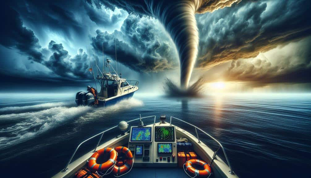
We employ Doppler radar to measure wind velocities and identify areas of shear, which are pivotal in the development of waterspouts. This data-driven approach enables us to pinpoint regions with heightened risk. Additionally, real-time storm tracking tools help us monitor the movement and intensity of storms, offering a dynamic perspective that static images can't provide.
Furthermore, integrating data from multiple sources enhances our predictive accuracy. For instance, combining radar data with satellite imagery helps us understand how upper-level wind patterns might influence surface conditions.
Utilizing these advanced tools, we can make informed decisions about when and where to focus our efforts, maximizing both our safety and the effectiveness of our storm-chasing endeavors. Embracing this technology empowers us to navigate the unpredictable nature of waterspouts with greater precision and confidence.
Key Indicators to Watch
Building on our technological capabilities, we must focus on specific atmospheric conditions that serve as key indicators for potential waterspout formation.
Let's start with cloud formations. A waterspout often develops from cumulus or cumulonimbus clouds, so spotting these is essential. We should look for low-hanging, dark clouds with a rotating base. These formations can signal the early stages of a waterspout.
Wind patterns play a significant role as well. Convergence zones, where winds from different directions meet, create the rotational motion necessary for waterspouts. By analyzing wind shear data, we can identify areas with the right conditions for rotation. High-resolution Doppler radar is invaluable here, giving us real-time data on wind speeds and directions.
Next, we need to take into account atmospheric conditions. Waterspouts are more likely to form in unstable atmospheres with significant vertical temperature gradients. When the air temperature drops rapidly with altitude, the probability of a waterspout increases.
Lastly, water temperature is another vital factor. Warmer sea surfaces can enhance convection, providing the energy needed for waterspout formation. Monitoring sea surface temperatures using satellite data allows us to pinpoint hotspots where waterspouts are more likely to occur.
Safety Precautions and Protocols
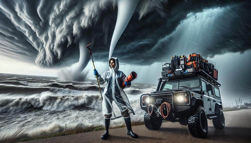
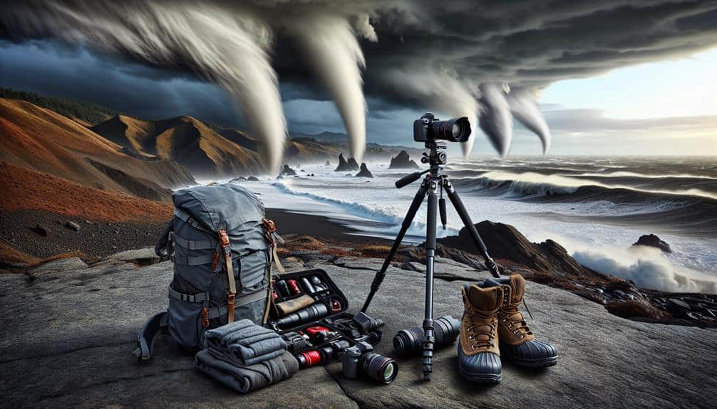
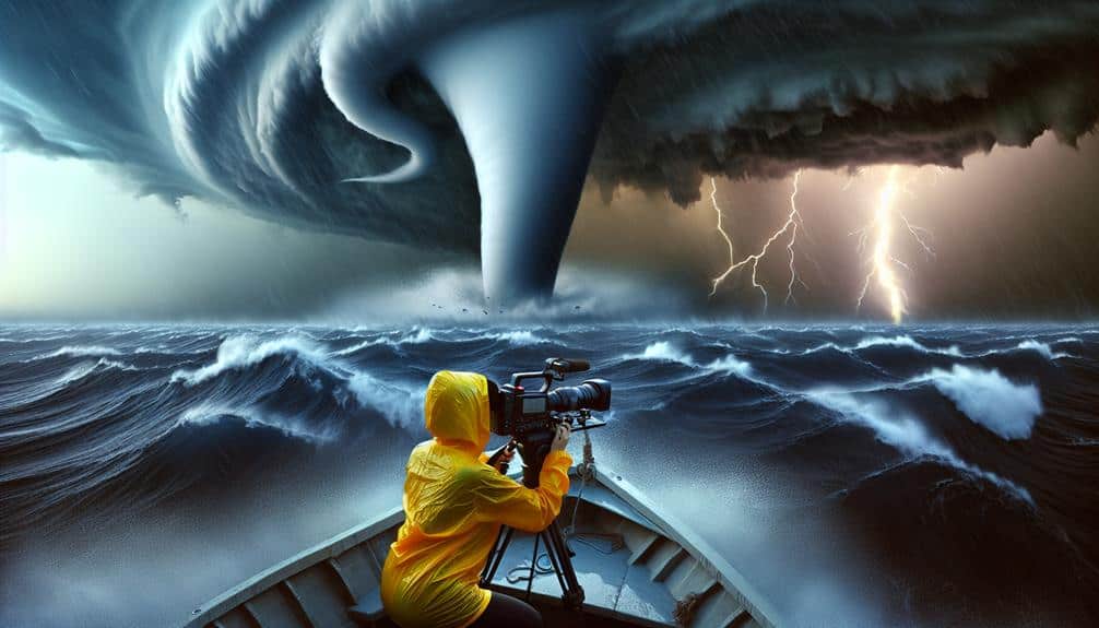
Ensuring the safety of our team and equipment while chasing storms requires stringent protocols and real-time decision-making. We prioritize safety measures such as wearing appropriate personal protective equipment (PPE), securing vehicles, and maintaining a safe distance from the storm's core.
Data-driven strategies guide our actions, incorporating radar imaging, satellite data, and real-time weather updates. Our protocols mandate a pre-chase briefing, where we analyze atmospheric conditions, wind patterns, and potential waterspout formation zones. This allows us to anticipate hazards and activate emergency response plans proactively.
When on the field, we use GPS tracking to monitor our position relative to the storm, ensuring we're not caught off-guard by sudden shifts in weather patterns. Communication is critical. We employ a multi-channel communication system, including radios, mobile networks, and satellite phones, ensuring constant contact among team members and with local emergency services.
In case of an imminent threat, our emergency response protocol includes predetermined evacuation routes and rendezvous points.
Frequently Asked Questions
What Are the Best Locations Globally to Observe Waterspouts?
We've identified the Florida Keys, Great Lakes, and the Gulf of Mexico as prime locations for observing waterspouts. Perfect conditions and effective chasing strategies include monitoring sea temperatures and wind patterns for best data-driven predictions.
How Do Waterspouts Impact Marine Wildlife?
How do waterspouts impact marine wildlife? We might uncover surprising effects on marine ecosystems. Waterspouts can disrupt wildlife behavior, forcing adaptation. Our conservation efforts must consider these phenomena to protect biodiversity and maintain ecological balance.
Can Historical Data Predict Future Waterspout Activity?
We believe historical data can enhance forecast accuracy for predicting waterspout activity. By analyzing statistical trends, we can identify patterns and improve our predictive models, ultimately giving us more freedom to anticipate and respond to these phenomena.
What Are the Differences Between Waterspouts and Tornadoes?
Did you know waterspouts form over water 95% of the time? While both share formation processes and behavior similarities, safety precautions differ. Identification techniques often involve observing the environment's moisture level and temperature gradients.
Are There Specific Months or Seasons When Waterspouts Are More Common?
We observe that waterspouts have peak months typically in late summer and early fall, driven by seasonal trends. Weather patterns and regional variations notably influence their formation, with warmer coastal areas showing higher activity during these periods.