You can report severe weather to the National Weather Service through five primary channels: online web forms at weather.gov, direct phone calls to your regional forecast office, social media platforms like X and Facebook, email submissions to office-specific addresses, or through ham radio and CoCoRaHS networks. Report tornadoes, funnel clouds, hail ≥1 inch diameter, wind gusts ≥58 mph, and significant flooding. Include precise decimal degree coordinates, quantifiable measurements, and accurate time-stamps for radar correlation. The sections below provide detailed protocols for maximizing your report’s meteorological value.
Key Takeaways
- Report tornadoes, funnel clouds, hail ≥1 inch, wind gusts ≥58 mph, or significant flooding through multiple National Weather Service channels.
- Submit reports via online web forms, phone calls to regional forecast offices, email, social media, or ham radio networks.
- Include precise location using coordinates, distance from towns, mile markers, or landmarks for accurate radar correlation and verification.
- Provide measurable details: hail size comparisons, wind damage indicators, event timing, and flood depth or rise rate documentation.
- Time-stamp observations precisely to help forecasters correlate reports with radar data and issue timely warnings for public safety.
Understanding What Weather Events Require Reporting
When severe weather threatens your area, recognizing which phenomena require immediate reporting to the National Weather Service can mean the difference between timely warnings and preventable casualties. You’ll need to report tornadoes—violently rotating columns contacting the ground—and funnel clouds that haven’t yet touched down.
Any hail warrants reporting, with stones ≥1 inch meeting severe criteria. Wind gusts ≥58 mph require immediate notification, particularly when you’re identifying hazardous ground conditions like uprooted trees or structural damage.
Report water rapidly rising over roads, flooded buildings, and streams reaching bankfull conditions. Measurable snowfall exceeding a dusting demands reporting to the nearest 0.1 inch. While monitoring atmospheric pressure changes provides valuable context, focus on observable phenomena: rotation, precipitation size, wind speed, and water levels.
Methods for Submitting Your Severe Weather Report
After identifying reportable weather phenomena, you’ll transmit your observations through multiple channels established by the National Weather Service’s regional forecast offices. Online web forms provide direct data entry for real time monitoring at offices including Mobile/Pensacola, Blacksburg, Duluth, Indianapolis, and State College.
You can contact offices via phone—Mobile/Pensacola at 251-633-6443 or State College’s 800 number for trained SkyWarn spotters. Social media platforms accept reports through X (x.com/NWSMobile) and Facebook, with Indianapolis monitoring @NWSIndianapolis using #inwx and #nwsind hashtags. Email submissions reach nws.indianapolis@noaa.gov and similar office-specific addresses.
Ham radio operators and CoCoRaHS network participants enhance regional coordination through specialized reporting channels. Law enforcement and emergency personnel should indicate their affiliation when submitting observations through any method.
Providing Accurate Location Information
Why does accurate location data determine whether your severe weather report reaches the correct National Weather Service office and generates timely warnings? You’ll need precise coordinates in decimal degrees—capture them directly from your smartphone GPS at the exact observation point. Specify distance and cardinal direction from the nearest town: “5 miles northwest of Columbus, Franklin County, Ohio.” Include mile markers on highways or reference fixed landmarks like airports. For rural location reporting, use farm names or rural route addresses.
Complete these location verification steps: cross-check coordinates using satellite imagery, confirm responsible NWS forecast office by county, and distinguish your position from the event’s location. Time-stamp your report to enable radar correlation. Avoid vague descriptions—exact measurements guarantee proper office assignment and rapid warning dissemination.
Essential Details to Include in Your Report
Your severe weather report must contain specific quantifiable measurements that enable National Weather Service meteorologists to classify storm intensity and issue appropriate warnings. When describing hail types and sizes, use standard comparisons—marble (1/2 inch), golf ball (1.75 inches)—and note whether stones reach the severe threshold of 1 inch diameter. Document hail accumulation depth and any resulting damage to property or crops.
For wind reports, specifying wind impact indicators proves essential. Estimate gusts through observed damage: shingles removed indicates 58+ mph, while snapped trees suggest 55-63 mph velocities. Report structural damage separately from non-structural effects.
Include precise timing—when conditions began, peaked, and ended. For flooding events, specify water depth, rise rate, and source type. Report multiple concurrent hazards independently, ensuring meteorologists receive complete situational data.
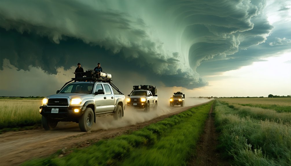
Identifying and Verifying Rotating Storm Features
When reporting severe weather to the National Weather Service, you’ll need to distinguish true rotating features from benign cloud formations that generate most false tornado reports. Understanding storm structure provides visual clues for accurate identification:
- Wall clouds display circular updraft bases with rotation about a vertical axis, sloping downward toward precipitation areas
- Funnel clouds exhibit smooth, rapidly rotating edges suspended aloft without ground contact
- Tornadoes maintain ground contact verified by circulating debris or dust at surface level—don’t wait for condensation funnel visibility
Scud clouds present ragged, non-rotating edges that cause most misidentifications. When heavy precipitation obscures cloud base features, observe striations and low-level inflow bands indicating rotation. Verify sustained rotation over time rather than momentary movement, ensuring your reports meet NWS accuracy standards.
Frequently Asked Questions
Will I Receive Confirmation or Feedback After Submitting My Weather Report?
You won’t typically receive automatic report confirmation from NWS. They’ll contact you only if clarification’s needed. However, your observation timeliness directly impacts warning accuracy and community safety, so submit detailed measurements immediately without expecting routine feedback.
Can I Report Weather Events That Occurred Several Hours Ago?
Yes, you can report past event documentation to NWS. Include precise weather event details: exact time, location coordinates, measurements (wind speeds, hail diameter), and damage observed. Timely reports help forecasters verify radar data and improve future warnings for your area.
What Should I Do if I’m Unsure My Observation Meets Criteria?
Don’t self-censor your observations. You should consider reporting anyway if you’ve witnessed notable weather phenomena. Meteorologists need your ground-truth data to verify radar signatures and report significant changes, ensuring accurate warnings protect your community’s safety and autonomy.
Are There Liability Concerns When Reporting Severe Weather Observations?
No liability concerns exist for you when reporting severe weather observations to NWS. Your voluntary reports integrate into multi-source verification systems. Focus on reporting accuracy using precise measurements—hail diameter, wind speed estimates—without legal risk or attribution.
How Does NWS Distinguish Between Trained Spotter and Public Reports?
You’ll demonstrate volunteer observer credentials through your assigned Skywarn ID number and damage assessment training, while public observation reliability depends on verifiable details like exact measurements, timestamps, and location coordinates without requiring formal certification or specialized meteorological knowledge.