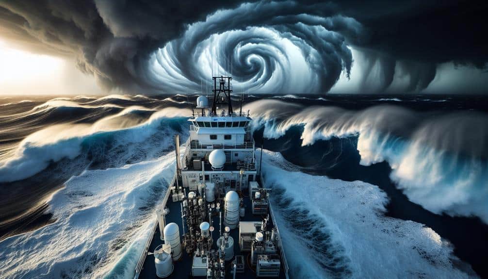
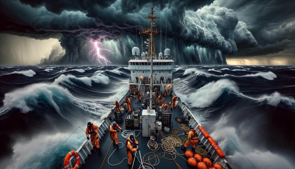
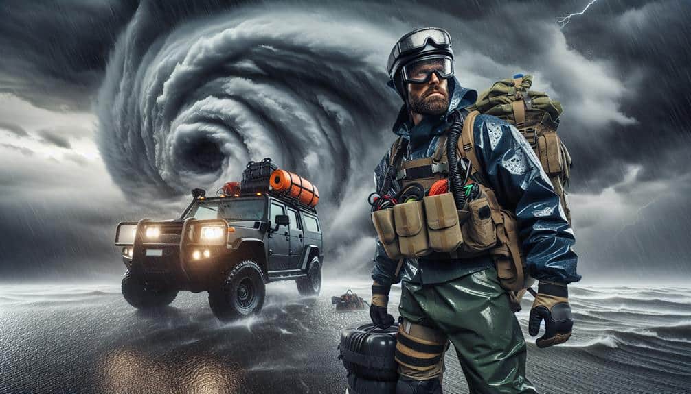
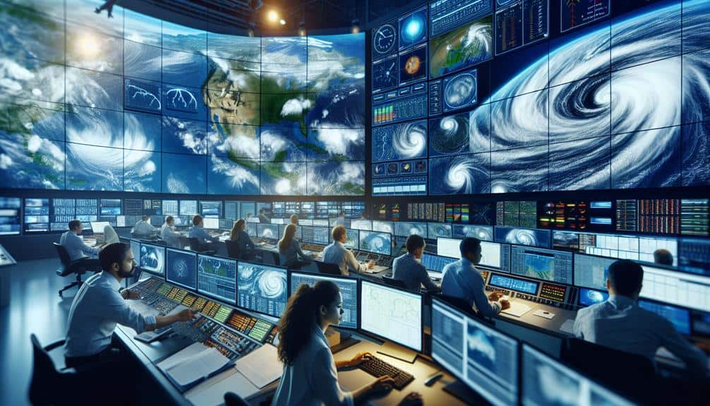
We plan effective hurricane research expeditions with detailed logistics, advanced meteorological instruments, and rigorous safety protocols. We use Doppler radar and dropsondes to gather real-time data on wind speeds and atmospheric conditions. Our team operates in reinforced gear and relies on satellite communication and GPS for accurate navigation. We navigate hazardous zones using high-resolution satellite imagery and guarantee safety through training and emergency drills. Data from underwater drones and weather balloons are essential for in-depth analysis. Our use of advanced statistical software helps us interpret trends and refine predictive models, enhancing our understanding of hurricane dynamics further.
Key Points
- Utilize advanced meteorological instruments like Doppler radar and dropsondes for real-time data on hurricane dynamics.
- Ensure team proficiency in communication and navigation systems, including satellite communication and GPS.
- Conduct rigorous training on equipment operation, data understanding, and emergency procedures for all team members.
- Implement stringent safety protocols and conduct emergency drills to ensure crew safety during expeditions.
Preparing for the Expedition
Before starting on a hurricane research expedition, we must meticulously plan our logistics, equipment, and safety protocols. A key part of our preparation involves creating detailed checklists. These checklists guarantee that every aspect of our operation is accounted for, from securing necessary permits to verifying the functionality of communication devices.
Each item on our list is essential; overlooking even minor details could compromise the entire mission.
Equally important is team training. Our team must be proficient in operating all equipment, understanding meteorological data, and executing emergency procedures. Training sessions are designed to simulate real-life scenarios, providing us with the confidence and skill to handle unexpected events.
We also emphasize the importance of clear communication and teamwork, as these are critical under the high-pressure conditions we'll face.
Essential Equipment and Tools
For our hurricane research expeditions, we depend on advanced meteorological instruments to collect accurate data.
Sturdy protective gear is vital to guarantee our safety in extreme conditions.
Moreover, strong communication and navigation systems are critical for maintaining coordination and operational efficiency.
Advanced Meteorological Instruments
Advanced meteorological instruments, such as Doppler radar and dropsondes, are critical for accurately measuring and analyzing the intricate dynamics of hurricanes. These tools empower us to capture real-time data on wind speeds, temperature gradients, and pressure systems, allowing for precise forecasting.
Remote sensing technologies, particularly satellite imagery, play an integral role in providing extensive overviews of hurricane formation and progression.
We deploy Doppler radar to gauge wind velocities and precipitation rates within the storm. This radar system utilizes the Doppler effect to measure changes in frequency, giving us detailed insights into the storm's internal structure.
Dropsondes, released from aircraft into the hurricane, descend through the atmosphere collecting vertical profiles of temperature, humidity, and barometric pressure. These instruments relay data back to us, enabling the construction of accurate models of the storm's behavior.
Satellite imagery offers a macro perspective, helping us track the hurricane's trajectory and intensity over vast areas. High-resolution images from geostationary satellites allow for continuous monitoring, while polar-orbiting satellites provide detailed snapshots at regular intervals.
Durable Protective Gear
Durable protective equipment, such as reinforced helmets, waterproof suits, and impact-resistant gloves, is vital for guaranteeing the safety of researchers during hurricane expeditions. We depend on the durability and functionality of this gear to withstand extreme conditions, like high winds and heavy rain. Helmets need to be reinforced to shield against debris, while waterproof suits keep us dry and insulated. Impact-resistant gloves are crucial for handling equipment safely.
Maintaining this gear is just as important as its initial selection. Regular gear upkeep ensures that all items remain in the best condition. We follow strict safety protocols to inspect and service each piece of equipment before and after every expedition. This includes checking for wear and tear, making sure waterproof seals are intact, and confirming that helmets and gloves maintain their impact resistance.
The durability of our protective gear directly relates to our ability to perform research tasks effectively. If our suits or helmets fail, our safety and the integrity of our data collection are compromised. Therefore, we prioritize high-quality, reliable equipment, understanding that our freedom to explore and gather data hinges on these essential tools.
With proper gear and adherence to safety protocols, we can focus on our mission with confidence.
Reliable communication and navigation systems are indispensable for coordinating activities and guaranteeing safety during hurricane research expeditions. We rely heavily on these technologies to maintain situational awareness and make informed decisions. Without robust systems, the unpredictability of hurricanes could pose insurmountable challenges.
Satellite communication is our primary tool for real-time data transmission. It enables us to stay connected with shore-based teams and other vessels, even in remote oceanic regions. Additionally, GPS tracking provides precise location data, critical for navigation and tracking storm movements. Our team must be adept at using these systems to ensure we're always in the right place at the right time.
Key components include:
- Satellite phones and internet: Guarantee uninterrupted communication regardless of weather conditions.
- GPS devices: Provide accurate, real-time location data essential for navigation and research.

Sailing through hurricane zones requires precise coordination, advanced technology, and thorough understanding of meteorological patterns. We rely heavily on storm tracking systems to navigate these perilous waters.
High-resolution satellite imagery and Doppler radar are indispensable tools for real-time monitoring of storm trajectories. This data helps us identify safe passage routes, minimizing risk to crew and equipment. Adhering to stringent safety protocols is paramount, ensuring that everyone aboard is well-prepared for potential emergencies.
Our research objectives are closely tied to our ability to navigate these zones effectively. By analyzing atmospheric and oceanic data, we aim to improve predictive models and understand the impacts of hurricanes on marine ecosystems. Advanced software allows us to process vast amounts of data, enabling precise analysis and actionable insights.
Data analysis doesn't just help us achieve our research goals; it also informs our navigational decisions. We integrate findings from previous expeditions to refine our strategies continually. This iterative process enhances our capability to conduct safe and productive missions, aligning our scientific pursuits with the freedom and safety our crew values.
We've learned that meticulous planning and cutting-edge technology are essential for successful hurricane research at sea.
Data Collection Methods
In our hurricane research expeditions, we focus on instrumentation and tools to gather accurate data.
We employ a range of sampling techniques to guarantee thorough coverage and reliability.
Instrumentation and Tools
To effectively study hurricanes, we deploy an array of sophisticated instruments and tools designed to collect precise meteorological data. Our arsenal includes underwater drones, weather balloons, and other specialized equipment that enable us to capture a wide range of atmospheric and oceanic variables. These tools provide us with the essential data needed to understand the dynamics of hurricanes and improve forecasting models.
To keep our research robust and all-encompassing, we utilize:
- Underwater Drones: These autonomous vehicles can navigate through the turbulent waters beneath a hurricane, gathering data on ocean temperature, salinity, and currents. This information is vital for understanding the energy exchange between the ocean and the atmosphere.
- Weather Balloons: Equipped with various sensors, these balloons ascend through the storm, transmitting real-time data on temperature, humidity, pressure, and wind speed. They help us map the vertical structure of the hurricane and track its development.
Sampling Techniques
We utilize a combination of remote sensing and direct measurement techniques to gather extensive data on hurricane behavior and environmental impact. Our remote sensing tools, including satellite imagery and aerial drones, provide large-scale atmospheric and oceanic data with high sampling efficiency. These methods allow us to monitor storm development, track movement, and measure sea surface temperatures without direct intervention.
For direct measurements, we deploy ocean buoys, dropsondes, and ship-based instruments. Ocean buoys continuously record parameters like wind speed, barometric pressure, and wave height, giving us real-time data accuracy. Dropsondes, released from aircraft, measure vertical profiles of temperature, humidity, and wind, which are essential for understanding storm dynamics. Ship-based instruments, including anemometers and barometers, offer precise, localized data during expeditions.
Combining these techniques enhances our data interpretation and statistical analysis capabilities. Remote sensing provides broad coverage, while direct measurements validate satellite data and offer detailed insights. This hybrid approach guarantees robust data accuracy and reliability.
Ensuring Crew Safety

Prioritizing rigorous training and cutting-edge equipment, we guarantee our crew's safety during hurricane research expeditions. Our all-encompassing approach ensures we're prepared for the unpredictable nature of hurricanes. We implement stringent safety protocols and conduct regular emergency drills, making sure every team member knows their role in a crisis.
- Detailed safety briefings before each expedition
- Real-time monitoring systems for weather updates
First, our safety protocols mandate that all crew members undergo extensive training on the equipment and emergency procedures. This training isn't a one-time event but a continuous process, reinforcing knowledge and adapting to new technologies.
Second, we conduct emergency drills regularly. These drills simulate various emergency scenarios, from equipment failure to sudden weather changes, ensuring our crew can respond efficiently and effectively. These exercises are vital for cultivating a culture of safety and preparedness.
Lastly, our cutting-edge equipment includes real-time monitoring systems that provide constant weather updates, allowing us to make informed decisions swiftly. We also maintain onboard medical facilities staffed with trained personnel, ready to handle any medical emergencies.
Analyzing Gathered Data
With the crew's safety protocols firmly established, our focus shifts to the meticulous process of analyzing the gathered data. Data analysis begins with the organization of our collected datasets, which includes wind speeds, barometric pressure readings, and ocean temperature variations.
We employ advanced statistical software to identify significant trends within this vast array of information. Recognizing these patterns is pivotal, as they offer insights into the hurricane's behavior and potential trajectory.
Next, we interpret these trends to formulate our findings. For example, a sudden drop in barometric pressure often correlates with the intensification of the storm. By cross-referencing this with wind speed data, we can predict the hurricane's strengthening phases. Additionally, ocean temperature analysis helps us understand energy exchanges that fuel the storm, providing further context to our interpretations.
Our findings are then meticulously documented, ensuring that every data point and its implications are clearly articulated. This detailed interpretation allows us to refine predictive models, ultimately enhancing our understanding of hurricane dynamics.
Frequently Asked Questions
What Qualifications Are Required to Join a Hurricane Research Expedition Team?
To join a hurricane research expedition team, we need qualifications like specific training requirements, robust field experience, and strong team dynamics. We must also possess technical skills and adaptability to thrive in challenging, fast-paced environments.
How Do Research Expeditions Impact Local Marine Life and Ecosystems?
We observe significant environmental impacts on marine biodiversity during research expeditions. By studying these, we develop adaptation strategies to enhance ecosystem resilience, ensuring the local marine life can adapt and thrive despite the disturbances.
What Are the Ethical Considerations of Conducting Research in Hurricane Zones?
We must consider the environmental impact and prioritize community engagement. Ethical data collection requires transparency and respect for local ecosystems. Research ethics demand we balance scientific goals with the responsibility to protect the affected regions.
How Are Research Findings Communicated to the Public and Policymakers?
We use media outreach and stakeholder engagement to disseminate our findings, boost public awareness, and drive policy advocacy. By doing this, we guarantee that both the public and policymakers are informed and can act on our research.
What Are the Long-Term Goals of Hurricane Research Expeditions?
Our long-term goals include understanding climate impact and enhancing disaster preparedness. We aim to improve prediction models, inform policy, and minimize hurricane-related damages, ensuring communities can better prepare and protect their freedoms during such events.

