As researchers studying hurricanes, we rely on advanced tools like Doppler radar, dropsondes, and satellite imagery to gather real-time data on hurricane dynamics. Our equipment includes GPS-enabled weather balloons and drones to monitor wind speeds, pressure changes, and precipitation patterns. Safety is paramount; we use high-resilience helmets, waterproof suits, and GPS personal locator beacons. Navigating challenging weather conditions, we adhere to strict protocols and maintain constant communication. Continuous monitoring and data integration from past hurricanes like Katrina and Maria help refine predictive models and enhance disaster preparedness. For thorough insights, further exploration will be highly beneficial.
Key Points
- Storm chasers use Doppler radar and dropsondes to collect high-resolution data on hurricane dynamics in real-time.
- Real-time satellite imagery and GPS-enabled weather balloons provide detailed measurements of wind speeds and precipitation.
- Advanced protective gear and safety protocols are critical for researchers working in extreme hurricane conditions.
- Continuous data collection enhances forecasting models, improving disaster preparedness and emergency response strategies.
The Role of Storm Chasers
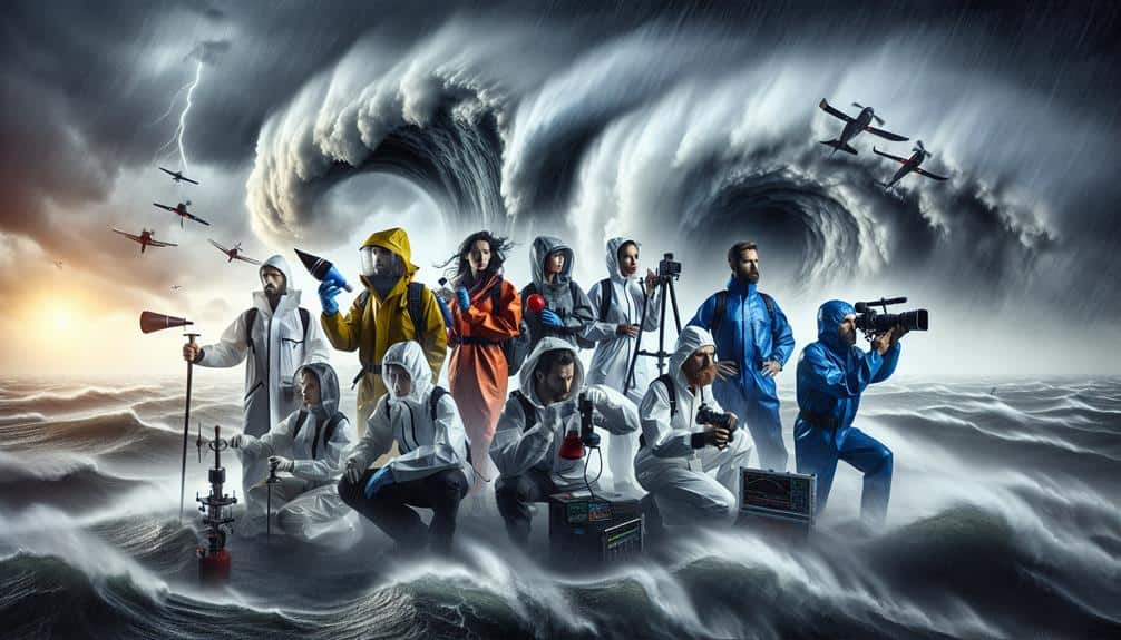
Storm chasers play a critical role in gathering real-time data that enhances our understanding of hurricane dynamics. By chasing storms, we can collect invaluable data on wind speeds, pressure changes, and precipitation patterns directly from the heart of these powerful systems. Our research strategies often involve deploying mobile Doppler radar units and utilizing GPS-enabled weather balloons to obtain high-resolution measurements.
Through these methods, we can capture the intricate details of storm structure and behavior, which are otherwise impossible to obtain from satellite imagery alone. This data feeds directly into predictive models, improving the accuracy of hurricane forecasts and ultimately aiding in disaster preparedness. By being on the front lines, we guarantee that meteorological models aren't just based on theoretical constructs but are grounded in empirical evidence.
In addition, our field observations allow us to validate and refine existing research strategies. For instance, by comparing real-time data collected during storm chases with historical data, we can identify patterns and anomalies that inform future studies. This iterative approach not only enhances our scientific understanding but also empowers communities to make informed decisions, thereby fostering a sense of freedom and security amid nature's most formidable forces.
Essential Equipment for Researchers
When studying hurricanes, we depend on advanced data collection tools such as Doppler radar systems, satellite imaging, and unmanned aerial vehicles to gather precise meteorological data.
Equally important is our protective gear, including reinforced vehicles and specialized clothing, to guarantee safety amidst extreme conditions.
Together, these elements allow us to collect accurate data while minimizing risk.
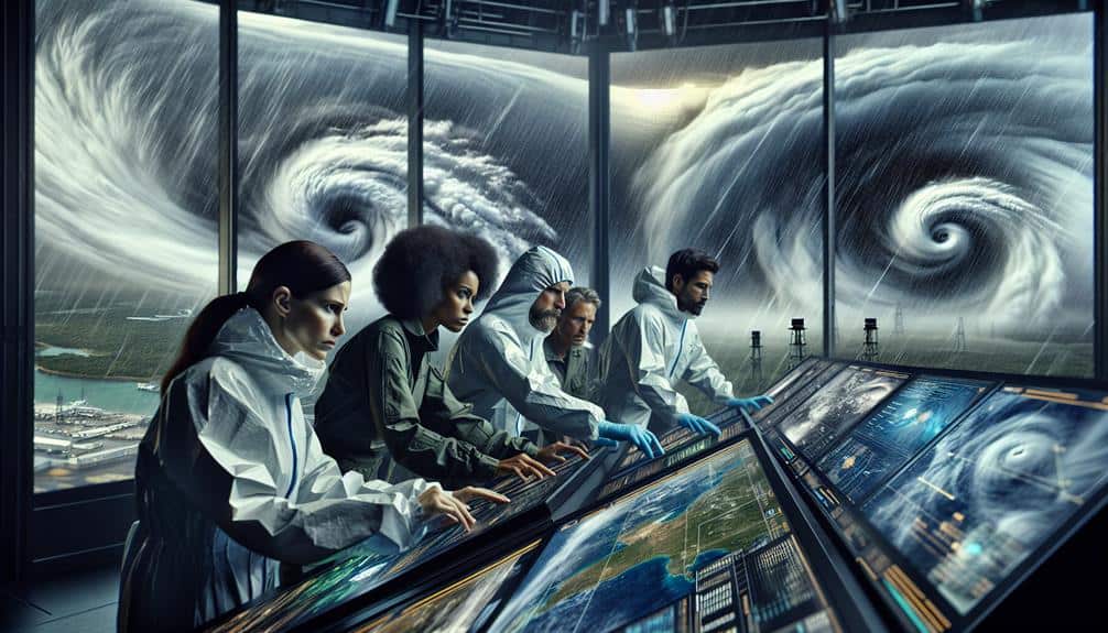
Data Collection Tools
Researchers depend on a set of advanced instruments like Doppler radar, dropsondes, and satellite imagery to gather precise data on hurricane dynamics. These tools allow us to capture vital information from various layers of the atmosphere, enhancing the accuracy of our models.
Remote sensing via satellites provides a macro view, enabling us to monitor storm development in real time and track changes in sea surface temperatures, cloud formations, and wind patterns.
We also deploy drone technology, which has revolutionized our data collection capabilities. Equipped with sensors and cameras, drones can navigate the most hazardous areas of a storm that manned aircraft can't safely access. This gives us high-resolution data on wind speed, pressure, and humidity at different altitudes.
Dropsondes, released from aircraft, descend through the hurricane, transmitting data on temperature, pressure, and humidity back to our ground stations. This vertical profiling is essential for understanding the storm's structure and intensity changes.
Doppler radar, meanwhile, offers detailed insights into wind speeds and precipitation within the storm, helping us pinpoint areas of extreme activity. By integrating data from these varied sources, we gain a thorough understanding of hurricane behavior, ultimately contributing to better predictive models and more effective early warning systems.
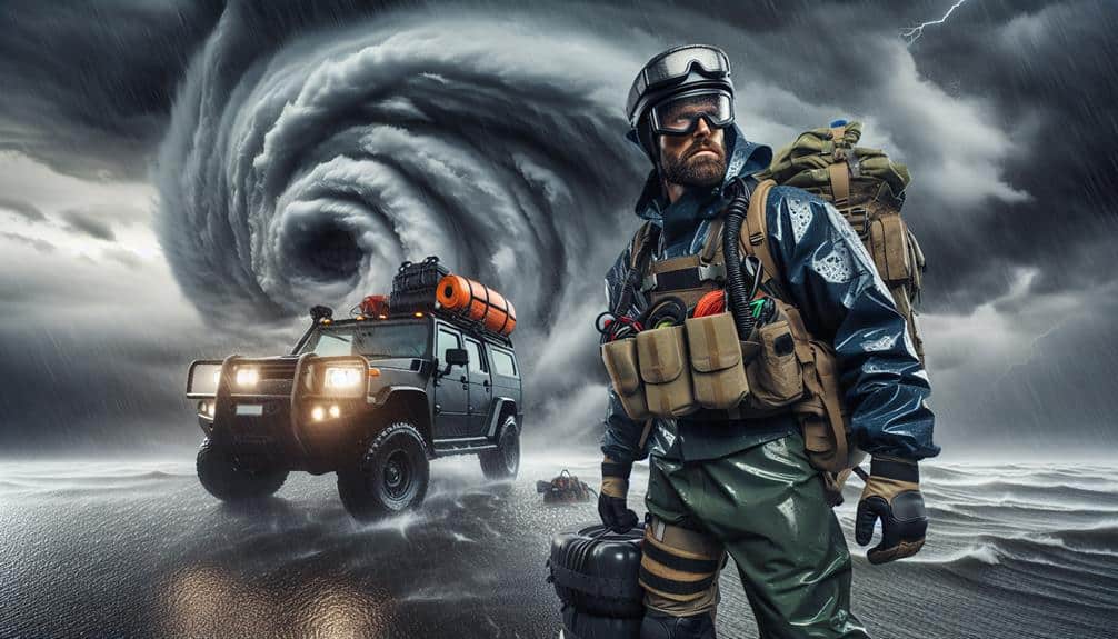
Protective Gear Essentials
Equipping ourselves with cutting-edge protective gear is crucial to guarantee safety and data integrity while studying hurricanes in extreme weather conditions. Our gear includes high-resilience helmets, reinforced gloves, waterproof suits, and steel-toed boots. Each piece is engineered to withstand extreme wind speeds and torrential rain, making sure we remain protected against debris and other hazards.
Proper preparation is key. Before deployment, we meticulously inspect and test our gear. Gear maintenance is an ongoing process—checking for wear and tear, cleaning after each use, and conducting periodic stress tests to ensure functionality.
Safety tips include double-checking helmet straps, ensuring gloves fit snugly to maintain dexterity, and verifying the waterproof integrity of our suits.
Emergency procedures are non-negotiable. We always carry emergency beacons and GPS devices, enabling rapid location tracking if stranded. First aid kits, extensive in scope, are mandatory. Communication protocols are established, guaranteeing constant contact with our base and quick dispatch of rescue teams if necessary.
When maneuvering through dangerous conditions, we prioritize adherence to stringent safety protocols and the utilization of specialized gear.
Our ability to collect real-time data hinges on these measures, ensuring both accuracy and researcher safety.
Safety Protocols and Gear
To guarantee our safety while studying hurricanes, we rely on advanced gear and strict protocols specifically crafted to navigate extreme weather conditions effectively. Our safety guidelines require the use of high-durability outerwear, reinforced helmets, and specialized communication devices. This gear is designed to withstand wind speeds surpassing 150 mph and torrential rainfall, ensuring we remain operational even in the most severe conditions.
We also adhere to thorough emergency procedures. Before venturing into the field, we conduct detailed risk assessments and simulations. These preparatory steps help us anticipate potential hazards and plan our response strategies meticulously. During field operations, we maintain constant communication with our home base using satellite phones and encrypted radios, which are essential for timely updates and emergency coordination.
Our protective gear includes GPS-enabled personal locator beacons, which allow for rapid location tracking if any team member gets separated from the group. Additionally, we employ advanced first-aid kits and portable AED units to address any medical emergencies promptly. These procedures and equipment ensure not only our safety but also our ability to collect critical data without compromising personal well-being.
The combination of these safety measures empowers us to explore and understand the complexities of hurricanes while maintaining the freedom to operate under extreme conditions.
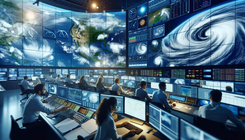
Real-time Data Collection
Collecting real-time data in the midst of a hurricane requires precise instrumentation and well-coordinated efforts to guarantee data integrity and researcher safety. We rely on a combination of satellite monitoring, weather balloons, and ground-based sensors to capture the most accurate data. This multifaceted approach enables us to analyze the storm's progression and intensity meticulously.
When maneuvering through these hazardous conditions, our strategy includes:
- Satellite Monitoring: High-resolution satellites provide continuous, real-time imagery of hurricane formations, offering vital insights into storm structure and movement patterns.
- Weather Balloons: These instruments are launched into the storm to collect vertical profiles of temperature, humidity, and wind speed. They transmit data back to us, allowing for real-time adjustments in our predictive models.
- Ground-Based Sensors: Deployed in strategic locations, these sensors measure key variables such as barometric pressure, wind speed, and rainfall. The data gathered enhances our understanding of how hurricanes impact specific regions.
Data Collection Techniques
In order to gather accurate and detailed data on hurricanes, we employ a variety of advanced data collection techniques, including satellite imagery, aerial reconnaissance, and ocean buoys.
Satellite imagery provides us with a thorough view of the storm's structure and movement. High-resolution images from geostationary satellites allow us to monitor cloud formations, wind patterns, and precipitation intensities in real-time. This data is vital for predicting the hurricane's path and potential impact zones.
Drones have revolutionized our ability to collect data in the most dangerous parts of a hurricane. Equipped with advanced sensors, these unmanned aerial vehicles can penetrate the eyewall of the storm, collecting crucial information such as wind speed, temperature, and pressure. This data helps us refine our models and improve the accuracy of our forecasts.
Ocean buoys, strategically placed across hurricane-prone regions, provide continuous data on sea surface temperatures, wave heights, and barometric pressure. This information is necessary for understanding the energy dynamics that fuel hurricanes.
Case Studies of Notable Hurricanes

Analyzing historical hurricanes such as Katrina, Irma, and Maria allows us to identify patterns and refine predictive models based on empirical data. By studying these events, we can better understand factors like storm surge and wind speed, which are critical in evaluating a hurricane's potential impact.
1. Hurricane Katrina (2005)
Katrina brought unprecedented storm surge levels, peaking at over 27 feet in some areas. The hurricane's sustained wind speeds reached 175 mph, causing catastrophic damage to New Orleans due to levee failures. This case highlighted the importance of integrating storm surge data into evacuation planning and infrastructure resilience.
2. Hurricane Irma (2017)
Irma set records with wind speeds of up to 185 mph, maintaining this intensity for 37 hours. The storm surge reached 10 feet in parts of Florida, inundating coastal communities. Evaluating Irma revealed the need for real-time wind speed tracking to improve predictive models and emergency response.
3. Hurricane Maria (2017)
With wind speeds of 175 mph, Maria devastated Puerto Rico, causing widespread power outages and infrastructure collapse. The storm surge, although less severe, still caused significant coastal flooding. Maria underscored the necessity of robust infrastructure and the critical role of wind speed data in emergency preparedness.
These case studies emphasize the need for continuous improvement in our predictive capabilities and preparedness strategies.
Safety Measures and Protocols
To lessen the devastating impacts of hurricanes, we implement strict safety measures and protocols that are informed by the latest meteorological data and historical analyses. Our primary focus is on thorough risk assessment, which involves analyzing storm surge models, wind speed projections, and precipitation patterns. By leveraging advanced meteorological tools, we can predict the potential impact zones with high accuracy.
Once a risk assessment is completed, we develop targeted emergency procedures. These procedures include evacuation plans, resource allocation, and communication strategies. For instance, we designate evacuation routes based on real-time traffic data and population density maps to ensure efficient mass movement.
Resource allocation involves pre-positioning supplies such as food, water, and medical kits in safe zones, minimizing time-to-availability in crisis situations.
Communication strategies are critical, requiring us to establish robust lines of information dissemination. Utilizing satellite communication and emergency broadcast systems, we guarantee timely updates reach affected populations. Our protocols also mandate regular drills and simulations, so both emergency personnel and the public are well-prepared.
Impact on Meteorological Science
Hurricane research has revolutionized meteorological science by providing unprecedented insights into storm dynamics, predictive modeling, and climate interactions. Through rigorous research advancements, we've greatly enhanced forecasting accuracy, allowing us to predict hurricane paths and intensities with remarkable precision. This progress is vital for minimizing human and economic losses.
Technological innovations have played a pivotal role in these advancements. We've developed sophisticated tracking methods using satellites, drones, and radar systems, enabling us to monitor hurricanes in real-time. These tools provide essential data, such as wind speed, pressure changes, and precipitation rates, which are necessary for accurate predictive models.
Our research has led to three major improvements:
- Improved Predictive Models: Integrating vast datasets and machine learning algorithms has enhanced the precision of hurricane forecasts, reducing error margins and increasing lead times.
- Advanced Tracking Technologies: Innovations like the Global Precipitation Measurement (GPM) mission and high-resolution radar systems allow us to track storm development and progression with exceptional detail.
- Climate Interaction Studies: By understanding how hurricanes interact with larger climate systems, we've gained insights into long-term patterns, aiding in the prediction of future storm activities and their potential impacts.
These advancements reflect our dedication to leveraging cutting-edge science for greater societal resilience and freedom.
Frequently Asked Questions
How Do Hurricanes Form in Tropical Regions?
Hurricane formation in tropical regions starts when warm ocean water evaporates, rising and cooling to form clouds. The Coriolis effect then induces rotation. We analyze this process with satellite data and atmospheric models to understand these powerful systems.
What Are the Economic Impacts of Hurricanes on Affected Regions?
We've observed that hurricanes lead to significant infrastructure damage, overwhelming the tourism industry. Insurance claims surge, complicating recovery efforts. Data shows economic losses often amount to billions, stalling financial freedom in affected regions for years.
How Do Climate Change and Global Warming Influence Hurricane Activity?
Rising temperatures and changing patterns act like a brewing storm, intensifying hurricanes. We observe significant environmental consequences, prompting us to develop adaptation strategies. Our data-driven analysis shows a clear link between global warming and increased hurricane intensity.
What Are the Psychological Effects on Communities Post-Hurricane?
We recognize that post-hurricane, psychological effects include trauma and anxiety. Community resilience improves greatly with effective mental health support, reducing long-term impacts. Data indicates that timely mental health interventions foster recovery and enhance overall community well-being.
How Can Individuals Prepare for an Approaching Hurricane?
We can prepare for an approaching hurricane by assembling emergency kits with essentials like water, food, and medical supplies. Additionally, identifying and familiarizing ourselves with evacuation routes guarantees we can quickly and safely relocate if necessary.