To accomplish real-time storm monitoring success, we must invest in high-accuracy meteorological tools like dual-polarization radar and maintain these devices rigorously. We should utilize reliable data from meteorological agencies and satellite networks to track storm patterns accurately. Integrating advanced technology, including predictive models and machine learning, guarantees precise storm predictions. Collaboration with other storm chasers enhances data accuracy and observational coverage, while adherence to stringent safety protocols guarantees operational safety. If we follow these data-driven strategies, we'll dramatically improve our storm monitoring outcomes—all details essential for further exploration.
Key Points
- Utilize high-precision meteorological tools and advanced radar systems for accurate storm tracking.
- Integrate satellite imagery with radar data for comprehensive storm analysis.
- Employ predictive models and machine learning for real-time storm predictions.
- Collaborate with other storm chasers for enhanced observational coverage and data accuracy.
Invest in Quality Equipment
To achieve real-time storm monitoring success, we must invest in high-precision meteorological tools and advanced radar systems. These instruments are the foundation of our monitoring capabilities, allowing us to track storm development and movement with unmatched accuracy. By prioritizing equipment maintenance and timely upgrades, we guarantee our systems remain in peak working condition, minimizing the risk of data inaccuracies that could jeopardize our response strategies.
Advanced radar systems, like dual-polarization radar, offer detailed information on precipitation varieties, storm intensity, and potential dangers. High-precision meteorological tools, such as anemometers and barometers, provide real-time atmospheric pressure, wind speed, and direction information. Sustaining these devices necessitates regular calibration and technical inspections, safeguarding their precision and dependability.
Additionally, investing in training and certification programs for our meteorologists and technicians is essential. Thorough training ensures our team can proficiently operate and interpret data from advanced equipment, while certification validates their expertise. This dual approach not only improves our storm monitoring capabilities but also empowers our team to act promptly and confidently during critical situations.
Utilize Reliable Data Sources
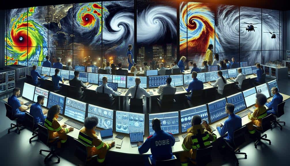
We rely on reputable meteorological agencies and satellite networks to provide accurate and timely weather data essential for storm monitoring.
Real-time storm tracking depends on the integration of satellite imagery and weather radar systems. These tools allow us to detect storm formations, track their paths, and predict their potential impact with high precision.
Satellite imagery offers a bird's-eye view of the Earth's atmosphere, capturing data on cloud cover, temperature variations, and moisture levels. This data is vital for identifying developing storm systems and understanding their dynamics. High-resolution satellite images enable us to monitor storms over vast oceanic expanses where ground-based observations are limited.
Weather radar complements satellite data by providing ground-based, high-frequency electromagnetic waves that reflect off precipitation particles. This radar data gives us detailed insights into storm intensity, movement, and structure. Doppler radar, in particular, is invaluable for measuring wind speeds and detecting rotation within storm cells, which is essential for tornado warnings.
Stay Updated With Technology
Leveraging advanced technology is crucial for enhancing real-time storm monitoring abilities. By embracing tech progressions, we can greatly enhance our monitoring methods. Tools such as remote sensing and predictive modeling enable us to gather and analyze meteorological data with greater precision and speed.
Remote sensing technology, including satellites and radar systems, allows us to observe atmospheric conditions from a distance, providing a thorough view of storm development. These systems offer vital data on parameters like wind speed, humidity, and temperature, which are crucial for accurate storm analysis. The integration of high-resolution satellite imagery and Doppler radar data enhances our ability to identify storm patterns and potential threats in real-time.
Predictive modeling, on the other hand, utilizes intricate algorithms and historical data to forecast storm trajectories and intensities. By continuously updating models with the latest data, we can generate more reliable predictions, giving us the flexibility to make informed decisions swiftly. Advanced predictive models incorporate machine learning techniques, improving their accuracy over time as they learn from new storm events.
Staying updated with the latest technological advancements ensures we remain at the forefront of storm monitoring, enabling us to protect lives and property more efficiently.
Let's embrace these innovations and enhance our capabilities in real-time storm tracking.
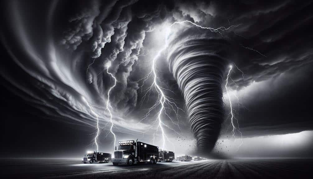
Collaborate With Other Chasers
Collaborating with other storm chasers allows us to pool resources, share real-time data, and enhance the accuracy of our storm tracking efforts. By leveraging collective expertise, we can increase our observational coverage and capture important meteorological data comprehensively. Effective team dynamics are vital; each member must understand their role, from data collection to analysis, to maximize efficiency.
Utilizing advanced communication strategies is essential for maintaining real-time coordination. Tools such as GPS mapping software, encrypted radio channels, and mobile data networks provide robust platforms for instantaneous information exchange. These technologies allow us to relay updates on storm movement, intensity, and potential hazards, ensuring everyone is on the same page.
Our collaborative efforts also involve cross-verifying data to eliminate discrepancies and enhance predictive models. By integrating various data sources, including satellite imagery, radar scans, and on-the-ground observations, we attain a multi-faceted understanding of storm behavior. This synergy not only boosts our situational awareness but also empowers us to make informed decisions swiftly.
In essence, our collective expertise and real-time data sharing form the foundation of successful storm monitoring, providing us the freedom to explore and understand nature's most dynamic phenomena safely and effectively.
Prioritize Safety Protocols
Guaranteeing the safety of all team members demands strict adherence to established safety protocols and continuous risk assessment. We can't overstate the significance of having a detailed safety plan in place, including predefined emergency response procedures.
Our team must be proficient in recognizing hazardous conditions and responding swiftly. This involves regular training sessions on the latest safety measures and technologies.
Data-driven decisions are essential. We utilize real-time meteorological data and advanced predictive models to anticipate storm paths and intensity. This allows us to avoid high-risk areas and make informed decisions about when to retreat. Communication systems must be reliable; constant updates via satellite phones or encrypted radio channels ensure we're never out of touch.
Each vehicle should be equipped with essential safety gear: first aid kits, fire extinguishers, and GPS tracking devices. In the event of an emergency, having a well-rehearsed evacuation plan is crucial.
We must also coordinate with local emergency response units, ensuring they're aware of our location and objectives.
Frequently Asked Questions
How Can I Interpret Storm Data to Make Accurate Predictions?
We can interpret storm data by performing thorough data analysis, identifying patterns and anomalies. By leveraging advanced algorithms and historical data, we enhance prediction accuracy, empowering us to make more informed decisions while retaining our freedom to act.
What Are the Best Apps for Real-Time Storm Alerts?
Isn't it a coincidence we were just discussing storm data interpretation? For real-time storm alerts, we recommend apps with advanced weather radar and emergency notifications like MyRadar, WeatherBug, and NOAA Weather Radar Live.
How Do I Choose the Best Locations for Storm Chasing?
To choose prime locations for storm chasing, we focus on strategic positioning within stormy territories. We analyze meteorological data, prioritize safety precautions, and target areas with high storm activity while ensuring accessible escape routes.
What Should I Do if My Communication Tools Fail During a Storm?
If our communication tools fail during a storm, we should activate our backup plans and emergency procedures immediately. We'll use communication alternatives and enforce safety precautions to guarantee data continuity and maintain operational safety.
How Can I Stay Informed About Changing Weather Patterns Long-Term?
We can stay informed about changing weather patterns by utilizing advanced weather tracking methods and employing long-term forecasting techniques. Continuous data analysis and reliable models guarantee we're always aware and prepared for any meteorological shifts.