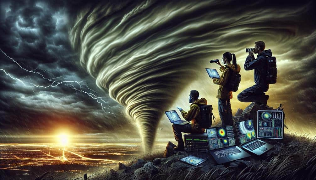
Enhancing storm interception with advanced weather analysis techniques hinges on our ability to synthesize atmospheric dynamics, radar technology, satellite data, predictive modeling, and real-time monitoring. By analyzing temperature gradients and wind patterns, we can predict storm trajectories more accurately. Doppler radar and dual-polarization radar provide high-resolution data for tracking storm systems minute by minute. Satellite imagery offers a thorough view of precipitation and cloud formations, crucial for identifying storm intensity. Machine learning algorithms refine our predictive models, enhancing forecast precision. Integrating all these tools allows us to respond effectively to severe weather events, maximizing public safety and preparedness. Discover how these cutting-edge techniques interlace for comprehensive storm management.
Key Points
- Utilize Doppler radar for real-time tracking of wind speeds and storm cell rotation to optimize storm interception.
- Leverage satellite thermal infrared imagery to identify storm intensity and predict paths accurately.
- Implement predictive modeling techniques, such as ensemble forecasting and machine learning, for improved storm behavior forecasts.
- Integrate radar reflectivity data to assess rainfall intensity and flood risks during storm interception.
Understanding Atmospheric Dynamics
Understanding atmospheric dynamics is vital for accurately predicting storm patterns and optimizing interception strategies. We need to thoroughly analyze temperature gradients and wind patterns to forecast storm trajectories.
Temperature gradients, the differences in temperature between two points, drive wind patterns that can either amplify or dissipate storm systems. By tracking these gradients, we can pinpoint areas where storms are likely to form and intensify.
Pressure systems play an important role too. High-pressure systems generally lead to calmer weather, while low-pressure systems are associated with stormier conditions. Monitoring these systems helps us determine the potential severity and path of storms.
When low-pressure systems coincide with significant moisture levels, the likelihood of severe weather increases. Elevated moisture levels provide the fuel storms need to grow stronger and more unpredictable.
Utilizing Radar Technology
Radar technology provides us with real-time, high-resolution data crucial for tracking and analyzing storm systems with unmatched precision. By leveraging radar applications, we can dissect storm structures, monitor precipitation patterns, and predict storm trajectories accurately.
Doppler radar, for instance, measures the velocity of precipitation particles, allowing us to estimate wind speeds and identify potential rotation within storm cells. This capability is essential for early detection of tornadoes and severe thunderstorms.
We utilize radar reflectivity data to quantify rainfall intensity, which informs flood risk assessments and emergency response strategies. Dual-polarization radar adds another layer of detail by distinguishing between types of precipitation, such as rain, hail, and snow. This differentiation enhances our storm tracking capabilities, allowing us to tailor our responses to the specific threats posed by different weather phenomena.
Moreover, radar technology's temporal resolution enables us to track storm evolution minute-by-minute, providing dynamic updates that are crucial during severe weather events. By integrating radar data with other meteorological tools, we achieve a thorough view of storm systems, supporting better decision-making and resource allocation.
Through these advanced radar applications, we empower ourselves to navigate and mitigate the impacts of severe weather with greater autonomy and precision.
Satellite Data Interpretation
Complementing our radar technology, satellite data interpretation provides an expansive, top-down perspective on storm systems, enabling us to analyze atmospheric conditions over vast geographical areas. By leveraging satellite imagery, we can monitor weather patterns with an exceptional degree of detail and accuracy. These images offer real-time data on cloud formations, precipitation, and temperature gradients, giving us a thorough view of storm development and progression.
Using advanced algorithms, we can process this satellite data to extract crucial insights. For instance, by analyzing thermal infrared imagery, we can identify cloud top temperatures, which are instrumental in determining storm intensity. Additionally, visible spectrum imagery allows us to track the movement and evolution of weather patterns over time, pinpointing areas of high risk.
Satellite data interpretation also aids in the detection of mesoscale features such as squall lines and supercells, which are vital for storm interception strategies. By integrating this data with ground-based observations, we enhance our situational awareness, enabling more informed decision-making. This holistic approach ensures that we not only anticipate storm behavior but also act proactively, minimizing risks and optimizing resource allocation.
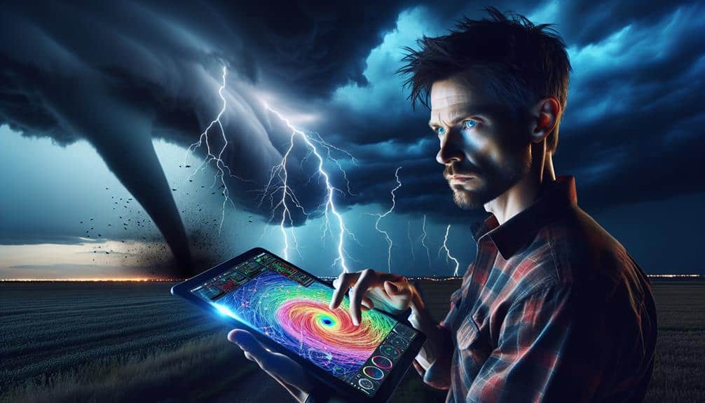
Predictive Modeling Techniques
Predictive modeling methods enable us to forecast storm behavior with unprecedented precision by leveraging vast datasets and sophisticated algorithms. By integrating ensemble forecasting, we can combine multiple models to produce a probabilistic prediction, enhancing our ability to foresee storm paths and intensities. This approach reduces uncertainty by averaging outcomes from different models, thereby providing a more robust prediction framework.
Machine learning algorithms play a pivotal role in refining these forecasts. They analyze historical storm data to identify patterns and relationships that traditional statistical methods might overlook. By training on large datasets, these algorithms can adapt to new data, improving their forecasting capabilities over time.
For example, neural networks and support vector machines can process complex, nonlinear relationships within meteorological data, leading to more precise storm predictions.
We also use data assimilation techniques to integrate real-time observations into our models, continually updating and refining our forecasts. This iterative process ensures that our models remain responsive to the latest atmospheric conditions.
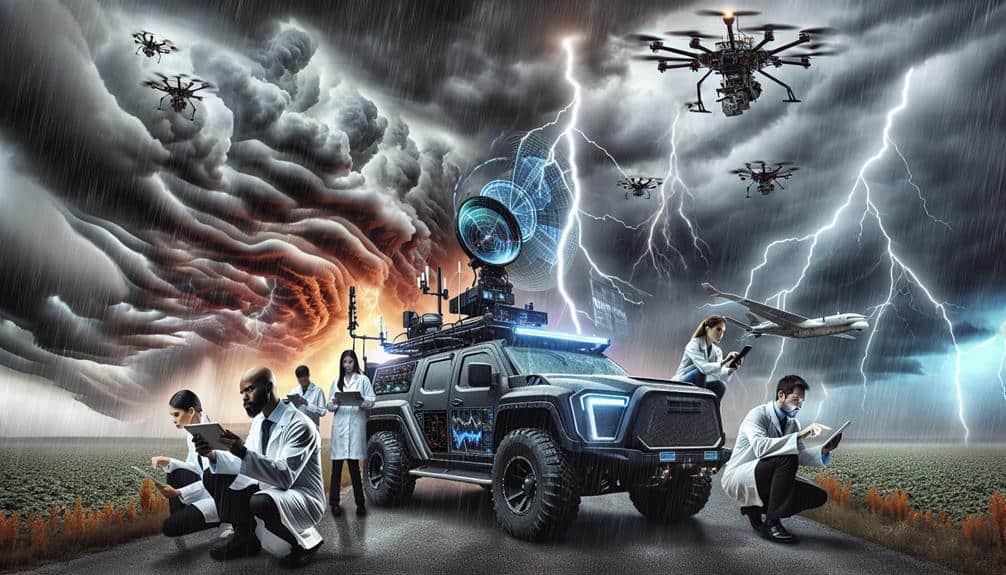
Real-Time Weather Monitoring
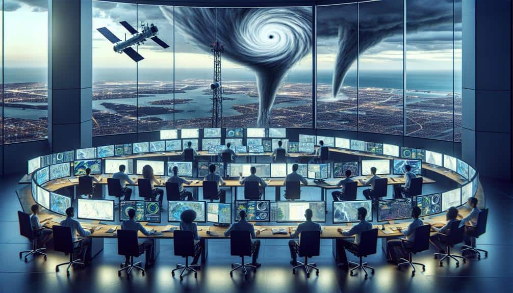
Through the integration of satellite imagery, ground-based sensors, and weather radars, we achieve thorough real-time weather monitoring that allows us to track storm developments minute-by-minute. Leveraging these technologies, we utilize advanced meteorological algorithms to process vast amounts of data instantaneously. This ensures our storm tracking isn't only precise but also timely.
Real-time weather monitoring empowers us to make informed decisions swiftly. By employing cutting-edge data visualization techniques, we can convert complex datasets into intuitive and actionable insights. This capability is crucial for:
- Identifying storm patterns: We pinpoint the genesis and progression of storm systems.
- Predicting storm paths: Our algorithms forecast potential trajectories with high accuracy.
- Assessing storm intensity: We measure critical parameters such as wind speed, precipitation rates, and atmospheric pressure.
The integration of these technologies facilitates enhanced weather forecasting, allowing us to anticipate and mitigate the impacts of severe weather events. This comprehensive approach not only augments our ability to intercept storms but also aligns with our commitment to freedom—empowering individuals and communities with the information they need to stay safe and make autonomous decisions.
Frequently Asked Questions
What Are the Best Safety Protocols for Storm Interception Teams?
When the storm roars like a lion, our safety measures and communication must be reliable. We guarantee our equipment and preparation are excellent, using data-driven insights to keep everyone safe and maintain our freedom to operate.
How Can Public Awareness Be Improved Using Advanced Weather Analysis?
We can improve public awareness by leveraging advanced weather analysis for targeted public engagement campaigns. Analytical insights drive community outreach, ensuring data-driven, precise communication that empowers individuals to make informed, autonomous decisions regarding storm preparedness.
What Are the Ethical Considerations in Storm Interception?
In the grand scheme of things, ethical dilemmas arise from storm interception's potential community impact. We must balance data-driven decisions with freedom to guarantee safety without infringing on individual liberties. Analyzing these factors is paramount.
How Does Storm Interception Impact Local Communities?
When we intercept storms, the community impact includes enhanced emergency response, but we can't ignore environmental effects and infrastructure damage. Data shows that while some damages decrease, localized disruptions often rise, requiring balanced, freedom-focused approach.
What Training Is Required for Professionals in Storm Interception?
We're talking about a Herculean level of meteorology education and grueling field experience. Professionals need extensive training, encompassing data analysis, predictive modeling, and hands-on storm tracking to master the art of storm interception.