We prioritize using advanced tools like Doppler radar systems and weather satellites to track storm trajectories with high efficiency. Mobile weather apps and high-resolution models provide real-time updates. Storm-tracking software offers enhanced predictive accuracy, while drones and weather balloons gather vital atmospheric data. Lightning detection networks and social media alerts keep us informed about the storm's current status. These tools, combined with real-time data integration, allow us to monitor and predict storm paths effectively. Want to know the specifics of each tool and how they contribute to more accurate storm tracking?
Key Points
- Doppler Radar Systems offer accurate storm path predictions using the Doppler effect for velocity measurement.
- Weather Satellites provide real-time data collection and high-resolution imaging for precise storm predictions.
- Storm-Tracking Software utilizes advanced algorithms and radar data for real-time severe weather monitoring.
- Real-Time Location Monitoring with GPS devices ensures accurate tracking of storm movements.
Doppler Radar Systems
Doppler radar systems, which utilize the Doppler effect to measure velocity, are essential for accurately tracking storm trajectories. By emitting radar waves and analyzing their frequency shift when they bounce back from moving precipitation, we can determine the speed and direction of storm components. This capability allows us to predict storm paths, giving communities the vital information they need to prepare and respond.
Nonetheless, Doppler radar limitations do exist. One significant constraint is range; the radar's accuracy diminishes with distance due to the Earth's curvature and atmospheric conditions. In addition, Doppler radar struggles to detect low-lying phenomena, like tornadoes, when they're obscured by intense precipitation. Another issue is the radar's resolution; it can sometimes miss smaller features within a storm that could be essential for forecasting.
Despite these limitations, future advancements hold promise. Emerging technologies, such as phased-array radar, offer higher resolution and faster update rates, improving our ability to track rapidly evolving storm systems. Furthermore, integrating artificial intelligence and machine learning algorithms can enhance data interpretation, making predictions more accurate.
Weather Satellites
Let's examine how weather satellites enhance our storm tracking capabilities.
They provide real-time data collection and high-resolution imaging, which are critical for accurate storm trajectory predictions.
Real-Time Data Collection
Weather satellites provide us with real-time data essential for accurately tracking storm trajectories. Through advanced technology, we're able to gather a wealth of information that's vital for predicting storm paths.
These satellites continuously monitor atmospheric conditions, capturing critical variables such as wind speed, humidity, and temperature. By leveraging data analytics, we can process this massive stream of information to identify patterns and trends in storm development.
To enhance our predictive capabilities, we employ machine learning algorithms. These algorithms analyze historical storm data in conjunction with real-time satellite feeds, enabling us to forecast storm trajectories with unprecedented accuracy. Machine learning models can detect subtle changes that precede storm formation and movement, providing early warnings and valuable insights.
The integration of real-time data collection with sophisticated data analytics and machine learning allows us to make informed decisions swiftly. This technological synergy not only optimizes our storm tracking processes but also empowers us to act proactively, minimizing potential damage and safeguarding lives.
As we continue to refine these tools, we move closer to achieving a state of preparedness and resilience against the unpredictable forces of nature.
High-Resolution Imaging
High-resolution imaging from weather satellites allows us to capture detailed visual data of storm systems, enhancing our ability to track and analyze their development. By leveraging remote sensing technology, we can observe atmospheric dynamics in near real-time. This capability is essential for storm chasers and meteorologists alike, as it provides a clearer picture of storm formation and movement.
Weather satellites equipped with advanced sensors offer unparalleled insights into cloud structures, wind patterns, and precipitation rates. These high-resolution images enable us to detect minute changes in a storm's intensity and trajectory, which are vital for accurate weather forecasting. With this data, we can predict potential landfall locations and the severity of impending weather events more precisely.
Furthermore, high-resolution satellite imaging supports the study of atmospheric dynamics by offering continuous monitoring of large-scale weather systems. This continuous stream of detailed data enhances our understanding of how storms interact with various atmospheric layers and geographical features.
For those who crave the freedom to explore and understand our planet's weather phenomena, these imaging tools are indispensable. They empower us to make informed decisions and take proactive measures in the face of nature's most formidable forces.
Mobile Weather Apps
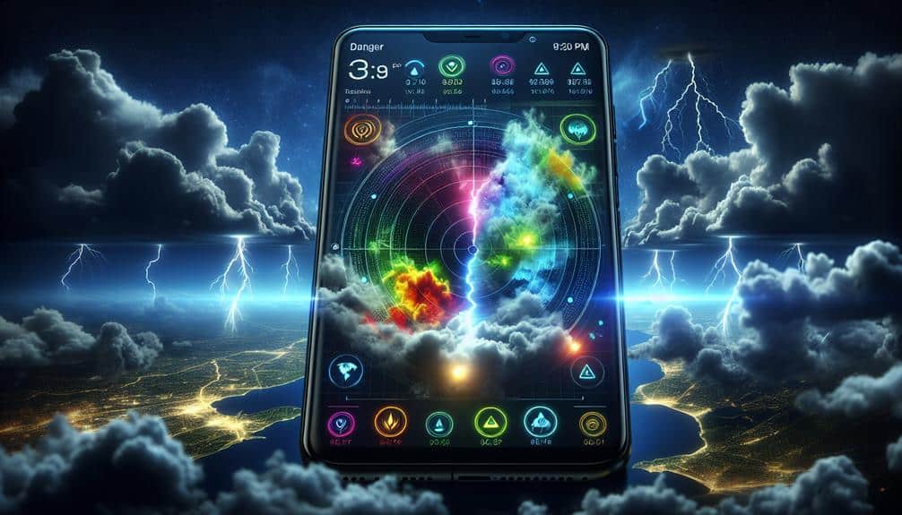
Mobile weather apps provide real-time updates and detailed forecasts, making them essential tools for tracking storm trajectories. These apps empower us to monitor storm development and movement with precision.
Storm chasers rely heavily on mobile weather apps for their ability to deliver up-to-the-minute data on storm paths, wind speeds, and precipitation levels. This real-time information is vital for making swift, informed decisions in the field.
For emergency response teams, mobile weather apps are equally important. The capability to receive instant alerts and warnings allows these teams to mobilize resources and personnel efficiently, potentially saving lives and reducing property damage. Features such as GPS integration and interactive maps enhance situational awareness, enabling first responders to visualize storm impact areas and plan evacuation routes effectively.
Moreover, the user-friendly interfaces of these apps make it easy for us to access complex meteorological data without specialized training. Many apps also offer customizable notifications, ensuring we're alerted to significant weather changes that could affect our safety.
High-Resolution Models
Let's focus on high-resolution models, which enhance predictive accuracy by incorporating finer details of atmospheric conditions.
These models integrate real-time data from various sensors, enabling us to track storm trajectories with greater precision.
Enhanced Predictive Accuracy
In recent years, advancements in high-definition models have greatly improved our ability to predict storm trajectories with greater accuracy. We've seen significant strides in improved forecasting techniques, allowing us to better understand and anticipate storm paths. These models incorporate advanced storm modeling that accounts for variables brought about by climate change impacts, thereby providing a more thorough picture of potential storm behaviors.
By leveraging cutting-edge data visualization tools, we can transform vast amounts of meteorological data into clear, actionable insights. These tools enable us to visualize complex storm patterns and interpret them more efficiently, making it easier to communicate risks and prepare for potential impacts. High-definition models utilize granular data points, which enhance the precision of our predictions and help us adapt more effectively to the ever-changing climate.
Moreover, the integration of improved forecasting techniques with advanced storm modeling allows us to make more proactive decisions. We can now predict not just the trajectory but also the intensity and potential damage of storms with unprecedented accuracy. This level of predictive accuracy is essential for safeguarding lives and properties, giving us the freedom to respond more effectively to severe weather events.
Real-Time Data Integration
Real-time data integration in high-resolution models allows us to track storm trajectories with unparalleled precision and immediacy. By leveraging sophisticated data visualization techniques and Geographic Information Systems (GIS), we can dynamically interpret vast datasets from various sources, including satellite imagery and weather stations. This integration facilitates the creation of detailed storm models that evolve in real-time, providing actionable insights for timely decision-making.
We harness machine learning algorithms to further refine these models, enabling predictive analytics that adapt as new data streams in. These algorithms analyze patterns and anomalies within the data, enhancing our ability to forecast storm paths and potential impact areas. Utilizing advanced data analytics platforms, we aggregate and process information at an unprecedented scale, ensuring that our models remain both accurate and current.
The synergy between high-resolution models and real-time data integration transforms our approach to storm tracking. We can now visualize storm trajectories on detailed maps, overlaying various data layers to assess risks comprehensively. This empowers us to make informed decisions swiftly, reducing the uncertainty that often accompanies severe weather events.
Storm-Tracking Software
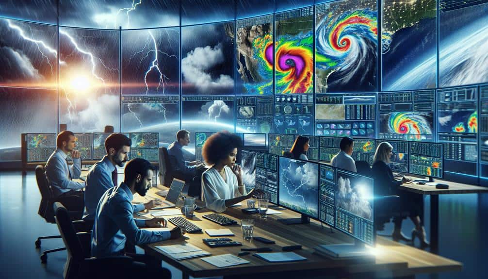
Storm-tracking software leverages advanced algorithms and real-time data to predict and monitor the paths of severe weather systems. By utilizing sophisticated meteorological models, these tools offer essential insights that are invaluable for both storm chasing adventures and emergency preparedness.
As we navigate the increasing unpredictability of weather patterns due to climate change, storm-tracking software becomes an indispensable asset for crafting effective disaster response strategies.
We can't overstate the importance of accurate predictions in mitigating the impacts of severe weather. High-resolution radar data and satellite imagery feed into these algorithms, providing real-time updates that enable us to anticipate storm trajectories with remarkable precision. This is particularly vital when communities need to make rapid decisions about evacuations and resource allocation.
Additionally, storm-tracking software supports a wide array of functionalities tailored to different needs. For instance, some platforms offer customizable alert systems that can notify users of imminent threats. Others provide detailed analytics that can inform long-term planning and resilience initiatives.
In a world where the frequency and intensity of storms are escalating, having access to such precise tools empowers us to respond more effectively and maintain our freedom to live safely and securely.
GPS Devices
Our GPS devices offer real-time location monitoring, which is vital for tracking storm movements accurately.
With high accuracy mapping, we can pinpoint storm trajectories with great precision.
This technology enables us to make timely and informed decisions during severe weather events.
Real-Time Location Monitoring
GPS devices enable us to pinpoint storm locations with exceptional precision, enhancing our ability to monitor and predict their trajectories in real-time. By leveraging satellite data, these devices provide up-to-the-minute information on storm movements, which is vital for both emergency response and public safety. The integration of GPS technology into storm tracking systems allows us to relay accurate location data to emergency responders swiftly, ensuring timely evacuations and preparations.
When we consider the technical aspects, GPS devices operate by receiving signals from multiple satellites, triangulating their position with high accuracy. This capability is crucial in rapidly changing weather conditions, where every second counts. The real-time updates from GPS devices mean that we can adjust our strategies on the fly, mitigating risks and minimizing potential damage.
Furthermore, GPS-based real-time location monitoring empowers individuals and communities by giving them access to accurate storm trajectory information. This autonomy allows people to make informed decisions, reducing reliance on delayed reports from traditional media sources. As a result, public safety is significantly improved, as communities can prepare proactively for incoming storms, ultimately leading to fewer casualties and less property damage.
High Accuracy Mapping
Utilizing real-time location monitoring, we can now focus on how high precision mapping with GPS devices enhances storm tracking and prediction capabilities. By employing these advanced tools, we gain accuracy in monitoring storm intensity and path prediction. GPS devices offer unparalleled precision, often within a few meters, allowing us to pinpoint exact storm locations and predict their trajectories more effectively.
High precision mapping enables us to collect and analyze data in real time, which is comprehensive for understanding storm dynamics. When storms are tracked with precise coordinates, we can analyze changes in storm intensity and adjust our predictive models accordingly. This real-time data is invaluable for both short-term and long-term planning, providing us with the insights needed to mitigate potential damage and enhance public safety.
Moreover, GPS devices facilitate the integration of various data sources, such as satellite imagery and meteorological data, to create detailed models of storm behavior. This multi-faceted approach allows us to refine path predictions, giving communities more time to prepare and respond.
Drones for Storm Tracking
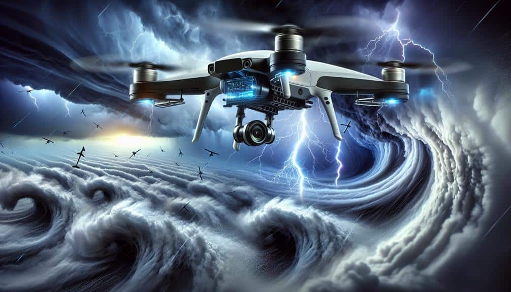
Utilizing drones for storm tracking provides unprecedented real-time data collection and enhances predictive accuracy. Drone technology advancements have transformed storm research, allowing us to gather crucial information that was previously inaccessible. By deploying drones during storm chasing missions, we can capture high-resolution data on wind speeds, temperature, humidity, and atmospheric pressure.
The capabilities of drones in storm tracking include:
- Real-time Data Transmission: Drones can send live data feeds, enabling meteorologists to make timely updates and forecasts.
- Extended Range and Endurance: Modern drones can cover vast areas and remain airborne for extended periods, essential for tracking long-duration storms.
- High-Resolution Imaging: Equipped with advanced sensors and cameras, drones provide detailed visual and thermal imagery, critical for analyzing storm dynamics.
These capabilities empower us to better understand storm formation, development, and trajectory. By leveraging drone technology, we're pushing the boundaries of storm research, making our forecasting methods more robust and reliable.
As we continue to innovate, drones will play an increasingly indispensable role in enhancing our predictive accuracy and ensuring public safety.
Weather Balloons
Weather balloons, equipped with an array of sensors, ascend into the atmosphere to provide essential data on temperature, humidity, and pressure at various altitudes. By analyzing balloon trajectories, we can gather atmospheric data necessary for accurate storm forecasting.
These balloons navigate through different atmospheric layers, transmitting real-time information back to ground stations. This data helps us understand the vertical structure of the atmosphere, which is vital for predicting storm behavior and development.
Weather balloon technology has evolved significantly, making these tools more reliable and efficient. Modern balloons can reach altitudes of up to 40 kilometers, offering a detailed view of the atmospheric conditions that influence storm trajectories.
As they rise, radiosondes attached to the balloons record and transmit data, allowing meteorologists to construct detailed atmospheric profiles. This information is then fed into advanced weather models, enhancing our ability to predict the path and intensity of storms.
In storm forecasting, the precision and detail of the atmospheric data collected by weather balloons are invaluable. By integrating this data with other tracking tools, we achieve a higher degree of accuracy in our storm trajectory predictions.
This empowers us to take timely actions, safeguarding lives and property while maintaining our freedom to make informed decisions.
Lightning Detection Networks
Lightning detection networks play an important role in tracking and predicting storm trajectories by providing real-time data on lightning strikes. These networks enable us to analyze storm behavior with unprecedented precision, thanks to significant lightning detection advancements.
By capturing data on lightning activity, we can better understand a storm's intensity and potential path. The effectiveness of these networks largely depends on their coverage and the improvements in data accuracy they've achieved. Modern networks can pinpoint lightning strikes with remarkable accuracy, offering crucial insights that help in storm behavior analysis. This allows us to make more informed decisions and take appropriate actions in a timely manner.
Key benefits of lightning detection networks include:
- Real-time data: Immediate access to lightning strike information, which is important for timely storm tracking.
- Enhanced accuracy: Advanced sensors and algorithms improve data precision, aiding in more precise storm predictions.
- Widespread coverage: Extensive network coverage ensures thorough monitoring, even in remote areas.
Social Media Alerts
As storm tracking technology evolves, social media alerts have become an essential tool for disseminating real-time updates and warnings to the public. Platforms like Twitter and Facebook allow meteorologists and emergency response teams to quickly share critical information, enhancing community engagement during severe weather events. We can monitor storm trajectories and promptly alert the public, thereby reducing response times and potentially saving lives.
However, leveraging social media for emergency response brings its own set of challenges. Data privacy is a significant concern; sharing precise location data can violate user privacy. To address this, we must make sure that alerts are general enough to protect individual identities while still being specific enough to be actionable.
Another critical issue is misinformation detection. With the speed at which information spreads on social media, false reports can cause panic and confusion. We need robust systems to verify the authenticity of storm-related posts and filter out any misleading content.
Frequently Asked Questions
How Can I Prepare My Home for an Approaching Storm?
When a storm's on the horizon, we should focus on home reinforcement and identifying evacuation routes. Guarantee property protection with shutters and sandbags. Stock emergency supplies like water, food, and first aid kits to stay safe and free.
What Are the Signs of a Storm Forming?
We can identify storm formation by monitoring storm detection systems. Changes in atmospheric conditions such as pressure drop, temperature shifts, and increasing humidity indicate storm development. Satellite imaging provides vital data for analyzing these atmospheric changes accurately.
How Do I Create a Family Emergency Plan for Storms?
To create a family emergency plan for storms, we should identify evacuation routes and shelter options, establish a communication plan, and list emergency contacts. These steps guarantee we're prepared and can act quickly when needed.
What Items Should Be in an Emergency Storm Kit?
In our emergency storm kit, we need water, non-perishable food, first aid supplies, flashlights, batteries, and essential medications. Let's include items for emergency shelter and a communication plan to stay connected during the storm.
How Can I Stay Safe During a Storm if I'm Outdoors?
To guarantee outdoor safety during a storm, we should seek emergency shelter immediately. Utilize storm survival techniques and proper outdoor gear to protect ourselves. Effective use of resources and quick thinking are essential for our safety.

