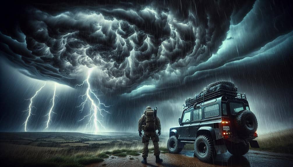
We intercept severe thunderstorms using a multi-faceted approach, combining real-time meteorological data and advanced radar techniques to identify target storms. We employ precision weather models, GPS mapping, and mobile radar units to track storm paths accurately. Safety protocols are critical, ensuring all team members are trained and equipped with emergency response tools. Aerial drone surveillance and ground sensor networks offer high-resolution data for thorough analysis. Post-intercept, we scrutinize data to enhance predictive models and understand storm dynamics. By refining these strategies, we aim to improve public safety and forecast accuracy. Keep following along to grasp the full extent of our tactics.
Key Points
- Analyze real-time meteorological data from satellite and radar sources to identify target storms.
- Utilize Doppler radar and dual polarization technology for precise storm tracking and precipitation identification.
- Deploy mobile radar units and aerial drones equipped with advanced sensors to gather high-resolution atmospheric data.
- Implement comprehensive safety protocols including risk assessments, emergency response training, and constant communication with local weather offices.
Identifying Target Storms
To identify target storms, we start by analyzing real-time meteorological data from satellite and radar sources. This initial step is essential for effective storm tracking. We collect data on storm formation, movement, and intensity. Satellite imagery provides a macro view, allowing us to identify large storm systems, while radar offers detailed information on precipitation, wind patterns, and storm cell structures.
Our first task is data interpretation. We scrutinize radar echoes for signs of severe weather, such as high reflectivity values indicating heavy precipitation or hail. Doppler radar helps us detect rotation within storm cells, a key indicator of potential tornado formation. Combining these data points, we can pinpoint which storms are likely to develop into severe weather events.
We also examine atmospheric conditions like temperature, humidity, and wind shear. These factors contribute to storm development and can influence a storm's severity and path. By interpreting these data accurately, we gain insights into which storms pose the greatest threat and warrant closer investigation.
Utilizing Weather Models
We must prioritize the accuracy of weather models to effectively intercept severe thunderstorms. Integrating real-time data enhances model precision, enabling timely decisions.
Model Accuracy Importance
Accurate weather models are essential for predicting and intercepting severe thunderstorms effectively. When we rely on these models, data validation becomes critical to validate their reliability. We must cross-verify the model outputs with observational data to confirm their precision. This rigorous process helps us fine-tune the models, reducing uncertainties and enhancing predictive capabilities.
The research implications are profound; improved model precision allows us to make more informed decisions during storm intercepts, ultimately advancing our understanding of severe weather phenomena.
In our fieldwork, the precision of weather models directly impacts our operational efficiency. We can't afford to base our strategies on flawed predictions. High model precision validates that our resource allocation, from personnel to equipment, is optimized. This precision not only boosts our confidence but also empowers us to navigate risks more effectively.
Real-Time Data Integration
Integrating real-time data into our weather models enables us to adapt quickly and make real-time decisions during severe thunderstorm intercepts. By leveraging data visualization and storm tracking, we can enhance our situational awareness and optimize our strategies.
Here's how we achieve this:
1. Data Ingestion:
We collect real-time data from a multitude of sources, including radar, satellite, and ground-based sensors. This data is fed into our weather models, ensuring our predictions are up-to-the-minute. The integration of diverse data streams allows us to capture a detailed picture of storm dynamics.
2. Model Updating:
Once the data is ingested, we utilize advanced algorithms to update our weather models in real-time. This constant model refinement helps us maintain high accuracy in our forecasts, enabling us to predict storm paths and intensities more reliably. The iterative process keeps our decision-making agile.
3. Visualization Tools:
We use sophisticated data visualization tools to represent the updated models graphically. These visualizations aid in storm tracking, making complex data more intuitive and actionable. By visualizing storm trajectories and potential impact zones, we can make informed decisions quickly.
Advanced Radar Techniques
Leveraging advanced radar methods, researchers can gain unprecedented insights into the structure and dynamics of severe thunderstorms. By utilizing Doppler analysis, we're able to precisely track storm movements, determine wind speeds, and identify rotation within the storm. This capability is vital for understanding how storms evolve and for predicting their potential paths and intensities.
Doppler radar allows us to measure the velocity of particles within the storm, providing a clear picture of the internal dynamics that drive severe weather events.
Furthermore, dual polarization radar technology enhances our ability to identify different types of precipitation within a storm system. By sending out both horizontal and vertical pulses, dual polarization radar can distinguish between rain, hail, snow, and other precipitation types. This differentiation is crucial for evaluating the risk and impact of a storm, as it helps us predict potential hazards such as flash flooding or hail damage.
Incorporating these advanced radar methods into our research arsenal not only improves our understanding of severe thunderstorms but also enhances our ability to develop more accurate and timely warnings. This empowers communities to make informed decisions, ensuring greater safety and resilience in the face of nature's most formidable phenomena.
GPS and Mapping Tools
While radar technology offers essential insights into storm dynamics, GPS and mapping tools provide the spatial context necessary to track and analyze severe weather events in real time. By integrating these tools, we can enhance our understanding of storm behavior and improve our intercept strategies.
Here's how we leverage GPS and mapping tools:
- Real-time Positioning: GPS technology allows us to pinpoint our exact location relative to the storm. This is vital for positioning our instruments and ensuring we're in the best location for data collection without compromising safety.
- Satellite Tracking: By incorporating satellite tracking, we can monitor the storm's movement on a broader scale. This helps us predict its path and adjust our intercept plans accordingly. Satellite data also provides a macro view of atmospheric conditions that can impact storm development.
- Aerial Reconnaissance Integration: Combining GPS data with aerial reconnaissance enables us to gather high-resolution data from above the storm. Drones equipped with GPS can fly into areas too risky for ground vehicles, providing crucial data on storm structure and intensity.
Using these tools, we can navigate the complexities of severe weather research with greater accuracy, enhancing our ability to capture valuable data and contribute to the advancement of meteorological science.
Safety Protocols
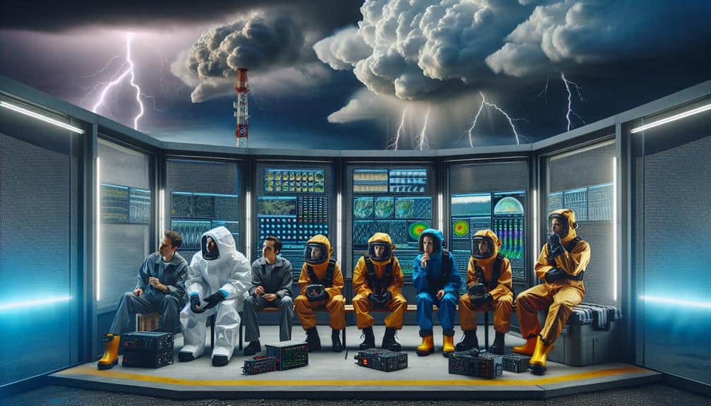
Ensuring the safety of our team during severe weather research demands a detailed set of protocols and careful planning. We start with a thorough risk assessment, evaluating potential hazards including lightning, hail, and tornadoes. This assessment allows us to identify safe zones and escape routes in advance.
Each team member receives extensive training on emergency response procedures, making sure that everyone knows how to react swiftly if conditions deteriorate. Our vehicles are equipped with advanced weather monitoring instruments and communication systems, enabling real-time updates. We maintain constant communication with local weather offices, leveraging their insights to refine our strategies.
Team members are assigned specific roles to streamline operations; one focuses on navigational data, another on weather radar interpretation, and another on relaying information. In the event of an emergency, we've predefined protocols. Each vehicle carries first aid kits, fire extinguishers, and emergency blankets.
We also conduct regular drills to make certain everyone is proficient in executing these procedures under pressure.
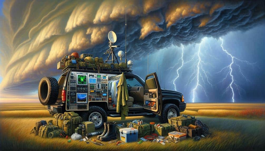
Data Collection Methods
To optimize our research on severe thunderstorms, we employ a combination of mobile radar deployment, aerial drone surveillance, and ground sensor networks.
These methods enable us to collect high-resolution data on storm dynamics and behavior.
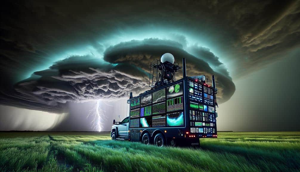
Mobile Radar Deployment
Mobile radar units enable us to collect high-resolution data on storm structures and dynamics directly from the field. By deploying these units, we leverage advanced radar technology to achieve precise storm tracking. This capability is vital for storm interception, allowing us to position ourselves in ideal locations for data collection. The research benefits of using mobile radar include improved understanding of severe weather phenomena and enhanced predictive models.
Our mobile radar deployment strategy involves several key steps:
- Pre-deployment Planning: We analyze weather forecasts to identify potential storm development zones. This allows us to strategically position our mobile radar units for maximum data capture.
- Real-time Tracking: During storm events, our mobile radar systems continuously monitor storm evolution. The high-resolution data collected helps in mapping storm structures, including the identification of mesocyclones and other significant features.
- Post-storm Analysis: Once the storm has passed, we compile and analyze the collected data. This phase is essential for understanding the dynamics observed and for refining our predictive models.
Aerial Drone Surveillance
In our quest to enhance storm data collection, we utilize aerial drones equipped with advanced sensors to capture real-time atmospheric measurements and high-resolution imagery. These drones offer unparalleled drone capabilities, allowing us to monitor and analyze storm behavior with a level of detail previously unattainable.
By deploying multiple drones, we can track storms dynamically, adjusting their flight paths to gather critical data from various altitudes and positions.
Our aerial drones are outfitted with state-of-the-art instruments, including LIDAR systems, anemometers, and high-definition cameras. These tools provide extensive aerial footage that captures the intricate dynamics of severe thunderstorms. The ability to hover and move swiftly within the storm's vicinity offers a unique perspective on storm tracking, revealing patterns and anomalies invisible to ground-based systems.
We prioritize precision and flexibility in our data collection methods, ensuring that the collected information is accurate and actionable. The drones' real-time data transmission capabilities allow us to make immediate adjustments to our research strategy, optimizing data capture.
Ground Sensor Networks
Ground sensor networks form an essential component of our data collection strategy, providing continuous and detailed measurements of atmospheric conditions at the surface level. These networks allow us to capture real-time data that enhances our understanding of severe thunderstorms.
To maximize the effectiveness of ground sensor networks, we focus on three key elements:
- Sensor Distribution: We strategically place sensors in dense patterns across regions prone to severe weather. This ensures extensive coverage and precise data capture, allowing us to create detailed models of atmospheric conditions.
- Data Integration: By combining ground-based observations with remote sensing data from satellites and aerial drones, we achieve a multi-faceted view of storm dynamics. This fusion of data sources contributes to more precise predictions and effective storm interception strategies.
- Data Visualization: We employ advanced data visualization techniques to interpret the vast amounts of information collected. These visual tools help us identify patterns and anomalies, enhancing our ability to make informed decisions quickly and effectively.
Post-Intercept Analysis

After collecting data from the intercepted thunderstorms, we rigorously analyze the measurements to understand the storm dynamics and improve predictive models. By focusing on storm behavior, our data analysis involves examining parameters like wind speed, temperature gradients, and humidity levels. These variables help us identify patterns and anomalies in storm formation and progression. High-resolution temporal data allows us to pinpoint critical moments of intensification, thereby refining our theoretical frameworks.
Our next step involves an impact assessment, where we evaluate the broader implications of our findings. This includes determining how accurately our models can predict severe weather events and their potential to mitigate damage. By cross-referencing our data with historical records and real-time observations, we can validate our models' reliability.
The ultimate goal of our research applications is to enhance public safety and optimize resource allocation during severe weather events. By disseminating our findings through scientific publications and collaborating with meteorological agencies, we aim to translate our insights into actionable strategies. Our rigorous post-intercept analysis serves as a foundation for advancing our understanding of thunderstorms, ultimately contributing to more effective early warning systems and disaster preparedness initiatives.
Frequently Asked Questions
What Qualifications Are Required for Researchers Involved in Storm Interception?
To join our elite team, researchers need an exaggeratedly robust academic background and ridiculous amounts of field experience. We demand unparalleled expertise because freedom in research requires mastering every nuance of both theory and practical application.
How Can Amateur Storm Chasers Contribute to Research Efforts?
Amateur storm chasers, or citizen scientists, can contribute to research by engaging in data collection and storm tracking. By following safety precautions, we can enhance scientific understanding while maintaining our freedom and safety during severe weather events.
What Are the Ethical Considerations in Storm Interception Research?
Sailing through the ethical storm, we must balance data privacy and environmental impact with consent and community engagement. We can't ignore these aspects, ensuring that our research doesn't harm the very communities we seek to protect.
How Is Funding Typically Secured for Severe Thunderstorm Research Projects?
We typically obtain funding through detailed grant applications and by appealing to private donors. Our analytical approach guarantees we clearly outline the research's significance, potential impacts, and innovative methods, thereby attracting support from both public and private sectors.
What Role Do Drones Play in Intercepting and Studying Severe Thunderstorms?
Drones offer unprecedented storm data collection, juxtaposing traditional methods with cutting-edge drone technology. Their capabilities enhance research impact, providing precise measurements and real-time analysis, consequently revolutionizing how we intercept and study severe thunderstorms.