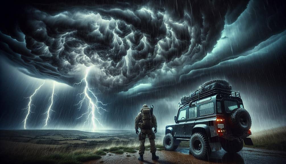
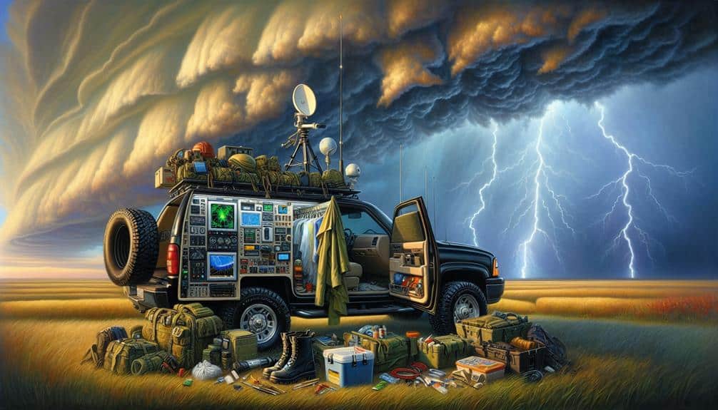
To successfully intercept severe thunderstorms, we equip ourselves with high-resolution radar systems, advanced GPS units, and mobile mesonets for precise data and location tracking. We decode weather patterns using synoptic and mesoscale analysis, supported by numerical weather prediction models. By monitoring data vigilantly through dual-polarization radar and satellite imagery, we gain important insights on storm evolution. Strategically planned routes, avoiding highways and identifying shelter locations, ensure our mobility and safety. Prioritizing safety measures like clear communication strategies and multiple evacuation routes is crucial. To dive deeper into our methods and maximize our efficiency, there's more to uncover.
Key Points
- Utilize high-resolution radar systems to track real-time storm data and anticipate movement.
- Analyze synoptic and mesoscale meteorology to accurately pinpoint areas of severe weather development.
- Plan routes using radar imagery and storm velocity, ensuring multiple egress options for safety.
- Equip with advanced GPS units and mobile mesonets for precise location tracking and weather parameter measurement.
Choose the Right Equipment
Selecting the appropriate equipment is crucial for accurately tracking and intercepting severe thunderstorms. In our quest for freedom and accuracy, we need to prioritize equipment selection to make sure we're properly prepared. High-resolution radar systems are vital; they provide real-time data on storm structure and velocity. Advanced GPS units are also essential, offering precise location tracking even in the most remote areas.
To maximize our effectiveness, we should utilize mobile mesonets. These vehicle-mounted weather stations measure temperature, humidity, wind speed, and pressure, delivering important information directly from the storm's path. Moreover, dash-mounted cameras provide visual confirmation and documentation, an important component for post-storm analysis.
Equipping ourselves with reliable communication tools, like satellite phones and two-way radios, guarantees that we remain connected with our team, regardless of cellular network availability. Don't forget portable power sources; they're necessary for maintaining operational continuity.
Proper preparation extends beyond equipment selection. We must routinely calibrate and test our gear to ensure peak performance. Running simulations can also help us become familiar with our equipment's capabilities and limitations. By meticulously preparing and choosing the right gear, we enhance our ability to safely and effectively intercept severe thunderstorms.
Understand Weather Patterns
Understanding weather patterns is essential to accurately predicting and intercepting severe thunderstorms. By mastering the intricacies of atmospheric dynamics, we can improve our storm prediction capabilities and optimize our weather tracking efforts.
Let's immerse ourselves in the key elements that empower us to analyze and comprehend these patterns effectively.
- Synoptic Scale Analysis: This involves examining large-scale weather systems like high and low-pressure areas, cold and warm fronts. By understanding these systems, we can predict where severe thunderstorms are likely to develop.
- Mesoscale Meteorology: This focuses on smaller-scale weather phenomena such as thunderstorms and tornadoes. By studying mesoscale patterns, we can pinpoint areas of potential severe weather with higher accuracy.
- Numerical Weather Prediction Models: Utilizing advanced computer models allows us to simulate and forecast weather conditions. These models integrate vast amounts of data to provide detailed storm predictions, helping us anticipate severe weather events with precision.
Weather tracking becomes more efficient when we combine these analytical strategies. By understanding the complex interactions within the atmosphere, we can make informed decisions that maximize our ability to safely intercept severe thunderstorms.
Mastering these techniques is essential for anyone serious about storm chasing and severe weather analysis.
Monitor Real-Time Data
Monitoring real-time data is crucial for effectively tracking and intercepting severe thunderstorms. As storm chasers, our ability to respond quickly hinges on the accuracy and timeliness of the information we receive. Utilizing weather radar is indispensable; it provides us with critical insights such as storm intensity, movement, and potential development of tornadoes. Leveraging dual-polarization radar technology, we can differentiate between precipitation types and better assess the severity of the storm.
Accessing data from the National Weather Service and other meteorological institutions in real-time enhances our situational awareness. These sources offer live updates on weather conditions, including wind speed, humidity, and atmospheric pressure, which are essential for making informed decisions. Mobile applications and specialized software enable us to visualize this data on the go, ensuring we stay one step ahead of the storm.
We must also incorporate satellite imagery and lightning detection networks to track the storm's evolution. These tools allow us to monitor the storm's lifecycle, identify potential hazards, and adjust our strategies accordingly.
Plan Your Route Strategically
Strategically planning our route involves analyzing weather models and real-time data to optimize our positioning relative to the storm's path. This requires a detailed examination of radar imagery, storm velocity, and atmospheric conditions to predict the storm's trajectory accurately. By doing so, we can make informed decisions that increase our chances of successfully intercepting severe thunderstorms while minimizing risks.
To maximize our strategic planning, we should:
- Avoid highways: Highways can become congested quickly during severe weather events, limiting maneuverability and increasing the risk of accidents. Instead, we should use secondary roads that offer more flexibility and escape options.
- Identify multiple egress routes: Having several exit strategies is essential. We need to map out alternative routes in advance to make sure we can quickly adapt to sudden changes in the storm's behavior or path.
- Seek shelter locations: Knowing where to find sturdy buildings or designated storm shelters along our route is important. This guarantees we've a safe haven to retreat to if the storm intensifies unexpectedly.
Prioritize Safety Measures

Equipping ourselves with these tools is essential to mitigate the inherent risks of storm chasing. Equipping ourselves with these tools ensures we can receive up-to-date storm data, treat injuries promptly, and navigate effectively.
The first step in our safety strategy involves establishing robust emergency protocols. We need to chart out clear communication strategies to stay in constant contact with our team. This guarantees we can quickly relay information about storm movements and any immediate dangers.
Analyzing shelter options and evacuation routes before we head out is critical. Identifying sturdy structures like storm shelters or reinforced buildings along our route provides us with immediate refuge if conditions deteriorate rapidly. Additionally, mapping multiple evacuation routes allows us to escape the storm's path efficiently.
We should also regularly monitor meteorological data, leveraging tools such as radar and satellite imagery to make informed decisions. This data-driven approach helps us stay ahead of the storm, reducing the risk of being caught off-guard.
Frequently Asked Questions
What Clothing Should You Wear When Chasing Severe Thunderstorms?
When chasing storms, our rain gear symbolizes our shield against nature's fury. We need waterproof footwear, strategic layering for thermal protection, and rugged outerwear to guarantee mobility and safety. Every piece we wear grants us freedom to explore.
How Do You Manage Vehicle Maintenance During Storm Chasing?
We prioritize storm readiness and vehicle safety by conducting pre-chase inspections, ensuring tire integrity, and maintaining fluid levels. Our data-driven approach minimizes breakdown risks, maximizing our freedom to navigate severe weather effectively and safely.
What Are the Best Apps for Storm Tracking on Mobile Devices?
We rely on Storm Radar and Weather Underground for accurate storm tracking. These apps provide real-time lightning alerts and tornado warnings, ensuring our safety. Their detailed data and user-friendly interface give us the freedom to navigate storms confidently.
How Can You Communicate Effectively With Other Storm Chasers?
Imagine our communications network as a well-tuned orchestra. We coordinate using radios and GPS to guarantee we follow safety protocols. Tracking technology lets us share real-time data, enhancing our collective situational awareness and decision-making.
What Should You Pack in Your Emergency Kit for Storm Chasing?
For the current question, we should pack emergency supplies like first aid kits, flashlights, and water. Adhering to safety precautions, we must include weather radios, GPS devices, and extra batteries to guarantee we stay informed and safe.


