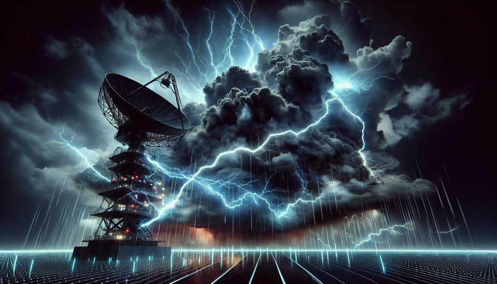
We're utilizing radar technology to intercept severe thunderstorms with remarkable precision. Doppler radar measures precipitation particle velocity, aiding us in identifying storm rotation and wind dynamics. Dual-polarization radar distinguishes types of precipitation, improving our understanding of storm severity. Phased-array radar offers quick scanning and real-time updates, enhancing our situational awareness. These systems allow us to interpret meteorological patterns accurately, evaluate key indicators like reflectivity and velocity, and forecast thunderstorm behavior. By combining these technologies, we ensure timely alerts and community protection. For a detailed exploration of our methods and technologies, stay tuned.
Key Points
- Doppler radar measures wind speed and direction, identifying storm rotation and potential tornadoes.
- Dual-polarization radar differentiates precipitation types, enhancing storm severity assessment.
- Phased-array radar provides rapid scanning and real-time updates for timely severe weather alerts.
- Advanced radar data interpretation improves prediction accuracy for storm behavior and potential impacts.
Evolution of Radar Technology
Tracing the development of radar technology, we see how incremental innovations have greatly enhanced our ability to detect and analyze severe thunderstorms. Early radar systems, originating during World War II, were rudimentary and primarily designed for military applications. As we progressed, radar technology advancements shifted focus, enhancing weather forecasting capabilities.
By the 1950s, meteorologists began utilizing radar to observe precipitation, which led to the identification of storm structures. Fast-forward to the 1970s, the introduction of Doppler radar marked a pivotal moment. This advancement allowed us to measure the velocity of moving precipitation particles, providing critical data on storm dynamics and rotation, which are key indicators of severe weather phenomena such as tornadoes.
In recent decades, the integration of dual-polarization radar has further revolutionized weather forecasting improvements. This technology enables us to differentiate between types of precipitation, such as rain, hail, and snow, by transmitting and receiving both horizontally and vertically polarized waves. Consequently, our ability to assess storm severity and potential impacts has grown significantly.
These radar technology advancements haven't only refined our predictive models but also bolstered public safety by giving communities more accurate and timely warnings about approaching severe thunderstorms.
Types of Radar Systems
To fully grasp how we utilize radar technology for severe thunderstorm detection, we must explore the various types of radar systems currently in use. Primarily, we rely on Doppler radar capabilities, which are essential for measuring the velocity of precipitation particles. This technology enables us to detect rotational patterns within thunderstorms, a key indicator of potential tornado formation.
Weather radar applications extend beyond just Doppler radar. Dual-polarization radar is another critical system, transmitting both horizontal and vertical pulses. This allows us to differentiate between types of precipitation—rain, hail, snow—which greatly enhances our predictive accuracy. By providing detailed insights into precipitation size and shape, dual-polarization radar helps us forecast storm severity and potential impacts more precisely.
Phased-array radar systems, initially developed for military use, have also found significant application in weather monitoring. These systems offer rapid scanning capabilities, granting us near-real-time updates on storm development and movement. This agility is particularly valuable in tracking fast-evolving severe weather conditions.
Each of these radar systems plays a distinct role in our thorough approach to severe thunderstorm interception. By leveraging their combined strengths, we improve our ability to protect communities and enhance our understanding of these formidable natural phenomena.
Radar Data Interpretation
Interpreting radar data requires a nuanced understanding of meteorological signatures and patterns to effectively predict severe thunderstorm behavior. We need to explore data analysis with precision, identifying key indicators such as reflectivity, velocity, and dual-polarization measurements. Reflectivity helps us gauge precipitation intensity by measuring the return signal strength from raindrops, hail, or snow.
Velocity data enables us to assess wind direction and speed within the storm, revealing potential rotation that could lead to tornado formation. Dual-polarization technology provides even more granular insights, differentiating between types of precipitation and detecting non-meteorological objects.
Reflectivity: Measures return signal strength to determine precipitation intensity.
Velocity: Assesses wind direction and speed, indicating potential rotation.
Dual-Polarization: Differentiates between precipitation types and non-meteorological objects.
Our data-driven approach to radar data interpretation allows us to refine our weather forecasting models. By continuously analyzing these specific measurements, we can predict the likelihood of severe weather events with greater accuracy. This empowers us to offer timely warnings, helping communities prepare and respond effectively.
Ultimately, mastering radar data interpretation not only advances meteorology but also enhances our collective freedom to navigate and thrive amidst unpredictable weather conditions.
Real-Time Storm Tracking
In real-time storm tracking, we harness advanced data collection methods, leveraging Doppler radar and satellite imagery to monitor storm development.
By integrating predictive algorithms, we enhance our ability to forecast storm trajectories and intensities with greater accuracy.
Our alert systems' efficiency is vital for timely warnings, reducing the potential for property damage and loss of life.
Data Collection Methods
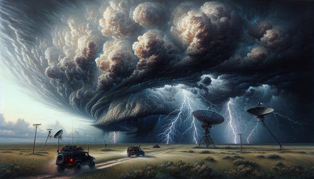
Utilizing advanced radar technology, we can collect high-resolution data in real-time to track severe thunderstorms with unparalleled accuracy. This data collection is essential for effective radar data analysis and storm prediction, allowing us to stay ahead of potentially disastrous weather events. By monitoring the atmosphere with precision, we can provide timely warnings and strategies for storm interception.
Real-time storm tracking through radar involves several sophisticated methods:
- Doppler Radar: Measures the velocity and direction of storm movements, enabling precise weather monitoring.
- Dual-Polarization Radar: Enhances our ability to detect different types of precipitation, improving storm prediction and readiness.
These technologies work in unison to give us a thorough understanding of thunderstorm behavior. With radar data analysis, we can decode the intricate patterns within storm systems, providing actionable insights for emergency services and the general public.
Our ability to intercept and respond to severe thunderstorms hinges on these advanced data collection methods. By leveraging cutting-edge radar systems, we empower communities with the information they need to protect lives and property, ensuring that freedom and safety coexist even amidst the fury of nature.
Predictive Algorithms' Role
Predictive algorithms, powered by machine learning and artificial intelligence, greatly enhance our ability to forecast the path and intensity of severe thunderstorms in real-time. By integrating vast datasets from radar systems, satellites, and ground sensors, these algorithms can analyze weather patterns with unprecedented accuracy. The machine learning models continuously improve as they process more data, enabling us to make highly precise forecasts.
In real-time storm tracking, these predictive algorithms assess variables like wind speed, humidity, and temperature gradients. They identify patterns and anomalies that might indicate severe weather, which traditional methods might overlook. Machine learning facilitates adaptive learning, allowing the system to refine its predictions based on new data inputs. This dynamic approach surpasses static weather forecasting models, offering a level of flexibility and accuracy that greatly benefits storm interception efforts.
Moreover, the speed at which these algorithms operate means we can provide timely updates, essential for minimizing risks and maximizing safety. Our ability to predict storm paths and intensities days in advance empowers communities to prepare adequately.
As we continue to leverage the power of machine learning, our weather forecasting capabilities will only become more reliable, giving us the freedom to make informed decisions and stay ahead of severe weather threats.
Alert Systems Efficiency
While predictive algorithms enhance our forecast capabilities, the efficiency of alert systems in real-time storm tracking relies on their ability to rapidly disseminate accurate information to at-risk populations. We must make certain that these systems are both robust and swift to maximize their effectiveness in emergency response and public awareness.
Radar technology is pivotal in providing the data necessary for these alert systems to function at their best. By leveraging Doppler radar, we can detect minute changes in storm velocity and structure, enabling real-time updates. These updates are critical for local authorities to issue timely warnings and for individuals to take protective actions.
Immediate Data Processing:
High-speed computational power processes radar data in seconds, guaranteeing minimal delay in information dissemination.
Multi-Channel Communication:
Alerts are broadcast via multiple platforms such as mobile apps, social media, and traditional media to reach a broader audience.
Geofencing Capabilities:
Targeted alerts based on geographic location make sure that only those in the storm's path receive immediate warnings.
Enhancing Prediction Accuracy
Advancements in radar technology have greatly enhanced our ability to predict the intensity and trajectory of severe thunderstorms. Through forecasting improvements, we've considerably bolstered our storm interception capabilities.
Modern Doppler radar systems provide high-resolution data, allowing us to discern minute details in storm structures. By analyzing reflectivity patterns and velocity data, we can pinpoint areas of potential rotation and predict storm paths with remarkable precision.
Accuracy enhancement in radar systems directly contributes to more reliable early warning mechanisms. Dual-polarization radar, for instance, distinguishes between rain, hail, and other precipitation types, improving our understanding of storm severity. This technology allows us to issue timely and specific alerts, reducing false alarms and ensuring that communities can take appropriate action.
Data assimilation techniques, such as incorporating radar data into numerical weather models, further refine our predictions. These models simulate the atmosphere's behavior, providing us with detailed forecasts that account for a myriad of variables.
As a result, our ability to anticipate and intercept severe thunderstorms has never been more advanced.
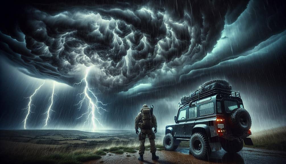
Safety Measures for Storm Chasers
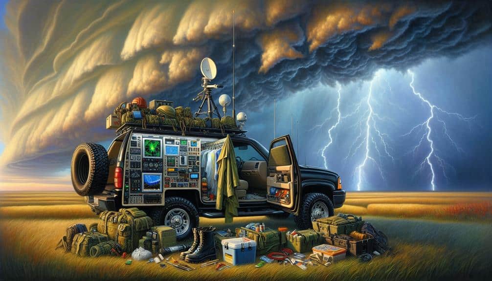
Storm chasers must adhere to rigorous safety protocols to mitigate risks associated with tracking severe thunderstorms. Our commitment to safety begins with meticulous equipment preparation, ensuring all radar and meteorological tools are fully operational. We also stock emergency supplies such as first-aid kits, water, and non-perishable food. These preparations are essential to handle any unpredictable situations that thunderstorms might present.
Effective communication protocols are another cornerstone of our safety measures. We use multiple channels, including radios and satellite phones, to maintain constant contact with each other. Clear, concise communication helps us share real-time data and updates, enhancing our situational awareness and decision-making capabilities.
Team coordination is paramount when chasing storms. Each member has a designated role, from monitoring radar data to driving and navigation. This structured approach minimizes confusion and maximizes efficiency, allowing us to adapt swiftly to changing weather conditions.
- Equipment preparation: Verify radar and meteorological tools.
Effective communication protocols are another cornerstone of our safety measures. We use multiple channels, including radios and satellite phones, to maintain constant contact with each other. Clear, concise communication helps us share real-time data and updates, enhancing our situational awareness and decision-making capabilities.
Frequently Asked Questions
How Does Radar Technology Differentiate Between Rain, Snow, and Hail?
Isn't it fascinating how radar technology classifies precipitation types? We use dual-polarization radar to differentiate between rain, snow, and hail. This enhances severe weather detection by analyzing shape, size, and motion of hydrometeors with precision.
What Are the Limitations of Radar Technology in Severe Weather Conditions?
We recognize radar accuracy limitations in severe weather conditions. Weather prediction faces challenges due to signal attenuation, ground clutter, and range resolution issues. These factors impact our ability to provide precise and timely forecasts, limiting our situational awareness.
How Has Mobile Radar Technology Improved Storm Interception?
Mobile radar technology's enhanced storm interception by improving data accuracy and storm prediction. We now achieve mobile deployment and real-time monitoring, allowing us to adapt quickly and gather precise data, greatly boosting our forecasting capabilities.
How Do Radar Systems Communicate With Other Weather Monitoring Tools?
Imagine the power of real-time weather prediction! Our radar systems use advanced communication protocols to integrate data from sensor networks seamlessly. This data integration enhances our predictive capabilities, offering us unprecedented freedom from unpredictable weather.
What Training Is Required to Operate Advanced Radar Systems?
We need rigorous training to master advanced radar operation. This includes coursework on system components, signal processing, and real-time data analysis. Hands-on experience and certification are essential to guarantee we operate these complex systems effectively and safely.