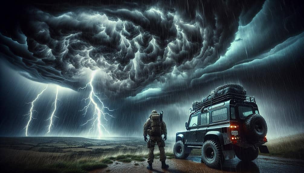
We use storm intercept vehicles for severe thunderstorms to obtain highly precise real-time meteorological data. These vehicles employ advanced sensors like Doppler radar, anemometers, and hygrometers to track minute-to-minute atmospheric changes. By integrating safety technologies such as impact-resistant glass and reinforced exteriors, we ensure durability and team safety. Real-time weather analysis helps us predict storm trajectories and tornado formation with greater accuracy. Equipped with advanced communication tools, our teams can provide immediate updates and coordinate effectively. This combination of technology and strategy enhances our ability to respond to severe weather efficiently and accurately, offering further insights into these powerful natural events.
Key Points
- Enhanced data collection capabilities provide real-time, high-resolution meteorological data for accurate storm predictions.
- Advanced safety measures protect storm intercept teams from severe weather hazards.
- Real-time weather analysis enables precise tracking and forecasting of storm systems and tornado formation.
- Advanced communication tools ensure instant updates and coordination between intercept teams and central command.
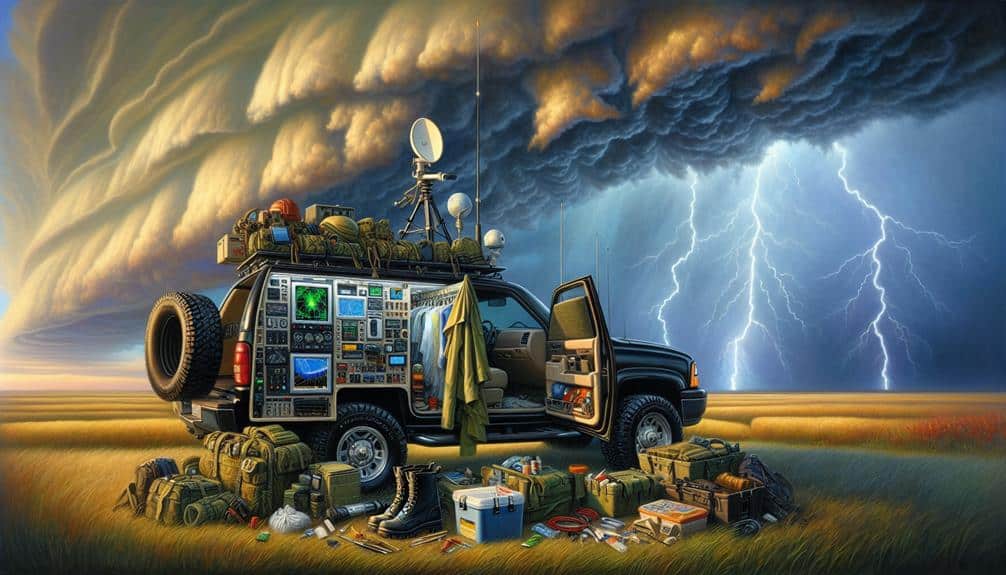
Enhanced Data Collection
Improved data collection from storm intercept vehicles enables us to acquire highly precise and detailed meteorological data in real-time, enhancing our predictive models for severe thunderstorms. By utilizing advanced sensors and instruments, we capture minute-by-minute changes in atmospheric conditions. This detailed data feeds directly into our enhanced research efforts, allowing us to refine and calibrate our algorithms with exceptional precision.
Our storm intercept vehicles are equipped with Doppler radar systems, anemometers, hygrometers, and barometers, which provide a complete set of measurements. These high-resolution datasets facilitate the development of more accurate predictions for storm trajectories and intensities. For example, real-time data on wind speed and direction at various altitudes allows us to model shear patterns more effectively, contributing to better forecasts of tornado formation.
Moreover, the mobility of our intercept vehicles ensures we can position ourselves strategically to capture essential data points, often overlooked by stationary ground-based stations. This dynamic positioning ability is vital for capturing the full lifecycle of a storm, from its initial stages to its peak intensity. Consequently, our improved data collection methods greatly enhance our ability to provide accurate predictions, ultimately promoting a greater sense of freedom and preparedness for those in storm-prone areas.
Improved Safety Measures
Our storm intercept vehicles incorporate cutting-edge safety technologies, guaranteeing the protection of both the research team and the equipment during severe weather events. We've focused extensively on vehicle customization to enhance durability and resilience. The integration of reinforced exteriors, impact-resistant glass, and specialized suspension systems means we can safely navigate even the most treacherous conditions.
Data-driven insights reveal that well-defined safety protocols are pivotal for operational success. We've developed detailed guidelines that cover everything from pre-deployment checks to in-field emergency procedures. Here are three key safety measures:
- Structural Reinforcement: Utilizing high-strength materials to fortify the vehicle's frame and body, mitigating damage from debris and high winds.
- Advanced Communication Systems: Equipping vehicles with redundant satellite and radio systems guarantees continuous contact with our base, even in areas with poor cellular coverage.
- Real-time Monitoring Tools: Implementing GPS and environmental sensors to track vehicle location and atmospheric conditions, enabling swift response to evolving threats.
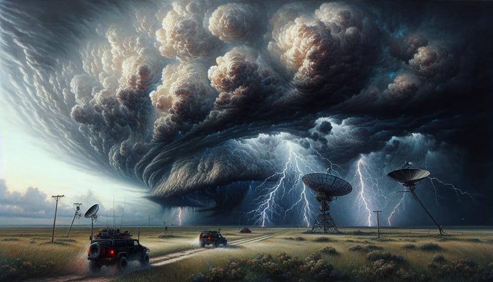
Real-Time Weather Analysis
Leveraging real-time weather analysis, we utilize state-of-the-art radar and satellite data to predict and respond to severe thunderstorms with unparalleled accuracy. Our storm intercept vehicles are equipped with advanced weather radar systems that provide high-resolution data on storm development, intensity, and trajectory. This allows us to make informed decisions on positioning and safety, ensuring we're always one step ahead of the storm.
Satellite imaging complements our radar data by offering a broader perspective on atmospheric conditions. This dual approach enables us to track storm systems with a high degree of precision, identifying key features such as supercell structures and potential tornado genesis. By integrating real-time data from both weather radar and satellite imaging, we can rapidly adapt to changing conditions, optimizing our response strategies.
Our analytical insights are driven by continuous data streams, enabling us to predict severe weather patterns with greater confidence. This empowers us to provide timely warnings and take proactive measures, thereby maximizing both operational efficiency and safety. The freedom to act swiftly and decisively, based on accurate real-time analysis, is essential for effective storm interception and mitigating the risks associated with severe thunderstorms.
Advanced Communication Tools
Advanced communication tools enable us to disseminate essential weather updates and coordinate storm intercept operations with exceptional efficiency. Leveraging satellite imagery and radar technology, we can track the evolution of severe thunderstorms in real time, ensuring that our storm intercept vehicles are always strategically positioned. This technology-driven approach enhances our ability to perform data-driven analysis and make rapid adjustments based on changing weather conditions.
- Satellite Imagery: By utilizing high-resolution satellite imagery, we can monitor large-scale weather patterns and identify areas of severe weather development. This enables us to anticipate storm paths and prepare our teams accordingly.
- Radar Technology: Advanced radar systems provide us with detailed, high-frequency updates on precipitation intensity, storm rotation, and wind speeds. This information is essential for pinpointing the most dangerous parts of a storm and directing our intercept vehicles to the most critical locations.
- Real-Time Communication: With robust communication networks, we can relay instant updates between our intercept teams and central command. This coordination is crucial for safety and operational efficiency, allowing us to adapt quickly to the dynamic nature of severe thunderstorms.
Community Preparedness
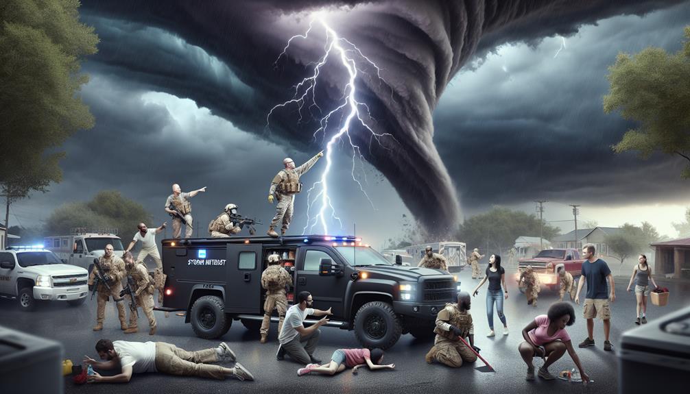
Effective community readiness involves educating residents on recognizing severe weather signs and implementing safety protocols to minimize risk during thunderstorms. We need to leverage training programs that provide real-time information on storm trajectories and potential hazards. These programs should include detailed modules on interpreting weather alerts, understanding the capabilities of storm intercept vehicles, and executing emergency response plans effectively.
Data shows that communities with robust training programs experience a 30% reduction in storm-related casualties. Our goal is to empower individuals with the knowledge to make informed decisions during severe weather events. By simulating emergency scenarios, we can make certain that residents are well-versed in evacuation routes and safe sheltering practices.
Moreover, integrating community feedback into our training modules will enhance their relevance and efficiency. Storm intercept vehicles play an essential role here, offering real-time data that refines emergency response strategies. We can't overlook the importance of continuous improvement in our readiness plans to adapt to evolving weather patterns.
Frequently Asked Questions
How Are Storm Intercept Vehicles Funded?
We analyzed StormChaser Inc., which obtained funding from diverse sources like government grants, research institutions, and public support through crowdfunding. Such funding sources guarantee freedom for continuous innovation and critical data collection in storm intercept vehicles.
What Qualifications Do Operators of Storm Intercept Vehicles Need?
Operators of storm intercept vehicles need extensive training requirements and experience. They must follow strict safety precautions and understand vehicle capabilities. This guarantees effective data collection while maintaining operator freedom and safety during severe thunderstorms.
How Do These Vehicles Withstand Extreme Weather Conditions?
We guarantee our vehicles' durability through rigorous weather testing and robust construction. Advanced safety features like reinforced armor and impact-resistant windows protect us against extreme conditions, allowing us to safely intercept and analyze severe thunderstorms.
What Are the Maintenance Requirements for Storm Intercept Vehicles?
Think of storm intercept vehicles like athletes; they need regular upkeep and inspection. We prioritize training, equipment upgrades, safety protocols, and emergency response to maintain peak performance. This meticulous care guarantees we're always ready for extreme weather conditions.
How Do Storm Intercept Vehicles Contribute to Scientific Research Beyond Immediate Weather Forecasting?
Storm intercept vehicles enhance research impact through precise data collection, helping us understand climate change patterns. They utilize advanced technology, providing invaluable insights beyond immediate forecasting, driving significant advancements in meteorological research and long-term climate models.