Interpreting meteorological data is vital for us storm chasers because it enables accurate prediction of storm paths, essential for strategic positioning and safety. By analyzing atmospheric pressure, temperature, and moisture levels, we can forecast storm movement and intensity with precision. This data helps us assess potential hazards, deploy safely, and capture critical information. Real-time updates from radar, satellite, and ground observations refine our strategies, enhancing our ability to respond effectively. Advanced technology and accurate weather models support well-informed decisions, ensuring we maximize safety while pursuing severe weather phenomena. There's much more to uncover about our methods and the technology we use.
Key Points
- Accurate data interpretation enables storm chasers to predict storm paths and avoid hazardous areas.
- Understanding meteorological data helps assess storm intensity and potential impacts like high winds and flooding.
- Real-time data interpretation ensures timely and informed decisions for safe storm deployment and tracking.
- Interpreting weather patterns and historical data improves forecasting models and enhances prediction accuracy.
Understanding Weather Patterns
To effectively predict and track storms, we must first grasp the fundamental dynamics and interactions of weather patterns. By understanding these complexities, we enhance our ability to engage in accurate weather forecasting. Weather patterns are influenced by a myriad of factors, including atmospheric pressure, temperature gradients, and moisture levels. Each of these elements interacts in intricate ways to produce various weather phenomena. Our ability to decipher these interactions is essential for anticipating storm development and behavior.
Analyzing climate trends is equally important. Long-term patterns provide invaluable context that short-term observations can't offer. For instance, recognizing shifts in climate trends can alert us to emerging patterns that may increase the frequency or intensity of storms. By studying historical data, we can identify anomalies and adjust our forecasting models accordingly.
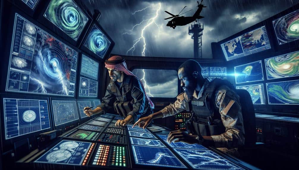
We must also consider the role of technological advancements in weather forecasting. High-resolution satellite imagery, radar systems, and supercomputers allow us to model and simulate weather systems with increasing accuracy. These tools empower us to make more informed decisions during storm chasing expeditions.
Predicting Storm Paths
Accurately predicting storm paths hinges on our ability to analyze real-time meteorological data and interpret it through advanced forecasting models. As storm chasers, we must employ sophisticated storm tracking techniques to determine the likely trajectory of severe weather systems. By integrating data from radar, satellite imagery, and ground-based observations, we can construct a thorough picture of a storm's movement and future path.
We rely on numerical weather prediction models, which use algorithms to simulate atmospheric conditions over time. These models consider various factors such as wind speed, humidity, temperature gradients, and pressure systems. By continuously updating these parameters with fresh data, we enhance the accuracy of our predictions.
In addition to these models, we utilize ensemble forecasting, a method that runs multiple simulations to account for uncertainties in the initial conditions and model physics. This approach helps us assess a range of possible storm paths and identify the most probable scenarios.
By combining these techniques, we can make informed decisions on when and where to deploy, maximizing our safety and effectiveness in the field.
Our commitment to precise storm tracking techniques empowers us to navigate the unpredictable nature of storms while pursuing our passion for meteorology and adventure.
Assessing Storm Intensity
To assess storm intensity, we must analyze wind speed, measure precipitation, and monitor atmospheric pressure.
Accurate wind speed analysis helps us understand the storm's potential impact on structures and landscapes.
Wind Speed Analysis
Wind speed serves as a critical metric for storm chasers when determining the intensity and potential impact of a storm system. By performing detailed velocity analysis, we can effectively track the storm's progression and predict its path.
Accurate storm tracking hinges on understanding the wind patterns and their fluctuations. When we observe wind direction, we gain insights into the storm's behavior, which helps us forecast its future movements with greater precision.
Wind speed data allows us to assess whether a storm is intensifying or losing strength. High wind speeds often indicate a more severe storm, warranting immediate attention and potentially altering our course of action. By continuously monitoring these speeds, we can make real-time decisions that maximize our safety and data collection efficiency.
Furthermore, analyzing wind patterns provides clues about the storm's structure. Rotational wind patterns, for instance, could signify the development of a tornado, prompting us to take necessary precautions. Meanwhile, the direction observation helps us understand the storm's trajectory, enabling us to position ourselves advantageously.
Precipitation Measurement Techniques
When evaluating storm intensity, we rely on precise precipitation measurement techniques that offer valuable insights into the storm's potential impact. Understanding the quantity and distribution of precipitation is essential for us storm chasers to predict flooding, hail formation, and overall storm severity.
We employ several advanced methods to measure and analyze precipitation:
- Radar Technology: Using Doppler radar, we can detect precipitation rates and patterns in real-time. This helps us track the movement and strength of storm cells with high accuracy.
- Satellite Imagery: Satellites provide a wide view of precipitation over large areas. By analyzing these images, we can observe storm development and predict the areas most likely to be affected.
- Rain Gauges: While traditional, rain gauges offer ground truth data that complements radar and satellite observations. They measure the actual amount of rainfall in specific locations.
- Weather Stations: These stations collect detailed data on precipitation along with other crucial meteorological variables. The integration of this information gives us a more thorough picture of storm dynamics.
Atmospheric Pressure Indicators
In addition to precipitation measurements, analyzing atmospheric pressure indicators provides us with vital data on storm intensity and potential development. By closely monitoring pressure variations, we can identify regions where storm formation is most likely to occur. These pressure fluctuations often signal the presence of developing storm systems that may not yet be visible on radar.
Pressure variations serve as precursors of atmospheric instability. When we detect a rapid drop in pressure, it often indicates that warm, moist air is being lifted, creating an environment conducive to severe weather. This lifting mechanism is a pivotal factor in storm formation, as it can lead to the development of thunderstorms, cyclones, and even tornadoes.
Furthermore, pressure readings help us determine the storm's potential path and intensity. A steep pressure gradient can indicate strong winds and turbulent conditions, both essential elements for evaluating the storm's power. By combining pressure data with other meteorological indicators, we gain a thorough understanding of the storm's dynamics.
In essence, accurate interpretation of atmospheric pressure indicators enables us to make informed decisions, enhancing our ability to predict severe weather events. This analytical approach empowers us to chase storms safely and effectively, embracing the freedom to explore nature's most formidable forces.
Ensuring Safety Measures
As storm chasers, we must prioritize safety by carefully analyzing risk factors, planning safe routes, and ensuring emergency response preparedness.
Accurate interpretation of meteorological data allows us to assess potential hazards and adjust our plans accordingly.
Analyzing Risk Factors
To effectively ensure our safety during storm chasing, we must meticulously analyze risk factors using real-time meteorological data. This involves a rigorous process of risk assessment and data interpretation. By doing so, we can make informed decisions and guarantee that our pursuit of freedom doesn't compromise our safety.
First, we need to examine the following essential steps:
- Identify Storm Intensity: Look at data on wind speeds, precipitation rates, and hail size. These elements help us gauge the potential severity of a storm.
- Track Storm Movement: Real-time data allows us to determine the storm's trajectory and speed, helping us anticipate where it will go next.
- Evaluate Environmental Conditions: Assess factors such as humidity, temperature, and atmospheric pressure, which can influence storm development and behavior.
- Analyze Historical Data: Compare current data with historical storm patterns to identify any anomalies or similarities that could suggest increased risk.
Planning Safe Routes
When planning safe routes, we must meticulously combine real-time meteorological data with geographic information to navigate away from high-risk areas. Route optimization hinges on accurate weather tracking, allowing us to predict storm paths and avoid dangerous zones.
By integrating radar data, satellite imagery, and local weather reports, we can chart the safest possible routes while still capturing valuable observations.
Safety precautions are paramount. We need to guarantee our vehicles are equipped with emergency kits, GPS devices, and communication tools. Real-time communication protocols are essential for staying connected with fellow storm chasers and emergency services.
By maintaining constant contact, we can quickly share updates, adjust our routes, and respond to sudden changes in weather conditions.
Effective weather tracking not only helps us avoid hazards but also aids in making quick decisions. We monitor wind speeds, precipitation levels, and storm cell movements to stay ahead of potential threats.
Route optimization is a continuous process, requiring constant data analysis and adjustments.
Emergency Response Preparedness
We must diligently prepare for emergencies by equipping ourselves with essential safety gear and establishing clear protocols. Our safety and freedom to chase storms hinge on detailed planning. Understanding evacuation procedures and identifying shelter locations are essential. We need to know exactly where to go and how to get there under extreme conditions.
To guarantee we're ready, let's break down our emergency response preparedness:
1. Safety Gear:
Always have helmets, first aid kits, and reliable weather-resistant clothing. Without these, we risk serious injury.
2. Evacuation Procedures:
Develop and rehearse clear routes to safe areas. Knowing the terrain and potential obstacles can save vital minutes.
3. Shelter Locations:
Identify multiple shelters in advance. This redundancy ensures we've options if our primary shelter is compromised.
4. Communication Protocols:
Maintain a list of emergency contacts. Use radios and mobile devices to keep in touch with team members and report our status.
Enhancing Data Accuracy
Improving the precision of meteorological instruments and refining data collection methods are essential for storm chasers to make accurate predictions. We rely on advanced technology to enhance our data interpretation capabilities, ensuring that the information we gather is both exhaustive and precise.
Technology advancements, such as Doppler radar and satellite imaging, have revolutionized how we track and analyze storm patterns. These tools provide real-time data, allowing us to assess weather conditions with unparalleled accuracy.
Furthermore, the integration of machine learning algorithms with meteorological data collection has remarkably improved our predictive models. By processing vast amounts of historical and real-time data, these algorithms help us identify patterns and potential storm developments more effectively. This not only enhances our ability to forecast severe weather events but also minimizes the margin of error in our predictions.
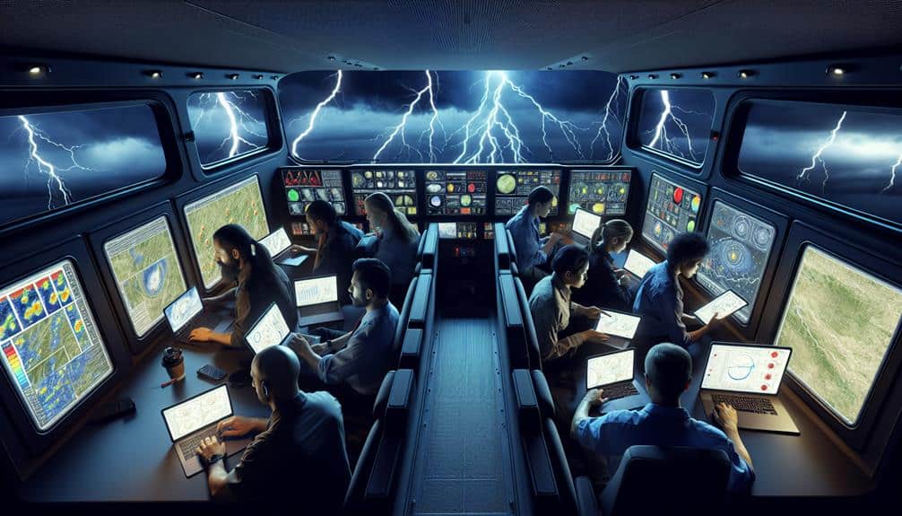
To achieve this level of accuracy, we continually calibrate our instruments and update our data collection methodologies. Portable weather stations, drones equipped with sensors, and mobile radar units allow us to gather localized data from various points, creating a detailed picture of the storm's behavior.
Coordinating With Authorities
Effective storm chasing demands seamless coordination with local authorities to guarantee public safety and optimize data collection efforts. By adhering to predefined communication protocols, operations can avoid disrupting emergency services or endangering civilians.
Here's how this is achieved:
1. Establishing Clear Communication Channels:
We set up direct lines with emergency management agencies to relay our location and movements, ensuring we do not interfere with emergency procedures.
2. Adhering to Emergency Procedures:
Understanding and following specific procedures during severe weather events helps avoid conflicts and contribute to overall safety efforts.
3. Real-Time Data Sharing:
Providing authorities with real-time meteorological data is vital for making informed decisions about evacuations and road closures, enhancing public safety.
4. Regular Coordination Meetings:
Participating in coordination meetings with local authorities before storm season helps align objectives and ensure a mutual understanding of roles and responsibilities.
Improving Chase Strategies
Building on our collaboration with local authorities, refining our pursuit strategies becomes crucial to maximize both safety and data accuracy. Utilizing advanced technology, we can now pinpoint storm development with unparalleled precision.
High-resolution radar systems and satellite imagery enable us to track storm cells in real time, providing crucial data that informs our decisions on the ground. This technology allows us to anticipate changes in storm behavior, adjusting our positions dynamically to stay within ideal observation zones while maintaining safety margins.
Real-time monitoring is the cornerstone of our improved strategies. By integrating data from mobile radar units, GPS systems, and weather stations, we create a detailed situational awareness landscape. This fusion of information helps us predict storm paths, identify potential hazards, and choose the safest, most effective routes.
The ability to access and interpret this data on the go empowers us to make informed decisions quickly, reducing the risk of unexpected encounters with severe weather.
Furthermore, continuous communication with our team and authorities ensures that everyone stays informed and coordinated. This synergy between advanced technology and real-time monitoring not only enhances our data collection but also promotes a safer, more efficient pursuit experience for all involved.
Frequently Asked Questions
How Do Storm Chasers Use Technology to Communicate in Remote Areas?
We use satellite communication and GPS tracking to stay connected in remote areas. These technologies enable us to share real-time updates and precise locations, ensuring our safety and enhancing our efficiency while chasing storms.
What Kind of Training Do Storm Chasers Need?
Why should we prioritize training for storm chasers? We need rigorous education in meteorological knowledge and safety measures. This guarantees we're prepared for unpredictable conditions, minimizing risks while maximizing the freedom to explore extreme weather phenomena responsibly.
Are There Any Legal Restrictions for Storm Chasers?
Yes, there are legal restrictions for storm chasers. We must adhere to traffic laws and respect private property. Safety measures are essential; we can't interfere with emergency operations, ensuring our freedom doesn't compromise others' safety.
How Do Storm Chasers Fund Their Expeditions?
Ye olde funding sources include sponsorships, fundraising events, and selling merchandise. We meticulously plan our expeditions, leveraging these avenues to cover costs. By diversifying income streams, we guarantee financial stability and the freedom to chase storms.
What Role Do Storm Chasers Play in Public Education About Severe Weather?
We enhance public awareness by providing safety education on severe weather. We share risk assessment and preparation techniques through media and community outreach, empowering individuals to make informed decisions and ensuring their freedom to stay safe.