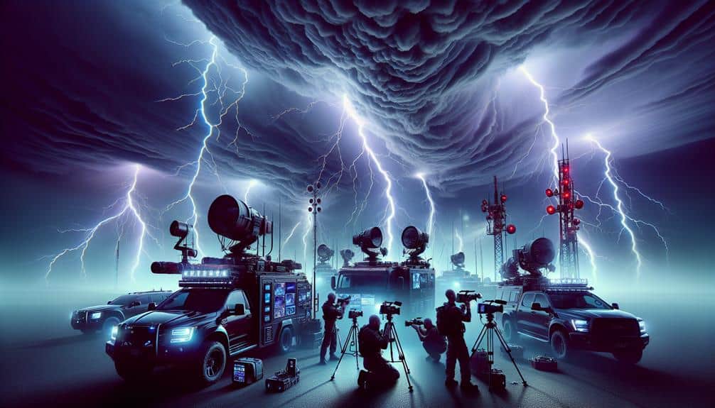
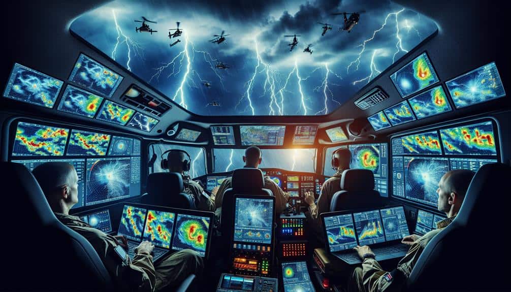
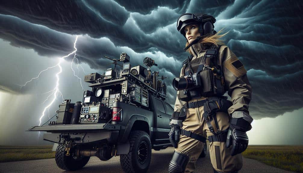
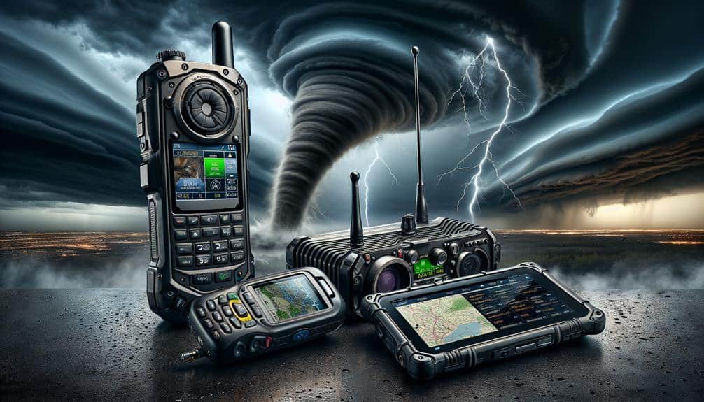
As storm chasers, we depend on a suite of lightning detection tools to stay safe and make informed decisions. Handheld lightning detectors use advanced electromagnetic field sensors for real-time storm tracking, while mobile apps provide precise lightning activity data and radar integration. Professional systems with sensor networks offer high-accuracy monitoring, and weather stations enhance data for predicting strikes. Real-time lightning maps help pinpoint strike locations and track storm trajectories. Safety features, including real-time alerts and geofencing, are essential for risk management. There's more to these tools that can further bolster our storm chasing effectiveness.
Key Points
- Handheld lightning detectors provide portable, real-time storm tracking and situational awareness for quick decision-making.
- Mobile apps offer real-time strike alerts, radar maps, and community data sharing for collective storm tracking.
- Professional detection systems ensure precise, extensive monitoring with advanced sensor networks and machine learning algorithms.
- Weather station integration enhances real-time data accuracy, atmospheric monitoring, and lightning strike prediction.
Handheld Lightning Detectors
Handheld lightning detectors, leveraging advanced electromagnetic field sensors, enable storm chasers to pinpoint lightning activity with remarkable accuracy. By converting electromagnetic pulses from lightning strikes into digital data, these devices provide us with real-time information on storm intensity and proximity. This allows us to take necessary safety precautions while ensuring the reliability of our data collection.
The portable convenience of these detectors can't be overstated. They fit easily into our gear bags and operate on simple battery power, making them ideal for the unpredictable environments we often face. We don't have to worry about lugging around bulky equipment, which means we can stay mobile and responsive to rapidly changing weather conditions.
Accuracy is paramount in our line of work. Handheld detectors are calibrated to detect both cloud-to-ground and intra-cloud lightning, offering a detailed view of storm activity. This dual detection capability enhances our situational awareness, allowing us to make split-second decisions that can be life-saving.
Mobile Apps for Lightning Detection
Let's examine how mobile apps enhance lightning detection through real-time strike alerts, radar map integration, and community data sharing.
These apps provide instant notifications of lightning activity within a specified radius, leveraging geolocation data for precise tracking.
Additionally, radar maps and user-contributed reports offer thorough situational awareness, vital for making informed decisions in the field.
Real-Time Strike Alerts
Mobile apps offering real-time strike alerts provide storm chasers with precise, up-to-the-minute data on lightning activity, necessary for both safety and accurate storm tracking. These apps leverage global lightning networks, delivering information on strike locations, intensity, and frequency. This kind of data is vital for guaranteeing lightning safety during storm chasing expeditions, as it allows us to make quick decisions and avoid hazardous areas.
Real-time alerts also facilitate emergency response planning. When a storm escalates, these alerts enable us to coordinate with local services and prepare for potential hazards. For lightning photography enthusiasts, the precision of these apps is priceless. Capturing the perfect lightning shot requires exact timing and location data, which these tools provide seamlessly.
The integration of customizable alert settings allows us to receive notifications tailored to specific thresholds of lightning activity. This feature is particularly useful for storm chasing, where rapid adjustments and strategic positioning are essential. Additionally, these apps often include historical data and pattern analysis, providing deeper insights into storm behavior.
Radar Map Integration
Integrating radar maps into mobile apps for lightning detection enhances our ability to visualize storm patterns and make informed decisions. By leveraging the precision of radar data, we can track storm cells in real-time, providing an edge in weather tracking and storm monitoring. High-resolution radar imagery overlays lightning detection data, allowing us to pinpoint strike locations within the broader context of storm movement.
Mobile apps equipped with radar map integration offer dynamic, layered information. These layers include precipitation intensity, storm velocity, and lightning strike frequency, enabling a thorough understanding of storm dynamics. For example, the integration of Doppler radar data helps us identify areas of rotation, which can be crucial for predicting tornado formation.
The precision of these apps is further enhanced by color-coded visual indicators, which highlight the severity and proximity of lightning activity. This real-time integration allows us to calculate safe distances and anticipate storm trajectories with greater precision. Additionally, the use of geofencing features ensures that we receive alerts tailored to our specific location, maximizing our situational awareness.
Ultimately, radar map integration in mobile apps empowers us with the freedom to chase storms more safely and effectively, driven by data-rich insights and precise analysis.
Community Data Sharing
Harnessing user-generated data, community data sharing in lightning detection apps enhances our collective storm tracking capabilities by aggregating real-time strike reports and weather observations. By leveraging the power of crowdsourcing, we can obtain highly localized and timely data, which greatly boosts our situational awareness during storm chasing. The accuracy of aggregated data hinges on network reliability, ensuring that information flows seamlessly and is promptly updated.
In these platforms, data privacy remains paramount. Users need to trust that their contributions won't compromise their personal information. Hence, robust encryption methods and anonymization protocols are essential. We must carefully balance the granularity of shared data with the need to protect individual privacy.
Moreover, the interoperability of these apps with other meteorological tools creates a detailed storm-tracking ecosystem. By integrating community-sourced lightning data with radar maps and satellite imagery, we can form a more precise picture of storm dynamics. It's essential that the network reliability of these platforms remains high to avoid data lags, which can be detrimental in fast-evolving weather scenarios.
As a result, community data sharing, when executed with attention to data privacy and network reliability, becomes an indispensable component of our storm chasing toolkit.
Professional Lightning Detection Systems

When we consider professional lightning detection systems, we must evaluate their real-time data accuracy. This often surpasses mobile apps with precision metrics down to milliseconds.
These systems also provide thorough coverage and range, essential for tracking storms over large geographic areas. By leveraging advanced sensor networks, we can achieve all-encompassing monitoring and timely alerts. This is critical for safety and effective storm chasing.
Real-time Data Accuracy
Professional lightning detection systems offer unmatched real-time data accuracy, ensuring storm chasers receive precise and timely information essential for their operations. Leveraging advanced technology, these systems utilize a network of ground-based sensors and satellites to capture the exact location and intensity of lightning strikes. This high-resolution data is then processed and delivered almost instantaneously, allowing us to make informed decisions on the go.
The value of real-time data accuracy can't be emphasized enough. Effective lightning tracking is vital for our safety and success. These systems provide data visualization tools that present information in an easily interpretable format, such as heat maps and strike point overlays. By visualizing this data, we can quickly identify lightning activity patterns and assess potential threats.
Moreover, the precision of these systems minimizes false alarms and enhances the reliability of our operations. With real-time data, we can pinpoint the exact coordinates of lightning strikes, thereby optimizing our chase routes and ensuring minimal risk.
Professional lightning detection systems hence empower us with the freedom to navigate storms with confidence and precision, knowing we've the most accurate and up-to-date information at our fingertips.
Coverage and Range
In addition to real-time data accuracy, the extensive scope and range of professional lightning detection systems guarantee we can track storms over vast geographical areas with unparalleled precision. The detection precision of these systems is vital, ensuring we spot lightning strikes with pinpoint accuracy, even in remote locations. This high level of accuracy is necessary for tracking storms and identifying lightning patterns, which allows us to provide early warnings and detailed analysis.
Our tools employ a network of ground-based sensors and satellite data, achieving a broad warning range that stretches across continents. This wide detection capability means we can monitor lightning activity from thousands of miles away, offering a holistic view of storm development. By leveraging this expansive network, we're not limited by regional restrictions and can follow storm trajectories with a high degree of confidence.
Moreover, the integration of advanced algorithms and machine learning enhances the detection precision and reliability of our data. These systems continuously refine their tracking capabilities, adapting to new lightning patterns and improving our forecasting models. This adaptability is crucial for storm chasers who need the freedom to respond quickly and effectively to evolving weather conditions.
Ultimately, the extensive scope and range empower us to make informed decisions, maximizing both safety and success in our storm-chasing endeavors.
Weather Station Integration
Integrating lightning detection tools into weather stations improves real-time data accuracy and provides storm chasers with crucial, actionable insights. The integration benefits are manifold: it guarantees that we've a thorough understanding of storm dynamics and lightning activity. By embedding these tools directly into our weather stations, we greatly enhance station accuracy, enabling us to predict lightning strikes with enhanced precision.
When we integrate these tools, the sensors can continuously monitor electrical activity in the atmosphere. This data is then processed and relayed to our devices in real-time. Such seamless integration allows us to identify the precise location, intensity, and frequency of lightning strikes, which is invaluable for making instantaneous decisions in the field.
Furthermore, the precision of our weather stations is essential. Enhanced sensor fidelity means we can rely on the data we receive, reducing the chance of false alarms and enhancing the reliability of our forecasts. This level of accuracy supports our pursuit of freedom, giving us the assurance to navigate storm systems effectively and safely.
Integration guarantees that every data point is accurate and actionable, empowering us to chase storms with unmatched insight and preparedness.
Real-Time Lightning Maps

Leveraging the integration of lightning detection tools with weather stations, we can now utilize real-time lightning maps to pinpoint strike locations with unparalleled accuracy. These maps harness data from a network of sensors, processing electromagnetic signals generated by lightning strikes to triangulate their exact positions.
With real-time lightning maps, we can observe lightning strike patterns, offering valuable insights into the behavior and movement of storms.
By continuously updating, these maps provide us with a dynamic visualization of ongoing lightning activity. This allows us to track the progression of a lightning storm with precision, identifying areas of high strike density which often correlate with severe weather conditions.
Advanced algorithms analyze this data, enabling us to predict the storm's trajectory and intensity.
Real-time data is pivotal for lightning storm tracking, offering us the agility to adapt our chase routes and optimize our safety strategies. We can overlay these maps with additional meteorological data layers, such as radar and satellite imagery, to gain a thorough understanding of the storm environment.
Safety Features and Alerts
Safety features and alerts are critical components of lightning detection tools, providing us with timely warnings and actionable data to navigate severe weather conditions effectively. These tools integrate sophisticated algorithms and real-time data to guarantee our safety while chasing storms. By leveraging advanced technology, we can make informed decisions and implement necessary safety precautions.
Effective lightning detection tools offer several key features that enhance our ability to respond promptly to emergencies:
- Real-time Alerts: Instant notifications about nearby lightning strikes, enabling immediate emergency response and situational awareness.
- Geofencing: Customizable geographical boundaries that trigger alerts when lightning activity is detected within specified areas, allowing us to stay within safe zones.
- Strike Probability Analysis: Predictive models that estimate the likelihood of future lightning strikes based on current weather patterns, helping us plan our routes and activities more safely.
These features provide us with the freedom to chase storms while maintaining a high level of safety. By utilizing tools equipped with robust safety features and alerts, we can confidently manage the inherent risks of storm chasing and prioritize our well-being.
Frequently Asked Questions
How Do I Choose the Best Lightning Detection Tool for My Needs?
When we choose the best lightning detection tool, let's start by comparing features and checking user reviews. We'll assess budget options and confirm compatibility requirements meet our needs. Data-driven choices give us the freedom we crave.
What Are the Costs Associated With Various Lightning Detection Tools?
When evaluating costs, let's consider budget considerations and brand comparison. Installation requirements and maintenance costs vary substantially. High-end models demand more investment but offer reliable data, while budget options might require frequent maintenance. Choose accordingly.
Are There Any Subscription Fees for Mobile Lightning Detection Apps?
Imagine we're in a steampunk world, traversing through data streams. Yes, some mobile lightning detection apps have subscription fees. However, these fees often enhance data security and provide a user interface that's intuitive and robust.
How Accurate Are Consumer-Grade Lightning Detection Tools Compared to Professional Systems?
When we compare the accuracy of professional vs consumer lightning detection tools, professional systems generally offer higher precision and reliability in real-time updates. Consumer-grade tools can be less accurate but still provide valuable, timely data for enthusiasts.
Can Lightning Detection Tools Be Used in Remote Areas With Limited Connectivity?
Even without constant connectivity, we can still monitor lightning. Modern lightning detection tools offer robust remote operation and offline capabilities, ensuring accurate data collection in remote areas. These tools provide the freedom to chase storms anywhere.


