You’ll master supercell prediction by analyzing mean wind advection through 0-6 km layers and understanding propagation mechanisms from updraft-shear interactions that generate dynamic pressure gradients deviating storms up to 8 m/s. Galilean invariant methods maintain 2-5 m/s forecast errors while traditional ground-relative techniques fail during non-surface-based convection. The Bunkers method delivers reliable estimates, though 15R85 outperforms for significant tornadic supercells. Hodographs remain indispensable for extracting critical motion vectors and identifying environmental parameters that control storm evolution and behavior patterns throughout their lifecycle.
Key Takeaways
- Utilize hodographs to analyze vertical wind structure and extract critical motion vectors for accurate pre-storm environment assessment.
- Apply Galilean invariant methods to eliminate coordinate-dependent errors and improve forecast reliability by 1-2 m/s over traditional techniques.
- Select appropriate wind layers based on supercell type: 0-6 km for standard storms, 0-3 km for low-topped variants.
- Use the Bunkers method for baseline motion estimates, but account for feeder cell acceleration and mesoscale environmental variability.
- Recognize that strong mean winds exceeding 20 m/s dominate storm motion control despite dynamic pressure gradient deviations.
Understanding Supercell Motion Through Mean Wind and Propagation
While supercell thunderstorms exhibit complex three-dimensional motion influenced by multiple atmospheric processes, forecasters can accurately predict their trajectories by understanding two fundamental mechanisms: mean wind advection and propagation. You’ll achieve prediction accuracy within 5 m/s when selecting appropriate wind layers—typically 0–6 km for standard supercells, though low-topped variants require 0–3 km analysis.
Strong mean winds exceeding 20 m/s dominate motion control, but weak environments below 5 m/s allow propagation mechanisms to prevail. Updraft-shear interaction generates dynamic pressure gradients through self organizing boundary dynamics, producing rightward or leftward deviation up to 8 m/s from mean wind vectors.
Air mass interaction mechanisms along gust fronts accelerate storms beyond predicted velocities, with feeder cell mergers contributing additional 7–8 m/s motion components in convergence zones.
Galilean Invariant Methods vs. Traditional Ground-Relative Techniques
You’ll encounter significant differences in forecast reliability when comparing ground-relative techniques like 30R75 to Galilean invariant methods such as Bunkers ID. Ground-relative approaches produce inconsistent predictions across identical shear profiles due to their dependence on arbitrary coordinate systems, while Galilean methods maintain shear-relative consistency through hodograph-based physics.
Operational data reveals Galilean techniques achieve 2-5 m/s errors compared to 7-8 m/s for traditional methods, though both show degraded performance during storm mergers and atypical propagation scenarios.
Ground-Relative Method Limitations
Traditional ground-relative methods introduce three critical sources of error when forecasting supercell behavior: inflow layer misrepresentation, storm motion estimation inaccuracies, and parameter skill degradation in non-surface-based convection.
Critical Deficiencies in Ground-Relative Approaches:
- Boundary layer representation fails by including decoupled near-surface winds—you’re incorporating stable, dry layers from ground to 900 hPa that don’t participate in storm dynamics
- Parcel trajectory analysis becomes compromised when 0-3 km AGL calculations yield TSS scores of only 0.434 versus higher-skilled shallow layers
- Storm motion estimation underestimates SRH in high-shear environments through off-hodograph deviations and mean wind approximation errors
These limitations increase false alarms by 18% compared to effective inflow methods. You’ll find traditional techniques particularly unreliable for elevated supercells, where actual inflow depths span 1-3 km AGL rather than surface-based assumptions.
Galilean Invariance Advantages
Ground-relative methods suffer from frame-dependent distortions that systematically corrupt forcing term magnitudes, but Galilean invariant formulations preserve the physical integrity of vertical motion diagnostics regardless of coordinate system choice. You’ll find frame invariance benefits most pronounced in supercell environments where strong environmental winds dominate.
The Trenberth formulation maintains consistent Term A magnitudes under velocity transformations, while Q-vector divergence delivers total forcing on single pressure levels without cancellation artifacts. Traditional approaches require you to reconcile opposing warm air advection and vorticity advection signals—a computational trap that degrades Lagrangian displacement forecasting accuracy.
When predicting supercell updraft evolution, invariant methods eliminate coordinate-dependent errors, granting you reliable ascent forcing estimates that remain physically meaningful across all reference frames. This mathematical robustness translates directly into operational forecast skill.
Forecast Error Comparisons
When operational forecast models predicted a supercell near Dodge City, Kansas on April 28, 2019, the HRRR consistently generated this convective system in hourly updates—yet no supercell materialized. This failure highlights critical distinctions in forecast accuracy:
- Galilean invariant methods maintain 2-5 m s⁻¹ errors despite storm mergers and gust front propagation
- Non-Galilean techniques produce east-southeast motion forecasts with 2-5+ m s⁻¹ errors in actual supercell cases
- Traditional ground-relative approaches generate varying predictions for identical shear profiles based solely on differing ground-relative winds
Your analysis reveals the B2K method delivers 1-2 m s⁻¹ mean absolute error improvements over conventional 30-degrees-right techniques. Enhanced ensembles assimilating radar velocities showed only 50% members predicting supercells, exposing mesoscale environmental uncertainty that undermines traditional methodologies.
Operational Forecasting Tools: Bunkers, Maddox, and Beyond
You’ll find the Bunkers method delivers storm motion estimates within 2-5 m/s error margins, making it operationally reliable despite complications from gust-front interactions and cell mergers.
Mean wind speed approaches frequently overforecast velocities for approximately 75% of tornadic supercells, revealing systematic biases in percentage-based techniques.
The 15R85 method demonstrates superior performance for significant tornadic supercells, where 15% of mean wind proves the most accurate speed predictor for this severe weather subset.
Bunkers Method Error Margins
The Bunkers method demonstrates a 1-2 m s⁻¹ improvement in mean absolute error compared to simpler techniques like the 30° right-of-mean-wind approach, making it the operationally preferred supercell motion predictor. However, you’ll encounter significant deviations when storm propagation factors override advective motion. Errors can reach 7-8 m s⁻¹ under specific conditions:
- Feeder cell acceleration – Southwest daughter cells or merging storm lines cause rapid takeoff beyond predicted values
- Storm age variability – Young convection responds to shallower mean flows while mature systems track with higher-layer winds
- Mesoscale environment variability – Anchoring mechanisms like persistent cell feeding create temporary stationarity the algorithm can’t anticipate
These limitations remind you that no automated scheme replaces real-time radar interpretation and mesoscale awareness.
Mean Wind Speed Limitations
Beyond error margins in individual storm predictions, both Bunkers and Maddox methods encounter fundamental constraints tied to mean wind speed calculations themselves. You’ll find operational caps limiting forecasts to 50-70 mph means, preventing accurate derecho predictions where sustained winds exceed 58 mph along 240+ mile paths. Neither tool accounts for gust front propagation or microburst clustering, critical factors you need for severe wind events.
The cumulative ensemble spread in probabilistic models often exceeds 30%, yet categorical risk frameworks (MRGL to HIGH) mask this uncertainty. When evaluating probabilistic gust potential, you’re constrained by sub-10 kt resolution limits and low-level jet biases that systematically underestimate nocturnal convection. These speed thresholds demand you supplement traditional methods with ensemble-based approaches for operational freedom.
The Critical Role of Hodographs in Pre-Storm Motion Prediction

When forecasters assess pre-storm environments, hodographs serve as indispensable diagnostic tools that graphically encode the atmosphere’s vertical wind structure into a single, interpretable curve. You’ll extract critical motion vectors through these analytical steps:
- Calculate mean wind through 0-6 km AGL to establish baseline storm motion for non-splitting cells
- Apply Bunkers method by offsetting 7.5 m/s perpendicular to the mean shear vector for anticipated supercell deviation
- Execute storm relative helicity calculation using the bounded area between your derived motion vector and the hodograph curve
Continuous hodograph monitoring reveals evolving shear profiles that dictate whether storms will split, favor right-moving dominance, or maintain straight-line propagation. Curved hodographs signal rotation potential, while straight configurations suggest equal splitting probability—empowering you to anticipate convective behavior before initiation occurs.
Vertical Wind Shear Profiles and Storm Mode Development
As atmospheric winds shift from surface levels through the troposphere, their evolving speed and directional characteristics create vertical wind shear—the fundamental ingredient that determines whether convection will organize into discrete supercells, linear squall systems, or disorganized multicellular clusters.
You’ll observe that moderate deep-layer shear produces storm splitting dynamics, where cyclonic right-movers and anticyclonic left-movers separate into mirror-image circulations. Strong low-level shear enables rotating updrafts while minimizing destructive updraft entrainment that would otherwise dilute buoyancy.
The hodograph’s shape reveals your storm’s destiny: straight profiles favor splitting behavior, curved profiles with significant veering promote sustained supercell rotation. When 0-6 km bulk shear exceeds critical thresholds and dramatic directional changes occur below 3 km, you’ve identified the environmental signature for persistent, severe rotating thunderstorms capable of producing large hail and tornadoes.
Supercomputer Simulations: From Soundings to Real-Time Analysis
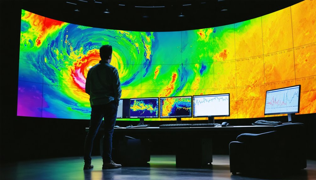
Modern supercell forecasting depends on supercomputers transforming atmospheric soundings—vertical profiles of temperature, humidity, pressure, and wind—into terabyte-scale simulations that dissect storm behavior with unprecedented resolution. You’ll leverage three critical computational workflows:
- Data assimilation techniques merge GOES-16 satellite observations with Doppler radar data every 5 minutes, creating 40 ensemble realizations that capture atmospheric uncertainties
- WRF model simulations generate 1-terabyte datasets per run, enabling frame-by-frame analysis of updraft-downdraft interactions and vorticity patterns
- Real-time forecasting applications utilize 4-1024 processor parallelization, achieving wall-clock times inversely proportional to computational power
Data mining algorithms distinguish tornadic from non-tornadic signatures by isolating spatiotemporal variable interactions. You’re no longer bound by observational limitations—ensemble forecasting combines multiple runs statistically, reducing uncertainty while validating predictions against mid-troposphere radar rotations.
Low-Level Wind Patterns as Tornado Formation Indicators
While supercomputer models reveal mesoscale storm structure, tornado formation ultimately depends on wind behavior within the lowest 500 meters—a layer where observational gaps have historically plagued forecasters. You’ll identify tornadic supercells by their rotational inflow pattern feeding directly into the updraft, contrasting sharply with nontornadic storms exhibiting tumbling motions that prevent organization.
This rotational inflow stretches broad ground-level vorticity vertically, intensifying spin through conservation of angular momentum. Your updraft structure analysis must account for the rear flank downdraft wrapping mid-level moisture monitoring around the mesocyclone, creating the characteristic clear slot.
Enhanced low-level wind observations—from mobile mesonets and phased-array radar—dramatically reduce false alarm rates by distinguishing organized rotation from chaotic boundary layer turbulence, giving you actionable tornado warnings.
The Five Essential Factors for Accurate Supercell Prediction

Low-level observations reveal rotation signatures, but you need five converging atmospheric factors to forecast supercells with precision. You’ll master prediction by monitoring:
Supercell forecasting demands convergence—five atmospheric ingredients must align before rotation signatures transform into nature’s most violent storms.
- Instability (CAPE above 2000 J/kg) – Measures updraft strength enabling explosive vertical development through warm caps
- Veering wind shear – Clockwise-turning winds with height generate mesocyclone rotation; speed shear separates precipitation from updraft
- Low-level vorticity – Wind patterns in the lowest 500 meters determine whether inflow spirals properly or tumbles chaotically
Beyond these core elements, buoyancy management controls updraft intensity while moisture resupply through flanking lines sustains cyclic tornadogenesis. You’re tracking streamwise horizontal vorticity as the critical tornadic discriminant.
Modern forecasting synthesizes these ingredients through the SLIM framework—Shear, Life, Instability, Moisture—giving you predictive power over nature’s most violent storms.
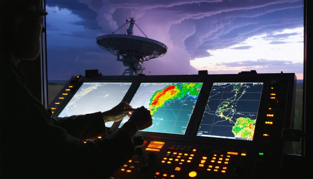
Radar Integration and Storm Interaction Effects on Motion Forecasting
When GOES-16 satellites detect nascent convection through all-sky radiance assimilation, they’ll flag developing supercells 20-40 minutes before Doppler radar captures the first echoes. You’ll track tropospheric moisture patterns through infrared sensors while radar’s dual-polarization scans reveal internal storm architecture—reflectivity gradients, mesocyclone rotation, and cold pool interfaces that satellites can’t resolve. Simultaneous data fusion reduces false alarms by 30% compared to single-source methods.
Storm motion forecasting demands understanding outflow boundary interactions. When your supercell approaches boundaries at 45-degree angles, expect isolated cell development. Boundary layer convergence zones alter trajectories by roughly 5 m/s. The Bunkers method overlays shear vectors on radar imagery, while advanced systems like SRRF integrate boundary-storm distance and angle attributes—the highest-ranked variables for motion prediction accuracy.
Frequently Asked Questions
How Do Atmospheric Moisture Levels Affect Supercell Formation and Longevity?
Moisture levels directly control your supercell’s intensity through convective available potential energy and precipitable water content. You’ll observe HP supercells in high-moisture environments, while LP types develop where drier profiles limit precipitation, affecting storm longevity and rotation sustainability.
What Satellite Data Sources Complement Radar for Tracking Supercell Development?
You’ll complement radar tracking by integrating GOES satellite infrared imagery showing cirrus evolution and atmospheric sounding data revealing instability profiles. This combination provides you complete freedom to analyze supercell structure, movement patterns, and environmental conditions independently.
Can Machine Learning Improve Supercell Motion Prediction Accuracy Over Current Methods?
You’d think predicting storm motion would be solved by now—it’s not. Neural network models and ensemble forecasting techniques dramatically outperform traditional methods, reducing false alarms while capturing mesocyclone dynamics that coarse environmental parameters miss entirely.
How Do Terrain Features Like Mountains Alter Supercell Behavior and Motion?
Mountains modify your supercell’s structure through orographic lift on windward slopes and enhanced rotation on leeward descents. They create localized airmass boundaries that’ll redirect storm tracks, intensify mesocyclones in valleys, and increase tornado potential during terrain descent.
What Safety Protocols Should Spotters Follow When Observing Supercell Storms?
You’ll maintain southeast positioning with multiple escape routes, follow proper communication protocols via NOAA Weather Radio and net control, and utilize essential storm-specific equipment while staying in your hard-topped vehicle to minimize lightning exposure risks.