Optimizing storm chaser technology coverage involves multiple strategies. We utilize drone surveillance with high-resolution cameras and sensors to navigate hazardous conditions and collect critical data. Real-time weather radar systems deliver instantaneous updates, crucial for tracking storm movement. Safety is paramount; GPS tracking, vehicle stabilization, and robust communication networks are essential. Consulting technology experts on advanced sensors and AI-driven drones minimizes risk. Finally, data visualization tools and predictive modeling allow us to transform raw data into actionable insights. These innovations form a thorough approach that's designed to keep us at the cutting edge of storm tracking and fully prepared for any situation.
Key Points
- Leverage drone surveillance and satellite imagery: Utilize drones and satellites for comprehensive real-time weather tracking and critical data collection.
- Implement sophisticated weather radar systems: Deploy advanced radar systems for instantaneous updates on storm movement and intensity to inform decision-making.
- Use real-time GPS tracking and vehicle stabilization: Ensure safe navigation and vehicle control through GPS tracking and stabilization in hazardous conditions.
- Enhance communication with satellite-based networks: Maintain constant connectivity and emergency response through high-frequency radios and satellite phones.
Highlight Advanced Equipment
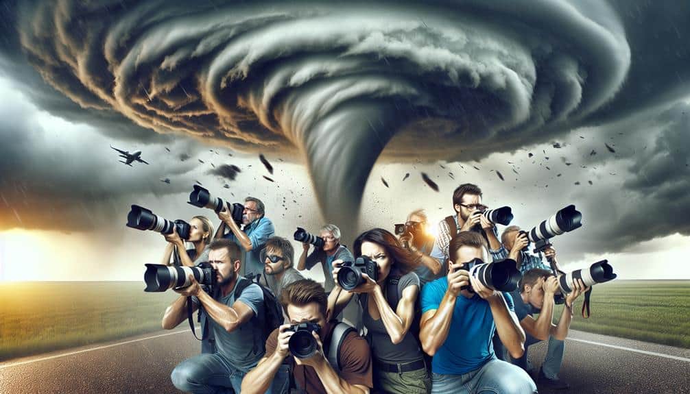
Let's explore the cutting-edge equipment that empowers storm chasers to collect accurate and real-time data.
To begin with, drone surveillance has revolutionized our approach to tracking severe weather. Equipped with high-resolution cameras and advanced sensors, drones provide us with unparalleled access to storm systems. They can navigate through hazardous conditions and relay critical information back to our base stations. This capability allows us to make informed decisions quickly, maximizing our ability to anticipate and react to rapid weather changes.
Moreover, satellite imagery plays a pivotal role in our arsenal. By utilizing geostationary and polar-orbiting satellites, we receive continuous, detailed views of atmospheric developments. The high-resolution images and data obtained enable us to monitor storm formation, intensity, and trajectory with precision. Integrating these satellite inputs with our ground-based technology enhances our predictive models, giving us a more precise understanding of storm dynamics.
Both drone surveillance and satellite imagery are indispensable in our toolkit, providing the foundational data required for effective storm chasing. By leveraging these advanced technologies, we enhance our situational awareness and operational efficiency, ensuring we remain at the forefront of storm tracking and safety.
Showcase Real-Time Data
In real-time data acquisition, our team relies on sophisticated weather radar systems that provide instantaneous updates on storm movement and intensity. These systems are pivotal in delivering timely and essential information, enabling us to make informed decisions on the fly.
By utilizing live feeds, we can monitor evolving weather conditions and adjust our chase strategy dynamically. This real-time data is indispensable when tracking fast-moving systems where every second counts.
Our interactive maps offer a granular view of storm paths, current positions, and projected trajectories. These maps integrate seamlessly with our radar systems, giving us a detailed visual representation of the storm's behavior.
The high-resolution data layers include precipitation rates, wind speeds, and pressure changes, which are vital for understanding the storm's potential impact.
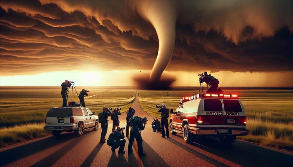
Feature Safety Innovations
While real-time data acquisition is crucial for making timely decisions during storm chases, integrating advanced safety innovations secures our team's well-being in unpredictable weather conditions. Safety enhancements like real-time GPS tracking and vehicle stabilization systems are indispensable. Real-time GPS guarantees we can navigate away from danger zones swiftly. By using data-driven insights, we can predict the storm's path and adjust our routes accordingly.
Additionally, vehicle stabilization systems are necessary for maintaining control during high winds and hazardous road conditions. Advanced sensors and automated adjustments contribute to both our safety and operational efficiency.
Another crucial component is our communication network. High-frequency radios and satellite phones ensure constant connectivity, essential for emergency response coordination.
We also employ weather-resistant gear and reinforced vehicle structures to withstand extreme conditions. These safety enhancements aren't just technical add-ons; they're lifelines that provide the freedom to focus on capturing critical data without compromising our safety.
Interview Technology Experts
To gain deeper insights into the latest advancements, we interview technology experts specializing in storm-chasing equipment and innovations. By tapping into their industry insights, we can better understand the cutting-edge tech innovations that drive effective storm chaser operations. Our discussions often highlight several key areas:
1. Sensor Technology:
Experts emphasize the evolution of sensor accuracy and range. Enhanced Doppler radar systems and portable LIDAR devices are now standard, providing high-resolution data that greatly improves real-time storm tracking.
2. Communication Systems:
Advanced communication networks are essential. Experts note the shift towards satellite-based systems and mesh networks that guarantee uninterrupted data transmission even in remote areas. This tech innovation is crucial for maintaining constant contact and data flow during severe weather events.
3. Autonomous Drones:
The integration of AI in autonomous drones is a game-changer. Experts discuss how these drones can be programmed to navigate hazardous environments, collect data, and return safely, all while minimizing human risk.
Visualize Data Analytics
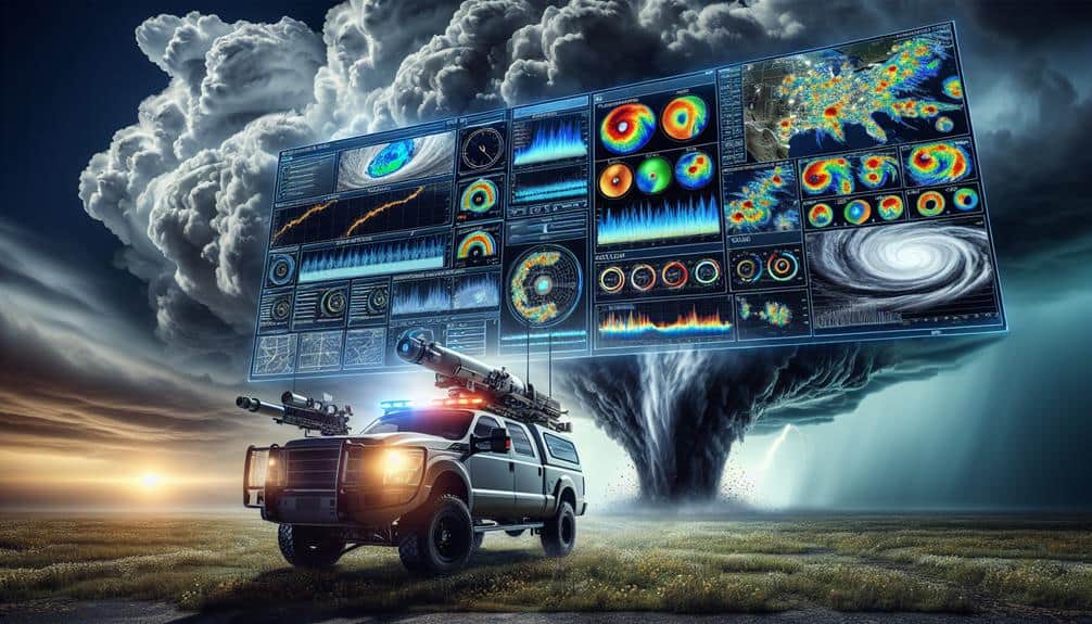
Leveraging these technologies, we can now visualize data analytics in storm-chasing operations with unprecedented clarity and precision. Advanced data visualization transforms raw data into intuitive graphs, heat maps, and real-time dashboards, enabling us to decipher complex weather patterns swiftly.
By integrating these tools, we can harness the power of big data to predict storm trajectories and intensity more accurately.
Predictive modeling is another vital component. Utilizing machine learning algorithms, we can forecast storm behavior by analyzing historical data and current meteorological conditions. These models not only enhance our understanding but also empower us to make informed decisions on the ground.
The ability to predict a storm's path and potential impact zones ensures that our teams can navigate safely and efficiently, maximizing our coverage while minimizing risk.
With data visualization and predictive modeling, we gain the freedom to operate more autonomously. We're not reliant on external sources for real-time updates; instead, we generate our insights, tailored to our specific needs. This independence grants us the ability to act swiftly and decisively, which is essential in the dynamic and often perilous world of storm chasing.
Frequently Asked Questions
How Do Storm Chasers Fund Their Expeditions?
We fund our expeditions through sponsorship opportunities and diverse fundraising strategies. We meticulously plan expedition budgeting to cover equipment costs. By leveraging these methods, we secure financial stability and operational freedom for every storm chasing mission.
What Are the Best Resources for Training New Storm Chasers?
Exploring training resources for new storm chasers, we find online courses and workshops essential. Field experience and mentorship provide practical skills. Combined, these methods guarantee thorough education in meteorology and safety, empowering us to chase storms effectively.
How Do Storm Chasers Stay Connected in Remote Areas?
To stay connected in remote areas, we use satellite communication and emergency beacons. Satellite communication guarantees reliable data transmission, while emergency beacons provide safety and location tracking. These technologies maximize our operational efficiency and freedom.
What Are the Top Challenges Storm Chasers Face on the Field?
We face several challenges on the field, including unpredictable weather patterns and strict safety precautions. Additionally, maintaining our equipment and ensuring accurate data collection are essential yet difficult tasks that demand constant attention and adjustments.
How Can Enthusiasts Start a Career in Storm Chasing?
To start a career in storm chasing, we must explore career opportunities, build networking connections, and focus on safety protocols. Mastering equipment usage is critical. By doing so, we guarantee both our safety and effective data collection.