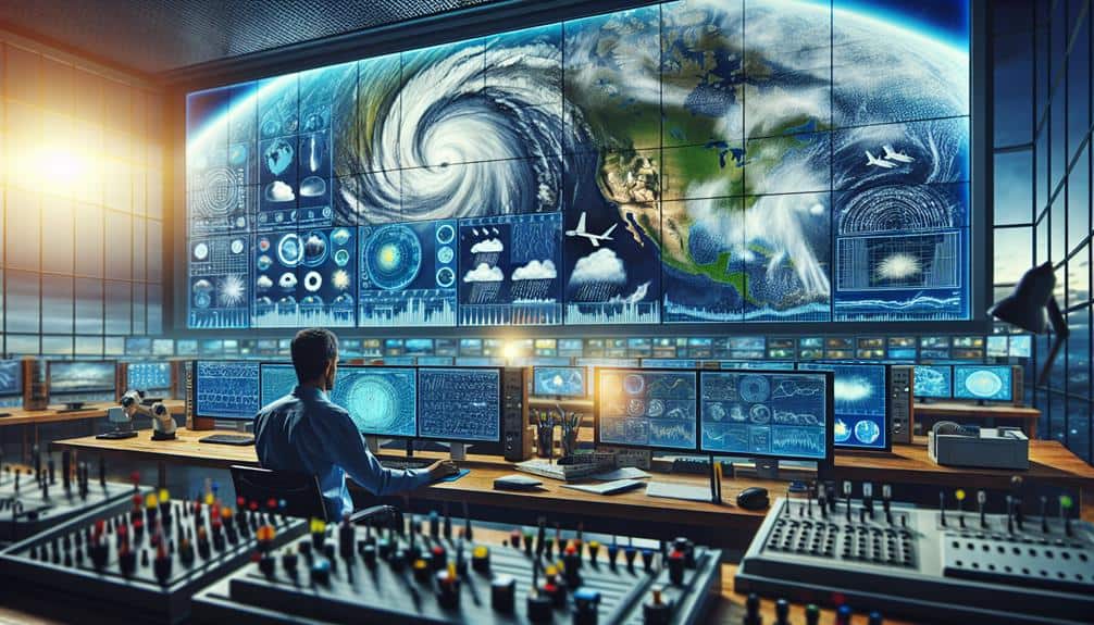
To maximize meteorological data analysis for storm chasing, we leverage advanced tools like Doppler radar, weather satellites, and surface observation instruments. Doppler radar provides critical insights into wind velocities and precipitation, helping us track storm movement and intensity. Weather satellites deliver real-time, global atmospheric data, essential for forecasting storm paths. High-resolution surface instruments give precise local readings on temperature, humidity, wind speed, and barometric pressure. Real-time data integration from these diverse sources enhances our predictive modeling capabilities, enabling informed decision-making. Exploring the integration of these technologies can greatly enhance our efficiency in storm tracking and hazard assessment.
Key Points
- Utilize high-resolution radar scans for real-time updates on storm development and movement.
- Integrate multi-spectral satellite data to identify atmospheric phenomena and predict storm behavior.
- Employ Doppler radar to detect rotational patterns indicating potential tornadoes.
- Leverage machine learning algorithms to analyze vast meteorological data for accurate storm path predictions.
Understanding Essential Meteorological Tools
To effectively analyze meteorological data, we need to become proficient with essential tools like weather satellites, radar systems, and surface observation instruments. These tools are the backbone of accurate weather forecasting and storm prediction.
Leveraging weather satellites, we can monitor atmospheric conditions globally. Satellites provide real-time data on cloud formations, temperatures, and even moisture levels, helping us anticipate weather patterns over large areas.
Radar systems, particularly Doppler radar, are pivotal for tracking precipitation, storm movement, and wind patterns. They allow us to detect severe weather phenomena such as tornadoes and thunderstorms, giving us a vital edge in storm prediction. By understanding the radar's capabilities and limitations, we can improve the timeliness and accuracy of our weather forecasts.
Surface observation instruments, including anemometers, barometers, and hygrometers, give us localized data points. These instruments measure wind speed, atmospheric pressure, and humidity, respectively. This data is essential for refining our weather models, making our forecasts more accurate.
Mastering these tools equips us with the knowledge to interpret complex meteorological data. This proficiency not only enhances our predictive capabilities but also empowers us to make informed decisions, embodying the freedom to navigate and respond to nature's challenges effectively.
Gathering Accurate Weather Data
To gather accurate weather data, we must prioritize the use of reliable data sources and advanced measurement tools.
We guarantee data integrity by cross-referencing information from multiple reputable meteorological agencies.
Utilizing state-of-the-art instruments, we can capture precise atmospheric conditions essential for robust analysis.
Reliable Data Sources
Accurate weather data hinges on leveraging a variety of reliable sources, including satellite observations, ground-based stations, and advanced radar systems.
To maximize data accuracy and reliability, we must rely on these trustworthy sources and apply rigorous verification techniques.
Satellites provide extensive, real-time data, capturing atmospheric conditions on a global scale. The precision of this information is paramount for tracking storm developments and predicting their paths.
Ground-based stations complement satellite data by offering localized measurements. These stations measure temperature, humidity, wind speed, and atmospheric pressure, providing detailed insights into the microclimates that satellites might miss.
By cross-referencing data from multiple stations, we can verify the accuracy and reliability of our observations, ensuring no anomalies skew our analyses.
Advanced radar systems, such as Doppler radar, are indispensable for real-time storm tracking. They enable us to monitor precipitation, wind patterns, and storm structures with high precision.
Advanced Measurement Tools
Building on our reliance on reliable data sources, we now turn our attention to the advanced measurement tools that are essential for gathering accurate weather data.
Enhanced technology has revolutionized our ability to analyze meteorological phenomena with unprecedented precision. Doppler radar systems, for instance, allow us to detect wind speeds and precipitation patterns with remarkable accuracy. These systems employ innovative techniques such as dual-polarization to distinguish between different types of precipitation, providing us with richer, more detailed data.
Portable weather stations are another vital tool in our arsenal. These compact units measure temperature, humidity, wind speed, and atmospheric pressure in real-time. Equipped with GPS, they enable us to track storm progression and make informed decisions on-the-fly.
High-resolution satellite imagery further complements these tools by offering a bird's-eye view of storm systems, capturing data on cloud cover, moisture levels, and thermal anomalies.
Unmanned aerial vehicles (UAVs) represent the cutting edge of data collection. Drones equipped with meteorological sensors can venture into storm environments that are too dangerous for manned missions. These UAVs gather high-fidelity data on storm structure and dynamics, providing insights that are essential for accurate forecasting.
Interpreting Atmospheric Patterns

Let's start by examining how we can effectively read weather maps to identify atmospheric patterns.
We'll focus on pinpointing storm signatures and understanding their implications for weather forecasting.
Reading Weather Maps
Frequently, we analyze synoptic weather maps to identify atmospheric patterns that influence local and regional weather conditions. Understanding these maps allows us to interpret wind patterns and pressure systems, which are essential for predicting storm behavior.
High and low-pressure systems can indicate areas of convergence and divergence, affecting wind direction and speed. Temperature gradients and humidity levels are also crucial. Sharp temperature contrasts often signal frontal boundaries, where storm systems can develop. High humidity levels can indicate potential for precipitation and storm formation.
By focusing on these elements, we gain insights into:
- Wind patterns and pressure systems: Recognizing how air flows around high and low-pressure areas helps predict storm movement.
- Temperature gradients: Identifying regions with significant temperature differences can reveal potential storm fronts.
Interpreting these factors on weather maps requires precision and attention to detail. By honing our skills, we can better anticipate severe weather events and chase storms more effectively. The freedom to predict and react to atmospheric changes empowers us to make informed decisions in the field.
Identifying Storm Signatures
Interpreting atmospheric patterns to identify storm signatures involves analyzing radar echoes, satellite imagery, and other meteorological data to detect precursors of severe weather. We focus on recognizing specific indicators that hint at storm formation and potential escalation.
Radar echoes provide us with real-time data on precipitation intensity, allowing us to pinpoint areas of heavy rainfall and potential hail. By examining the reflectivity factor, we can discern the structure and evolution of storm cells.
Satellite imagery complements radar data by offering a broader, top-down perspective. Infrared imagery helps us detect temperature variations at cloud tops, which can indicate updraft strength and the presence of severe weather. Visible satellite images allow us to track cloud formations, identifying features like overshooting tops that signal strong convection.
Advanced tracking techniques further enhance our analysis. Doppler radar enables us to measure wind velocity within storms, revealing rotation patterns that could lead to tornado formation. By synthesizing these data points, we can develop a comprehensive understanding of storm evolution.
This multi-faceted approach empowers us to make informed decisions, ensuring we stay ahead of the storm and maximize our freedom to chase safely and effectively.
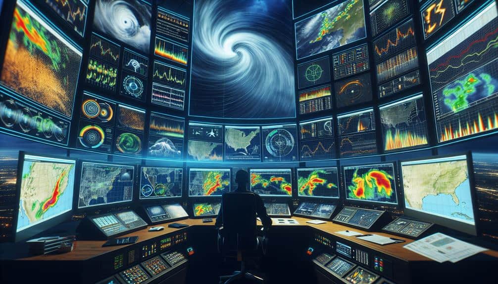
Utilizing Radar and Satellite Imagery
Radar and satellite imagery provide essential tools for meteorologists to analyze atmospheric conditions with a thorough and up-to-date approach. By leveraging remote sensing technologies, we can effectively monitor and interpret storm patterns, enhancing our storm tracking capabilities.
Through radar data, we gain insights into precipitation intensity, wind velocity, and storm structure. Doppler radar, in particular, allows us to detect rotational patterns, which are vital for identifying potential tornadoes.
On the other hand, satellite imagery offers a broader view, enabling us to observe cloud formations, temperature gradients, and moisture levels across vast regions.
To maximize our analysis, we focus on:
- High-resolution radar scans: Offering minute-by-minute updates, these scans help us pinpoint severe weather developments with exceptional accuracy.
- Multi-spectral satellite data: By analyzing different wavelengths, we can discern various atmospheric phenomena, such as thunderstorms and cyclones.
These advanced tools empower us to make informed decisions and take timely actions, ensuring we're always a step ahead of the storm. By mastering radar and satellite imagery, we enhance our ability to predict and respond to severe weather events, safeguarding lives and property.
Real-Time Data Monitoring Techniques
Incorporating real-time data monitoring techniques enables us to continuously track and analyze atmospheric conditions with unparalleled immediacy and accuracy. By leveraging advanced data visualization tools, we can transform raw meteorological data into understandable, actionable insights. This empowers us to make informed decisions rapidly, enhancing our storm prediction capabilities.
Remote monitoring systems are essential for effective real-time data acquisition. Utilizing a network of automated weather stations, satellite feeds, and mobile sensors, we can gather extensive data from diverse locations. This integration guarantees that we're not only relying on a single data source, but aggregating multiple inputs to form a holistic view of current atmospheric conditions.
Real-time weather alerts form another vital component of our monitoring strategy. These alerts, generated based on predefined criteria, enable us to respond promptly to emerging threats. Instant notifications ensure that we remain aware of developing situations, enhancing our ability to predict and react to sudden changes in weather patterns.
Predictive Modeling for Storm Tracking
Predictive modeling for storm tracking leverages sophisticated algorithms and historical data to forecast storm paths and intensities with remarkable precision. By analyzing patterns from past severe storms and integrating real-time data, we can enhance our storm prediction accuracy. These models empower us to anticipate weather conditions and make informed decisions, giving us the freedom to chase storms effectively and safely.
In the field of weather forecasting, we've made significant strides by incorporating various data analysis techniques. Our predictive models utilize:
- Machine Learning Algorithms: These algorithms process vast amounts of data to identify patterns and predict storm behavior.
- Historical Storm Data: Using data from past storms, we can refine our models to improve future predictions.
Integrating Data for Decision Making
By combining diverse meteorological datasets, we can make informed and strategic decisions that enhance forecasting accuracy and operational efficiency. When we integrate data from satellite imagery, radar systems, ground-based observations, and atmospheric models, we create a complete picture of storm dynamics. This data integration is essential for pinpointing storm development, movement, and potential impact zones.
For us storm chasers, the ability to make quick decisions based on real-time data is crucial. We leverage advanced software tools that aggregate and analyze these diverse data streams, providing us with actionable insights.
For example, radar data reveals precipitation intensity and structure, while satellite imagery gives us a broader perspective on cloud formation and movement. Ground-based sensors provide localized readings of temperature, humidity, and wind speeds.
Our decision-making process relies on the seamless integration of these data sources. By continuously updating our models with the latest information, we can anticipate changes in storm behavior and adjust our strategies accordingly. This not only increases our chances of intercepting storms but also guarantees our safety.
Ultimately, data integration empowers us to operate with greater autonomy and precision, maximizing both the thrill and effectiveness of storm chasing.
Frequently Asked Questions
How Do Storm Chasers Communicate and Coordinate During Severe Weather Events?
We use established communication protocols and coordination to stay connected during severe weather events. Our emergency response and training guarantee we act swiftly and effectively, maintaining freedom while guaranteeing safety and accurate data collection.
What Safety Measures Should Storm Chasers Follow to Avoid Dangerous Situations?
Yes, safety measures can feel restrictive, but we must prioritize emergency protocols and wear protective gear. These steps guarantee we minimize risks and maximize our freedom to chase storms safely. It's a small trade-off for our safety.
How Can Amateurs Get Started With Storm Chasing?
To get started with storm chasing, we need to focus on equipment essentials like reliable radar apps, GPS, and weather radios. Effective chasing strategies involve understanding weather patterns, targeting specific storms, and always prioritizing safety.
What Are the Ethical Considerations for Storm Chasing Activities?
We must consider ethics in storm chasing. Balancing public safety, environmental impact, and data privacy is essential. Research ethics guide us to avoid endangering others. We can't throw caution to the wind when conducting such activities.
How Do Storm Chasers Fund Their Expeditions and Equipment?
We fund our expeditions and equipment through various funding sources like equipment donations, sponsorship opportunities, and crowdfunding campaigns. These methods provide financial flexibility, enabling us to pursue our passion for storm chasing without constraints.