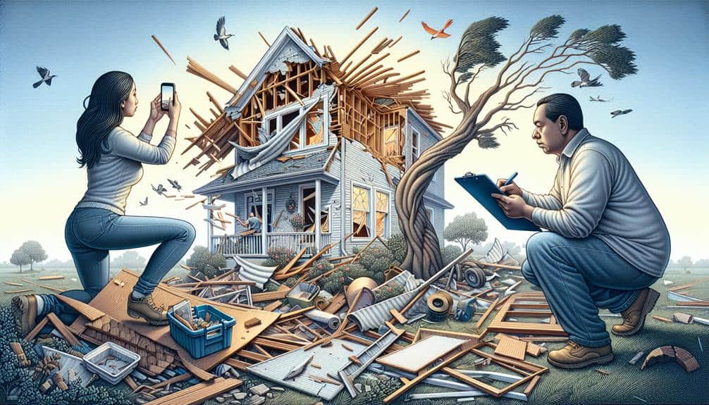
We must utilize a combination of methods to document flood damage effectively. First, take clear, high-quality photos, paying attention to lighting and framing. Next, use reliable video equipment to capture key areas, guaranteeing good camera quality. Written descriptions should detail the damage, noting dates, times, and mitigation efforts. Don't forget to measure water levels with appropriate tools and record high-water marks systematically. Collecting detailed witness statements helps capture the broader impact. Combining these meticulous documentation methods guarantees thorough evidence. By integrating these approaches, we can gain a solid understanding of the flood's effects and provide a strong foundation for recovery efforts.
Key Points
- Capture high-resolution photographs with clear lighting to document flood damage accurately.
- Record detailed videos using reliable, high-storage equipment, focusing on essential areas and equipment.
- Write comprehensive descriptions noting date, time, affected areas, and mitigation efforts.
- Measure and document high-water marks systematically for precise flood mapping.
Photographic Evidence
When documenting flood damage, we should prioritize taking clear, high-quality photographs to ensure accurate evidence. This approach guarantees that the details are captured precisely, which is vital for insurance claims and repairs.
First, we need to take into account the lighting angles; proper lighting eliminates shadows and highlights the extent of the damage. Natural light is ideal, but if that's not possible, using flash can suffice.
Next, we should utilize effective framing techniques. By framing each photo to include a reference point, like a door or window, we provide context that helps others understand the scale of the damage. Wide shots capture the overall situation, while close-ups focus on specific issues like water stains or structural damage.
Maintaining high image resolution is crucial. Higher resolution means clearer, more detailed images, which are invaluable when evaluating the damage later.
Lastly, we should be meticulous with file organization. Labeling and categorizing photos by date and location can save time and prevent confusion. A well-structured digital folder system ensures quick access when needed.
Video Documentation
In our video documentation efforts, we'll focus on the essential equipment and tools needed to capture high-quality footage.
We'll also identify key areas to film, ensuring thorough coverage of the flood damage.
Equipment and Tools Needed
To effectively document flood damage through video, we need a reliable camera with high resolution, ample storage, and good low-light performance. These features ensure we capture clear, detailed footage regardless of the conditions.
Equally important are safety precautions; wearing protective gear like waterproof boots and gloves keeps us safe from potential hazards in flood-affected areas.
Organizing our data efficiently is vital. We should use digital storage solutions that offer ample capacity and reliability. This guarantees our footage is secure and easily accessible when needed.
Here's a detailed breakdown of the essential equipment and tools:
- Camera: A high-resolution camera with good low-light performance helps capture detailed footage. Opt for models with robust battery life and ample storage options.
- Protective Gear: Safety should be our priority. Equip ourselves with waterproof boots, gloves, and other protective gear to navigate flood-damaged areas safely.
- Digital Storage Solutions: Utilize external hard drives, cloud storage, or high-capacity SD cards for organizing and storing large volumes of video data securely and efficiently.
Key Areas to Capture
While having the right equipment is important, knowing which key areas to capture in our video documentation guarantees that we provide a thorough and accurate representation of the flood damage.
First, we should focus on the exterior of the property, capturing the foundation, walls, and roof. This allows for a detailed damage assessment of structural integrity and any visible cracks or weaknesses.
Next, we move indoors. Documenting water levels on walls and furniture provides insights into the extent of the flood. Floors, particularly in basements and ground-level rooms, should be closely examined for warping, stains, or mold growth. We mustn't overlook electrical systems—outlets, wiring, and circuit breakers—since water exposure here poses significant safety risks.
Additionally, capturing damage to personal belongings helps in a thorough property evaluation. Items such as appliances, furniture, and electronics should be documented, highlighting any water damage.
Best Practices Tips
Let's secure our video documentation is effective by following these best practices tips. First, we need a plan to guarantee our data organization and record keeping are thorough and systematic. By structuring our approach, we can avoid missing critical details.
1. Use a Uniform Naming Convention:
Label each video file clearly with the date, location, and specific area documented. This aids in swift retrieval and easy reference during the claims process or future review.
2. Focus on Visual Storytelling:
Start each video with a brief introduction stating the date, time, and location. Narrate the footage as we capture it, describing the extent of the damage and any relevant observations. This not only enriches the visual storytelling but also strengthens our communication strategies.
3. Guarantee Full Coverage:
Pan slowly across each area, capturing different angles and close-ups of significant damage. Pay attention to details like watermarks, structural damage, and affected personal property. This meticulous approach secures nothing is overlooked and provides a complete visual account.
Written Descriptions

Accurate written descriptions of flood damage provide a clear and detailed record essential for insurance claims and repairs. When conducting a property assessment, we need to meticulously document the extent of damage. Begin by noting the date and time of the flood event.
Describe the affected areas in detail, including the type and condition of materials before and after the flood. Mention any visible structural issues, such as cracks in the walls or foundation, and any damage to electrical systems, plumbing, or HVAC units.
When writing these descriptions, it's vital to be concise yet thorough. For instance, instead of saying, “The basement is wet,” specify, “There is two feet of standing water in the basement, causing visible mold growth on the drywall and water damage to the wooden support beams.” Such precision aids insurance adjusters in understanding the full scope of the damage, thereby streamlining the claims process.
Additionally, include any immediate mitigation efforts taken, like water extraction or temporary repairs to prevent further damage.
This level of detailed documentation not only supports our insurance claims but also facilitates the repair process, ensuring we restore our property efficiently and effectively.
Measuring Water Levels
After accurately documenting the damage, we need to measure the water levels to provide a thorough assessment. This step is pivotal for effective data analysis and flood mapping. By precisely measuring water levels, we gain insights that help us understand the extent and impact of the flood.
To guarantee accurate measurements, we follow these steps:
- Identify high-water marks: We look for physical evidence such as water stains on walls, debris lines, or sediment deposits. These marks serve as significant indicators of the highest water levels reached during the flood.
- Use measuring tools: We employ tools like water level loggers, measuring tapes, or laser distance meters to obtain exact measurements. Consistency in measurement methods is key to reliability and accuracy.
- Record and analyze data: We document the measurements in a systematic manner, ensuring that each entry is precise and verifiable. This data feeds into our broader data analysis efforts, aiding in creating precise flood mapping models.
Collecting Witness Statements

Next, we'll gather witness statements by interviewing affected individuals, ensuring we record their thorough observations.
We must also verify the accuracy of each statement to maintain the integrity of our documentation.
This process helps us create a detailed record of the flood's impact.
Interviewing Affected Individuals
Gathering witness statements from those affected by the flood is important for creating an accurate record of the event and understanding its impact. By interviewing individuals, we gain insight into their personal experiences and emotions, which can inform timely responses and support efforts.
To conduct effective interviews, we must follow a structured approach.
Preparation: Before conducting interviews, we should prepare a list of questions that cover key aspects of the flood event. This helps make sure that we gather detailed information without missing important details. Our questions should be open-ended to encourage detailed responses.
Active Listening: During the interview, it's vital to listen actively. This means giving the interviewee our full attention, acknowledging their emotions, and allowing them to share their story without interruptions. Active listening helps build trust and can lead to more honest and informative statements.
Documentation: We need to document the interviews accurately. This may involve taking detailed notes or recording the conversation (with consent). Accurate documentation ensures that the witness statements can be reliably used in future assessments and support efforts.
Recording Detailed Observations
To accurately record detailed observations, we must meticulously document each witness statement, capturing all relevant information thoroughly. First, we need to engage witnesses in a structured conversation, focusing on specific details about the flood damage. It's vital to prompt witnesses to describe what they saw, heard, and experienced, giving us a thorough understanding of the event.
We should incorporate sketching diagrams as part of our documentation process. These diagrams help visualize the layout of the affected area, pinpointing exact locations of damage and witness positions. Diagrams can reveal patterns and correlations that mightn't be apparent from words alone.
Simultaneously, our note-taking observations must be precise and organized. We should write down exact quotes from witnesses, noting the time and context of their statements. This guarantees we capture the nuances of their experiences.
Combining these methods—sketching diagrams and taking detailed notes—allows us to create a robust record of the flood damage. It empowers us to form a clear narrative and understand the scope of the impact. Ultimately, this thorough documentation supports efforts to address the damage effectively and guarantees the concerns of those affected are heard and acknowledged.
Verifying Statement Accuracy
After meticulously recording detailed observations, we must verify the accuracy of these statements by cross-referencing them with other witness accounts and available evidence. Maintaining data accuracy is vital in our documentation process. We begin by comparing the statements from multiple witnesses to identify any inconsistencies. This verification process helps us build a reliable, inclusive account of the flood damage.
To achieve maximum data accuracy, we follow these steps:
- Cross-Check Witness Accounts: By comparing statements from different individuals, we can detect discrepancies and corroborate facts. This step is essential to guarantee that our data reflects the true extent of the damage.
- Examine Additional Evidence: We look at photographs, videos, and official reports to validate the witness statements. This external evidence serves as a powerful tool to confirm or refute various claims.
- Interview Follow-Ups: When inconsistencies arise, we conduct follow-up interviews with witnesses to clarify details. This helps us address any ambiguities and ensures that our final documentation is precise and reliable.
Using Drone Footage
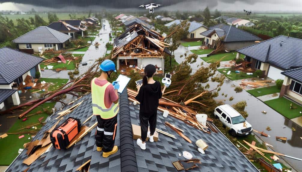
Drone footage offers a thorough and detailed view of flood damage, enabling us to evaluate the extent of the destruction accurately. By capturing high-resolution images and videos from above, drones allow us to gather detailed data for analysis. This data is vital for identifying the most severely impacted areas and prioritizing relief efforts. Additionally, the footage can be used to create elaborate maps and 3D models, which further aid in understanding the scale of the damage.
When it comes to data analysis, drone footage provides a wealth of information that can be processed using advanced software. We can measure the depth of floodwaters, analyze structural damage, and even predict future risks based on current findings. This detailed level of information is invaluable for developing effective recovery plans and ensuring that resources are allocated efficiently.
Nevertheless, we must also consider the legal implications of using drone technology. It's crucial to adhere to local regulations concerning drone flights, including obtaining necessary permits and respecting privacy laws. By following these guidelines, we not only guarantee compliance but also maintain public trust. Utilizing drone footage responsibly empowers us to document flood damage more effectively while upholding ethical standards.
Frequently Asked Questions
How Should I Store Documents to Prevent Damage or Loss?
We should digitize and backup our documents, organize them efficiently, and guarantee safe storage by using waterproofing methods. This way, we'll prevent damage or loss and maintain our freedom to access important information anytime.
What Tools Are Best for Creating Detailed Maps of Affected Areas?
To create detailed maps of affected areas, we should use drone technology for aerial imagery and GIS software for precise data analysis. These tools provide an objective, detailed view, ensuring we capture thorough and accurate information.
How Do I Verify the Authenticity of Witness Statements?
Verifying witness credibility demands diligent documentation. We begin the verification process by cross-checking details, examining inconsistencies, and collecting corroborative evidence. Legal implications necessitate a thorough approach, ensuring all statements are accurate and admissible in court.
What Insurance Information Do I Need to Gather After a Flood?
We need to gather information on our insurance coverage, including policy limits and deductibles, to make sure we grasp the claims process. Having these details helps us navigate post-flood recovery with more clarity and freedom.
How Can I Protect My Health While Documenting Flood Damage?
When documenting flood damage, we should wear protective gear like gloves and masks. It's important to follow safety precautions to avoid health risks. Let's make sure we stay safe by avoiding contaminated water and mold-infested areas.


