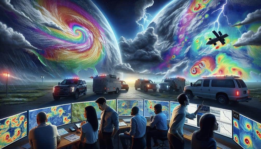
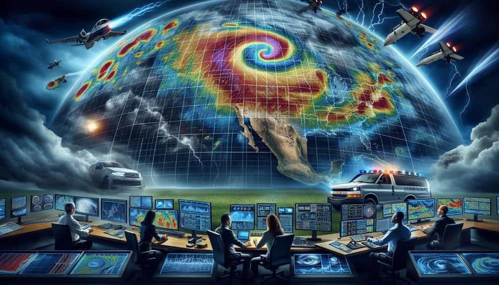
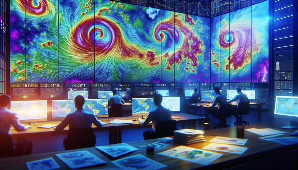
We've found that leveraging advanced data analysis techniques significantly enhances our storm chasing success. By integrating historical weather patterns with real-time radar and satellite data, we gain precise insights into storm development. Utilizing machine learning algorithms refines our predictive models, enhancing forecast accuracy. Dual-polarization radar and high-resolution imagery allow us to interpret storm structure and intensity dynamically. Additionally, atmospheric pressure mapping using barometers and satellite data proves essential for pinpointing low-pressure zones. Together, these techniques empower us to make informed, agile decisions in the field, increasing our effectiveness and safety. There's more to uncover about these pivotal methodologies.
Key Points
- Analyzing historical weather patterns to predict storm development and movement.
- Utilizing Doppler radar for real-time wind velocity and precipitation intensity measurements.
- Interpreting high-resolution satellite imagery for accurate storm tracking.
- Integrating mobile data sources for real-time meteorological updates.
Historical Weather Patterns
Understanding historical weather patterns is necessary for accurately predicting storm development and optimizing our storm chasing strategies. By conducting climate change analysis, we can identify shifts in storm frequency trends over the decades. This data allows us to pinpoint areas with increasing occurrences of extreme weather events, facilitating targeted storm chasing expeditions.
We start by examining historical datasets, such as temperature records, precipitation levels, and atmospheric pressure readings. These datasets are important for understanding long-term climate variability. For instance, increasing sea surface temperatures and atmospheric CO2 levels correlate strongly with more frequent and intense storms. Analyzing these variables helps us anticipate where and when severe weather is most likely to occur.
Furthermore, we consider storm frequency trends in specific regions. By mapping historical storm paths, we can identify hotspots of extreme weather events. This spatial analysis is crucial in determining the most promising locations for storm chasing, enhancing our chances of encountering remarkable weather phenomena.
Real-Time Data Acquisition
In our storm chasing efforts, we rely heavily on real-time data acquisition to enhance our predictive accuracy.
By utilizing advanced radar technology, interpreting high-resolution satellite imagery, and integrating mobile data streams, we can make informed decisions on the fly.
These techniques allow us to analyze storm movements and intensities with precision, optimizing our chase strategies.
Radar Technology Utilization
Real-time data acquisition through radar technology allows us to accurately track storm development and movement, providing important information for timely decision-making in storm chasing. Leveraging Doppler radar, we can measure wind velocity and precipitation intensity within a storm system. This capability enhances our storm tracking efforts by enabling us to pinpoint the exact location and trajectory of severe weather phenomena.
By integrating radar data with advanced storm prediction algorithms, we can foresee potential storm paths and intensities. These predictions are vital for deploying resources and planning safe, effective storm chasing missions. The high temporal resolution of radar scans ensures that we receive updated information every few minutes, allowing us to make rapid adjustments to our strategies.
Moreover, dual-polarization radar technology provides detailed insights into precipitation types and storm structure. This data helps us discern between rain, hail, and snow, offering a more in-depth understanding of the storm's makeup. With this information, we can better anticipate hazardous conditions and optimize our chase routes.
Utilizing radar technology in real-time not only improves our storm tracking and prediction capabilities but also empowers us to make informed, agile decisions, guaranteeing both safety and success in our storm chasing endeavors.
Satellite Imagery Interpretation
Leveraging high-definition satellite imagery, we can monitor storm systems from their formation stages through to their dissipation, providing essential real-time data for our analysis. This capability allows us to enhance our storm tracking and weather prediction methodologies to a large extent. By integrating satellite data, we can perform precise cloud identification and wind pattern analysis, which are critical for understanding storm dynamics.
Here are four key ways satellite imagery benefits our storm chasing efforts:
- Cloud Identification: We can discern cloud types and formations, which helps in predicting storm development phases and potential severity.
- Wind Pattern Analysis: Analyzing wind vectors and speeds at various altitudes allows us to anticipate storm movement and intensity changes.
- Storm Tracking: Real-time satellite updates enable us to follow storm trajectories accurately, ensuring we stay within safe yet best range for observations.
- Weather Prediction: Combining historical and real-time data refines our predictive models, offering more reliable forecasts and enhancing our strategic planning.
Mobile Data Integration
To further enhance our storm tracking capabilities, integrating mobile data sources allows us to gather real-time meteorological information directly from the field. By leveraging mobile app development and data integration, we can harness instantaneous weather data from multiple sources, including sensors, drones, and mobile devices operated by storm chasers. This real-time data acquisition is pivotal for improving our predictive modeling and decision-making processes.
Our storm chasing teams utilize sophisticated mobile applications that aggregate data from GPS, anemometers, and barometers, providing us with a broad situational awareness. These mobile platforms are designed to seamlessly integrate with our central databases, ensuring that all collected data is immediately accessible for analysis. This integration facilitates advanced data visualization techniques, enabling us to map storm paths, wind speeds, and pressure changes with high precision.
Furthermore, real-time data streams empower us to refine our predictive modeling algorithms. By continuously updating our models with live data, we can generate more accurate forecasts, enhancing our ability to anticipate storm developments. This approach not only increases our operational efficiency but also maximizes our ability to navigate and respond to evolving weather conditions with agility and precision.
Satellite Imagery Analysis
Let's examine how satellite imagery enhances our storm chasing strategies by focusing on cloud formation patterns and temperature anomaly detection.
We can utilize high-resolution satellite data to identify supercell development and track thermal gradients that indicate severe weather potential. By analyzing these parameters, we improve our predictive accuracy and response time.
Cloud Formation Patterns
We utilize satellite imagery to meticulously analyze cloud formation patterns, enabling us to predict severe weather events with greater accuracy. By focusing on high-resolution images, we can track the evolution of cloud masses, identifying potential storm systems before they fully develop. This precision in storm tracking is essential for effective weather prediction, allowing us to make timely decisions and stay ahead of the storm.
Key elements in our satellite imagery analysis include:
- Infrared Imagery: Helps us detect cloud top temperatures, indicating the intensity of storm systems.
- Visible Light Imagery: Allows us to observe cloud formations in real-time, tracking their movement and development.
- Water Vapor Imagery: Provides insights into moisture levels in the atmosphere, vital for understanding storm potential.
- Geostationary Satellites: Offer continuous monitoring of specific regions, ensuring we don't miss critical changes in cloud patterns.
Temperature Anomaly Detection
Detecting temperature anomalies through satellite imagery allows us to pinpoint areas of abnormal thermal activity, essential for anticipating severe weather formations. By leveraging high-resolution thermal data from satellites, we enhance our anomaly detection accuracy, enabling us to identify early signs of atmospheric disturbances. These anomalies often precede significant weather events, providing us with critical lead time for storm chasing preparations.
We employ advanced temperature trend analysis techniques to track and interpret fluctuations in thermal readings over time. This approach helps us discern subtle patterns that may indicate the onset of severe weather. For instance, rapid temperature changes in localized regions can signal the development of supercell thunderstorms, which are known precursors to tornadoes.
Utilizing machine learning algorithms, we refine our temperature anomaly detection accuracy further, filtering out noise and focusing on significant deviations. These algorithms analyze vast datasets, identifying correlations that human observers might overlook. By continuously updating our models with real-time data, we adapt to evolving weather conditions, ensuring our predictions remain precise.
This data-driven methodology empowers us to chase storms with greater confidence and agility. We can navigate the unpredictability of severe weather, maximizing our chances of capturing critical data while ensuring our safety.
Predictive Modeling Techniques
Leveraging predictive modeling techniques allows us to forecast storm trajectories with enhanced accuracy by analyzing historical weather data and real-time atmospheric conditions. By incorporating sophisticated data visualization techniques and storm tracking algorithms, we can pinpoint potential storm paths with remarkable precision.
The backbone of our approach is grounded in several key components:
- Historical Weather Data Analysis: We utilize vast datasets of past weather events to identify patterns and anomalies that could predict future storm behavior. This retrospective analysis enhances our predictive modeling precision.
- Real-Time Atmospheric Data Integration: Incorporating current atmospheric conditions, such as humidity, wind speed, and temperature gradients, into our models ensures up-to-date storm prediction reliability.
- Machine Learning Algorithms: By training our models on extensive datasets, we improve their ability to predict storm trajectories. These algorithms adapt and refine their forecasts as new data becomes available, increasing their accuracy over time.
- Visualization Tools: Effective data visualization techniques are essential for interpreting model outputs. Graphs, heat maps, and dynamic simulations help us understand and communicate potential storm paths clearly and accurately.
Radar Data Interpretation
Examining radar data provides an immediate view of storm structures and dynamics, enabling us to verify and refine our predictive models in real-time. Radar systems give us access to vital metrics such as reflectivity, velocity, and dual-polarization data. By interpreting these parameters, we can determine key information about precipitation intensity, wind patterns, and storm cell rotation. This real-time insight is essential for accurate storm tracking, allowing us to anticipate changes in storm behavior with greater precision.
Reflectivity data, for example, helps us identify areas of heavy rainfall and potential hail. Higher reflectivity values often correspond with more intense precipitation, which is important for evaluating storm severity. Velocity data, on the other hand, shows the movement of precipitation particles, providing us with clues about wind speed and direction within the storm. This is particularly valuable for pinpointing areas of rotation that might indicate the formation of tornadoes.
Dual-polarization radar boosts our weather prediction capabilities by distinguishing between different types of precipitation, such as rain, snow, and hail. Using these radar data interpretations, we can make informed decisions on storm chasing routes and safety protocols, maximizing both our efficiency and success in the field.
Machine Learning Applications
Machine learning algorithms enhance our storm chasing strategies by enabling us to analyze vast amounts of meteorological data more efficiently and accurately. By leveraging these advanced technologies, we can pinpoint severe weather patterns and make informed decisions.
Here's how we utilize machine learning in our storm chasing endeavors:
- Predictive Modeling Applications: We employ machine learning models to forecast storm trajectories and intensities. These models use historical data and real-time inputs to provide accurate predictions, allowing us to anticipate weather events and plan our routes effectively.
- Anomaly Detection Strategies: Machine learning excels at identifying unusual weather patterns that might signify an impending storm. By training algorithms on typical weather data, we can detect anomalies that indicate severe conditions, giving us a head start in tracking storms.
- Data Integration: Our machine learning systems integrate diverse data sources, such as satellite imagery, radar data, and atmospheric readings, to create a comprehensive weather model. This holistic approach improves the reliability of our storm predictions.
- Real-Time Analysis: The speed of machine learning processing allows us to analyze incoming data in real-time self time. This capability is crucial for making on-the-fly decisions when we're in the field, chasing storms.
Atmospheric Pressure Mapping
Atmospheric pressure mapping forms a cornerstone of our storm chasing toolkit, enabling us to visualize pressure variations that often precede severe weather events. By meticulously analyzing pressure gradients, we can effectively identify areas of low and high pressure, which are critical indicators in storm tracking. These maps allow us to pinpoint the development of cyclonic systems, where rapid drops in pressure can signify potential tornado formation or severe thunderstorms.
We utilize high-resolution data from barometers, satellite imagery, and weather models to generate precise pressure maps. This data-driven approach enhances our capacity to forecast storm paths with greater accuracy. For instance, steep pressure gradients typically indicate strong wind speeds and turbulent conditions, essential factors for anticipating storm intensity and movement.
Pressure mapping also aids us in real-time decision-making while on the chase. With updated pressure data, we can adjust our routes dynamically to stay within ideal viewing distances while ensuring safety. This method not only maximizes our chances of witnessing storm phenomena but also grants us the freedom to react swiftly to evolving weather patterns.
Frequently Asked Questions
What Equipment Is Essential for Storm Chasing?
When nature performs her wildest symphony, we've got to be ready. Essential gear includes radar systems, GPS devices, and anemometers. Safety measures like reinforced vehicles and protective gear are non-negotiable to guarantee we chase storms safely and effectively.
How Do Storm Chasers Stay Safe During Extreme Weather Conditions?
We prioritize safety by adhering to emergency protocols and maintaining rigorous weather preparedness. We continuously monitor meteorological data, utilize advanced forecasting models, and guarantee our vehicles are equipped with necessary survival gear to navigate extreme weather conditions effectively.
What Legal Restrictions Apply to Storm Chasing Activities?
Legal restrictions limit our liberty to chase storms, ensuring safety protocols are paramount. We must follow local laws, avoid restricted zones, and adhere to traffic regulations. These measures maintain public safety while preserving our freedom to explore.
We utilize advanced data sharing platforms and real-time communication strategies, including satellite phones and encrypted messaging apps, to coordinate efficiently. These methods guarantee accurate, timely information exchange, maximizing our operational effectiveness and preserving our autonomy in the field.
What Are the Common Ethical Considerations in Storm Chasing?
We've got to investigate the truth of ethical dilemmas in storm chasing. Ensuring public safety requires strict adherence to safety precautions while balancing the freedom to gather data. Prioritizing human life over data collection is paramount.