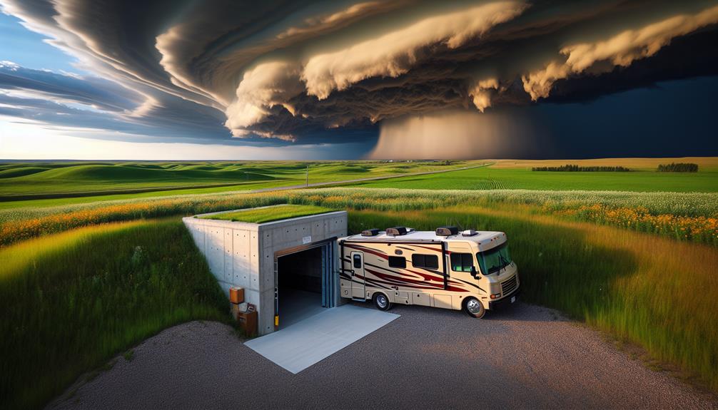
Analyzing Road Network for Safe Storm Chasing

storm chasing road safety

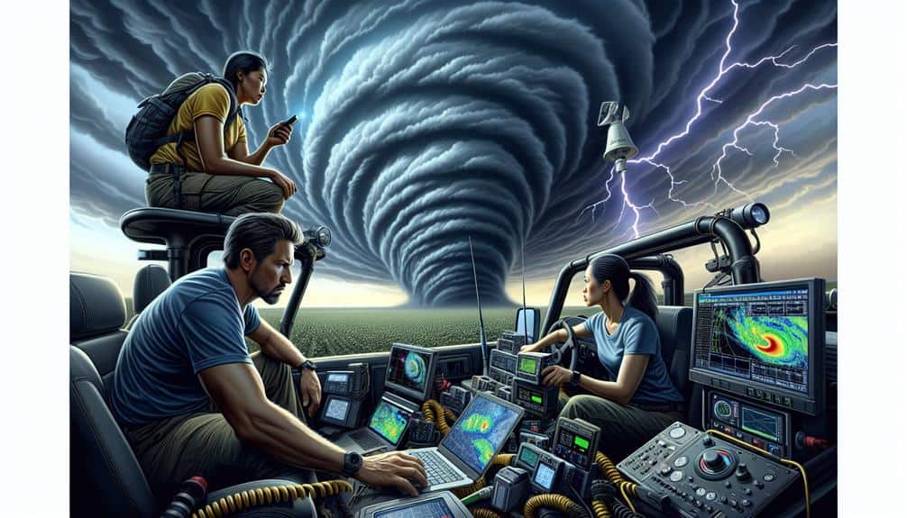
We examine road networks for safe storm chasing by integrating data-driven analytics and real-time weather monitoring. We evaluate road surface materials to predict traction during adverse conditions, using GIS maps to visualize flood-prone zones. By leveraging traffic sensors and GPS data, we map potential bottlenecks and model traffic behavior. Our focus includes evaluating road infrastructure […]

Analyzing Road Network for Safe Storm Chasing Read More »
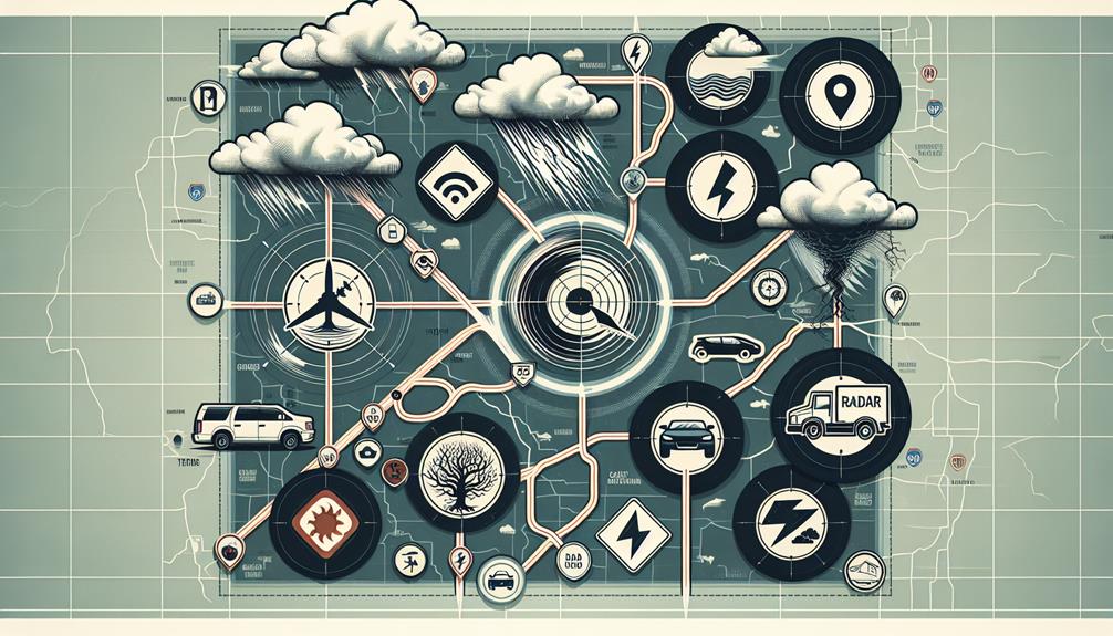
Top Strategies for Successful Storm Chasing Risk Assessment

storm chasing safety guide

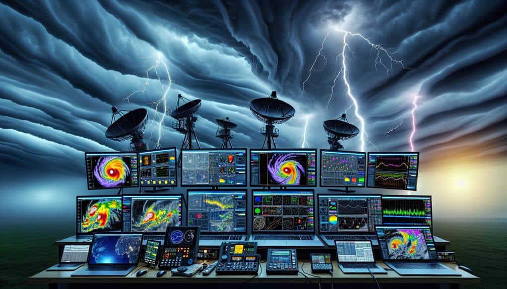
We prioritize a data-driven approach to storm chasing risk assessments by first understanding atmospheric conditions using Doppler radar and satellite imagery. Weekly maintenance and calibration of our equipment guarantee reliability in the field. Analyzing terrain aids in precise route planning and safety precautions. Evaluating our team's skills through continuous training enhances response capabilities. We plan

Top Strategies for Successful Storm Chasing Risk Assessment Read More »

Top Tips for Storm Chasers' Safety Protocol Assessment

storm chasers safety tips

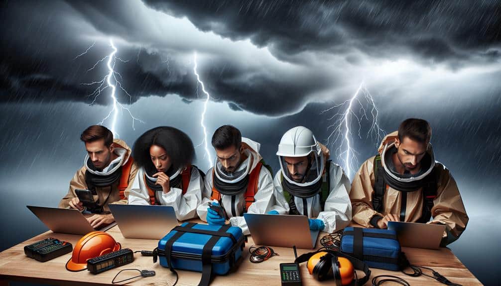
We prioritize extensive safety protocols to protect storm chasers during severe weather events. We rely on advanced tools like Doppler radar and numerical weather prediction models for tracking and analyzing storm patterns. Necessary safety gear includes waterproof, wind-resistant clothing, protective eyewear, and durable non-slip boots. Reliable communication strategies utilizing radio systems and real-time weather apps

Top Tips for Storm Chasers' Safety Protocol Assessment Read More »

Enhancing Storm Chasing Safety Through Predictive Modeling

improving storm chasing safety

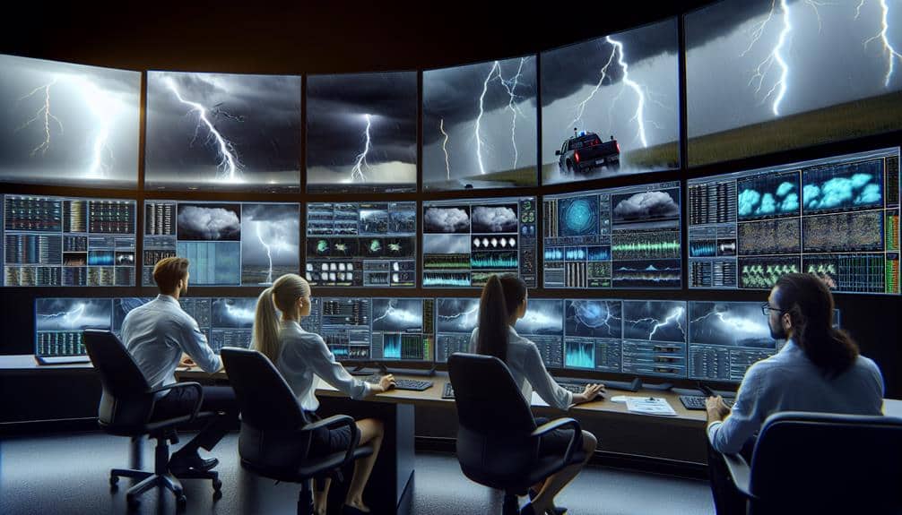
We enhance storm chasing safety by using predictive models that integrate real-time data and complex algorithms to forecast storm trajectories and development. By analyzing atmospheric pressure, humidity, and wind patterns, we can strategically position ourselves to mitigate risk. Satellite tracking, drones, and ground-based radar provide precise data, enabling adaptive safety protocols and informed decision-making. Machine

Enhancing Storm Chasing Safety Through Predictive Modeling Read More »

What Tools Are Essential for Advanced Storm Chasing Risk Assessment?

storm chase safety tools

For advanced storm chasing risk assessment, we utilize high-resolution radar systems like Doppler radar to track precipitation, wind shear, and mesocyclones. Satellite imagery tools help analyze weather patterns, temperature gradients, and moisture content. Mobile weather stations provide vital on-site data, including barometric pressure, wind speed, and humidity. Data analysis software processes these inputs with statistical

What Tools Are Essential for Advanced Storm Chasing Risk Assessment? Read More »

Maximizing Safety: 5 Tips for Tornado Risk Assessment

tornado risk assessment tips

We enhance tornado safety by examining historical weather patterns with high-definition datasets, which aids us in linking data with past tornado occurrences. By identifying high-risk zones and creating predictive models, we guarantee our community is ready with detailed evacuation routes and strategically positioned shelters. Evaluating tornado strength using the Enhanced Fujita Scale and Doppler radar

Maximizing Safety: 5 Tips for Tornado Risk Assessment Read More »

What Factors Determine Storm Chasing Safety and Thrill?

storm chasing risks and rewards

We grasp that storm chasing safety and thrill depend on several crucial factors. Accurate weather forecasts from skilled meteorologists and real-time data integration are essential. Our equipment must be reliable to prevent accidents, and communication systems keep us connected. Experienced chasers make better risk assessments. Balancing terrain and location challenges, like visibility and road access,

What Factors Determine Storm Chasing Safety and Thrill? Read More »

Why Is Real-Time Weather Data Crucial for Storm Chasers?

importance of real time data

Real-time weather data is essential for storm chasers because it improves our safety and decision-making. It provides us with immediate updates on storm trajectories, intensities, and potential hazards, enabling us to adjust routes and avoid life-threatening situations. By analyzing live data from radar, satellite imagery, and sensors, we can predict storm movements with high accuracy,

Why Is Real-Time Weather Data Crucial for Storm Chasers? Read More »

7 Essential Tips for Storm Chasing Risk Assessment

storm chasing safety tips

To effectively evaluate storm chasing risks, we analyze meteorological data and utilize reliable forecast tools like Doppler radar and satellite imagery. Assessing storm severity entails monitoring wind speeds and atmospheric pressure changes. We must evaluate terrain to plan safe routes, steering clear of dangers and ensuring unobstructed visibility. In-depth emergency plans with clear communication protocols,

7 Essential Tips for Storm Chasing Risk Assessment Read More »

5 Best Storm Shelter Locations for RV Travelers

top rv storm shelters

As RV travelers, it's important that we are aware of the top storm shelter locations to guarantee our safety during severe weather. Community centers, typically located near parks or shopping malls, are equipped with essentials like first aid kits and water. Public libraries, with their strong structures, provide access to weather updates and Wi-Fi. Rest

5 Best Storm Shelter Locations for RV Travelers Read More »

Scroll to Top