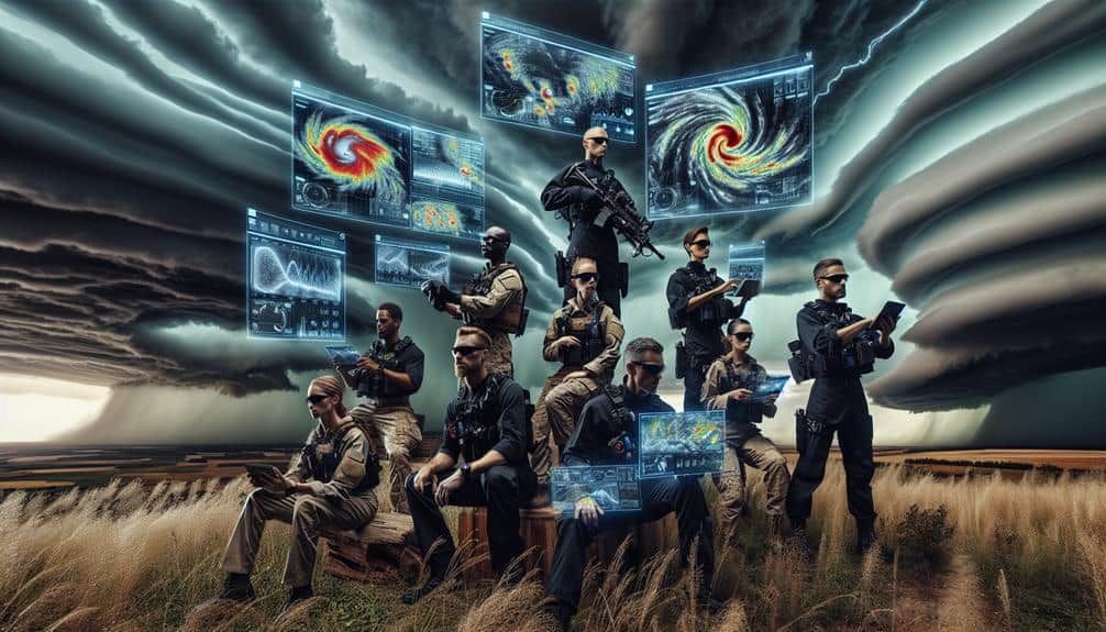
We enhance storm chasing safety by using predictive models that integrate real-time data and complex algorithms to forecast storm trajectories and development. By analyzing atmospheric pressure, humidity, and wind patterns, we can strategically position ourselves to mitigate risk. Satellite tracking, drones, and ground-based radar provide precise data, enabling adaptive safety protocols and informed decision-making. Machine learning algorithms refine our forecasting accuracy and risk assessments dynamically, ensuring we stay ahead of potential threats. With this data-driven approach, we can notably improve our operational efficiency and safety during storm chasing efforts, facilitating deeper insights into the world of severe weather prediction.
Key Points
- Predictive models forecast storm trajectories, aiding storm chasers in strategic positioning and risk mitigation.
- Real-time data from High-Resolution Rapid Refresh models enhance decision-making during storm chasing.
- Machine learning algorithms analyze historical weather data to improve predictive accuracy.
- Integrated satellite, radar, and drone data provide comprehensive insight into storm systems.
Importance of Predictive Models
In storm chasing, predictive models are essential because they enable us to anticipate severe weather conditions with greater accuracy and timeliness. By utilizing complex algorithms and vast datasets, we can forecast the development and trajectory of storms. These models are critical for risk mitigation, allowing us to strategize and position ourselves in safer locations while maximizing our data collection opportunities.
Predictive models incorporate a variety of meteorological data, such as atmospheric pressure, humidity, wind patterns, and temperature gradients. When we analyze this data, we can generate simulations that predict severe weather events. For example, models like the High-Resolution Rapid Refresh (HRRR) provide near real-time data, enhancing our ability to make informed decisions on the fly. These resources reduce the likelihood of unexpected encounters with dangerous weather, notably improving our safety.
Moreover, the precision of these models facilitates better planning and coordination among team members. We can communicate more effectively, ensuring that everyone is aware of potential risks and the necessary safety measures. By leveraging predictive models, we enhance our operational efficiency and maintain the freedom to chase storms without compromising our well-being.
Data Collection Techniques
To effectively capture the necessary data for storm analysis, we employ a range of advanced instruments and methodologies. By leveraging advanced technologies, we ensure our data collection is both thorough and precise. Here's how we accomplish this:
- Satellite Tracking: Utilizing geostationary and polar-orbiting satellites, we monitor storm systems in real-time. These satellites provide vital information on storm formation, movement, and intensity, enabling us to predict potential paths and impacts with greater accuracy.
- Drone Surveillance: Drones offer unmatched flexibility in data collection. Equipped with high-resolution cameras and atmospheric sensors, they can fly into areas that are otherwise inaccessible or too hazardous for human observers. This allows us to gather detailed, localized data on storm dynamics and environmental conditions.
- Ground-Based Radar Systems: Complementing our aerial and space-based data, ground-based radar systems track precipitation, wind speeds, and storm structure. These radars are essential for real-time updates and short-term predictions, allowing us to refine our models and enhance safety protocols.
Analyzing Weather Patterns
Understanding weather patterns requires us to meticulously analyze vast datasets collected from multiple sources to identify trends and anomalies that can inform our predictive models. We dive deep into data from radar systems, satellite imagery, and ground-based observations, employing statistical methods and machine learning algorithms to enhance our weather forecasting accuracy. By doing so, we can detect early signs of storm formation and track their development with precision.
We use historical weather data to build robust models, which help us understand how specific conditions lead to storm events. These models aren't static; they continuously evolve as new data streams in, allowing for real-time updates in storm detection capabilities. Sophisticated pattern recognition techniques enable us to distinguish between normal atmospheric variations and indicators of severe weather.
Our analytical approach doesn't just rely on raw data but integrates multiple layers of information. For instance, we analyze temperature gradients, humidity levels, and wind patterns to create a thorough picture of the atmospheric state. This multi-faceted analysis is essential for predicting storm paths and intensities. By refining our understanding of weather patterns, we enhance our predictive models, ultimately contributing to safer storm chasing endeavors.
Risk Assessment Algorithms
We quantify storm-related hazards using data-driven algorithms that evaluate potential risks with high precision.
By integrating real-time threat analysis, we can dynamically adjust our safety protocols to respond to evolving weather conditions.
This adaptive approach guarantees that our risk assessments remain accurate and actionable throughout the storm-chasing process.
Data-Driven Hazard Evaluation
Risk evaluation algorithms enable us to quantify potential dangers by analyzing vast datasets, thereby enhancing the precision of storm chasing safety protocols. By leveraging advanced machine learning techniques, we can refine our hazard prediction models, offering a more detailed assessment of imminent threats. This approach allows us to optimize safety measures, ensuring both the effectiveness and protection of storm chasers.
Key components of data-driven hazard assessment include:
- Predictive Analytics: Utilizing historical storm data combined with real-time inputs to forecast potential weather hazards. This includes evaluating variables such as wind speeds, precipitation levels, and atmospheric pressure changes.
- Risk Scoring Models: Assigning quantitative scores to various storm-related risks, enabling us to prioritize and address the most significant dangers first. This helps in making informed decisions on whether to advance, retreat, or alter course.
- Dynamic Data Integration: Incorporating diverse data sources, from satellite imagery to on-the-ground sensor inputs, to create a thorough picture of the storm environment. This holistic view is essential for accurate hazard prediction and safety optimization.
Real-Time Threat Analysis
Real-time danger analysis relies on the continuous processing of live data streams to pinpoint emerging dangers with unmatched accuracy. By leveraging risk evaluation algorithms, we can assimilate meteorological data, radar signals, and satellite imagery into a cohesive analytical framework. This enables us to identify potential storm threats in real-time, enhancing our emergency response capabilities and informing critical decision making.
Our algorithms prioritize data precision and speed, enabling us to detect and interpret rapid changes in weather patterns. For instance, machine learning models can analyze wind shear, humidity levels, and temperature gradients to predict tornado formation minutes before it occurs. These insights are invaluable for storm chasers who need to make immediate, informed decisions to guarantee their safety while gathering essential scientific data.
Furthermore, integrating real-time danger analysis with geospatial data allows us to map out the safest routes and potential evacuation areas, reducing risk exposure. The real-time feedback loop not only aids in immediate decision making but also enhances our predictive models over time as they learn from each event. This dynamic approach empowers us to maintain the freedom to pursue storm chasing while significantly lessening the associated risks.
Adaptive Safety Protocols
Leveraging advanced risk assessment algorithms, we can dynamically adjust safety protocols to respond to the evolving conditions of severe weather events. This allows us to implement adaptive safety measures that guarantee we remain agile and responsive, safeguarding both our teams and the public.
To optimize our emergency response and safety measures, we integrate real-time data from multiple sources, such as radar systems, weather satellites, and on-the-ground sensors. This data-driven approach enables us to:
- Predict Hazard Zones: By continuously analyzing weather patterns, we can identify potential danger areas and adjust our routes to avoid them.
- Optimize Resource Allocation: Our algorithms help us determine where to deploy our emergency response teams and resources most effectively, guaranteeing rapid assistance where it's needed most.
- Enhance Communication Protocols: Adaptive protocols enable us to update our teams with the latest information, ensuring they have the data necessary to make informed decisions in rapidly changing environments.
These adaptive safety protocols not only enhance our operational efficiency but also empower us to chase storms with a greater sense of freedom and security. By continuously refining our risk assessment algorithms, we can anticipate threats more accurately and act decisively, transforming the way we approach storm chasing.
Real-Time Monitoring Tools

To enhance our predictive capacities, we rely on advanced real-time monitoring tools that aggregate and analyze meteorological data with high precision. By utilizing radar systems, satellite imagery, and ground-based sensors, we can obtain a thorough view of storm development and trajectory. This data-driven approach allows us to refine our decision-making strategies, guaranteeing that we can anticipate and react to rapidly changing weather conditions effectively.
Our real-time monitoring tools play a vital role in supporting emergency response efforts. With access to instantaneous updates, we can quickly identify areas at greatest risk and allocate resources accordingly. For example, when radar detects a sudden increase in storm intensity, we can alert local authorities and storm chasers to take immediate protective actions.
Furthermore, the integration of machine learning algorithms enhances our ability to predict storm behavior. These algorithms analyze historical data patterns and current meteorological inputs to provide predictive insights that guide our decision-making strategies. This secures we maintain a proactive stance, rather than a reactive one, optimizing both safety and efficiency.
Future of Predictive Modeling
As we look ahead, the future of predictive modeling promises even greater accuracy and efficiency through advancements in computational power and data integration techniques. By leveraging machine learning and advanced technology, we can enhance our storm chasing endeavors to a greater extent. Our approach involves three critical components:
1. High-Resolution Data Integration:
By integrating high-definition meteorological data from diverse sources, we can refine our predictive models. This includes satellite imagery, radar data, and ground-based sensors, enabling us to capture finer details of storm systems.
2. Machine Learning Algorithms:
Utilizing machine learning algorithms, we can identify complex patterns in vast datasets. These algorithms learn from historical storm data to predict future events more accurately. This iterative learning process continuously improves the model's reliability and precision.
3. Real-Time Computational Power:
The future lies in harnessing immense computational power to process data in real-time. Cloud computing and advanced processors allow for rapid simulations and updates, providing storm chasers with up-to-the-minute forecasts.
Frequently Asked Questions
How Can Storm Chasers Communicate Effectively During Severe Weather Events?
With 70% of storm chasers relying on mobile apps, we must guarantee effective communication by adhering to emergency protocols. Real-time data sharing and clear, concise updates will enhance our response, guaranteeing everyone's safety and freedom to operate.
What Personal Safety Gear Is Recommended for Storm Chasers?
For storm chasers, it's essential we carry personal safety gear like emergency shelters and GPS trackers. These tools help us stay safe and quickly locate each other during severe weather events, ensuring maximum freedom to chase safely.
How Do Storm Chasers Get Insurance for Their Activities?
We obtain insurance coverage by conducting thorough risk assessments, identifying potential hazards, and presenting data-driven safety measures to insurers. This analytical approach guarantees we're protected, allowing us the freedom to pursue storm chasing with minimized financial risks.
What Are the Legal Restrictions for Storm Chasing in Different Regions?
We must navigate varying legal permissions and restrictions when storm chasing. Geographic limitations and regulations differ by region, so we analyze local laws to guarantee compliance. This approach balances our pursuit of freedom and safety during expeditions.
How Can Amateur Storm Chasers Get Started Safely?
To start safely, we should follow safety precautions like checking weather updates and having a reliable communication plan. Equipment recommendations include GPS, sturdy vehicles, and protective gear. Remember, knowledge and preparation are our best allies.


