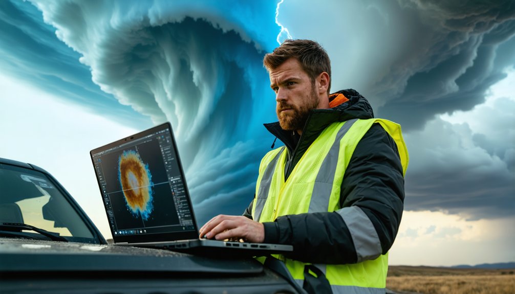
Storm chasers are now documenting climate change’s impact on severe weather intensity, deploying autonomous drones that recorded a 252 mph gust during 2025’s Hurricane Melissa—the highest dropsonde measurement ever captured. You’ll find their data feeds machine learning algorithms that process atmospheric conditions through improved model assimilation, while multi-institution partnerships like TORUS deploy mobile radars and unmanned aircraft across 367,000 square miles. These empirical observations quantify how warming temperatures alter boundary layer processes and mesocyclone coupling, transforming raw field measurements into actionable forecasting capabilities that reveal the mechanisms behind intensifying storms.
Key Takeaways
- Autonomous drones and AI-powered systems collect unprecedented storm data, enabling better climate adaptation strategies and early warning systems for vulnerable communities.
- Multi-university consortiums analyze complete hurricane lifecycles, developing nature-based infrastructure solutions and coastal monitoring systems for climate resilience.
- Storm chasers’ data improves tornado prediction models by revealing boundary layer processes critical for understanding how climate change affects severe weather patterns.
- AI weather models using storm chase data outperform traditional systems while reducing computational costs for resource-constrained regions facing climate threats.
- Field research drives development of biodegradable probes and sustainable technologies, minimizing environmental impact while advancing climate preparedness capabilities.
Advanced Technology Transforming Atmospheric Data Collection
As climate patterns intensify, atmospheric scientists deploy three converging technologies—satellite systems, unmanned aerial platforms, and artificial intelligence—to capture unprecedented storm data. You’ll find low Earth orbit satellites monitoring pollutants and greenhouse gases while enabling high-resolution climate modeling.
Autonomous unmanned systems like Black Swift S0 drones now penetrate hurricane cores, gathering critical measurements previously inaccessible to crewed aircraft. These platforms achieved record-breaking data collection in 2025, with one dropsonde recording a 252 mph gust during Hurricane Melissa.
Machine learning algorithms process this influx through improved model assimilation, analyzing aerosol-cloud interactions and atmospheric phenomena with precision impossible through conventional methods. The atmospheric satellite market expects 2.8% annual growth through 2030, driven by applications requiring granular environmental surveillance and predictive capabilities that support independent decision-making.
Multi-Institution Partnerships Driving Storm Research Forward
You’ll find that contemporary storm research increasingly depends on multi-institution frameworks that pool specialized resources and expertise across geographic boundaries.
The NSF-funded ENACTS collaboration exemplifies this trend, distributing $4 million across RISD, University of Rhode Island, University of New Hampshire, and University of Louisville to develop AR-based stormwater mitigation protocols and nature-based infrastructure solutions.
Similarly, HuRRI’s seven-university consortium in the Gulf Coast states addresses the complete hurricane lifecycle through systems-level analysis, while Rice University’s SSPEED Center partners with Texas A&M to deploy OpenSafe.AI for multi-hazard coastal monitoring.
TORUS: Multi-University Storm Alliance
Five major research institutions converge under TORUS (Targeted Observation by Radars and UAS of Supercells) to decode the atmospheric mechanisms that transform ordinary thunderstorms into tornado-producing supercells. You’ll find the University of Nebraska-Lincoln directing collaborative leadership with Colorado Boulder, Texas Tech, Oklahoma, and NOAA’s National Severe Storms Laboratory.
This alliance deploys 50+ researchers across 367,000 square miles, operating four unmanned aircraft systems, three mobile radars, and seven mobile mesonets simultaneously. Adam Houston coordinates field operations that integrate real-time data delivery capabilities to National Weather Service offices throughout storm-prone regions.
The partnership’s $4 million 2022 campaign represents NSF and NOAA’s investment in reducing tornado forecast false alarms while capturing small-scale atmospheric structures invisible to conventional detection systems.
International Collaboration in Africa
While North American storm research concentrates on tornado mechanics, African partnerships target flood forecasting and tropical cyclone resilience through technology transfer from European and UK institutions.
You’ll observe UNDP, AGRHYMET, and SMHI operating the FANFAR system since 2018, migrating European flood forecasting capabilities to West Africa.
Italian CNR-IBE deploys MOLOCH and WRF models through SLAPIS Sahel, establishing forecaster training programs in Florence and locally across Niger and Burkina Faso.
GCRF African SWIFT connects five UK partners with ten African institutions spanning Senegal to Kenya, creating regional data sharing platforms through ANACIM, GMet, and KMD.
UKCEH’s lightning sensor network exploits Meteosat Third Generation’s 15-minute retrievals, while REPRESA focuses on cyclone adaptation across Madagascar, Malawi, and Mozambique, strengthening early-warning systems for vulnerable populations.
Engineering Partnerships for Probes
Engineering partnerships across academia, government, and private industry advance storm probe technology through specialized collaborations that merge operational expertise with research innovation.
You’ll find UND-WMI’s $1 million contract demonstrates how instrumented Cessna Citation II aircraft operations enable precise cloud model validation through Mid-Course Doppler Radar integration.
Penn State’s thermodynamic probes—measuring temperature, humidity, pressure, GPS—utilize aerospace engineering collaboration for probe deployment logistics, evolving from rocket delivery to field-ready two-balloon systems tracking 34 units simultaneously. Probe durability testing drives biodegradable material development through Mike Hickner’s contributions, reducing environmental impact.
NOAA’s National Severe Storms Laboratory employs UAS alongside CIWRO for tornado-core data collection, while NASA’s Van Allen Probes mission coordinates eleven institutions studying radiation belts with 130 kg payloads generating 149 W power, refining spacecraft protection models through empirical magnetometer measurements.
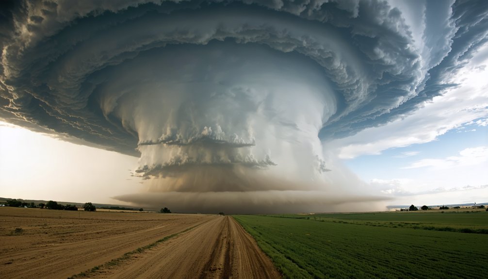
Unlocking the Mystery of Tornado Formation and Supercell Behavior
Supercell thunderstorms generate the vast majority of significant tornadoes through a complex sequence of atmospheric processes that researchers have systematically documented over decades of field campaigns. You’ll find vertical wind shear creates horizontal rotation that updrafts tilt into mesocyclones, with outbreak days showing 50 mph velocity variations from surface to cloud base.
The rear flank downdraft drags this rotation groundward, but tornadogenesis requires dramatic intensification—near-ground vertical vorticity must amplify one-hundredfold beyond typical supercell values. Boundary layer processes involving temperature and moisture convergence determine whether this intensification occurs. High relative humidity lowers cloud bases, enabling stronger coupling between mesocyclone and surface.
Microphysical modeling reveals precipitation loading‘s role in downdraft strength, which can’t exceed updraft temperatures by more than several kelvin for successful tornado formation.
From Data to Action: Enhancing Weather Prediction Capabilities
Several breakthrough AI weather models now surpass conventional numerical weather prediction systems in both accuracy and computational efficiency. GraphCast outperformed ECMWF’s HRES on 90% of 1,380 verification targets, while Pangu-Weather achieved lower tropical cyclone track errors and operates 10,000 times faster than ensemble NWP. You’ll find AI model evaluation demonstrates competitive performance: FourCastNet matches ECMWF medium-range skill, and Earth-2 Medium Range outperforms GenCast across 70+ variables.
Real world deployment challenges include integrating novel data sources—WindBorne balloons improved day-ahead temperature forecasts by 37%, and Earth-2 Nowcasting leverages global satellite observations for sovereign predictions. These systems enable direct hazard prediction for floods and extreme heat while expanding access through cloud-based services, reducing costs for resource-constrained regions seeking operational independence.
Documenting the Shift in Severe Weather Patterns Across North America
Storm chasers’ observational data reveals a documented eastward migration of Tornado Alley’s traditional boundaries, with increased severe weather frequency now concentrated in the lower Mississippi Valley and Southeast regions.
You’ll find moisture transport patterns have fundamentally shifted due to collapsing La Niña cycles and weakening Pacific trade winds, directly correlating with the anomalous early March 2026 outbreak that produced 210+ mph velocity deltas in the Southern Plains.
These empirical measurements demonstrate precipitation anomalies—wetter conditions in Pacific Northwest and East, deficits in Southwest—that directly influence convective storm initiation zones and severe weather potential across mid-latitude regions.
Tornado Alley Geographic Migration
Over 75 years of meteorological data reveal a pronounced eastward migration of tornado activity from the traditional Great Plains corridor into the Midwest and Southeast regions. You’ll observe declining frequency across Kansas, Oklahoma, and Nebraska during the Modern Era (1996-2024) compared to pre-1995 baselines.
Conversely, Dixie Alley—encompassing Mississippi, Alabama, Tennessee, and Arkansas—now averages more EF3+ violent tornadoes than Oklahoma. Geographic risk assessment shows a 50% increase in Southeast touch-downs from 2011-2020 versus the prior decade.
These tornado migration patterns stem from warmer Gulf waters increasing atmospheric moisture and northward jet stream shifts. You’re facing altered collision zones where moisture, instability, and wind shear converge.
The Southeast’s peak season now runs March-May with secondary November spikes, contrasting the traditional May-June timeline.
Increased Storm Frequency Documentation
As meteorological datasets expand beyond historical baselines, quantifiable shifts in severe weather patterns demonstrate accelerated event frequencies across multiple storm classifications. You’re witnessing documented evidence: high wind events increased 1.83% annually over 25 years, while hurricane rainfall that occurred once per century now manifests every 25 years.
Enhanced weather monitoring reveals 27 billion-dollar disasters in 2024, approaching record-setting frequencies. Texas and Kansas report highest annual wind events, with 40 states experiencing elevated occurrences compared to 25 years prior.
These empirical trends demand proactive community planning. You’ll find tornado parameter values correlating with reported incidents across expanding geographical regions, while extreme hurricane downpours demonstrate 300% increased probability.
Documentation confirms 403 billion-dollar events since 1980, quantifying storm intensification patterns that directly impact your preparedness strategies and resource allocation decisions.
Moisture Pattern Changes Impact
While precipitation deficits historically dictated drought conditions, contemporary climate data reveals evaporative demand now dominates water stress mechanisms across North America. You’re witnessing evaporative demand increase accounting for 61% of 2020-2022 American West drought severity—precipitation reduction contributes merely 39%.
This atmospheric thirst for water intensifies with each degree of warming, fundamentally altering moisture availability patterns you’ve documented. Global soil moisture trends demonstrate permanent decline over 2000-2022, with soils failing to recover from dry periods despite subsequent wet years.
At 2°C warming, dry surface soil month probability increases sixfold in Mediterranean climates even during high precipitation events. Your storm documentation now captures a transformed hydrological reality where temperature-driven evaporation supersedes rainfall patterns as the primary drought mechanism, marking an irreversible shift in terrestrial water dynamics.
Human and Environmental Costs of Inadequate Storm Forecasting
How much does inadequate storm forecasting actually cost society? You’re looking at $280 billion in annual damages by 2022, with storms comprising two-thirds of climate-related disaster costs. The economic impacts on vulnerable communities reveal stark disparities: flood risk runs 21% higher in low-income neighborhoods, while wildfire destruction rates increase 29% in these areas.
Missing reconstruction data—96% of records—obscures true costs, preventing proper financial compensation. The limitations of existing forecasting models compound these failures. NOAA’s Atlas 14 can’t account for current rainfall patterns, yet its replacement won’t launch until 2027. Meanwhile, federal infrastructure projects proceed using obsolete data, with one $86.1 million New Jersey road project projected to flood biennially over its operational lifetime.
Translating Field Research Into Community Resilience Strategies

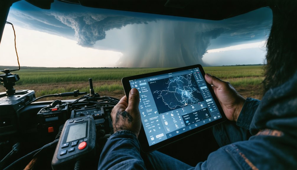
The gap between storm chase data collection and actionable community protection narrows through structured implementation frameworks. You’ll see data driven scenario planning transform atmospheric measurements into quantifiable risk models through supercomputing resources that process field observations into localized impact forecasts.
Inclusive community engagement operationalizes this intelligence when multisectored partnerships connect researchers with neighborhood leaders, translating wind speed measurements and pressure gradients into evidence-based construction standards like FORTIFIED protocols. Real-time crowdsourcing platforms convert your ground-truth observations into hyperlocal alerts, while disaster volunteer networks distribute technical findings through trained community advocates.
This bidirectional information flow guarantees reconnaissance data doesn’t remain in academic repositories—it becomes integrated into hazard assessments, building code revisions, and preparedness curricula that directly reduce your vulnerability to intensifying climate-driven storm systems.
Frequently Asked Questions
How Do Storm Chasers Fund Their Research Expeditions and Equipment Costs?
You’ll navigate research grant applications through NSF and universities while others bootstrap via business diversification—selling footage and photography. Equipment maintenance costs demand either institutional funding or disposable income, with true expenses tracked meticulously through spreadsheet documentation systems.
What Training Is Required to Become a Professional Storm Chaser?
You’ll need a bachelor’s degree in meteorology or atmospheric science for your educational background, plus hands-on field experience through SKYWARN certification, radar interpretation training, and documented severe weather observation hours to establish professional credibility.
How Do Chasers Stay Safe When Pursuing Dangerous Supercell Storms?
You’ll navigate rotating supercells by implementing rigorous personal safety protocols—maintaining southeast positioning for ideal escape routes, executing equipment maintenance procedures for mobile radar systems, and monitoring real-time Doppler data while maximizing distance from hail-producing wall clouds.
Can Individual Citizens Access Real-Time Data Collected During Storm Chases?
You’ll access real-time weather alerts and data visualization tools through free NWS feeds, cycRad, and Rain Viewer apps. These platforms deliver Level 2/3 radar data, storm-relative velocity products, and live chase streams directly to your mobile device.
What Happens to Collected Storm Data After the Research Season Ends?
Like ancient libraries preserving knowledge, you’ll find collected storm data retained locally for two years before transfer to NCEI for permanent data preservation. This enables long-term analysis, statistical verification, and unrestricted research access for future climate studies.