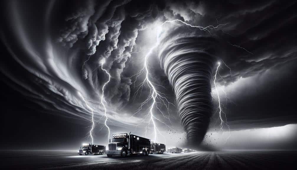
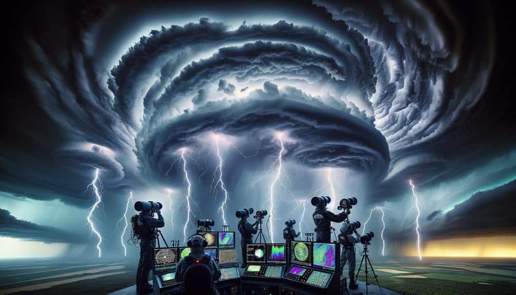
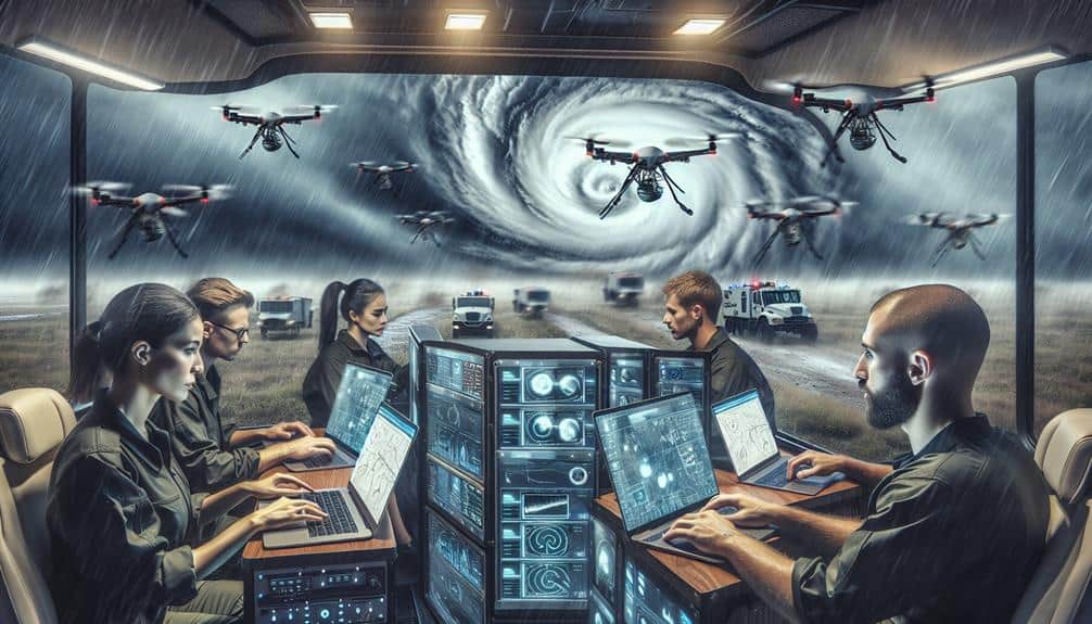
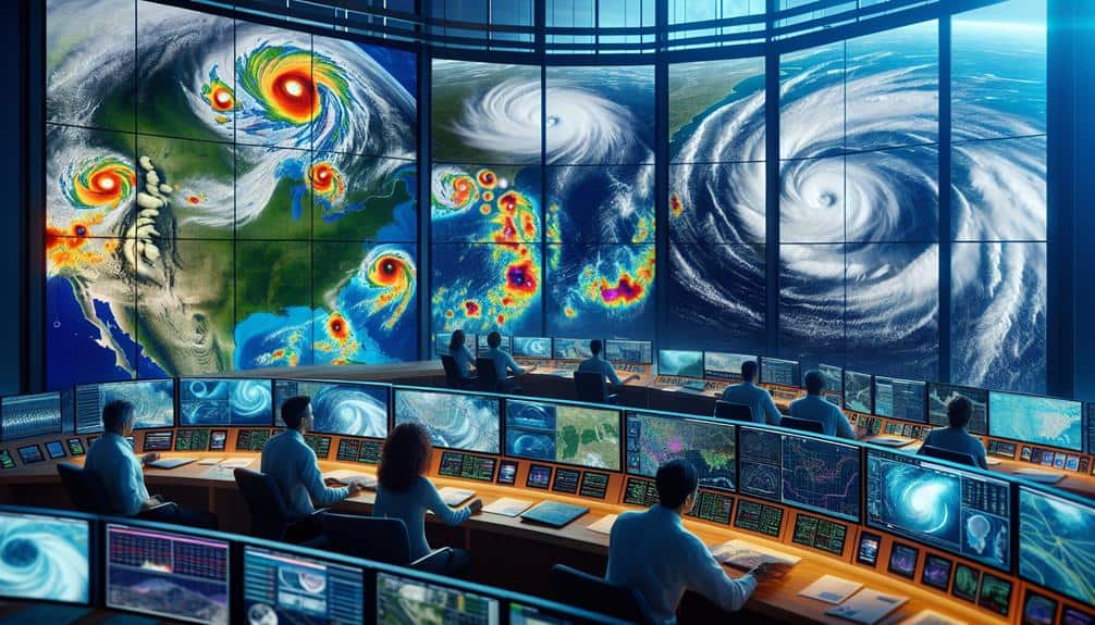
We utilize cutting-edge techniques like satellite imagery and Doppler radar to track hurricanes with unparalleled precision. Drones provide real-time data on wind speeds and atmospheric conditions, while weather buoys measure oceanic parameters continuously. High-frequency radars and UAVs guarantee detailed monitoring of storm developments. Integrating IoT sensors enhances our situational awareness and rapid response capabilities. Mobile weather stations offer localized meteorological insights, and advanced storm surge models predict flooding risks accurately. Social media analytics help gather real-time public sentiment and disseminate critical information swiftly. These advanced techniques empower us to chase storms safely and effectively while uncovering more detailed insights.
Key Points
- Satellite Imagery: Provides real-time data for tracking hurricanes, identifying potential landfalls, and enables timely emergency responses.
- Doppler Radar: Delivers detailed velocity mapping, precipitation estimation, and wind shear analysis for accurate storm tracking and forecasting.
- Drones: Monitors wind speeds, humidity, and pressure in the storm's eye, offering precise predictions and safe data collection.
- Weather Buoys: Collects real-time atmospheric and oceanic data, essential for calibrating predictive models and effective risk assessments.
Satellite Imagery
Satellite imagery provides us with real-time data essential for tracking the development and movement of hurricanes. By analyzing high-resolution images from geostationary and polar-orbiting satellites, we can pinpoint a storm's location, intensity, and trajectory with remarkable accuracy. This imagery is critical for storm tracking, allowing us to monitor changes in a hurricane's structure and predict its path. Real-time data helps us identify potential landfall zones, enabling timely and effective emergency response measures.
When we integrate satellite data with other meteorological tools, we gain a thorough understanding of the storm's dynamics. For instance, infrared and visible light images reveal cloud cover and temperature variations, offering clues about the hurricane's strength and organization. Water vapor imagery helps us assess moisture levels and atmospheric conditions that could influence the storm's behavior. These insights are invaluable for emergency response teams to strategize evacuations, allocate resources, and inform the public.
Doppler Radar
Let's focus on Doppler radar, a critical tool for storm chasers. It allows us to measure wind velocity, estimate precipitation rates, and analyze wind shear within hurricanes.
These capabilities provide precise data that enhance our understanding and prediction of storm dynamics.
Velocity Measurement
To accurately measure the velocity of storm systems, Doppler radar technology provides us with real-time data on wind speed and direction. By leveraging this advanced tool, we can generate detailed velocity mapping, essential for effective storm tracking and storm chasing.
Doppler radar emits pulses of microwave energy that bounce off precipitation particles, returning echoes that inform us of the velocity and movement of air masses within the storm.
The core advantage of Doppler radar lies in its ability to measure the phase shift of returned signals, enabling precise calculations of wind speed. This data is pivotal for storm chasers who need timely updates to adjust their positions and strategies.
As we monitor the storm's velocity, we can identify rotation patterns that may indicate the development of tornadoes or other severe weather phenomena.
Moreover, Doppler radar's dual-polarization capability enhances our understanding by differentiating between rain, snow, and other forms of precipitation. This feature allows for more accurate wind speed measurements and better storm tracking.
In the dynamic environment of storm chasing, having access to real-time, high-resolution velocity data empowers us to make informed decisions, ensuring safety and maximizing our observational capabilities.
Precipitation Estimation
How do we accurately estimate precipitation levels within a storm system using Doppler radar technology?
To begin, Doppler radar sends out pulses of microwave radiation that bounce off raindrops, snowflakes, and other precipitation particles. By analyzing the returned signals, we can determine the intensity and distribution of precipitation within the storm.
Radar accuracy is vital for storm chasers. High-resolution Doppler radar allows us to measure rainfall rates with remarkable precision. This data is fundamental in understanding the storm impact on affected regions. With accurate precipitation estimates, we can predict flooding events and better prepare for emergency responses. The radar's ability to differentiate between types of precipitation—such as rain, snow, or hail—adds another layer of detail to our analysis.
Moreover, Doppler radar's real-time updates give us a dynamic view of how a storm evolves. We can track the formation and dissipation of precipitation bands, which helps in predicting changes in storm strength and direction. This continuous monitoring is necessary for making timely decisions during storm chasing, ensuring we stay safe while gathering critical data.
Essentially, Doppler radar technology empowers us with the freedom to explore and understand these powerful natural phenomena.
Wind Shear Analysis
Doppler radar's capability to measure wind shear is vital for analyzing the vertical and horizontal variations in wind speed and direction within a storm system. By utilizing this advanced technology, we can detect wind shear impact with exceptional precision, allowing us to understand its influence on hurricane development and trajectory.
When we analyze Doppler radar data, we focus on the velocity signatures that reveal how wind speeds change at different altitudes. This vertical profile is essential because it helps us pinpoint areas with notable wind shear, which can either inhibit or intensify a storm.
Horizontal wind shear, on the other hand, provides insights into the broader wind field and its potential to steer the hurricane.
Our ability to interpret these variations greatly enhances forecasting accuracy. By identifying zones of strong wind shear, we can predict changes in storm intensity and movement more reliably. This precise information is invaluable for storm chasers who need to plan their positioning and timing meticulously.
Drones
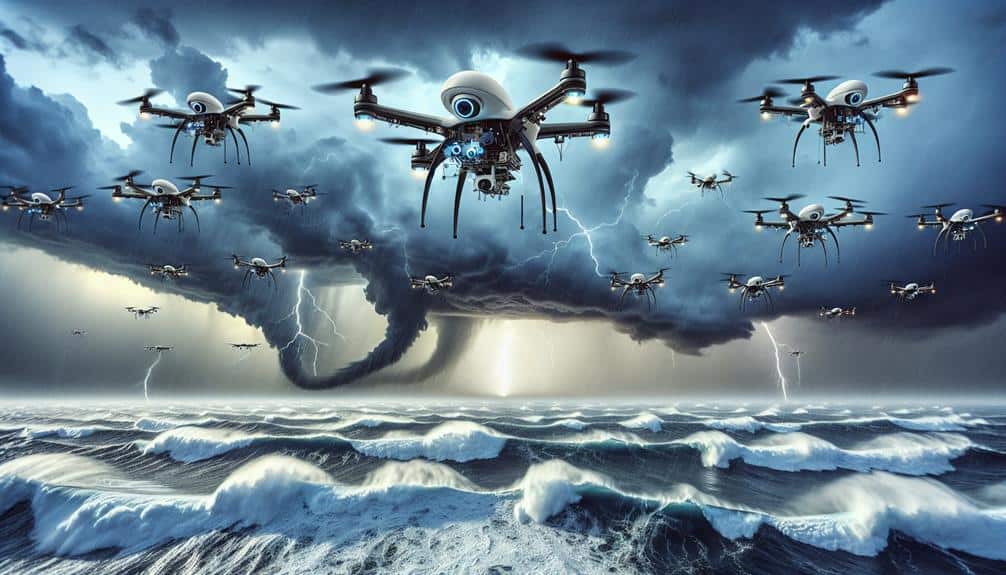
In recent years, drones have revolutionized how we gather real-time data during hurricanes, providing unprecedented access to storm conditions. Through advanced drone surveillance, we can now execute detailed storm tracking with unmatched precision.
Equipped with high-resolution cameras and sophisticated sensors, drones enable us to monitor wind speeds, humidity levels, and atmospheric pressure in the eye of the storm. This capability allows for more accurate predictions of a hurricane's path and intensity, which is vital for timely and effective disaster response.
Aerial reconnaissance missions conducted by drones offer a bird's-eye view of affected areas, aiding in the assessment of damage and the identification of critical zones requiring immediate attention. Unlike traditional manned aircraft, drones can operate in hazardous conditions and reach areas that are otherwise inaccessible, providing real-time imagery and data without risking human lives.
The agility and flexibility of drones enhance our ability to mobilize resources and coordinate rescue efforts efficiently.
Weather Buoys
Let's focus on weather buoys next.
They provide real-time data collection on oceanic conditions, which is vital for accurate hurricane monitoring.
With their remote deployment capabilities, we can position them strategically to gather essential information without risking human lives.
Real-time Data Collection
Weather buoys provide storm chasers with critical real-time data by continuously measuring atmospheric and oceanic conditions. These buoys are equipped with sensors that capture data on wind speed, barometric pressure, air temperature, and sea surface temperature. By relaying this information instantaneously, they enable experts to conduct precise risk assessments and adjust strategies accordingly.
Real-time data collection from weather buoys is indispensable for effective emergency response. As storm chasers, experts rely on this data to make informed decisions on the ground. When a buoy detects a sudden drop in barometric pressure, experts can deduce that a hurricane's intensity is escalating. This information helps local authorities issue timely warnings, potentially saving lives and reducing property damage.
Additionally, the real-time data aids in calibrating predictive models. By comparing buoy data against satellite imagery and radar outputs, experts refine their understanding of hurricane patterns. This continuous feedback loop enhances the ability to forecast storm paths and intensity with greater accuracy.
Oceanic Conditions Monitoring
Equipped with advanced sensors, weather buoys play an essential role in meticulously monitoring oceanic conditions crucial for hurricane tracking. By capturing real-time data, we gain insights into the critical parameters that influence storm development and intensity. These floating sentinels measure salinity levels, temperature gradients, wave dynamics, and current patterns, providing a detailed understanding of the ocean's state.
Let's break down the key functions of weather buoys:
- Salinity Levels: Variations in salinity can affect water density and, consequently, ocean circulation patterns that influence hurricane paths.
- Temperature Gradients: Monitoring sea surface temperatures helps us predict storm formation as warmer waters often fuel hurricane development.
- Wave Dynamics: By analyzing wave height and frequency, we can gauge the energy being transferred from the ocean to the atmosphere, impacting storm intensity.
- Current Patterns: Understanding ocean currents helps us track the movement of warm and cold water masses, which play a significant role in hurricane trajectories.
Remote Deployment Capabilities
Utilizing remote deployment capabilities, weather buoys can be strategically positioned in the most essential regions of the ocean to gather data on approaching hurricanes. By deploying these buoys, we establish a robust sensor network that provides continuous, real-time remote monitoring of oceanic and atmospheric conditions.
These buoys are equipped with advanced sensors that measure parameters such as sea surface temperature, barometric pressure, wind speed, and wave height.
Data transmission from these weather buoys is both rapid and reliable, ensuring that crucial information reaches us promptly. This capability is vital for effective emergency response and timely decision-making. As hurricanes approach, the data collected by the buoys allows us to track storm intensity and predict potential landfall locations with greater accuracy.
Using an extensive array of buoys, we can cover vast oceanic areas, creating a detailed picture of the hurricane's path and behavior. This network acts as an early warning system, providing essential insights that help safeguard lives and property.
Essentially, remote deployment of weather buoys enhances our ability to monitor hurricanes dynamically and respond swiftly to evolving threats, highlighting their indispensable role in modern storm chasing strategies.
High-Frequency Radars
High-frequency radars provide storm chasers with real-time data on wind speeds and precipitation patterns, necessary for accurate hurricane tracking. These radars offer extensive radar coverage, allowing us to monitor vast storm systems with precision.
By utilizing high-frequency signals, we achieve unparalleled data accuracy, essential for predicting a hurricane's path and intensity.
Our reliance on high-frequency radars is driven by several key advantages:
- Enhanced Radar Coverage: These radars cover large geographical areas, providing thorough data that helps us understand the full scope of the storm.
- Improved Data Accuracy: High-frequency signals penetrate storm systems more effectively, yielding precise measurements of wind speeds and precipitation rates.
- Real-Time Monitoring: The capability to receive immediate updates allows us to make prompt, informed decisions when tracking volatile weather conditions.
- Advanced Predictive Models: The accurate data collected feeds into predictive models, enhancing our ability to forecast storm development and potential impacts.
Unmanned Aerial Vehicles
Let's explore how unmanned aerial vehicles (UAVs enhance our hurricane monitoring capabilities.
UAVs allow us to deploy advanced sensors directly into storm systems, facilitating real-time data collection.
This data enhances our weather forecasting models, providing more accurate predictions.
Advanced Sensor Deployment
Unmanned Aerial Vehicles (UAVs) equipped with advanced sensors allow us to gather real-time, high-resolution data from the heart of hurricanes. These UAVs are game-changers in storm tracking and prediction accuracy, providing insights impossible to obtain through traditional methods.
Our rigorous sensor calibration guarantees that the data we collect is both accurate and reliable, crucial for the sophisticated data processing that follows.
When deploying UAVs, we focus on several critical aspects:
- Sensor Calibration: Ensuring sensors are meticulously adjusted to maintain data integrity under harsh conditions.
- Data Processing: Using advanced algorithms to convert raw sensor data into actionable insights.
- Storm Tracking: Employing UAVs to monitor storm paths in real-time, enhancing our ability to predict hurricane movements accurately.
- Prediction Accuracy: Leveraging high-resolution data to refine predictive models, improving the precision of our forecasts.
Real-time Data Collection
Real-time data collection using UAVs enables us to capture vital atmospheric parameters instantly, providing invaluable information for timely decision-making during hurricane events. By deploying unmanned aerial vehicles, we can gather high-resolution data on wind speed, temperature, humidity, and pressure without the limitations posed by traditional methods. This allows us to create accurate data visualizations and ensure immediate reporting that's pivotal for emergency response and public safety.
UAVs offer a unique advantage in that they can navigate the turbulent and hazardous conditions of a hurricane, relaying data back to our control centers in real time. This instantaneous feedback loop enables us to make quick, informed decisions aimed at mitigating the impact of the storm. The data collected is seamlessly integrated into our systems, enhancing our ability to coordinate emergency response efforts efficiently.
Moreover, the precision and accuracy of UAV-collected data enhance our situational awareness, allowing us to identify emerging threats and adapt our strategies accordingly. This technology not only helps in safeguarding lives but also sustains the freedom of movement and action essential during crisis situations.
Essentially, UAVs are revolutionizing how we approach hurricane monitoring, making our efforts more responsive and effective.
Enhanced Weather Forecasting
How can we leverage UAVs to enhance weather forecasting capabilities during hurricanes?
Unmanned Aerial Vehicles (UAVs) offer precise, real-time data collection from within the eye of the storm, revolutionizing our approach to hurricane monitoring. By deploying UAVs, we can gather vital meteorological data that improves the accuracy of weather models, which is essential given the increased frequency of extreme weather events due to climate change impact.
Here's how UAVs bolster our weather forecasting:
- Real-time Data: UAVs provide up-to-the-minute information on wind speeds, pressure, and humidity levels, enabling more accurate and timely forecasts.
- High-Resolution Imaging: Advanced sensors on UAVs capture high-definition images, offering detailed storm structure analysis that's important for predicting storm paths and intensities.
- Extended Coverage: UAVs can cover vast and remote oceanic areas that manned aircraft or satellites may miss, ensuring thorough data collection.
- Cost-Effective: UAVs are generally more cost-efficient than traditional manned flights, making frequent data collection feasible for better disaster preparedness and emergency response planning.
Internet of Things Sensors
The integration of Internet of Things (IoT) sensors in hurricane monitoring systems allows storm chasers to collect and analyze real-time data with unprecedented precision. By leveraging sensor integration and data analysis, we can track storm parameters such as wind speed, pressure, and humidity with exact accuracy. This data is transmitted in real-time to our analysis systems, enabling us to make immediate, informed decisions. IoT applications in storm tracking have revolutionized our approach, providing us with the critical information needed to predict storm paths and intensities with enhanced reliability.
These IoT sensors are strategically placed in various locations, from coastal areas to offshore buoys, enhancing our ability to monitor hurricanes comprehensively. The sensors communicate wirelessly, creating a dynamic network that feeds us continuous updates. This network not only improves our situational awareness but also allows us to deploy resources more efficiently and safely.
Incorporating IoT technology into our hurricane monitoring toolkit empowers us to act swiftly and decisively. With real-time data at our fingertips, we can adapt our strategies on the fly, ensuring we stay ahead of the storm. This cutting-edge technology is a game-changer, providing us the freedom to chase storms more effectively and safely than ever before.
Mobile Weather Stations
Leveraging mobile weather stations, we can gather localized meteorological data directly from the field, enhancing our overall hurricane tracking capabilities. These stations are designed to be deployed quickly and withstand severe weather conditions, offering us real-time insights and boosting our remote monitoring efficiency.
By capturing data such as wind speed, atmospheric pressure, and humidity, we can perform in-depth data analysis to predict storm patterns with greater accuracy.
Mobile weather stations empower us to:
- Deploy rapidly: Their compact and rugged design allows us to set them up in strategic locations quickly.
- Collect high-resolution data: Real-time data acquisition provides granular meteorological details essential for precise forecasting.
- Ensure data redundancy: Multiple units can be deployed to cross-verify data, enhancing reliability.
- Facilitate remote monitoring: These stations can transmit data back to a central hub, allowing us to analyze conditions continuously and make timely decisions.
Storm Surge Models
Understanding storm surge models is crucial for accurately predicting the impact of hurricanes on coastal areas. By integrating data from oceanographic sensors, satellite imagery, and meteorological inputs, we can generate precise storm surge mapping. These models enable us to visualize the potential inundation zones, providing critical information for impact analysis.
This visualization isn't just about knowing where the water will go; it's about understanding the depth and velocity of the surge, which directly influences the potential damage to infrastructure and natural landscapes.
Our primary goal is to enhance flood risk assessment and bolster preparedness planning. High-resolution models allow us to estimate the extent of flooding and pinpoint the most vulnerable regions. These insights are essential for local governments and emergency services, enabling them to strategize evacuations, allocate resources, and implement flood defenses effectively.
We must continuously refine these models by incorporating real-time data and improving computational algorithms. The accuracy of our predictions directly correlates with the data quality and the sophistication of our models.
As storm chasers, using cutting-edge storm surge models not only aids in safeguarding human lives but also ensures we're at the forefront of scientific advancements in hurricane monitoring.
Social Media Analytics
Amid the rapidly evolving digital landscape, social media analytics have become indispensable for storm chasers aiming to gather real-time data and public sentiment during hurricanes. By leveraging sentiment analysis and engagement tracking, we can monitor how communities are reacting to impending storms. This empowers us to make informed decisions and adjust our strategies on the fly.
To maximize our efforts, integrating influencer partnerships and a robust content strategy is crucial. Influencers with large followings can amplify critical information, guaranteeing it reaches a broader audience swiftly.
Here's how we can effectively use social media analytics:
- Sentiment Analysis: Gauging public sentiment helps us understand community concerns and readiness. It also allows us to identify misinformation and address it promptly.
- Engagement Tracking: Monitoring engagement levels on posts provides insights into which messages resonate most with the audience, enabling real-time adjustments to our communication strategy.
- Influencer Partnerships: Collaborating with local influencers can enhance the reach and credibility of our updates, ensuring essential information is disseminated effectively.
- Content Strategy: A well-planned content strategy ensures that our posts are timely, relevant, and impactful, maximizing both reach and engagement.
Frequently Asked Questions
How Do Storm Chasers Stay Safe During Extreme Weather Conditions?
We stay safe during extreme weather by rigorously following safety measures and emergency protocols. We monitor real-time data, maintain communication, and use advanced equipment to navigate hazards, ensuring we can operate independently while prioritizing our safety.
What Qualifications Are Needed to Become a Professional Storm Chaser?
To become professional storm chasers, we need specialized storm chasing education and training. Mastery of storm chasers' equipment and technology is vital. A solid understanding of meteorology, safety protocols, and advanced data collection techniques is essential.
How Do Storm Chasers Communicate With Each Other in the Field?
Did you know 90% of storm chasers utilize real-time communication methods? We rely on cutting-edge technology advancements like satellite phones and GPS. This guarantees flawless teamwork and coordination, essential for our safety and data accuracy.
What Are the Psychological Effects of Long-Term Storm Chasing?
Long-term storm chasing impacts mental health greatly. We must develop effective stress management techniques to mitigate anxiety and emotional strain. Our freedom to pursue this passion requires careful attention to psychological well-being and resilience strategies.
How Do Storm Chasers Fund Their Expeditions?
Ironically, chasing storms often leaves us chasing funding too. We rely on diverse sources: sponsorships, grants, and crowdfunding. Yet, financial challenges persist as expenses mount. Balancing passion with practicality demands constant resourcefulness and creative financial strategies.